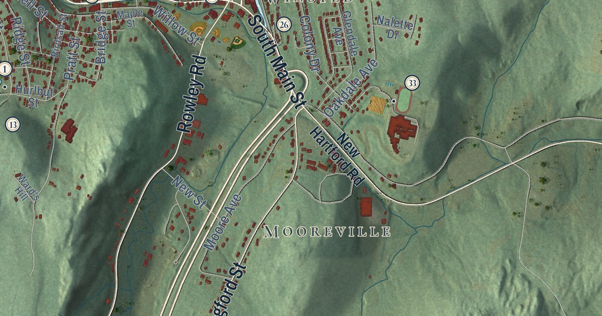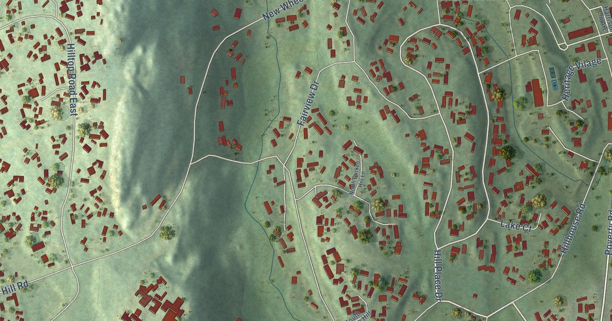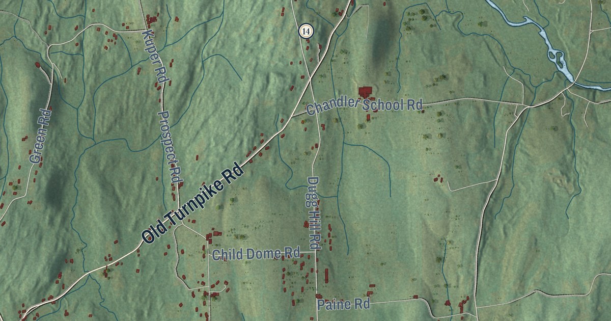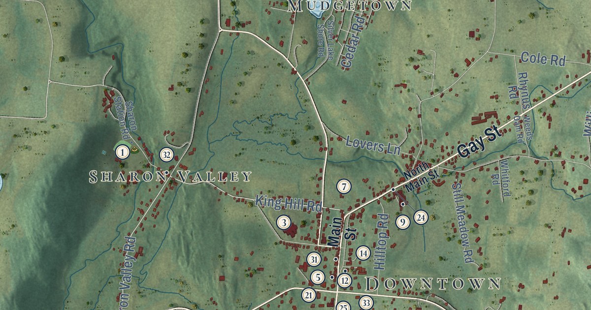
This beautifully detailed map of Sharon, Connecticut was created in 2026 using aerial imagery combined with modern topographical, census, street and landmark data. It’s a one-of-a-kind view of Sharon that combines accurate data with a vintage aesthetic. The map shows every building in its true location, many of the roads carry their names, and the shaded topographic relief shows the shape of the land.
See it on a wall
The Sharon map as an 18 x 24 inch print in a black frame.

Explore an aerial view of Sharon, Connecticut
On the map you’ll find Downtown, Amenia Union, West Woods, Bald Mountain, Bread Loaf Mountain, Buck Hill, Buck Mountain, Beardsley Pond, Beeslick Pond, Hamlin Preserve, Housatonic State Forest, Miles Wildlife Sanctuary, and more. If you look closely you can even find your house accurately drawn in its correct location. Zoom in on the preview to look for yours. Click here to learn more about the history of Sharon.
Take a closer look at the Sharon map
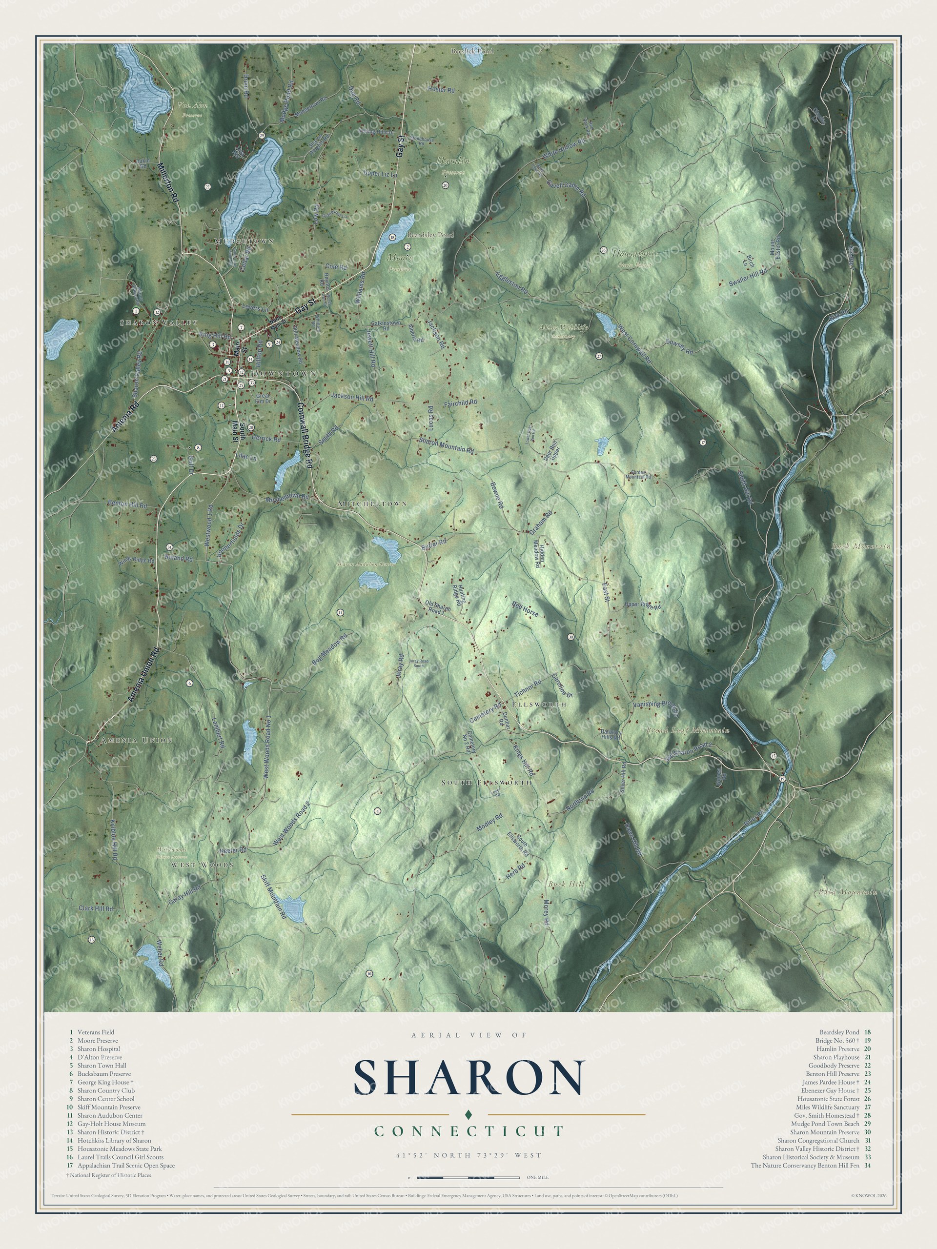
Click to explore a larger preview. The digital watermark does not appear on printed maps.
Names on this map
These names are printed on this map.
Places: Downtown, Amenia Union, West Woods, Bald Mountain, Bread Loaf Mountain, Buck Hill, Buck Mountain, Beardsley Pond, Beeslick Pond, Hamlin Preserve, Housatonic State Forest, Miles Wildlife Sanctuary, Moore Preserve, Sharon Audubon Center, Von Ahn Preserve, Wildwoods Nature Preserve, Ellsworth, Mudgetown, South Ellsworth, Sharon Valley and Mitcheltown.
Streets and roads: Cornwall Bridge Road, Amenia Union Road, Millerton Road, Gay Street, Amenia Road, King Hill Road, Cemetery Road, Sharon Valley Road, West Woods Road No 1, Westwood 1 Road, Skiff Mountain Road, Knibloe Hill Road.
More street names, A to Z
Alberta Road, Barberry Hills Road, Benton Hill Road, Birch Lane, Bog Meadow Road, Boland Road, Bowne Road, Butter Road, Calkinstown Road, Caray Hill Road, Caroline Drive, Cedar Road, Cemetery No 2 Road, Clark Hill Road, Claudia Lane, Cole Road, Dakin Road, Dawn Hill Road, Deer Run Upper, Downey Road, Drum Road, Dug Road, Dunbar Road, East Street, Eggleston Road, Fairchild Road, Gavel Cabin Road, Gavell Cabin Road, Golf Drive, Graham Road, Grandview Lane, Great Elm Drive, Guinea Road, Herb Road, Herrick Road, Hidden Meadow Road, Hilltop Road, Hooperfields Drive, Hosier Road, Hunting Ridge Road, Jackson Hill Road, Jackson Road, Jewett Hill Road, Joray Road, Joray Road South, Keeler Road, Kings Hill Road, Kirk Road, Lambert Road, Lilac Lane, Loper Road, Lovers Lane, Lower Deer Run Road, Low Road, Lucas Road, Luta Heights, Main Street, Mitchelltown Road, Modley Road, Morey Road, Mount Easter Road, Mudge Pond Road, Mudgetown Road, North Main Street, Northrup Road, Old Route 7, Old Sharon Road 1, Old Sharon Road 2, Red Horse, Red Rock Road, Rhynus Road, River Road, Rolling Hills Drive, Sharon Heights Road, Sharon Mountain Road, Sharon Station Road, Silver Hill Road, Silver Lake Shore Road, Smith Hill Road, Smith Road, South Ellsworth Road, South Main Street, Still Meadow Road, Stonehouse Road, Surdan Mountain Road, Swaller Hill Road, Tichnor Road, Upper Liz Lane, Upper Ridge Road, Vanishing Brook Lane, Weber Road, Weeds Dam Road, West Cornwall Road, West Woods Road 2, White Hollow Road, Whitford Road, Williams Road, Windy Ridge Road.
This beautifully detailed map of Sharon makes an attractive addition to your office, library, or den, and it can even be used to teach children the geography and history of the area. It also makes a great gift for someone who left Sharon and still calls it home. When you’re done exploring, click here to get your copy of the Sharon map.