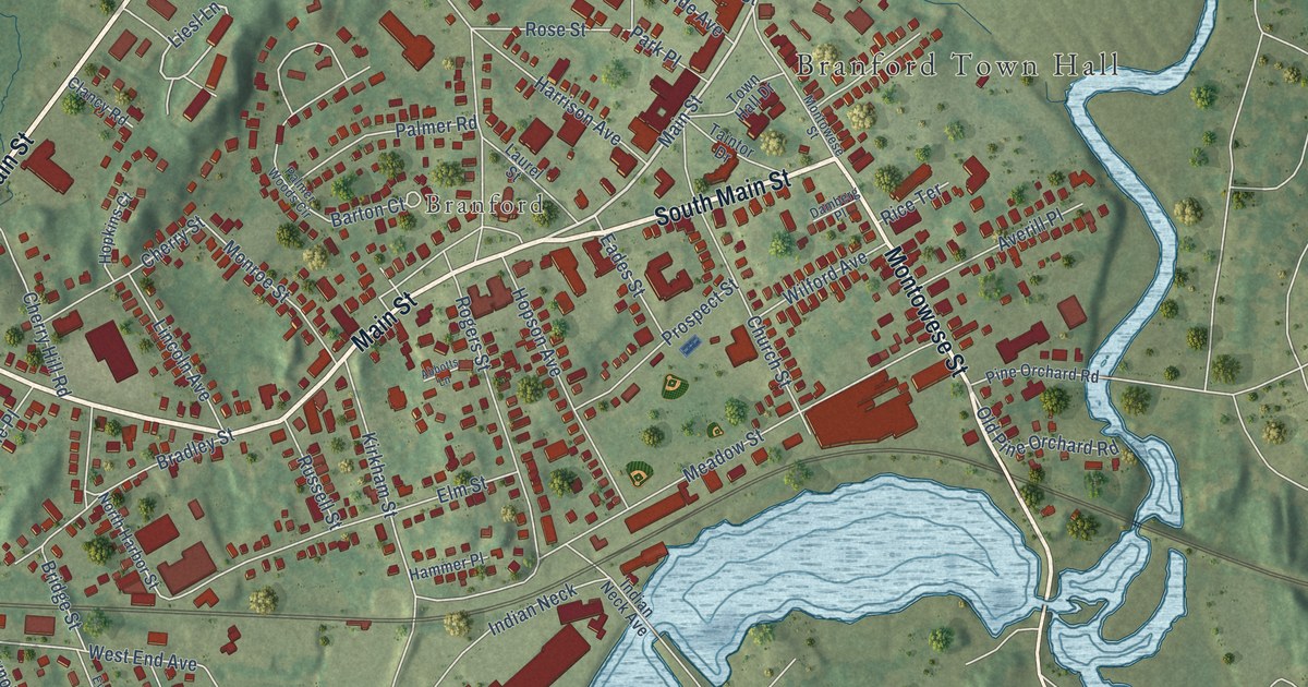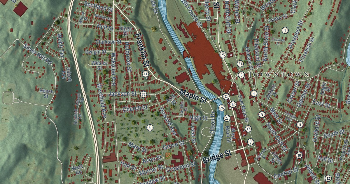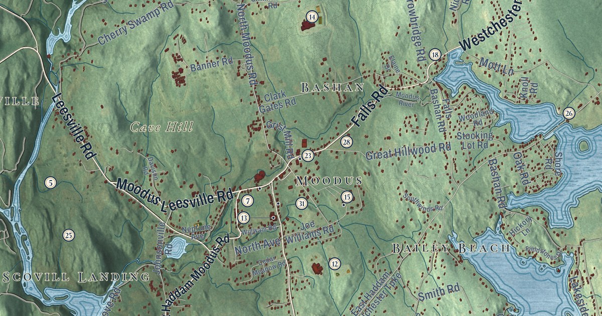
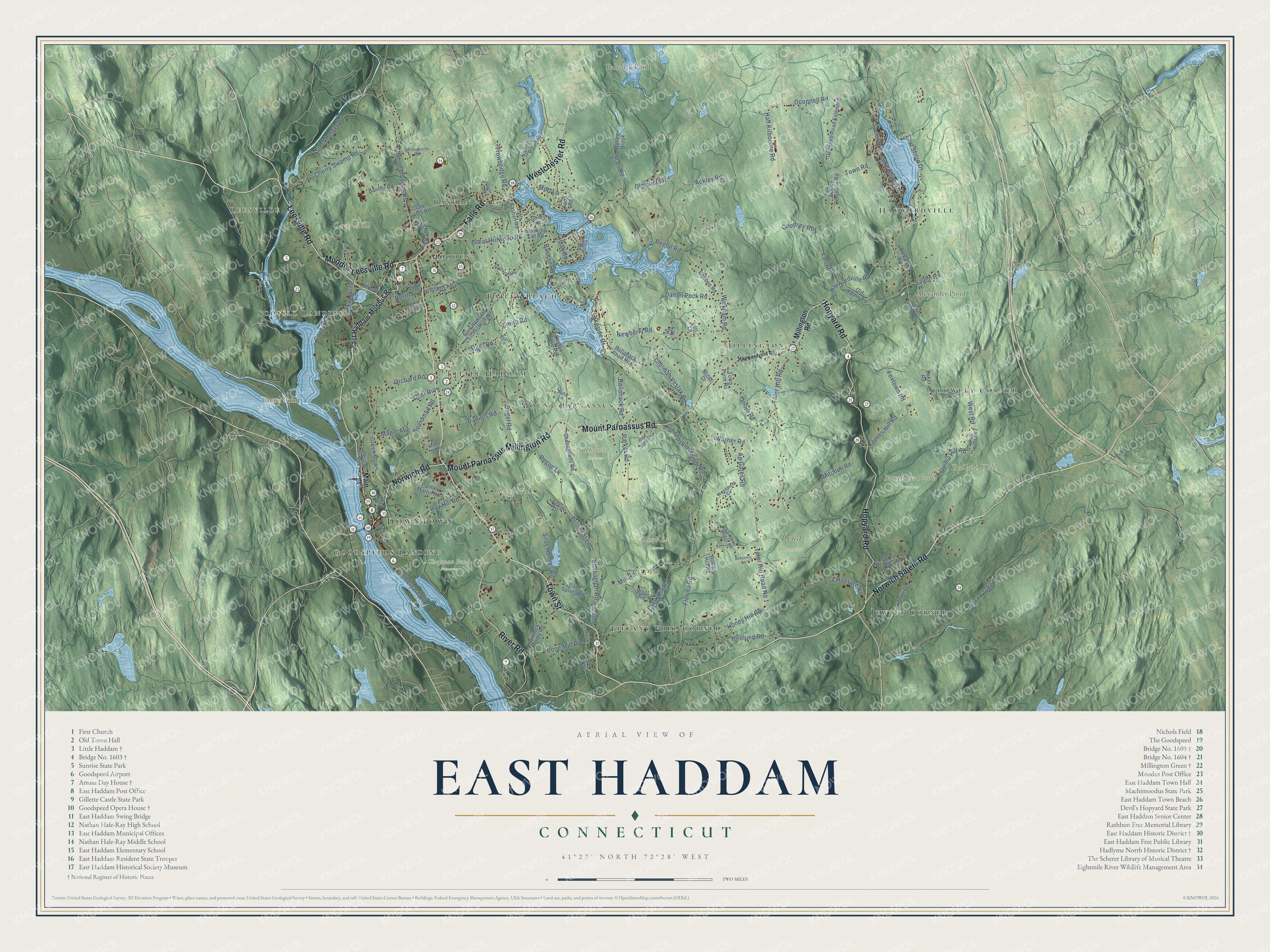
This beautifully detailed map of East Haddam, Connecticut was created in 2026 using aerial imagery combined with modern topographical, census, street and landmark data. It’s a one-of-a-kind view of East Haddam that combines accurate data with a vintage aesthetic. The map shows every building in its true location, many of the roads carry their names, and the shaded topographic relief shows the shape of the land.
See it on a wall
The East Haddam map as an 18 x 24 inch print in a black frame.

Explore an aerial view of East Haddam, Connecticut
On the map you’ll find Downtown, Leesville, Bald Hill, Cave Hill, Cones Point, Dolbia Hill, Alexander Pond, Babcock Pond, Burnham Brook Preserve, Chapman Pond Preserve, Harris Reserve, Hatch Lot Reserve, and more. If you look closely you can even find your house accurately drawn in its correct location. Zoom in on the preview to look for yours. Click here to learn more about the history of East Haddam.
Take a closer look at the East Haddam map
Click to explore a larger preview. The digital watermark does not appear on printed maps.
Names on this map
These names are printed on this map.
Places: Downtown, Leesville, Bald Hill, Cave Hill, Cones Point, Dolbia Hill, Alexander Pond, Babcock Pond, Burnham Brook Preserve, Chapman Pond Preserve, Harris Reserve, Hatch Lot Reserve, Lena Reserve, Bashan, Haywardville, Scovill Landing, Tiffany Hill Corner, Bailey Beach, Crowley Corner, Moodus, Jewitt Corner, Little Haddam, Millington, Mount Parnassus and Goodspeeds Landing.
Streets and roads: Town Street, Norwich Salem Road, Falls Road, Moodus Leesville Road, Westchester Road, Leesville Road, Norwich Road, Mount Parnassus Road, Hopyard Road, Mount Parnassus Millington Road, River Road, North Moodus Road.
More street names, A to Z
Ackley Cemetery Road, Ackley Road, Acorn Drive, Alexander Road, Alger Road, Ap Gates Road, Baker Lane, Baker Road, Ballahack Road, Ballahack Road No 2, Banner Road, Bashan Road, Beebee Road, Beebe Road, Benjamin Lane, Boardman Road, Bogel Road, Bogue Lane, Bone Mill Road, Brooke Hill Road, Cedar Meadow Road, Cherry Swamp Road, Clark Gates Road, Clark Hill Road, Cold Spring Road, Cove Road, Creamery Road, Creek Row, Daniel Peck Road, Daniels Road, Davison Road, Deer Run, Dolbia Hill Road, Early Road, East Haddam Colchester Turnpike, East Haddam Moodus Road, East Shore Drive, Elaine Drive, Essex Turnpike, Falls Bashan Road, Fay Drive, Fieldstones Drive, Florida Road, Fox Hopyard Road, Foxtown Cemetery Road, Foxtown Road, Geoffrey Road, Great Hillwood Road, Grist Mill Road, Hall Kilbourne Road, Haywardville Road, Hedlund Road, Hemlock Valley Road, Hem Street, Hickory Lane, Honey Hill Road, Hungerford Road, Joe Williams Road, Johnsonville Road, Jones Hill Road, Juda Lane, Knoll Road, Lake Shore Drive, Lakeside Drive, Landing Hill Road, Laurel Cove Road, Lookout Drive, Lori Lane, Lumberyard Road, Main Street, Maple Avenue, Millington Road, Mill Road, Miner Drive, Mitchell Road, Molley Brook, Moodus River, Mott Lane, Neptune Avenue, Newberry Road, Nichols Road, North Avenue, Oak Road, Oconnell Road, Oconnell Road Extended, Olde Field Drive, Old Salem Road, Old Town Street, Olmstead Road, Orchard Road, Oriole Road, Palmer Martin Road, Parker Road, Petticoat Lane, Phelps Road, Pratt Lane, Ray Hill Road, Rolling Hill Road, Salem Road, Sanfords Bridge Road, Schulman Veslak Road, Shanaghan Road, Shanaghans Road, Sheepskin Hollow Road, Shore Road, Silas Holmes Road, Sillimanville Road, Smith Road, Southwinds Road, Starr Road, Stockburger Road, Stocking Lot Road, Tater Hill Road, Tater Hill Road No 1, Three Bridges Road, Town Farm Road, Town Road, Trowbridge Road, Warner Road, West Road, West Road No 2, Wickham Road, Wigwam Road, Wocl Road, Woodland Road, Woodmont Circle.
This beautifully detailed map of East Haddam makes an attractive addition to your office, library, or den, and it can even be used to teach children the geography and history of the area. It also makes a great gift for anyone with East Haddam roots. When you’re done exploring, click here to get your copy of the East Haddam map.