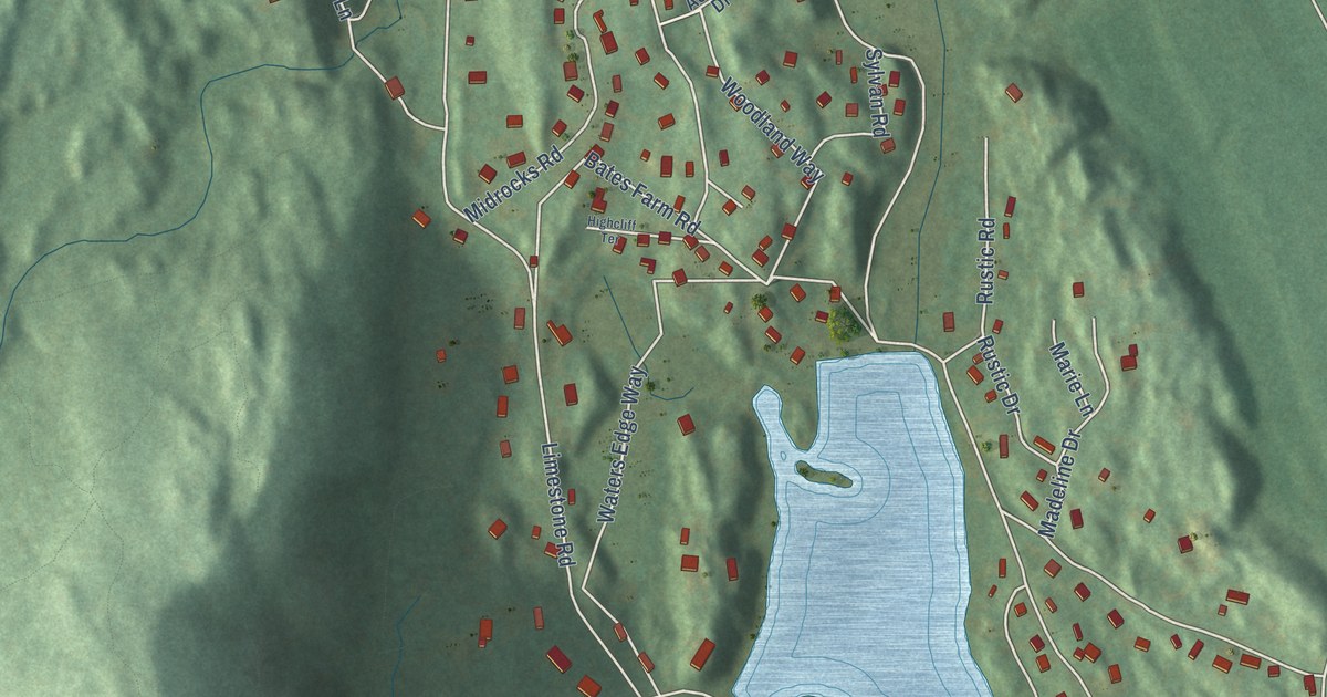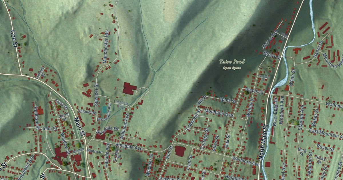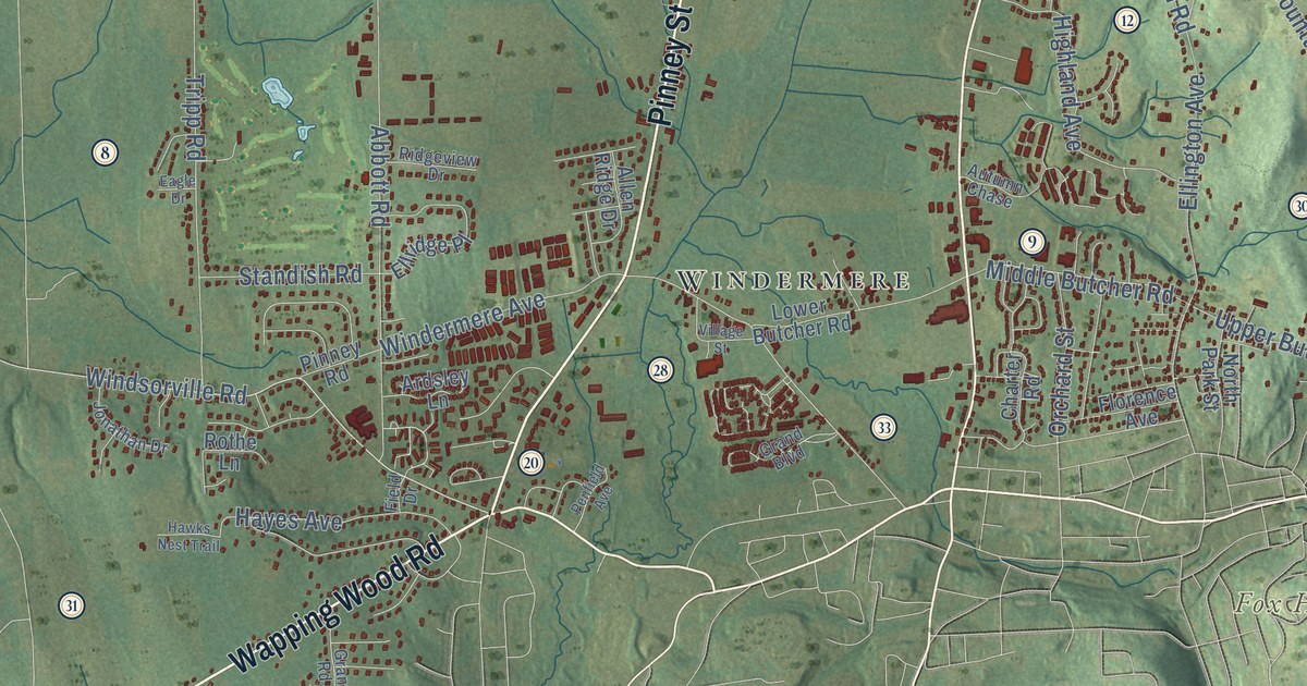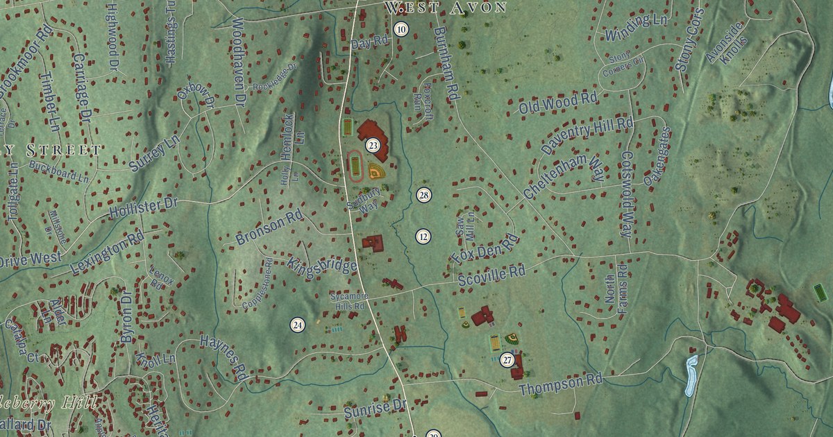
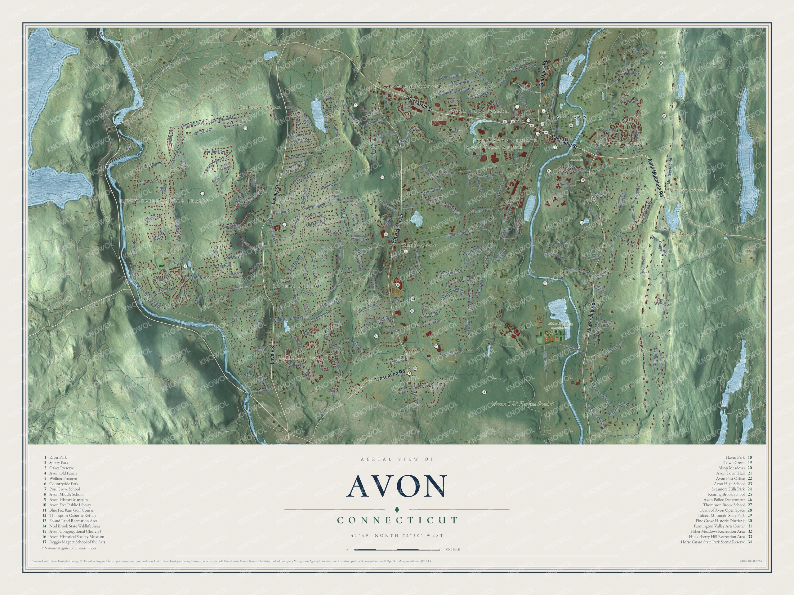
This beautifully detailed map of Avon, Connecticut was created in 2026 using aerial imagery combined with modern topographical, census, street and landmark data. It’s a one-of-a-kind view of Avon that combines accurate data with a vintage aesthetic. The map shows every building in its true location, many of the roads carry their names, and the shaded topographic relief shows the shape of the land.
See it on a wall
The Avon map as an 18 x 24 inch print in a black frame.

Explore an aerial view of Avon, Connecticut
On the map you’ll find Downtown, Alsop Corner, Huckleberry Hills Trails, Old Avon Village, Avon Park North, Cherry Park, Avon Mountain, Ely Mound, Huckleberry Hill, Avon Old Farms School, Alsop Meadows, Fisher Meadows Recreation Area, and more. If you look closely you can even find your house accurately drawn in its correct location. Zoom in on the preview to look for yours. Click here to learn more about the history of Avon.
Take a closer look at the Avon map
Click to explore a larger preview. The digital watermark does not appear on printed maps.
Names on this map
These names are printed on this map.
Places: Downtown, Alsop Corner, Huckleberry Hills Trails, Old Avon Village, Avon Park North, Cherry Park, Avon Mountain, Ely Mound, Huckleberry Hill, Avon Old Farms School, Alsop Meadows, Fisher Meadows Recreation Area, Hazen Park, West Avon, Crowleys Corner, Lovely Street and Avon Park South.
Streets and roads: East Main Street, West Main Street, Avon Mountain Road, Simsbury Road, West Avon Road, Waterville Road, Gatewood, Kingswood Drive, Arch Road, Woodmont Road, Windsor Court, Arlington Drive.
More street names, A to Z
Alcott Way, Alder Lane, Anvil Drive, Applewood Lane, Ariel Way, Avalon Drive, Avonridge, Avonside Knolls, Ayrshire Lane, Bailey Road, Bayberry Hill Road, Beverly Drive, Billingsgate, Biltmore, Birch Road, Bishop Lane, Blueberry Lane, Bolleswood Lane, Breezy Knoll, Brentwood Drive, Brian Lane, Brian Woods Drive, Briar Hill Road, Bridal Path, Bridgewater Drive, Brocklesby Road, Bronson Road, Brookmoor Road, Brookridge Drive, Brookridge Road, Buckboard Lane, Buckingham Road, Burnham Road, Buttonwood Hill Road, Byron Drive, Cambridge Crossing, Camelot Lane, Canal Court, Carriage Drive, Catalpa Court, Cheltenham Way, Cherry Tree Lane, Chevas Road, Chidsey Road, Cider Brook Road, Cliff Drive, Climax Road, Cold Spring Road, Copplestone Road, Cotswold Way, Country Club Road, Coventry Lane, Craigemore Circle, Crocus Lane, Curtis Lane, Dale Road, Darling Drive, Daventry Hill Road, Day Road, Deepwood Drive, Deercliff Road, Deer Ridge Road, Deer Run, Delbon Lane, Diane Drive, Eddy Street, Edwards Road, Ensign Drive, Fairway Ridge, Far Hills Drive, Fawn Run, Fenwick Drive, Fisher Drive, Forge Drive, Foxcroft Run, Fox Den Road, Frandel Drive, Garnet Hill Lane, Grant Drive, Haber Drive, Harris Road, Hastings Turn, Hawley Hill Road, Haynes Road, Hazen Drive, Helena Road, Hemlock Lane, Henderson Drive, Henley Way, Heritage Drive, Hickory Hill Road, High Gate Drive, Highridge Road, Highwood Drive, Hillcrest Drive, Hitchcock Lane, Hollister Drive, Hollister Drive West, Holly Lane, Homestead Lane, Huckleberry Hill Road, Hurdle Fence Drive, Indian Pipe Trail, Industrial Drive, Jay Court, Juniper Drive, Kingsbridge, Kings Wood Drive, Knoll Lane, Knollwood Lane, Lakeview Boulevard, Lawrence Avenue, Lenox Road, Lexington Road, Lofgren Road, Longview Road, Mallard Drive, Manion Lane, Meadow Ridge, Millstone Drive, Monroe Lane, Montevideo Road, Moravia Road, Mountain Estates Drive, New Road, Nod Road, Nod Way, North Farms Road, Northgate, Northington Drive, Nottingham Ridge, Oak Bluff, Oakengates, Oakridge Drive, Old Farms Road, Old Kings Road, Old Mill Road, Old Town Road, Old Wheeler Lane, Old Wood Road, Orchard Farms, Orchard Street, Oxbow Drive, Paper Chase Trail, Parker Road, Park Road, Parkview Drive, Pheasant Run, Pine Hill Road, Pine Tree Lane, Pioneer Drive, Poduny Trail, Pond Place, Princeton Drive, Quail Ridge, Reverknolls, Richard Street, Ridgebury Road, Ridgecrest Lane, River Head Road, Rivermead, Riverview, Rockledge Drive, Rosewood Road, Sachem Trail, Saddle Ridge Drive, Saw Mill Lane, Scarborough Drive, School Street, Sconsett Bluff, Scoville Road, Secret Lake Road, Security Drive, Sepous Road, Sheffield Lane, Sky View Drive, Smith Road, Somerset Drive, Southgate, Spyglass Drive, Stagecoach Road, Stevens Street, Stillbrook Road, Stonefield Road, Stony Corners Circle, Stony Cors, Sudbury Way, Sunnyridge Road, Sunrise Drive, Surrey Lane, Sycamore Hills Road, Sylvan Street, Talcott Notch Road, Tamara Circle, Terrace Drive, Terry's Ridge, Thistle Hollow, Thompson Road, Tillotson Road, Timber Lane, Tollgate Lane, Tyler Court, Valley View Drive, Vermillion Drive, Verville Road, Vista Terrace, Weatherstone, Wellington Heights Road, Westbury, West Hills Drive, Westland Road, Westmont Road, Wheeler Road, White Birch Lane, Wild Wild Drive, Winding Lane, Woodford Hills Drive, Woodhaven Drive, Woodland Drive, Wright Drive.
This beautifully detailed map of Avon makes an attractive addition to your office, library, or den, and it can even be used to teach children the geography and history of the area. It also makes a great gift for anyone with Avon roots. When you’re done exploring, click here to get your copy of the Avon map.