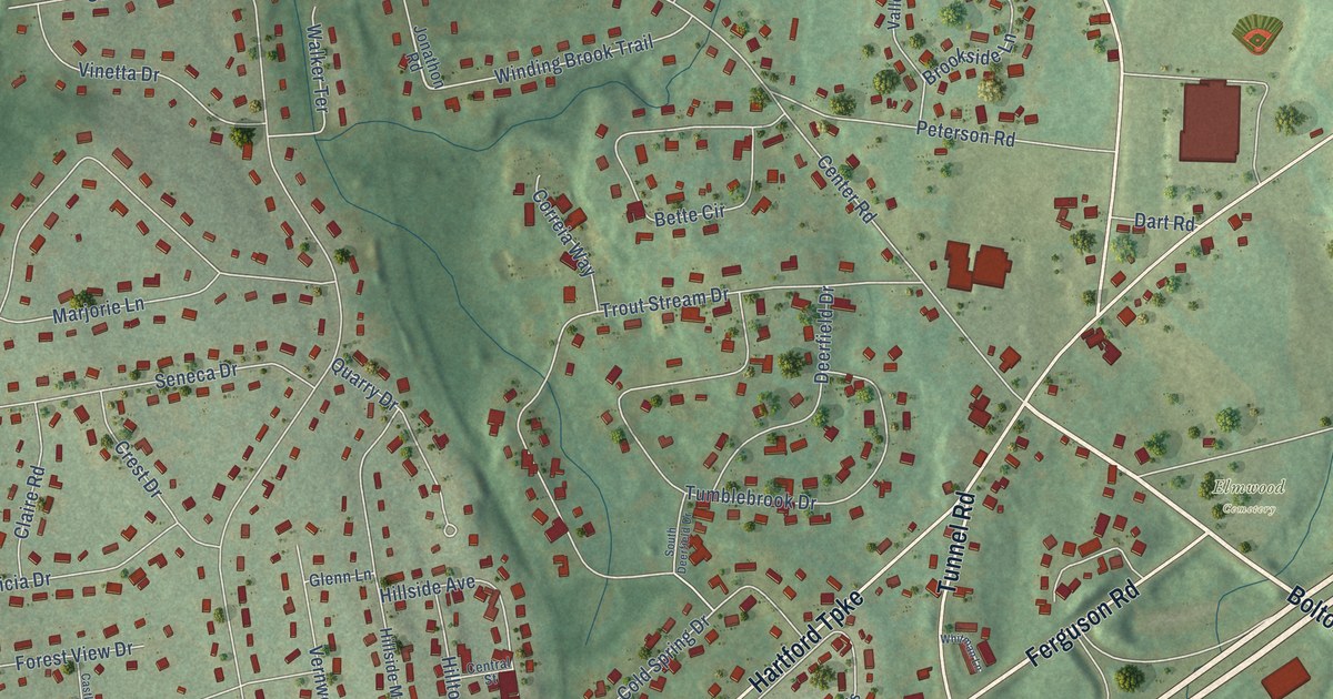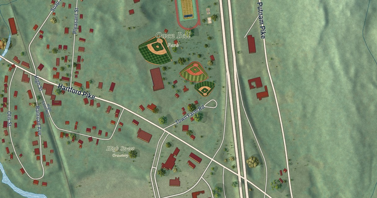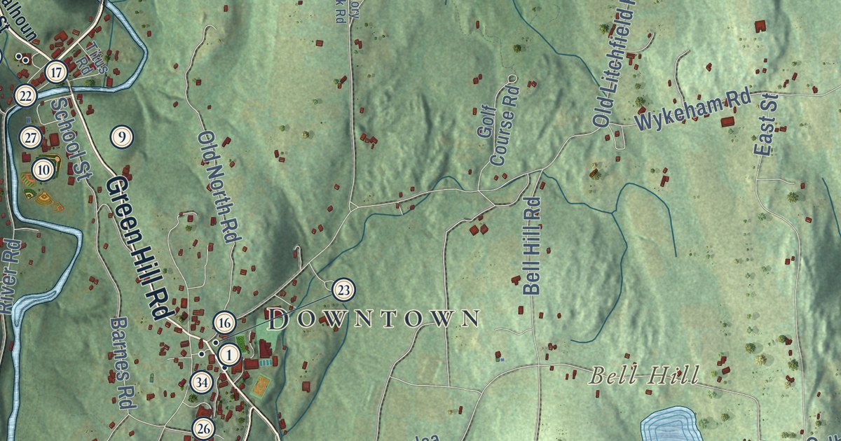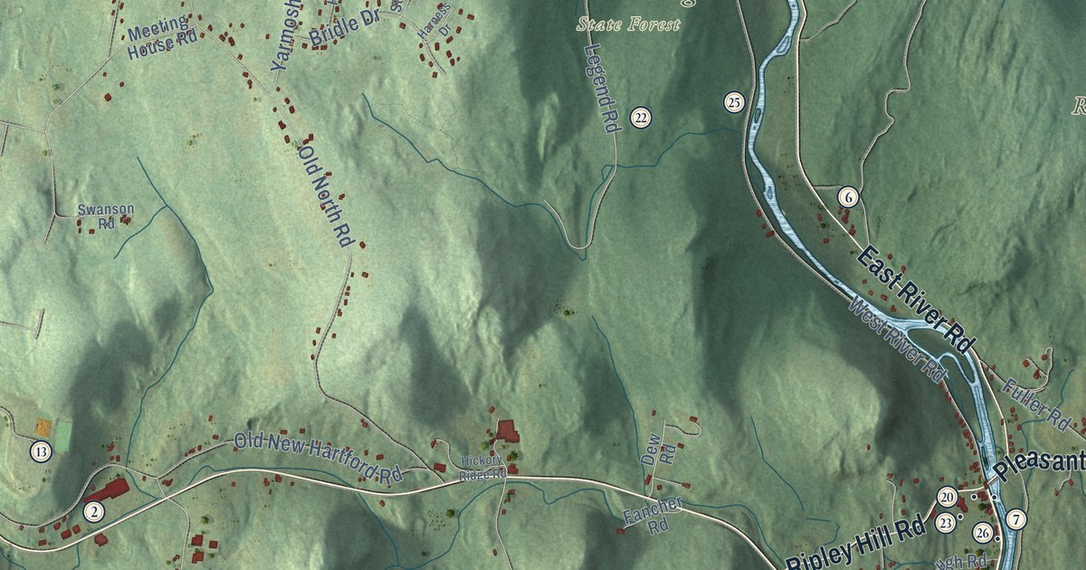
This beautifully detailed map of Barkhamsted, Connecticut was created in 2026 using aerial imagery combined with modern topographical, census, street and landmark data. It’s a one-of-a-kind view of Barkhamsted that combines accurate data with a vintage aesthetic. The map shows every building in its true location, many of the roads carry their names, and the shaded topographic relief shows the shape of the land.
See it on a wall
The Barkhamsted map as an 18 x 24 inch print in a black frame.

Explore an aerial view of Barkhamsted, Connecticut
On the map you’ll find Downtown, Riverton, Holcomb Hill, Pine Mountain, Ragged Mountain, Ratlum Mountain, Lake Mc Donough, Laurel Lake, American Legion State Forest, Camp Workcoeman, Enders State Forest, Peoples State Forest, and more. If you look closely you can even find your house accurately drawn in its correct location. Zoom in on the preview to look for yours. Click here to learn more about the history of Barkhamsted.
Take a closer look at the Barkhamsted map
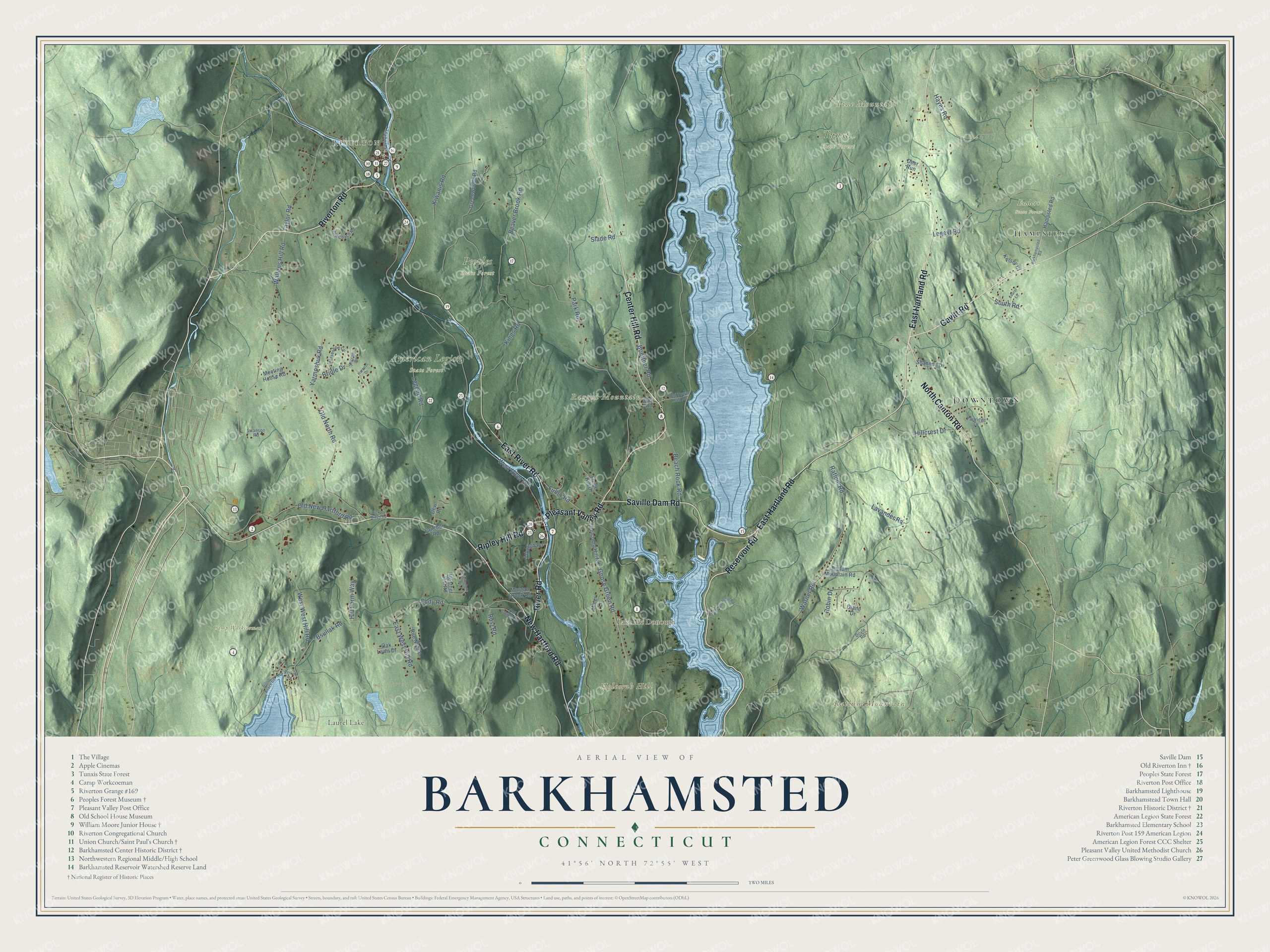
Click to explore a larger preview. The digital watermark does not appear on printed maps.
Names on this map
These names are printed on this map.
Places: Downtown, Riverton, Holcomb Hill, Pine Mountain, Ragged Mountain, Ratlum Mountain, Lake Mc Donough, Laurel Lake, American Legion State Forest, Camp Workcoeman, Enders State Forest, Peoples State Forest, Tunxis State Forest and Hampsted.
Streets and roads: Saville Dam Road, Reservoir Road, Riverton Road, Pleasant Valley Road, River Road, East Hartland Road, New Hartford Road, Gavitt Road, Center Hill Road, East River Road, North Canton Road, Ripley Hill Road.
More street names, A to Z
Albough Road, Barkhampsted Road, Beach Rock Road, Beaver Brook Road, Boettner Road, Bridle Drive, Browns Mountain Road, Bsullak Road, Day Road, Deer Run, Dew Road, Diane Drive, Dillon Beach Road, Doyle Road, East West Hill Road, Eddy Road, Fancher Road, Forge Hill Drive, Fuller Road, Goose Green Road, Greenwoods Road, Hampsted Road, Harness Drive, Hayes Road, Hearthstone Drive, Heather Hill Road, Hickory Ridge Road, Hillcrest Drive, Hill Farm Way, Holcomb Hill Road, Horseshoe Circle, Kelsey Court, Kings Road, Kiwanis Road, Laurel Lane, Lavander Road, Legend Road, Legeyt Road, Meeting House Road, Miner Lane, Morgan Brook Road, Oak Lawn Drive, Old Coach Road, Old County Road, Old New Hartford Road, Old North Road, Old Town Hall Road, Park Road, Partridge Lane, Perkins Road, Ratlum Mountain Road, Ratlum Road, Robin Drive, Rue Nicole, Rust Road, School Street, Shannon Drive, Slade Road, South Road, Stirrup Drive, Swanson Road, Taylor Road, Wallens Hill Road, Warner Road, West River Road, West West Hill Road, Yarmoshuk Road.
This beautifully detailed map of Barkhamsted makes an attractive addition to your office, library, or den, and it can even be used to teach children the geography and history of the area. It also makes a great gift for someone who left Barkhamsted and still calls it home. When you’re done exploring, click here to get your copy of the Barkhamsted map.