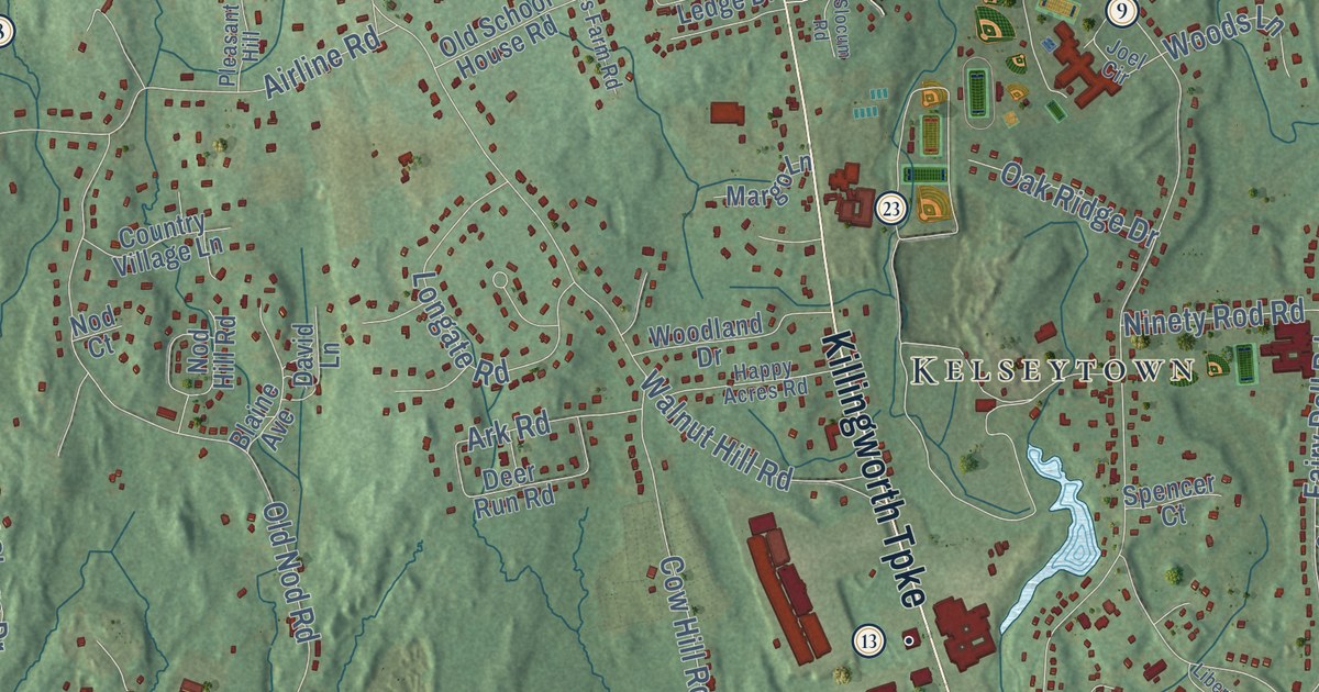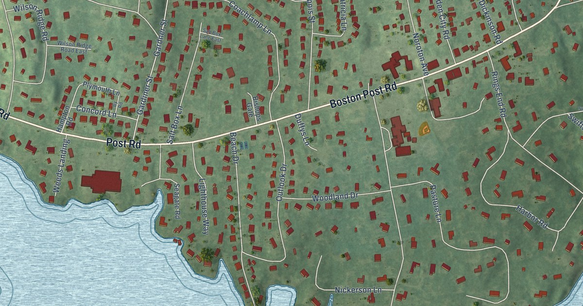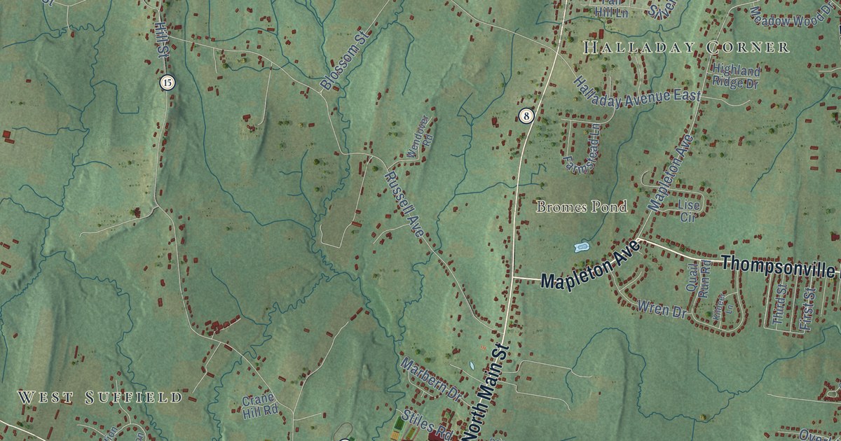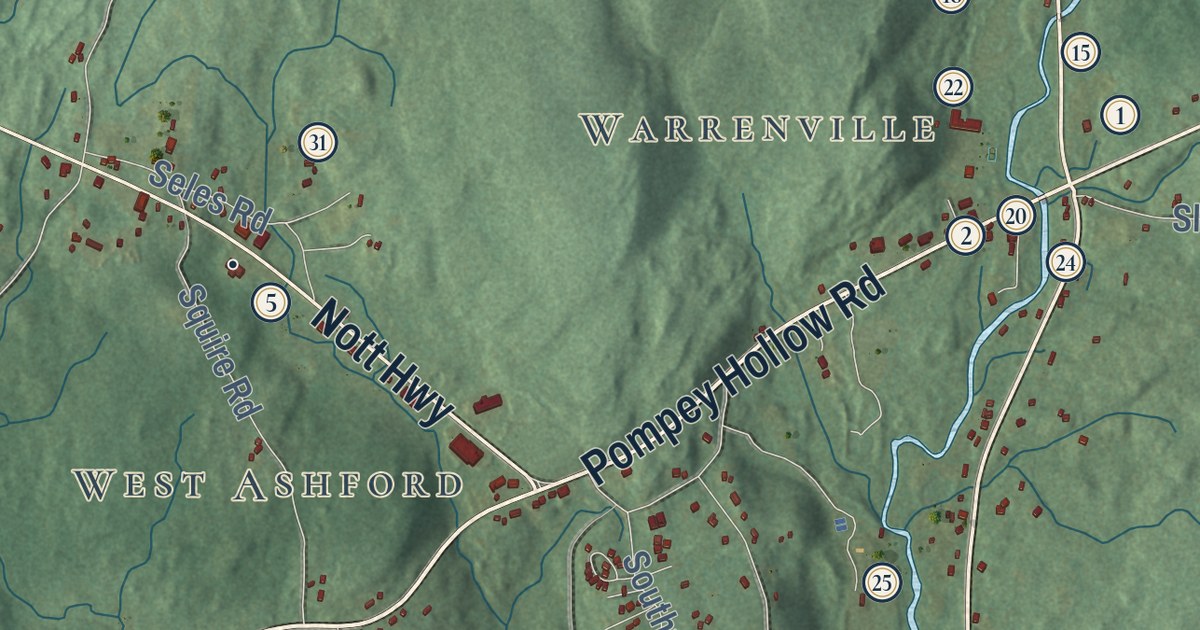
This beautifully detailed map of Ashford, Connecticut was created in 2026 using aerial imagery combined with modern topographical, census, street and landmark data. It’s a one-of-a-kind view of Ashford that combines accurate data with a vintage aesthetic. The map shows every building in its true location, many of the roads carry their names, and the shaded topographic relief shows the shape of the land.
See it on a wall
The Ashford map as an 18 x 24 inch print in a black frame.

Explore an aerial view of Ashford, Connecticut
On the map you’ll find Downtown, Lake Chaffee, West Ashford, Warrenville, Westford, Allen Hill, Boston Hollow, Bucket Hill, Buell Hill, Armitage Pond, Ashford Lake, Langhammer Town Forest, and more. If you look closely you can even find your house accurately drawn in its correct location. Zoom in on the preview to look for yours. Click here to learn more about the history of Ashford.
Take a closer look at the Ashford map
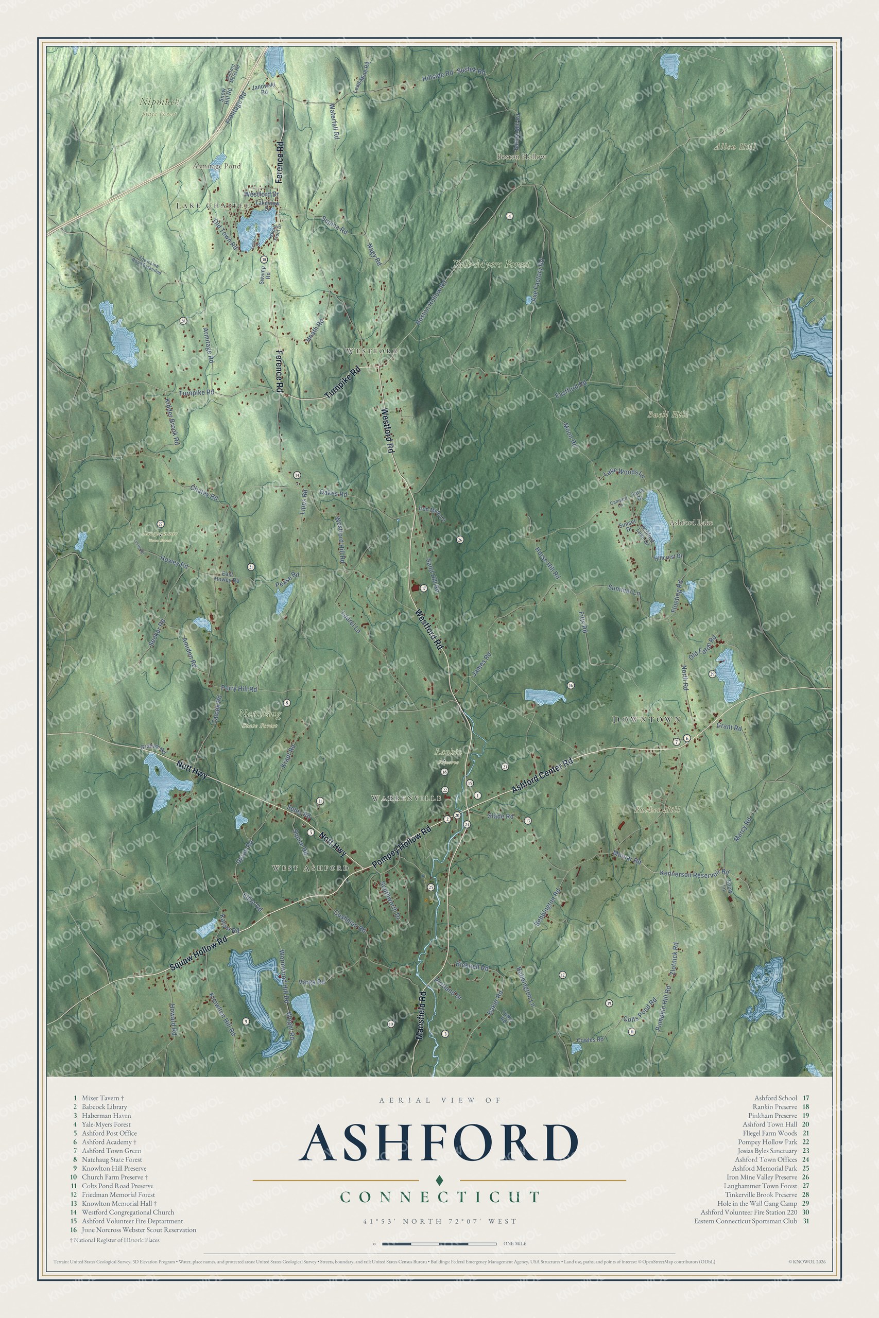
Click to explore a larger preview. The digital watermark does not appear on printed maps.
Names on this map
These names are printed on this map.
Places: Downtown, Lake Chaffee, West Ashford, Warrenville, Westford, Allen Hill, Boston Hollow, Bucket Hill, Buell Hill, Armitage Pond, Ashford Lake, Langhammer Town Forest, Natchaug State Forest, Nipmuck State Forest, Rankin Preserve and Yale-Myers Forest.
Streets and roads: Westford Road, Mansfield Road, Pompey Hollow Road, Turnpike Road, Ference Road, Nott Highway, Ashford Center Road, Boston Hollow Road, Pease Road, Molnar Road, Kennerson Reservoir Road, Elliot Road.
More street names, A to Z
Amidon Drive, Amidon Road, Armitage Road, Ashford Lake Drive, Ashford Motel Road, Axe Factory Road, Baker Road, Barlow Mill Road, Bebbington Lane, Bebbington Road, Bicknell Road, Campert Lane, Chatey Road, Colts Pond Road, Cowles Road, Cushman Road, Eastford Road, East Howey Road, Farm Drive, Fitts Road, Floeting Road, Frontage Road, Graham Road, Grant Road, Hillcrest Drive, Hillside Road, Hnath Road, Horse Hill Road, Howard Road, Howey Road, Iron Mine Lane, James Road, Janowski Road, Karosi Road, Kidder Brook Road, Knowlton Hill Road, Krapf Road, Lakeview Drive, Lake Woods Lane, Laurel Lane, Lead Mine Road, Lipps Road, Lustig Road, Marcy Road, Moon Road, Nagy Road, North Road, Oakes Road, Old Eaton Road, Old Town Road, Perry Hill Road, Portland Drive, Pumpkin Hill Road, Sand Hill Road, Seckar Road, Seles Road, Shore Front Drive, Slade Road, Snow Hill Road, Snow Lane, Southworth Drive, Squire Road, Summer Lane, Sunset Drive, Supina Road, Sustek Road, Swamp Road, Town Line Road Extended, Tutko Road, Upton Road, Varga Road, Waterfall Road, Westford Drive, Westford Hill Road, Wormwood Hill Road, Wright Road, Zaicek Road, Zlotnick Road.
This beautifully detailed map of Ashford makes an attractive addition to your office, library, or den, and it can even be used to teach children the geography and history of the area. It also makes a great gift for someone who left Ashford and still calls it home. When you’re done exploring, click here to get your copy of the Ashford map.