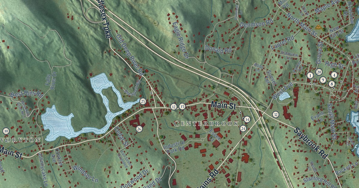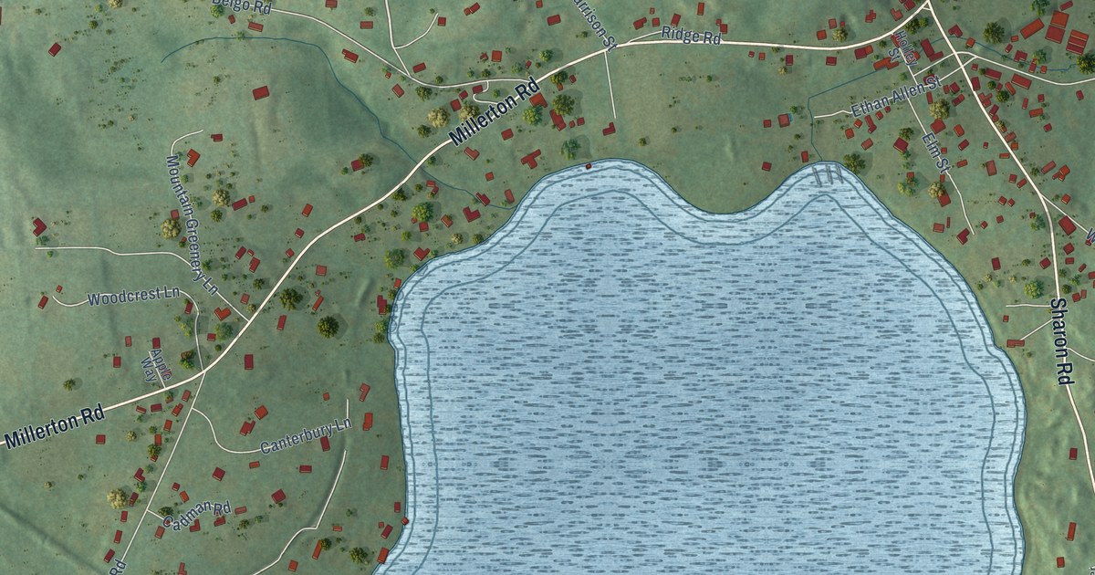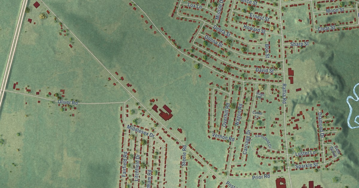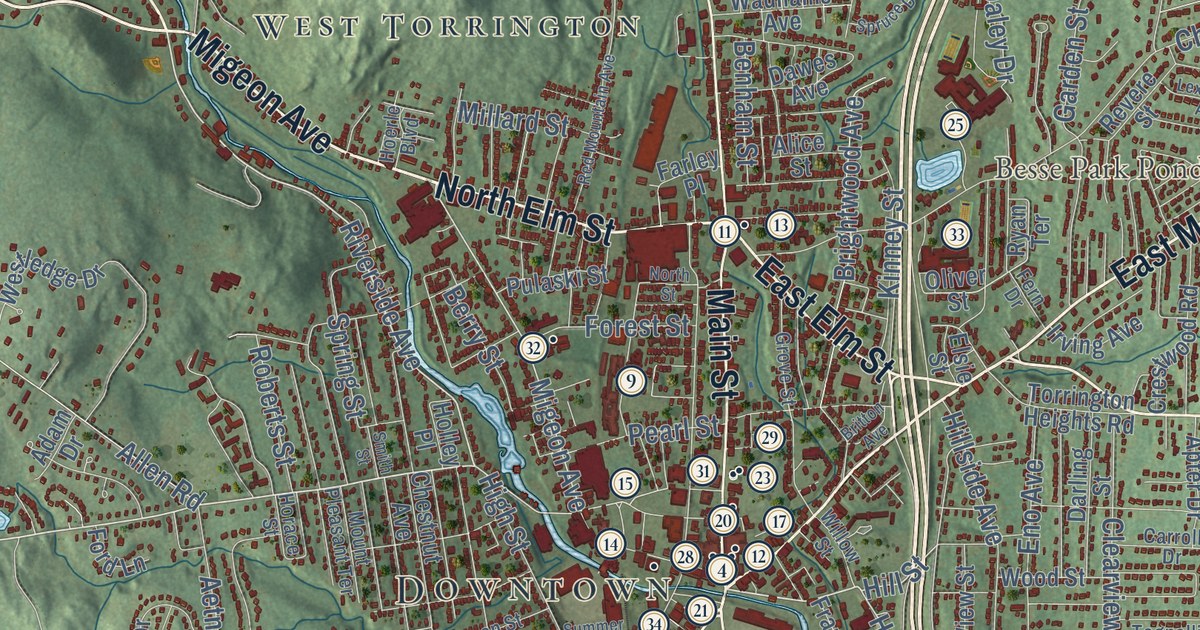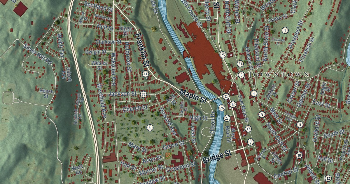
This beautifully detailed map of Ansonia, Connecticut was created in 2026 using aerial imagery combined with modern topographical, census, street and landmark data. It’s a one-of-a-kind view of Ansonia that combines accurate data with a vintage aesthetic. The map shows every building in its true location, many of the roads carry their names, and the shaded topographic relief shows the shape of the land.
See it on a wall
The Ansonia map as an 18 x 24 inch print in a black frame.

Explore an aerial view of Ansonia, Connecticut
On the map you’ll find Downtown, Derby Hill, Ansonia Reservoir, Coe Pond, Ansonia Nature and Recreation Center, Naugatuck State Forest, and Nolan Field, along with Pulaski Highway, Pershing Drive, Wakelee Avenue, Franklin Street, Great Hill Road, and more. If you look closely you can even find your house accurately drawn in its correct location. Zoom in on the preview to look for yours. Click here to learn more about the history of Ansonia.
Take a closer look at the Ansonia map
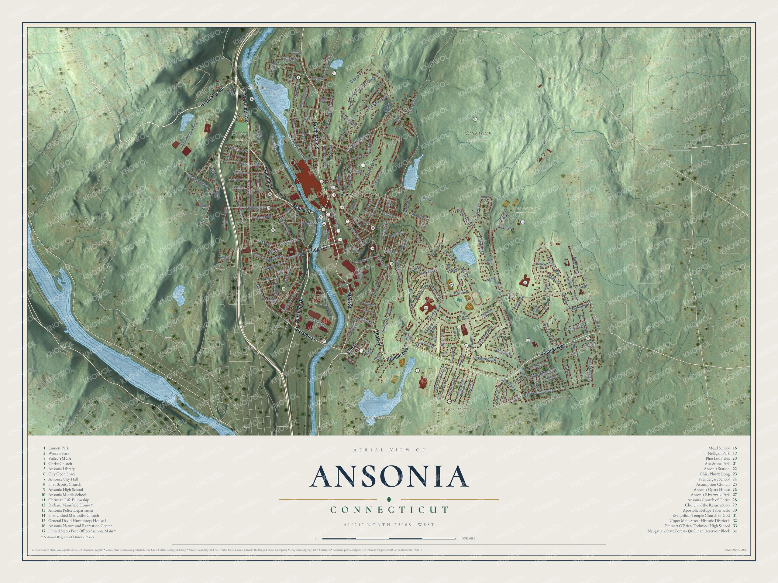
Click to explore a larger preview. The digital watermark does not appear on printed maps.
Names on this map
These names are printed on this map.
Places: Downtown, Derby Hill, Ansonia Reservoir, Coe Pond, Ansonia Nature and Recreation Center, Naugatuck State Forest and Nolan Field.
Streets and roads: Pulaski Highway, Pershing Drive, Wakelee Avenue, Franklin Street, Great Hill Road, Prindle Avenue, Platt Street, Division Street, Bridge Street, Main Street, North Main Street, Elm Street.
More street names, A to Z
Adam Street, Adanti Avenue, Alan Drive, Arbor Terrace, Arch Street, Arlene Drive, Avon Street, Bartholomew Avenue, Bassett Street, Beaver Street, Beech Street, Beechwood Drive, Bennett Terrace, Benz Street, Berkshire Road, Beverly Drive, Birchwood Drive, Birmingham Boulevard, Bruns Road, Burke Street, Buswell Street, Byron Avenue, Caroline Street, Cascio Road, Castle Lane, Catalina Drive, Central Street, Chester Street, Chestnut Street, Church Street, Clarkson Street, Clark Street, Clifford Drive, Clifton Avenue, Clover Street, Coe Lane, Colony Road, Columbia Street, Condon Drive, Cottage Avenue, Crescent Street, Crestwood Road, Crowley Street, Davies Court, Davis Court, Deerfield Road, Dempsey Court, Dorel Terrace, Doyle Drive, Dwight Street, Eagle Street, East Main Street, East Street, Edgehill Road, Elaine Drive, Elizabeth Street, Elliott Road, Ells Street, Fairview Street, Farrell Drive, Father Salemi Drive, Fifth Street, Finney Street, Finney Street Extended, Fitzpatrick Drive, Ford Road, Ford Street, Forest Avenue, Francis Street, Friars Drive, Garden Street, Glen Drive, Glen Ridge Drive, Golden Rod Drive, Granite Terrace, Greenfield Drive, Grove Street, Hale Drive, Hallihan Lane, Hall Street, Harris Road, Hawley Drive, Hemlock Drive, Hershey Drive, Hickory Lane, High Acres Road, Highland Avenue, High Street, Hill Street, Hodge Avenue, Hodio Drive, Hoinski Way, Holbrook Street, Howard Avenue, Hubbell Avenue, Hughes Circle, Hull Street, Hunters Lane, Jackson Street, James Street, Jarvis Drive, Jason Wright Drive, Jewett Street, Johnson Street, John Street, Judson Place, Kathy Lane, Kiely Lane, Kimberly Avenue, Kimberly Lane, Krueger Court, Lester Street, Liberty Street, Lindgren Terrace, Locke Street, Lopresti Court, Maple Street, Marshall Lane, Martin Terrace, Mary Street, May Street, Meade Circle, Meadow Street, Menna Road, Michael Street, Milan Street, Morningside Drive, Mott Street, Mountain View Road, Murray Street, Nancy Road, Nichols Street, North Cliff Street, North Coe Lane, North Division Street, North Fourth Street, North Prospect Street, North Prospect Street Extended, North State Street, North Westwood Road, Olson Drive, Orchard Street, Page Street, Park Place, Pinecrest Avenue, Pin Oak Lane, Pleasant Street, Pond Drive, Prospect Street, Reichelt Terrace, Remer Street, Reservoir Drive, Rev Taylor Drive, Riggs Street, Riverside Drive, Rockwood Avenue, Roosevelt Drive, Rose Hill Avenue, Round Tree Drive, Rufus Street, Schumacher Drive, Scotland Street, Sharyl Drive, Sheasby Road, Shortell Drive, Silver Hill Road, Smith Street, Sobin Drive, South Cliff Street, South Street, Spring Street, Star Street, Sunset Drive, Toro Lane, Tremont Street, Underhill Road, Upland Terrace, Velms Drive, Vine Street, Webb Terrace, Webster Drive, Wesley Street, Westfield Avenue, West Main Street, West Road, White Oak Road, Willow Street, Winter Street, Woodbridge Avenue, Woodlawn Avenue.
This beautifully detailed map of Ansonia makes an attractive addition to your office, library, or den, and it can even be used to teach children the geography and history of the area. It also makes a great gift for anyone with Ansonia roots. When you’re done exploring, click here to get your copy of the Ansonia map.