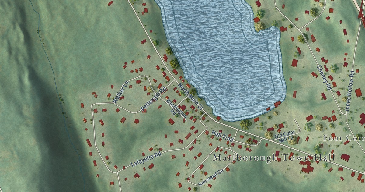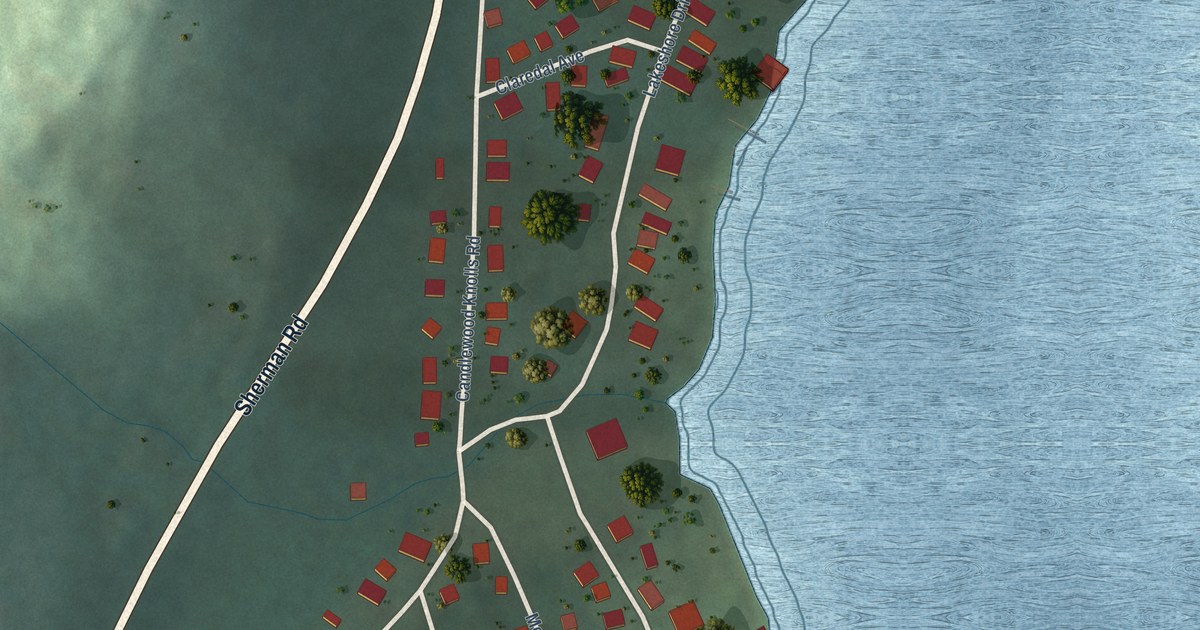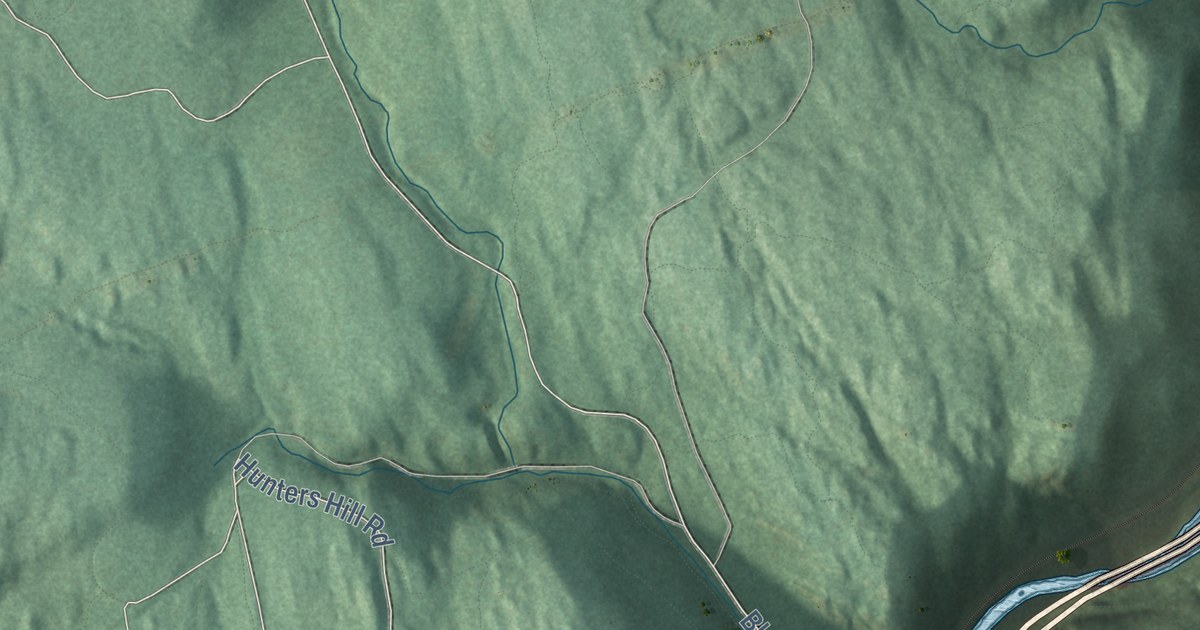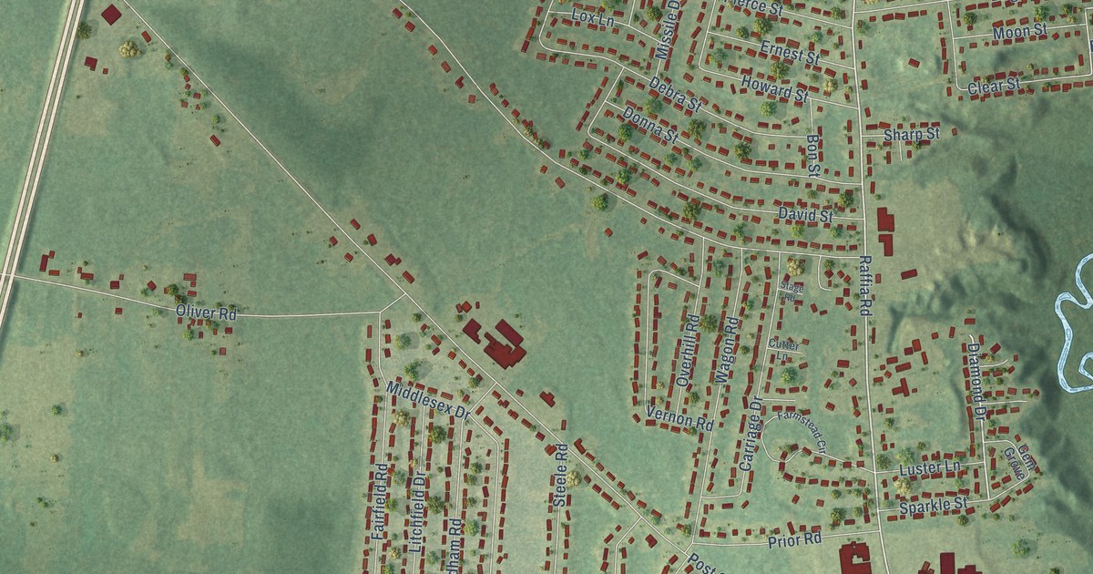
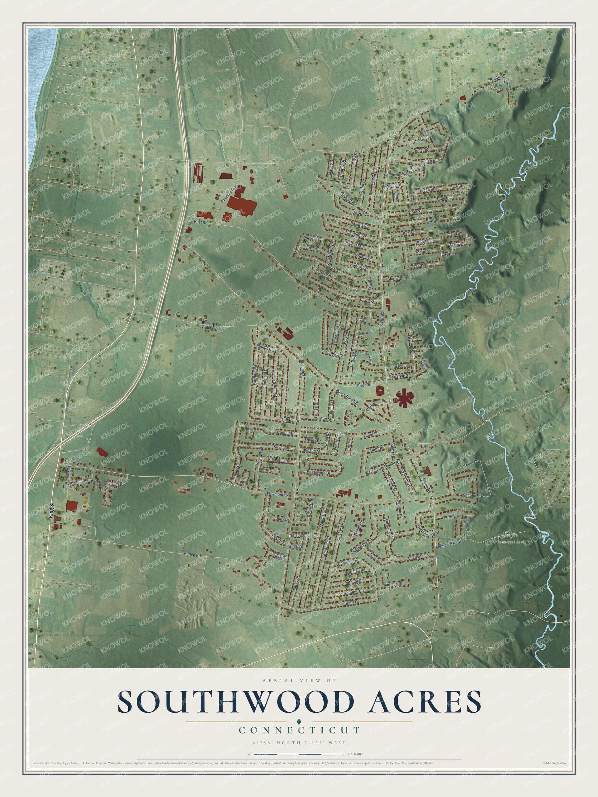
This beautifully detailed map of Southwood Acres, Connecticut was created in 2026 using aerial imagery combined with modern topographical, census, street and landmark data. It's a modern aerial view of Southwood Acres in Capitol Planning Region, Connecticut, that combines modern data with a vintage aesthetic. The roads feature printed names, and if you look closely you can find your exact house accurately shown in its correct location.
Explore an aerial view of Southwood Acres, Connecticut
On this map you'll find Royce Memorial Park, King Street, Raffia Road, Simon Road, Diamond Drive, Hudson Street, Light Street, Post Office Road, Weymouth Road, South Road, Steele Road, Mullen Road, and more. Each red shape is a building, so zoom in on the preview and look for yours.
Southwood Acres is a community in Capitol Planning Region. The Census Bureau counted 7,879 people here in 2020. Southwood Acres sits about 3 miles southeast of Thompsonville, 3 miles southwest of Hazardville and 4 miles northwest of Broad Brook. The map prints the town name in its title panel, with the coordinates below it.
Take a closer look at the Southwood Acres map
Names on this map
These names are printed on this map.
Places: Royce Memorial Park and Memorial Park.
Streets and roads: King Street, Raffia Road, Simon Road, Diamond Drive, Hudson Street, Light Street, Post Office Road, Weymouth Road, South Road, Steele Road, Mullen Road, Post Road.
More street names, A to Z
Adams Road, Alaimo Drive, Ann Street, Arrow Street, Autumn Drive, Barrett Road, Bass Drive, Belinda Lane, Bess Road, Bon Street, Boyle Drive, Brentwood Drive, Briarwood Drive, Bright Street, Burnham Street, Carriage Drive, Carriage House, Celtic Court, Chief Street, Clear Street, Cloud Street, Colonial Drive, Conlin Drive, Copper Drive, Cora Street, Cutter Lane, Dale Road, Daro Drive, David Street, Debra Street, Deepwood Road, Deerfield Circle, Donna Street, Duff Drive, Dune Road, Duprey Drive, Eastgate Lane, Edgewood Drive, Eds Drive, Elizabeth Street, Elmore Road, Ernest Street, Fairfield Road, Farmstead Circle, Gem Grove, Guild Street, Haynes Street, Hickory Lane, Howard Street, Indian Run, Iroquois Road, Judy Drive, Kelly Drive, Litchfield Drive, Locke Drive, Lois Lane, Louise Drive, Lovely Drive, Lox Lane, Luster Lane, Madison Road, Marshall Road, Meadow Road, Middlesex Drive, Missile Drive, Moon Street, Nelson Drive, Oakridge Street, Oliver Road, Overhill Road, Palm Road, Parky Drive, Patricia Circle, Patriot Circle, Peggy Lane, Pheasant Hill Drive, Phoenix Avenue, Pierce Street, Pilgrim Circle, Pinewood Lane, Pioneer Drive, Plainfield Street, Play Road, Prior Road, Putnam Drive, Quaker Lane, Queen Street, Rim Street, Roberts Road, Rocket Run, Rockland Drive, Rosanne Street, Shaft Drive, Shannon Drive, Sharp Street, Sidor Drive, Silver Lane, Sky Street, Sparkle Street, Stage Road, Standish Street, Sun Street, Theodore Street, Tie Street, Tolland Drive, Vernon Road, Vintner Place, Wagon Road, Welch Drive, Weymouth Drive, Weymouth School Road, Wilstar Circle, Windham Road, Windmill Road, Wynwood Drive.
See it on a wall
The Southwood Acres map as a framed print. Swipe for more.


Created by KNOWOL in 2026. The buildings are small red shapes, the roads carry their printed names, and shaded relief shows the shape of the land. The title panel reads "AERIAL VIEW OF SOUTHWOOD ACRES, CONNECTICUT" with 41°58' NORTH 72°35' WEST.
It suits a den, a classroom or a front hall, and it makes a gift for anyone with Southwood Acres roots. Open the preview and find the block you know. See sizes and frames for the Southwood Acres map.