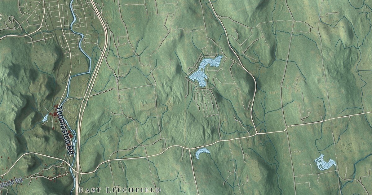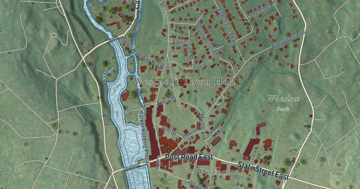
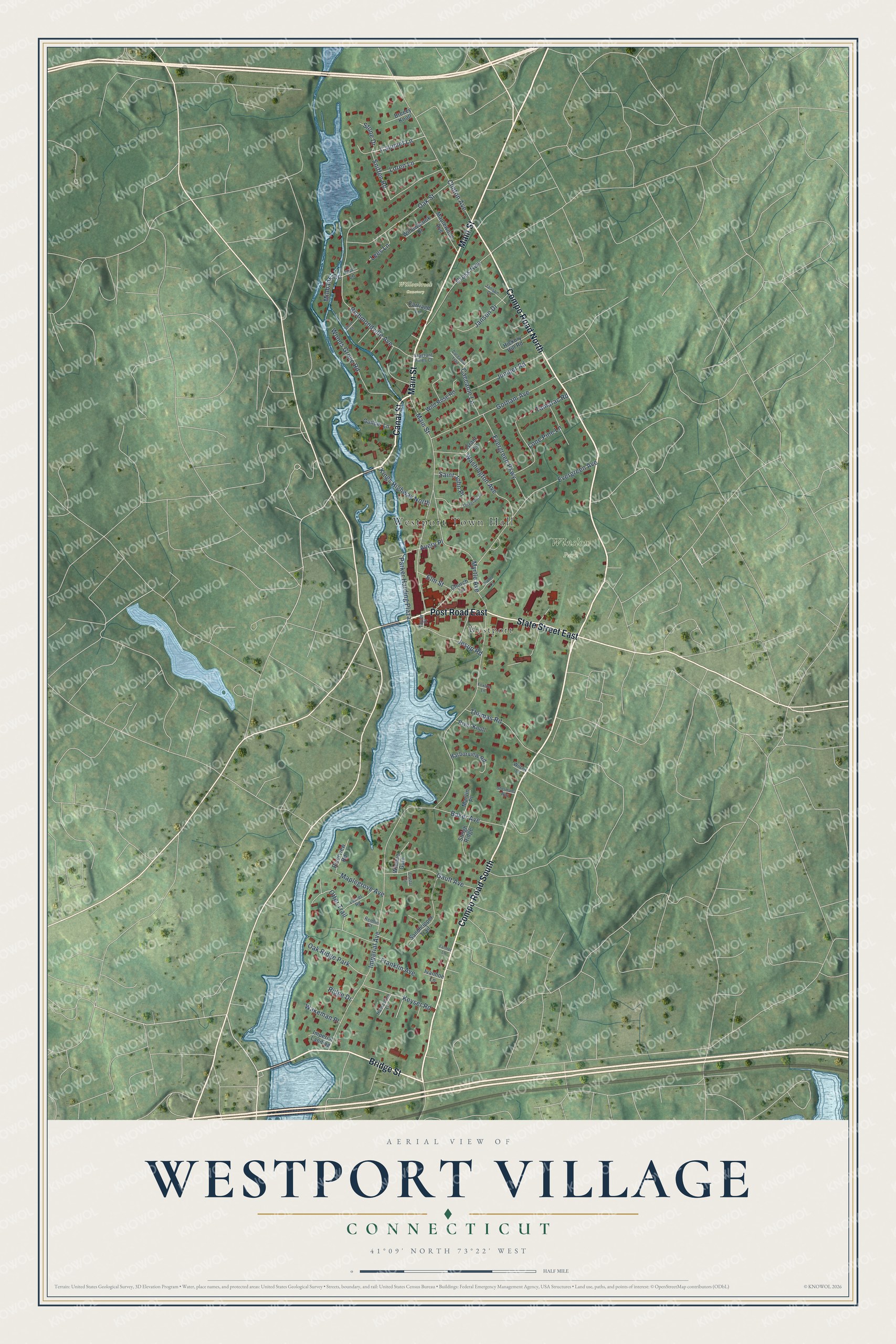
This beautifully detailed map of Westport Village, Connecticut was created in 2026 using aerial imagery combined with modern topographical, census, street and landmark data. It's a modern aerial view of Westport Village in Western Connecticut Planning Region, Connecticut, that combines modern data with a vintage aesthetic. The roads feature printed names, and if you look closely you can find your exact house accurately shown in its correct location.
Explore an aerial view of Westport Village, Connecticut
On this map you'll find Westport Town Hall, Willowbrook Cemetery, Winslow Park, Westport, Compo Road South, Main Street, Bridge Street, Canal Street, Post Road East, State Street East, Compo Road North, Otter Trail, and more. Each red shape is a building, so zoom in on the preview and look for yours.
Westport Village is a community in Western Connecticut Planning Region. The Census Bureau counted 3,251 people here in 2020. Westport Village sits about 2 miles southwest of Staples, 2 miles southeast of Poplar Plains and 2 miles north of Saugatuck. The map prints the town name in its title panel, with the coordinates below it.
Take a closer look at the Westport Village map
Names on this map
These names are printed on this map.
Places: Westport Town Hall, Willowbrook Cemetery, Winslow Park, Westport and Oak Ridge Park.
Streets and roads: Compo Road South, Main Street, Bridge Street, Canal Street, Post Road East, State Street East, Compo Road North, Otter Trail, Calumet Lane, Parker Harding Plaza, Imperial Avenue, Richmondville Avenue.
More street names, A to Z
Avery Place, Baker Avenue, Breezy Knoll, Caccamo Lane, Caccamo Trail, Carriage Lane, Church Lane, Clinton Avenue, Cross Highway, Crystal Circle, Elm Street, Evergreen Avenue, Evergreen Parkway, Farmer Lane, Foxfire Lane, Fragrant Pines Court, Franklin Avenue, Gault Avenue, Gorham Avenue, Grant Lane, Guilder Lane, Harborview Road, Hickory Hill Road, Horseshoe Lane, Imperial Landing, Ivanhoe Lane, Izzo Lane, Janson Court, Janson Drive, Jesup Road, Juniper Road, Keyser Road, Kings Highway North, Laurel Road, Lees Lane, Lone Pine Lane, Loren Lane, Maplegrove Avenue, Maplewood Avenue, Marvin Place, Millbank Road, Myrtle Avenue, Oak Street, Remlin Court, Ridge Drive, River Knoll, Riverview Road, Saint John Place, Sandhopper Trail, Shermans Way, Short Street, Sleigh Ridge, Sniffen Road, Stone Drive, Tamarac Road, Taylor Place, Teregram Place, Thomas Road, Violet Lane, Wakeman Place, Washington Avenue, Wheeler Gate, Wilcox Lane, Wild Rose Road, Willowbrook Drive, Woods Grove Road.
See it on a wall
The Westport Village map as a framed print. Swipe for more.


Created by KNOWOL in 2026. The buildings are small red shapes, the roads carry their printed names, and shaded relief shows the shape of the land. The title panel reads "AERIAL VIEW OF WESTPORT VILLAGE, CONNECTICUT" with 41°09' NORTH 73°22' WEST.
It looks right in a kitchen, an office or a den, and it's a gift for anyone who grew up in Westport Village or moved away. Open the preview and find your street. See sizes and frames for the Westport Village map.