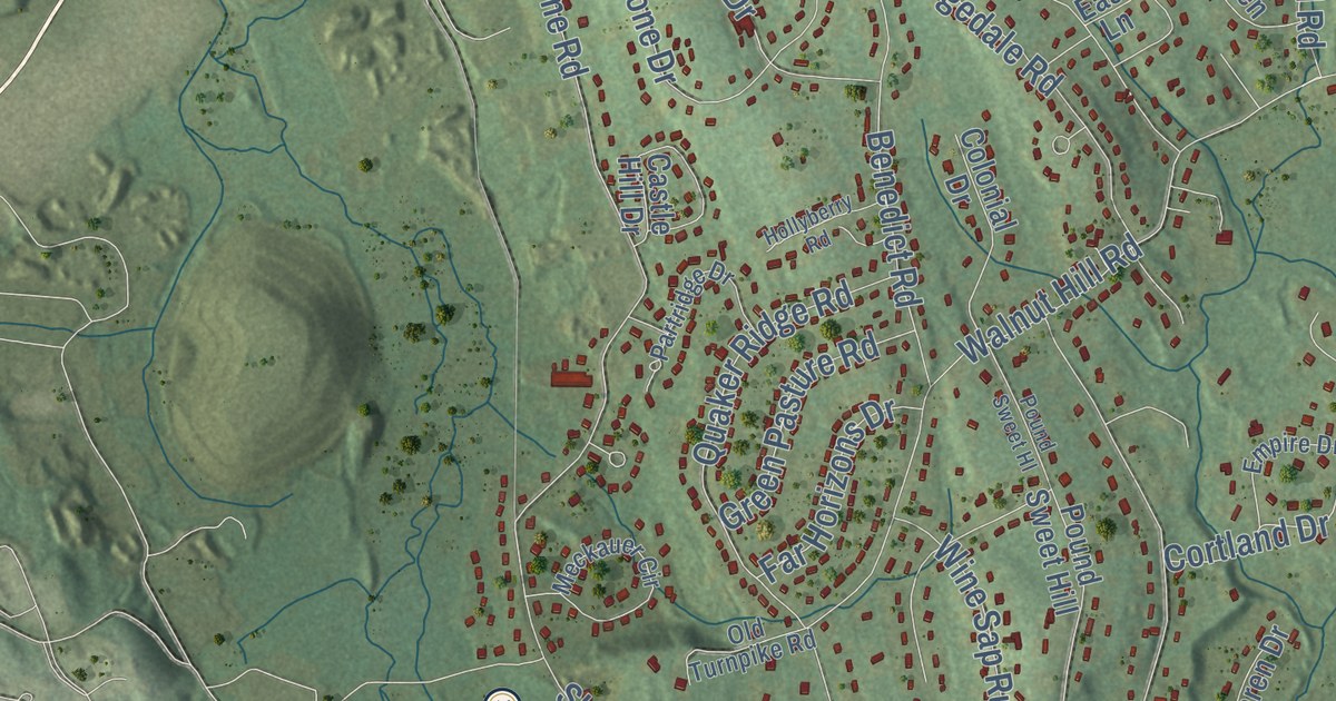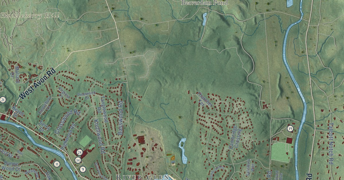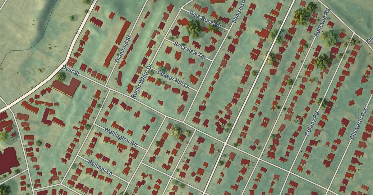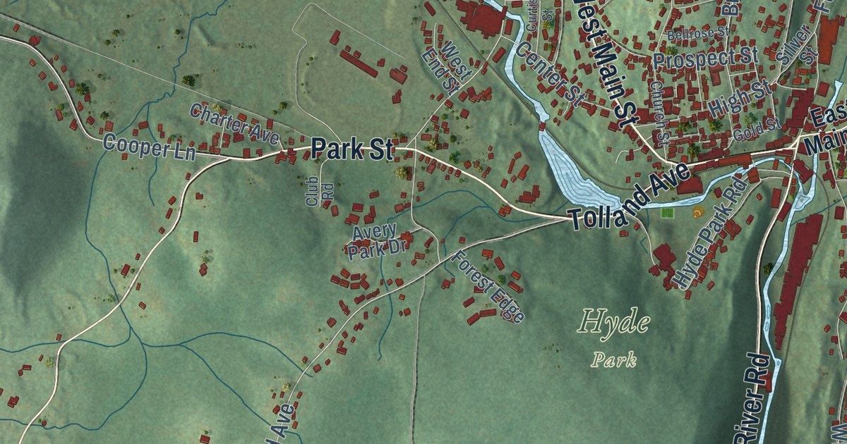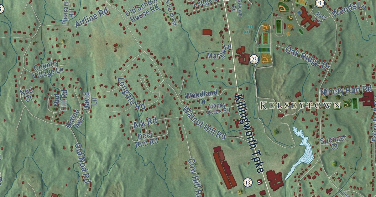
This beautifully detailed map of Clinton, Connecticut was created in 2026 using aerial imagery combined with modern topographical, census, street and landmark data. It’s a one-of-a-kind view of Clinton that combines accurate data with a vintage aesthetic. The map shows every building in its true location, many of the roads carry their names, and the shaded topographic relief shows the shape of the land.
See it on a wall
The Clinton map as an 18 x 24 inch print in a black frame.

Explore an aerial view of Clinton, Connecticut
On the map you’ll find Downtown, Duck Island Roads, Ridgewood, Clinton Beach, Camp Hill, Cedar Island, Cedar Knoll, Cow Hill, Boulder Lake, Bushy Pond, Cockaponset State Forest, Kelseytown, and more. If you look closely you can even find your house accurately drawn in its correct location. Zoom in on the preview to look for yours. Click here to learn more about the history of Clinton.
Take a closer look at the Clinton map
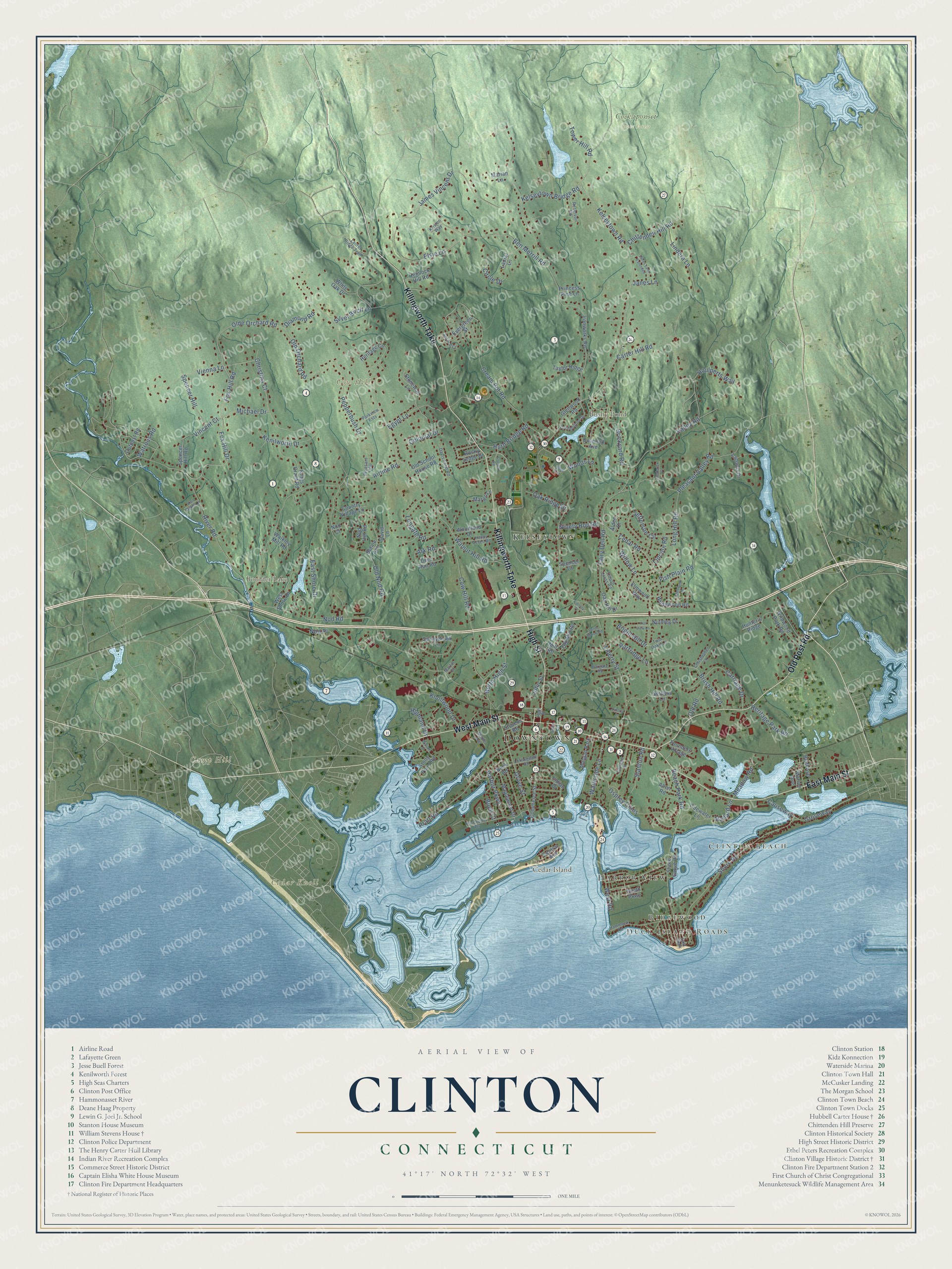
Click to explore a larger preview. The digital watermark does not appear on printed maps.
Names on this map
These names are printed on this map.
Places: Downtown, Duck Island Roads, Ridgewood, Clinton Beach, Camp Hill, Cedar Island, Cedar Knoll, Cow Hill, Boulder Lake, Bushy Pond, Cockaponset State Forest, Kelseytown, Harbor View and Morgan Park.
Streets and roads: High Street, Killingworth Turnpike, East Main Street, West Main Street, Old Post Road, Groveway, Shore Road, Kelseytown Road, James Vincent Drive, Kelseytown Bridge Road, Causeway, Ben Merrill Road.
More street names, A to Z
Airline Road, Alden Drive, Allen Road, Ark Road, Bargate Road, Beach Park Road, Blaine Avenue, Bluff Avenue, Brickyard Road, Bright Hill Drive, Brush Hill Road, Buell Court, Carriage Drive, Carter Hill Road, Cedar Road, Central Avenue, Chittenden Hill Road, Christina Court, Christopher Lane, Circle Drive, College Street, Colonial Drive, Commerce Street, Country Village Lane, Cow Hill Road, Cream Pot Road, David Lane, Davis Farm Road, Deer Run Road, Delwood Avenue, Diamond Road, East Shore Drive, East Walk, Egypt Lane, Elmwood Way, Elsie Lane, Evergreen Street, Fairy Dell Road, Fish Plain Road, Founders Village, Fox Hill Drive, Fox Hill Road, Frederick Place, Glenwood Road, Grove Street, Hammock Road, Happy Acres Road, Harbor Parkway, Hemlock Hill Road, Heritage Circle, Heritage Park Road, Highland Drive, Hill View Lane, Houlperts Way, Hunter's Ridge, Hurd Bridge Road, Indian Drive, Ironworks Road, Janes Lane, Janes Lane Extended, Jefferson Circle, Joel Circle, John Street, Kenilworth Drive, Kings Grant Road, Knollwood Drive, Kristen Way, Laconia Drive, Laurel Lane, Laurel Ridge Trail, Leffingwell Road, Liberty Lane, Liberty Place, Liberty Street, Lincoln Road, Lindera Lane, Lochbourne Drive, Longate Road, Long Hill Road, Mallard Lane, Maple Avenue, Maplewood Drive, Margo Lane, Marian Lane, Marine Avenue, Martin Drive, Meadow Road, Michael Drive, Mill Road, Neck Road, Ninety Rod Road, Nod Court, Nod Hill Road, Nod Place, Nod Road, North High Street, Nutmeg Drive, Oak Hill Drive, Oak Ridge Drive, Olde Orchard Road, Old Mill Road, Old Nod Road, Old Orchard Road, Old Road, Old School House Road, Osprey Cmns, Outpost Road, Parkview Ests, Partridge Lane, Pepperbush Drive, Pleasant Hill, Pleasant Valley Road, Pratt Road, Princess Pine Lane, Reservoir Road, River Road, Riverside Drive, Rocky Ledge Drive, Sandy Brook Road, Settlers Lane, Shore Grove Road, Silver Birch Lane, Slocum Road, Snow Lane, South Parkway, Spencer Court, Spencer Hill, Spencer Hill Road, Spruce Court, Stanton Road, Stevens Road, Stonewall Lane, Stony Point Road, Sunnybrook Lane, Tamarack Drive, Taylor Ridge, Thrush Cross Road, Tidewater Lane, Tower Hill Road, Twin Oaks Lane, Valley Road, Van Dyke Lane, Vienna Lane, Vincent Court, Walkley Mill Road, Walnut Hill Road, Waterside Lane, Watrous Road, West Road, West Shore Drive, White Oak Drive, Whitewood Road, Wildwood Park Road, William Street, Willow Lane, Woodland Drive, Woods Lane.
This beautifully detailed map of Clinton makes an attractive addition to your office, library, or den, and it can even be used to teach children the geography and history of the area. It also makes a great gift for anyone who grew up in Clinton or moved away. When you’re done exploring, click here to get your copy of the Clinton map.