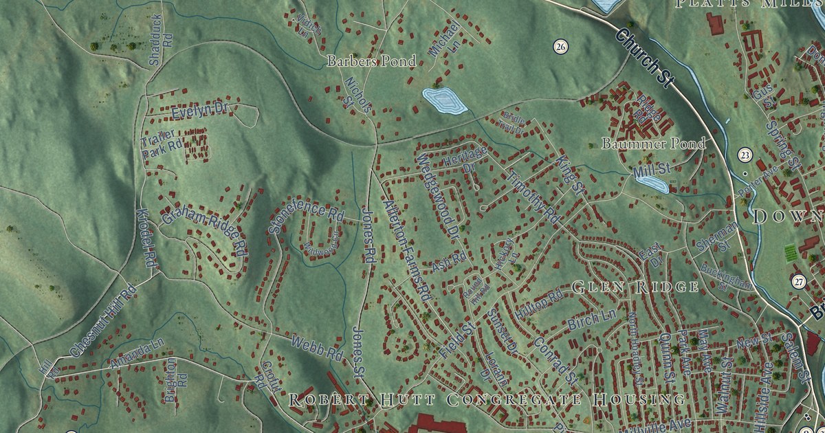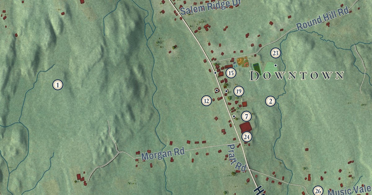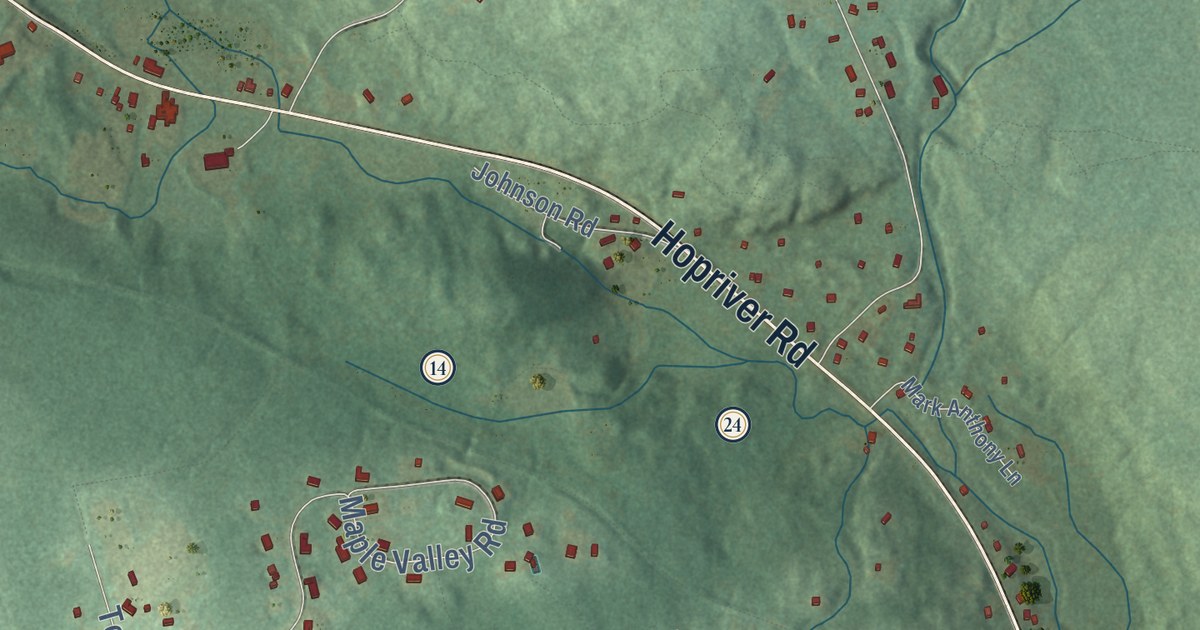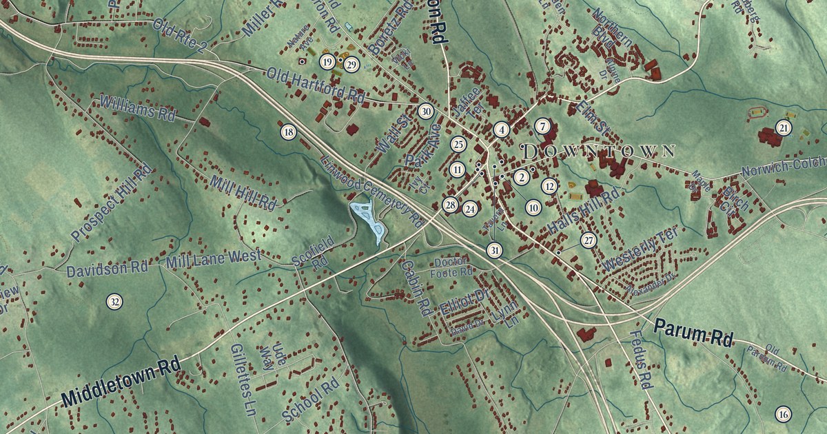
This beautifully detailed map of Colchester, Connecticut was created in 2026 using aerial imagery combined with modern topographical, census, street and landmark data. It’s a one-of-a-kind view of Colchester that combines accurate data with a vintage aesthetic. The map shows every building in its true location, many of the roads carry their names, and the shaded topographic relief shows the shape of the land.
See it on a wall
The Colchester map as an 18 x 24 inch print in a black frame.

Explore an aerial view of Colchester, Connecticut
On the map you’ll find Downtown, Westchester, North Westchester, Buckley Hill, Bull Hill, Chalker Hill, Goshen Hill, Babcock Pond, and Cone Pond, along with Middletown Road, New London Road, Lebanon Avenue, and more. If you look closely you can even find your house accurately drawn in its correct location. Zoom in on the preview to look for yours. Click here to learn more about the history of Colchester.
Take a closer look at the Colchester map
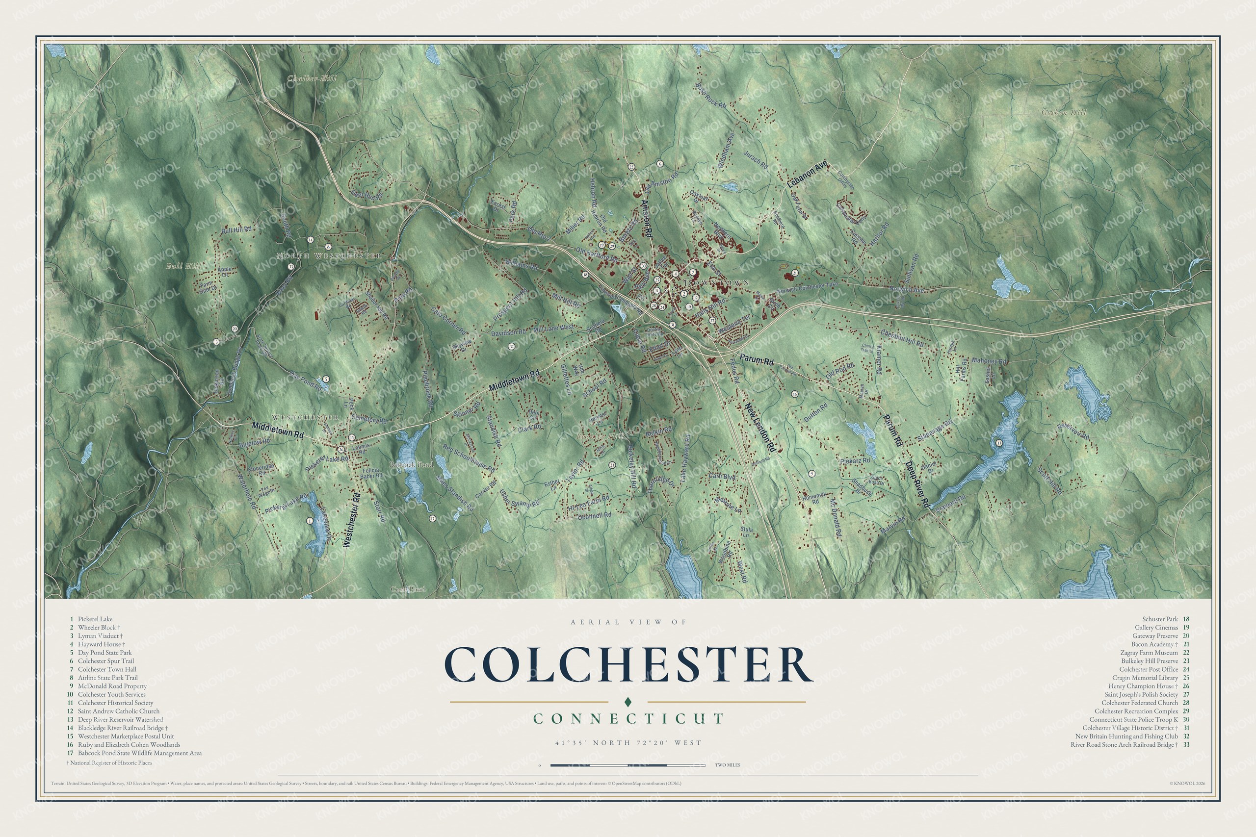
Click to explore a larger preview. The digital watermark does not appear on printed maps.
Names on this map
These names are printed on this map.
Places: Downtown, Westchester, North Westchester, Buckley Hill, Bull Hill, Chalker Hill, Goshen Hill, Babcock Pond and Cone Pond.
Streets and roads: Middletown Road, New London Road, Lebanon Avenue, Parum Road, Amston Road, Deep River Road, Westchester Road, Stanavage Road, Mahoney Road, Oconnell Road, Old Hartford Road, Bulkeley Hill Road.
More street names, A to Z
Alexander Drive, Alfred Drive, Alpine Drive, Antioch Road, Apple Lane, Bigelow Road, Birch Circle, Boretz Road, Boulder Road, Brainard Road, Brookstone Drive, Bull Hill Road, Bush Rock Road, Cabin Road, Caisson Road, Cardinal Road, Carli Boulevard, Carrier Road, Cato Corner Road, Caverly Mill Road, Cemetery Road, Cherry Tree Lane, Chestnut Hill Road, Cirillo Drive, Clark Road, Colchester Cmns, Colchester Conv, Comstock Bridge Road, Daniel Drive, David Drive, Davidson Road, Day Pond Road, Debi Circle, Deer Run Road, Dickinson Road, Doctor Foote Road, Dutton Road, Elliot Drive, Elm Street, Esther Lane, Farm Gate Drive, Fedus Road, Felicia Baber Road, Forest Drive, Fox Ridge Drive, Gillettes Lane, Goldberg Road, Halls Hill Road, Harbor Road, Harvest Lane, Heatherwood Drive, Hebron Road, Hi-Lea Farm Road, Hill Farms Road, Homonick Road, Ivy Court, Jaffee Terrace, Jolin Lane, Joseph Lane, Jurach Road, Kramer Road, Lake Hayward Road, Lakeview Drive, Linwood Cemetery Road, Loomis Road, Lynn Lane, Maclyn Drive, Maple Drive, Marvin Road, Mc Donald Road, Melanie Lane, Miles Standish Road, Miller Road, Mill Hill Road, Mill Lane West, Nature Avenue, Nelkin Road, Northern Boulevard, Norwich-Colchester Turnpike, Norwich Avenue, Nutmeg Circle, Oak Farm Drive, Oakleaf Drive, Old Amston Road, Old Hebron Road, Old Parnum Road, Old Rod Road, Old Route 2, Park Avenue, Park Road, Peck Lane, Pickeral Lake Road, Pickerel Lake Road, Piekarz Road, Pinebrook Road, Pine Road, Prospect Hill Road, Red Schoolhouse Road, Reservoir Road, River Road, Robin Road, Rudden Lane, Sashel Lane, School Road, Scofield Road, Scott Hill Road, Shadbush Drive, Shailor Hill Road, Skinner Road, Skyview Drive, South Road, Spice Bush Drive, Standish Road, Starr Road, State Service Road 429, Stoneridge Road, Stula Lane, Sullivan Road, Tavern Lane, Taylor Road, Thornridge Drive, Ude Way, Usher Swamp Road, Vicki Lane, Victoria Drive, Wall Street, Waterhole Road, Westerly Terrace, West Road, Williams Road, Windham Avenue, Woodbine Road.
This beautifully detailed map of Colchester makes an attractive addition to your office, library, or den, and it can even be used to teach children the geography and history of the area. It also makes a great gift for someone who left Colchester and still calls it home. When you’re done exploring, click here to get your copy of the Colchester map.