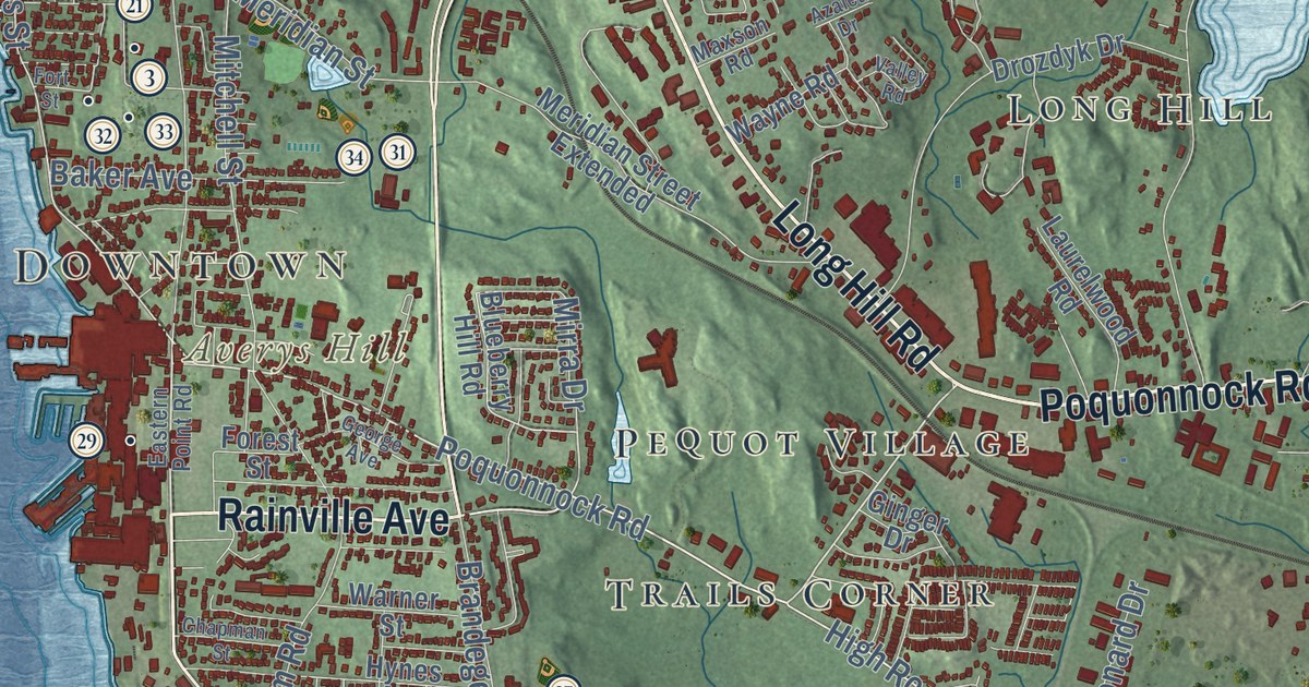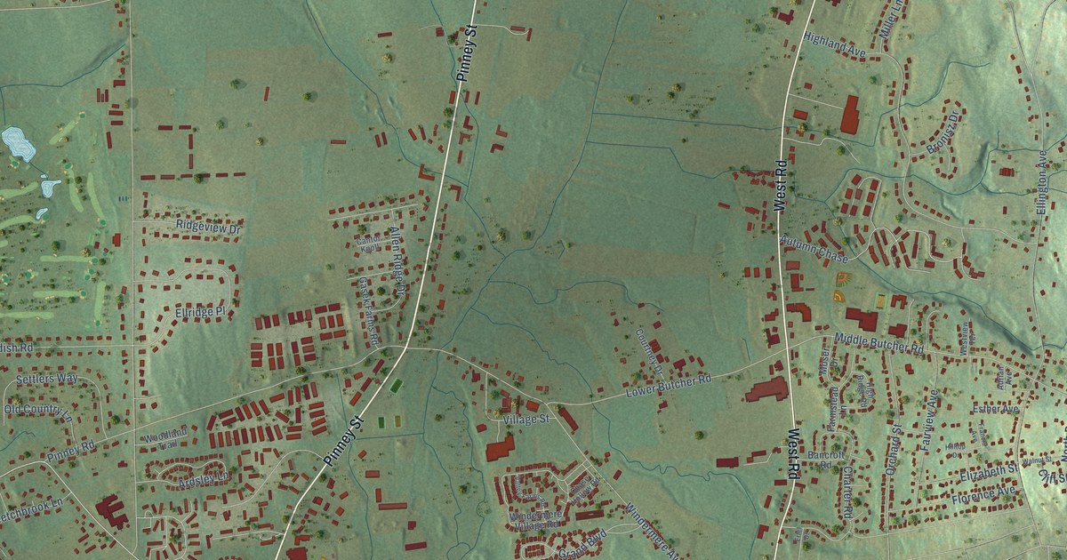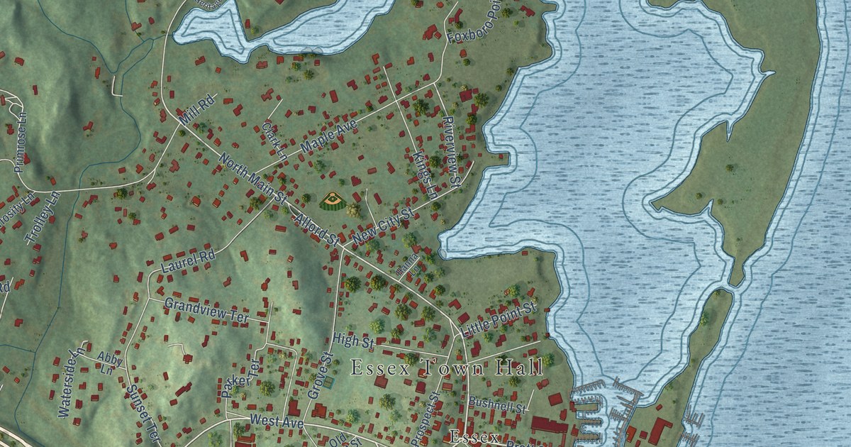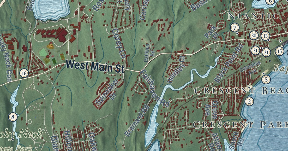
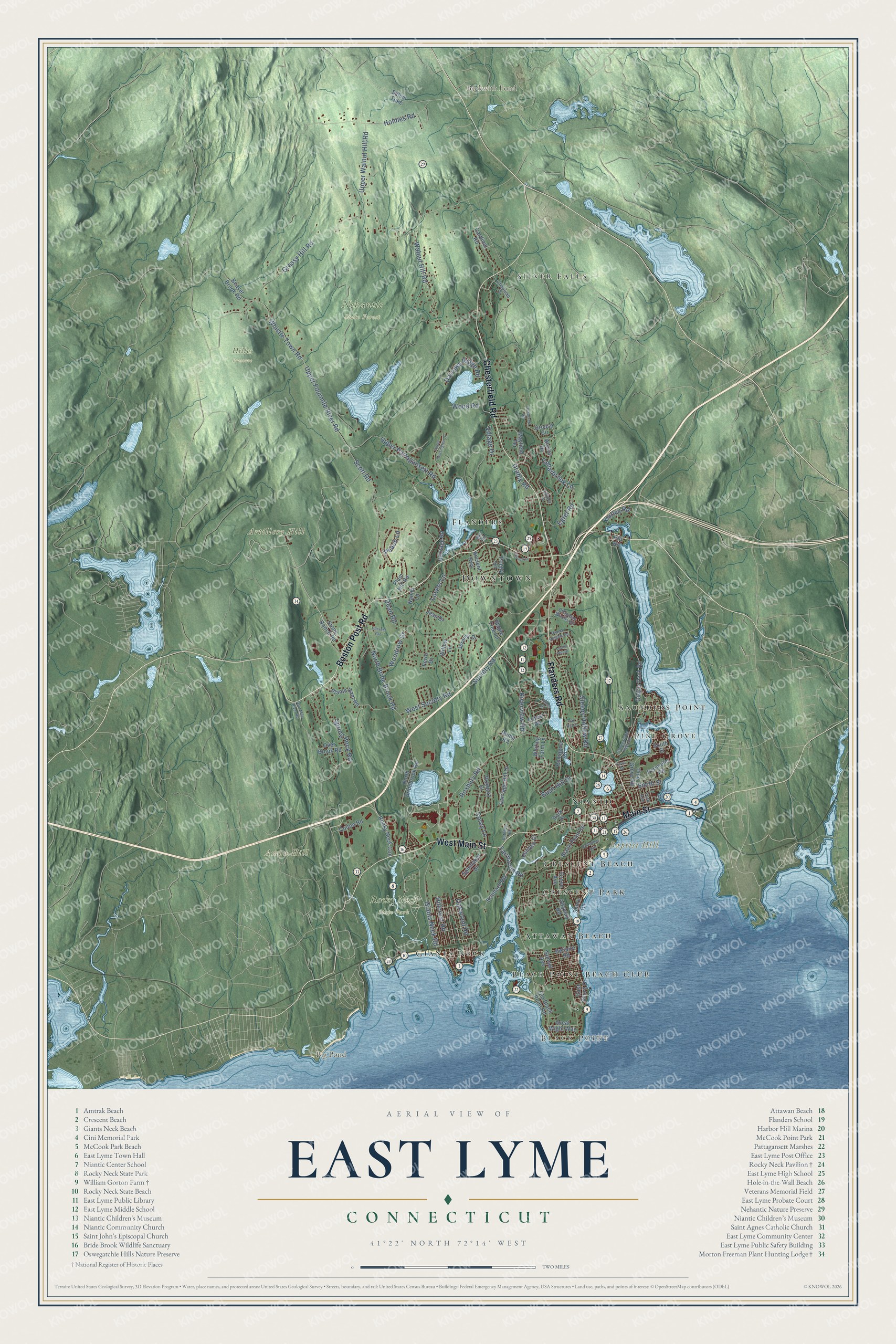
This beautifully detailed map of East Lyme, Connecticut was created in 2026 using aerial imagery combined with modern topographical, census, street and landmark data. It’s a one-of-a-kind view of East Lyme that combines accurate data with a vintage aesthetic. The map shows every building in its true location, many of the roads carry their names, and the shaded topographic relief shows the shape of the land.
See it on a wall
The East Lyme map as an 18 x 24 inch print in a black frame.

Explore an aerial view of East Lyme, Connecticut
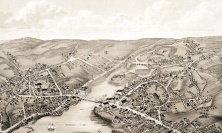
On the map you’ll find Downtown, Black Point, Amon Hill, Artillery Hill, Baptist Hill, Beckwith Pond, Big Pond, Hilles Preserve, Nehantic State Forest, Rocky Neck State Park, Silver Falls, Pine Grove, and more. If you look closely you can even find your house accurately drawn in its correct location. Zoom in on the preview to look for yours. Click here to learn more about the history of East Lyme.
Take a closer look at the East Lyme map
Click to explore a larger preview. The digital watermark does not appear on printed maps.
Names on this map
These names are printed on this map.
Places: Downtown, Black Point, Amon Hill, Artillery Hill, Baptist Hill, Beckwith Pond, Big Pond, Hilles Preserve, Nehantic State Forest, Rocky Neck State Park, Silver Falls, Pine Grove, Attawan Beach, Flanders, Crescent Park, Niantic, Giants Neck, Black Point Beach Club, Crescent Beach and Saunders Point.
Streets and roads: Boston Post Road, Chesterfield Road, West Main Street, Flanders Road, Main Street, Spring Rock Road, Grassy Hill Road, Upper Pattagansett Road, Roxbury Road, Upper Fourmile River Road, Whistle Town Road, Scott Road.
More street names, A to Z
Alscot Drive, Ancient Highway, Attawan Road, Beaver Brook Road, Bellaire Road, Black Point Road, Brainard Road, Bush Hill Drive, Cardinal Road, Carriage Hill Drive, Cedarbrook Lane, Chapman Drive, Chapman Woods Road, Church Lane, Colton Road, Columbus Avenue, Corey Lane, Cove Drive, Cubles Drive, Damon Heights Road, Darrows Ridge Road, Dean Road, Drabik Road, Dump Road, East Shore Drive, Egret Road, Fairhaven Road, Ferro Drive, Forest Road, Four Mile River Road, Giants Neck Road, Great Wight Way, Grouse Circle, Grove Avenue, Gurley Road, Harvest Gln, Heritage Road, Hillcrest Road, Hill Road, Holmes Road, Huntley Court, Jean Drive, Jeremy Drive, Latimer Drive, Laurel Hill Drive, Lovers Lane, Maple Tree Lane, Mayfield Terrace, Mill Road, Naomi Lane, North Bride Brook Road, North Bridebrook Road, Oak Hill Drive, Oakwood Road, Old Black Point Road, Oswegatchie Hills Road, Over Brook Road, Park Place, Peach Lane, Perimeter Road, Pine Grove Road, Plants Dam Road, Plum Hill Road, Poppy Lane, Quailcrest Road, Quarry Dock Road, Rathbun Road, Riverview Road, Rocky Neck Con, Romagna Road, Roxbury Court, Salem Turnpike, Shore Road, Sleepy Hollow Road, Smith Street, Society Road, South Street, Spinnaker Drive, Stone Ranch Road, Sunset Avenue, Upper Kensington Drive, Upper Walnut Hill Road, Village Drive, Walnut Hill Road, West Society Road, Whiting Farm Lane, Willow Lane, Wood Road, Woodrow Drive, York Avenue.
This beautifully detailed map of East Lyme makes an attractive addition to your office, library, or den, and it can even be used to teach children the geography and history of the area. It also makes a great gift for someone who left East Lyme and still calls it home. When you’re done exploring, click here to get your copy of the East Lyme map.