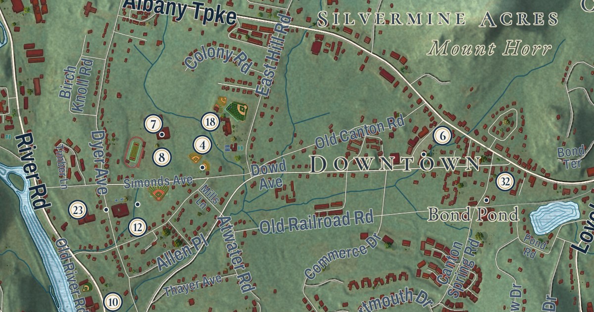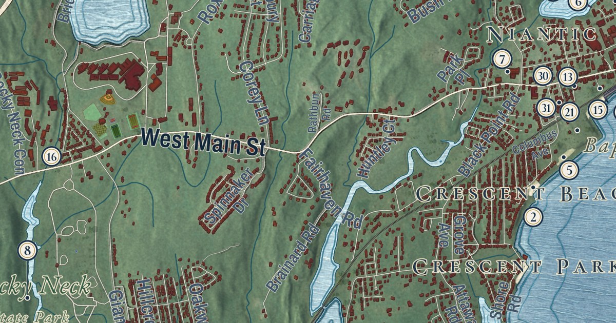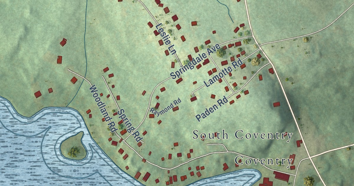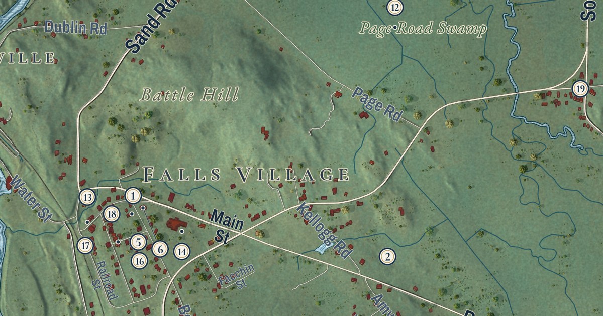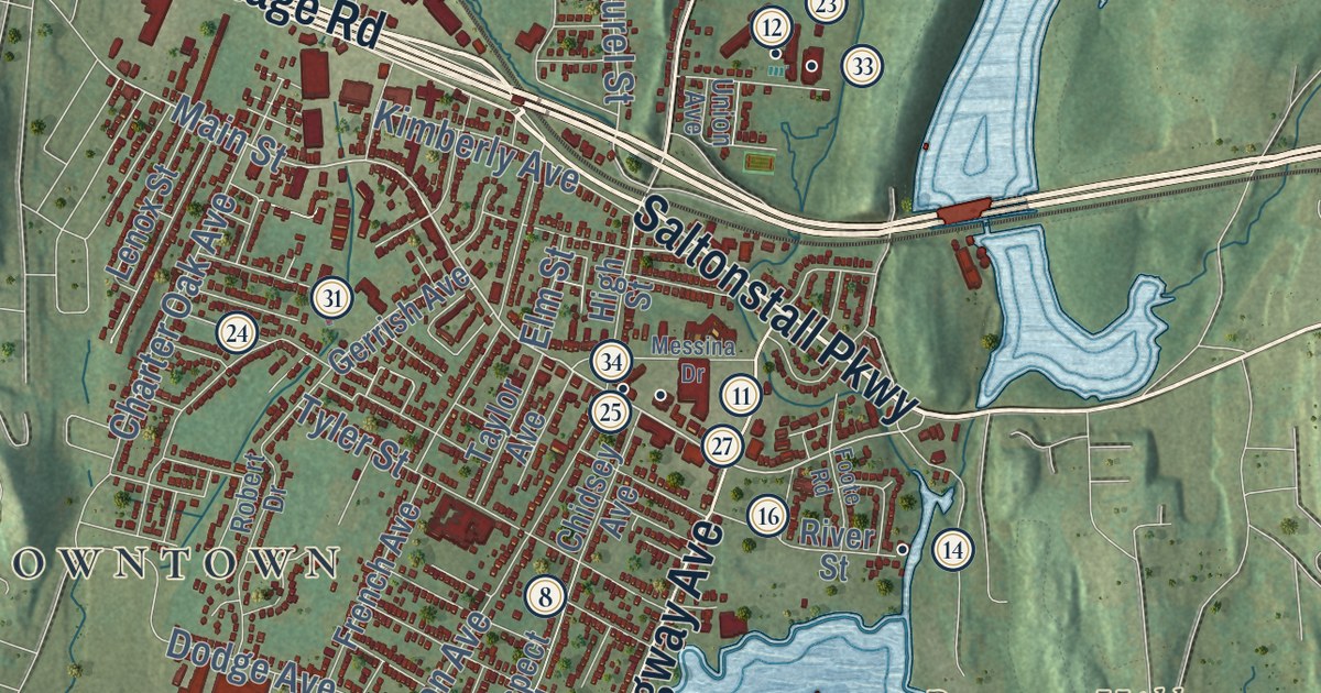
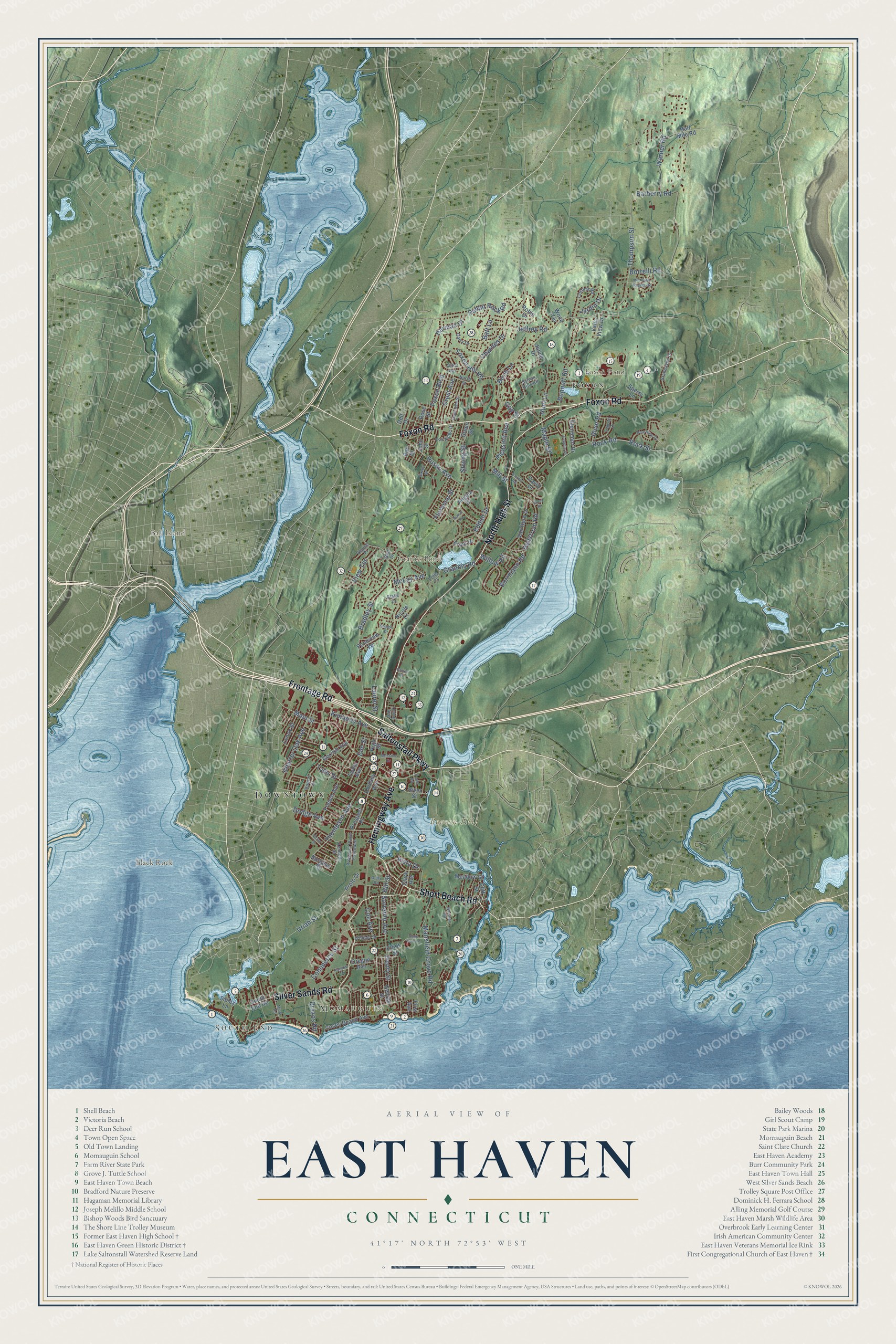
This beautifully detailed map of East Haven, Connecticut was created in 2026 using aerial imagery combined with modern topographical, census, street and landmark data. It’s a one-of-a-kind view of East Haven that combines accurate data with a vintage aesthetic. The map shows every building in its true location, many of the roads carry their names, and the shaded topographic relief shows the shape of the land.
See it on a wall
The East Haven map as an 18 x 24 inch print in a black frame.

Explore an aerial view of East Haven, Connecticut
On the map you’ll find Downtown, South End, Momauguin, Ball Island, Beacon Hill, Black Rock, Foxon Pond, Graniss Pond, and Foxon, along with Frontage Road, Saltonstall Parkway, Foxon Road, and more. If you look closely you can even find your house accurately drawn in its correct location. Zoom in on the preview to look for yours. Click here to learn more about the history of East Haven.
Take a closer look at the East Haven map
Click to explore a larger preview. The digital watermark does not appear on printed maps.
Names on this map
These names are printed on this map.
Places: Downtown, South End, Momauguin, Ball Island, Beacon Hill, Black Rock, Foxon Pond, Graniss Pond and Foxon.
Streets and roads: Frontage Road, Saltonstall Parkway, Foxon Road, Short Beach Road, North High Street, Silver Sands Road, Hemingway Avenue, Main Street, Laurel Street, Uriah Street, Rock Street, Thompson Street.
More street names, A to Z
Aaron Road, Allikat Way, Angela Drive, Ann Street, Barberry Road, Batt Lane, Bennett Road, Birch Lane, Blake Court, Borrelli Road, Borrmann Road, Bradley Street, Branhaven Drive, Brazos Road, Burgess Street, Cecelia Drive, Charnes Drive, Charter Oak Avenue, Chidsey Avenue, Clark Avenue, Cliff Street, Coe Avenue, Commerce Street, Corbin Road, Cortina Road, Cosey Beach Avenue, Crest Avenue, David Drive, Dell Drive, Dodge Avenue, Eddon Drive, Edgehill Drive, Ellen Place, Elliot Street, Elm Street, Erico Drive, First Avenue, Florence Street, Foote Road, Foxon Boulevard, Foxon Hill Road, Fox Ridge Drive, French Avenue, Garry Drive, Gay Street, George Street, Gerrish Avenue, Getty Road, Glenmoor Drive, Gloria Place, Golf Drive, Grannis Road, Green Street, Half Mile Road, Harmac Drive, Hellstrom Road, Henry Street, High Street, Hill Street, Hoop Pole Lane, Hunt Lane, Jardin Drive, Jeffrey Road, Jillson Drive, John Street, Julius Drive, Kenneth Street, Kimberly Avenue, Lenox Street, Letis Court, Mansfield Grove Road, Maple Street, McLay Avenue, Meadow Street, Messina Drive, Mill Pond Heights Road, Mill Street, Minor Road, Nicole Court, North Street, Oregon Avenue, Pine View Drive, Pleasant Avenue, Pondview Terrace, Prospect Place, Prospect Place Extended, Proto Drive, Rabbit Rock Road, River Road, River Street, Robert Drive, Robin Drive, Rock Road, Rose Street, Russo Avenue, Savoy Street, Sharon Drive, Sibley Lane, Sorrento Avenue, South Dale Street, South End Road, Sperry Lane, Strong Street, Sylvan Hills Road, Taylor Avenue, Thompson Avenue, Tyler Street, Union Avenue, Vale View Drive, Van Horn Drive, Venice Place, Victor Street, View Terrace, Vista Drive, Warner Road, Wheaton Road, William Street, Willow Road, Wood Terrace.
This beautifully detailed map of East Haven makes an attractive addition to your office, library, or den, and it can even be used to teach children the geography and history of the area. It also makes a great gift for anyone who grew up in East Haven or moved away. When you’re done exploring, click here to get your copy of the East Haven map.