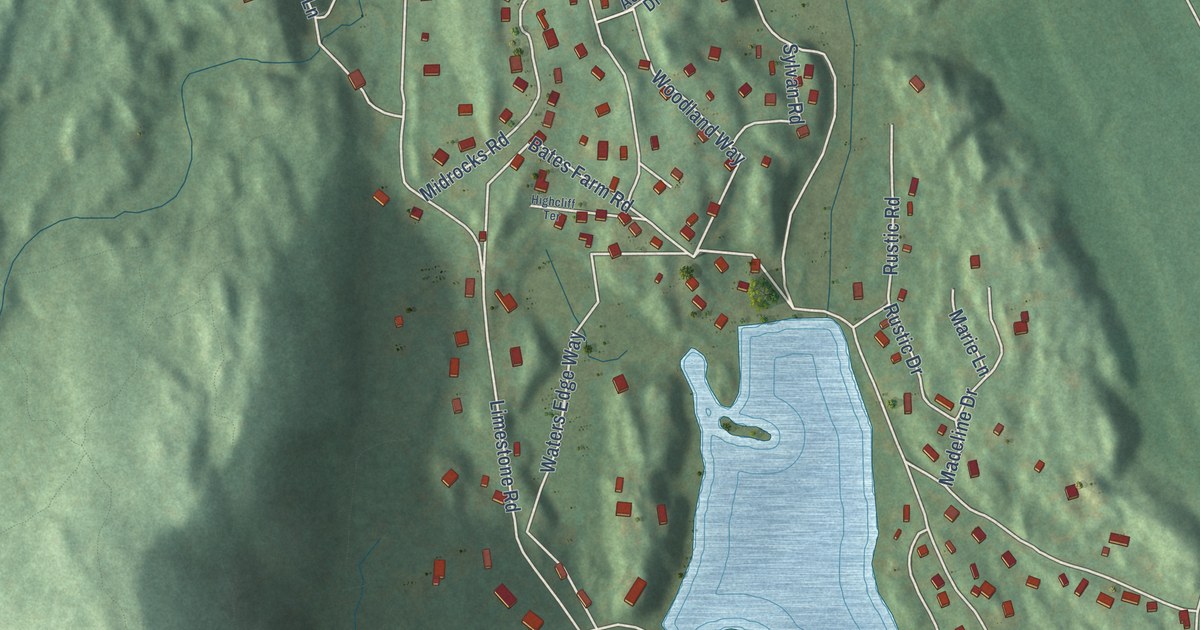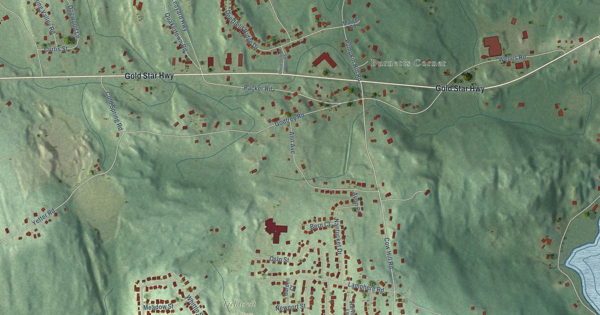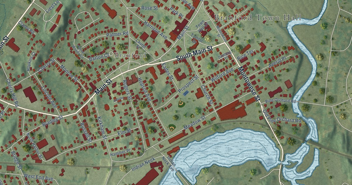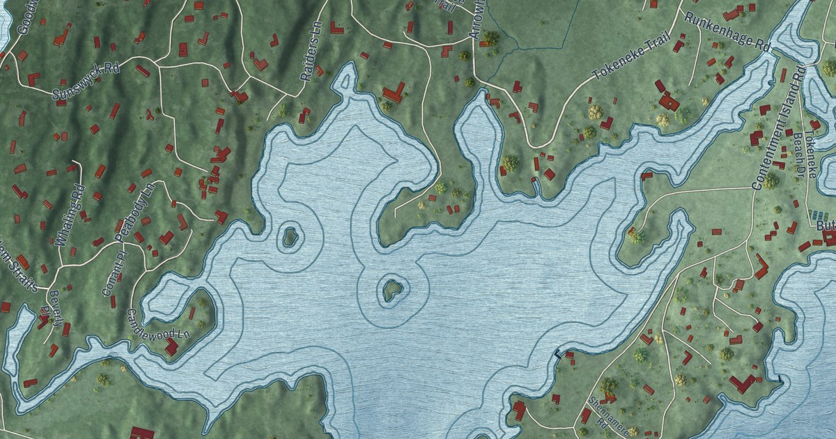
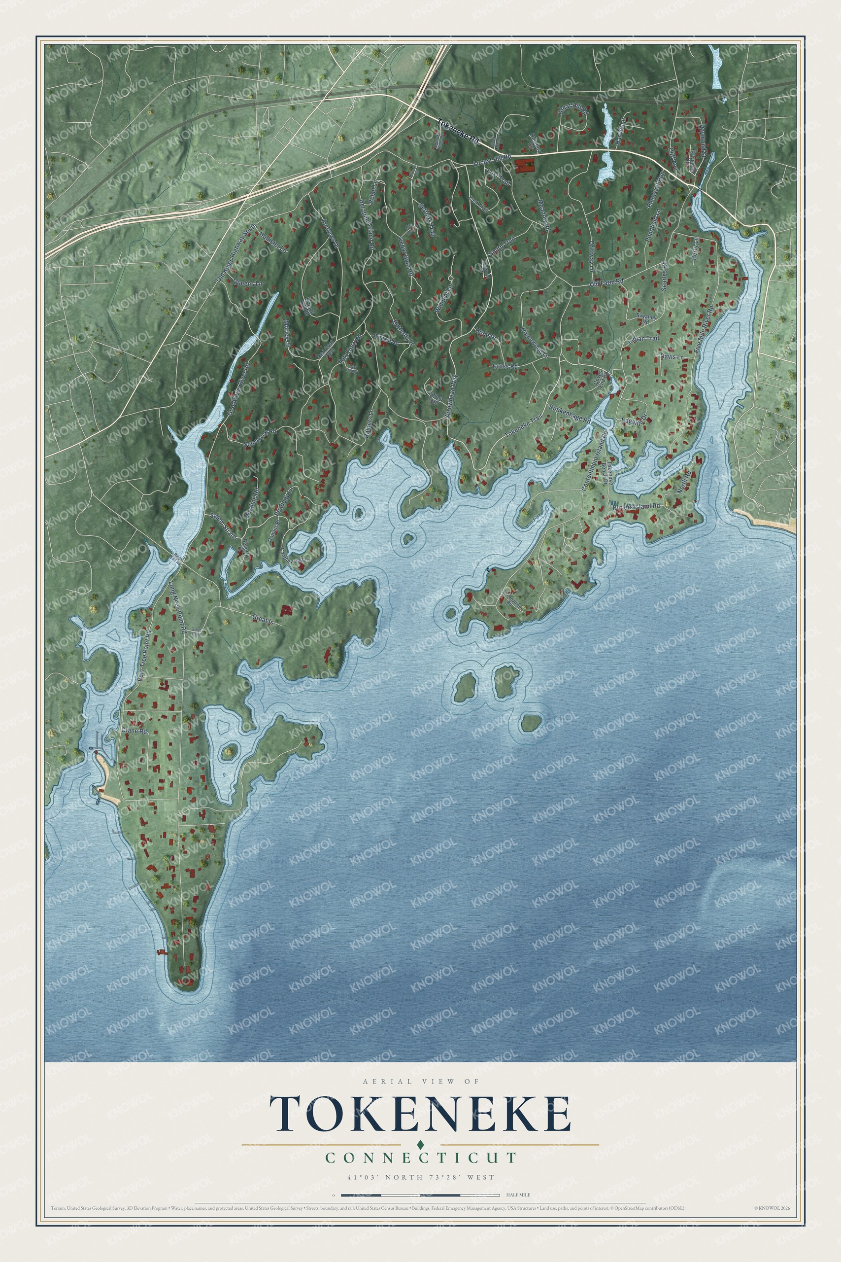
This beautifully detailed map of Tokeneke, Connecticut was created in 2026 using aerial imagery combined with modern topographical, census, street and landmark data. It's a modern aerial view of Tokeneke in Western Connecticut Planning Region, Connecticut, that combines modern data with a vintage aesthetic. The roads feature printed names, and if you look closely you can find your exact house accurately shown in its correct location.
Explore an aerial view of Tokeneke, Connecticut
On this map you'll find Tokeneke Road, Tokeneke Trail, Arrowhead Way, Cross Road, Salem Straits, Long Neck Point Road, Delafield Island Road, Five Mile River Road, Goodwives River Road, Pear Tree Point Road, Old Farm Road, Contentment Island Road, and more. Each red shape is a building, so zoom in on the preview and look for yours.
Tokeneke is a community in Western Connecticut Planning Region. The Census Bureau counted 2,794 people here in 2020. Tokeneke sits about 2 miles south of Darien Downtown, 2 miles southeast of Noroton Heights and 4 miles southwest of Norwalk. The map prints the town name in its title panel, with the coordinates below it.
Take a closer look at the Tokeneke map
Names on this map
These names are printed on this map.
Streets and roads: Tokeneke Road, Tokeneke Trail, Arrowhead Way, Cross Road, Salem Straits, Long Neck Point Road, Delafield Island Road, Five Mile River Road, Goodwives River Road, Pear Tree Point Road, Old Farm Road, Contentment Island Road.
More street names, A to Z
Andrews Drive, Berry Lane, Beverly Place, Brushy Hill Road, Butlers Island Road, Butterfly Lane, Candlewood Lane, Canoe Trail, Cedar Gate Road, Cliff Avenue, Clocks Lane, Conant Place, Coves End Road, Crane Road, Davis Lane, Dogwood Lane, Driftway Lane, East Trail, Edgehill Drive, Great Hill Road, Great Is, Great Island, Harriet Lane, Hollister Lane, Homewood Lane, Hope Drive, Indian Trail, Locust Hill Road, Lost Trail, Meadow Road, Morley Lane, North Road, Old Kings Highway South, Peabody Lane, Pheasant Run, Pondfield Lane, Queens Lane, Raiders Lane, Rainbow Circle, Raymond Heights, Raymond Street, Rebel Lane, Red Coat Pass, Rings End Road, Runkenhage Road, Searles Road, Settlers Trail, Shennamere Road, Silver Lakes Drive, Siwanoy Road, South Trail, Sunswyck Road, Tokeneke Beach Drive, Tokeneke Ridge Road, Tory Hill Road, Tory Hole Road, Whaling Road, Wildcat Road, Wild Rose Lane, Winding Lane.
See it on a wall
The Tokeneke map as a framed print. Swipe for more.


Created by KNOWOL in 2026. The buildings are small red shapes, the roads carry their printed names, and shaded relief shows the shape of the land. The title panel reads "AERIAL VIEW OF TOKENEKE, CONNECTICUT" with 41°03' NORTH 73°28' WEST.
Hang it in the hallway, the office or the cabin, or give it to someone who left Tokeneke and still calls it home. Open the preview and look for a street you know. See sizes and frames for the Tokeneke map.