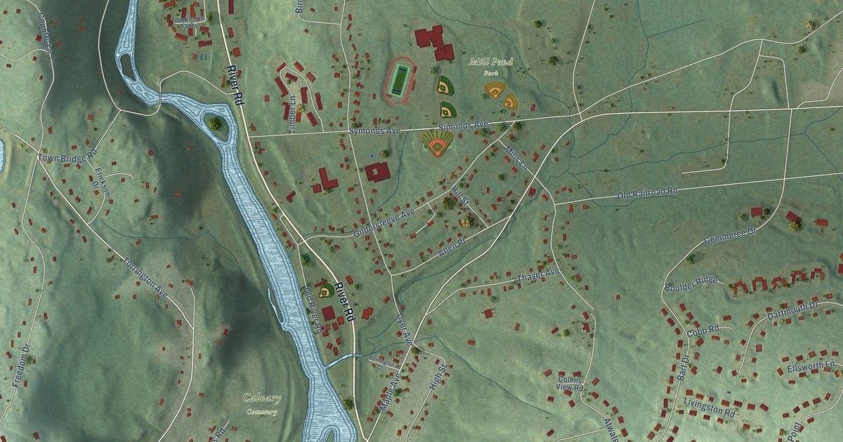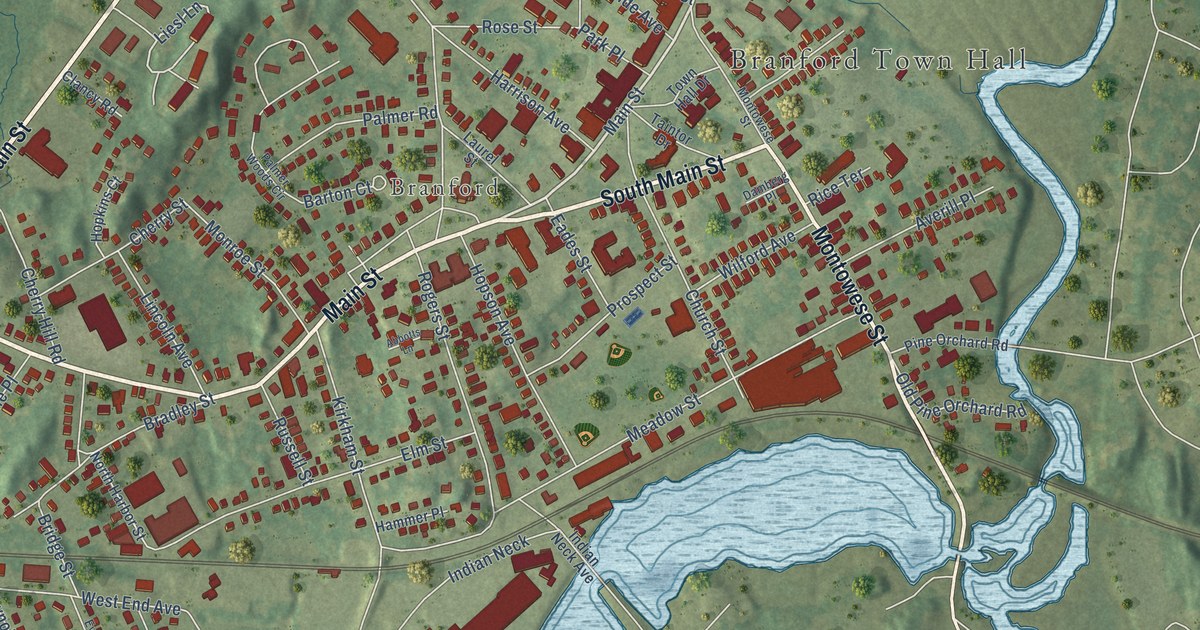
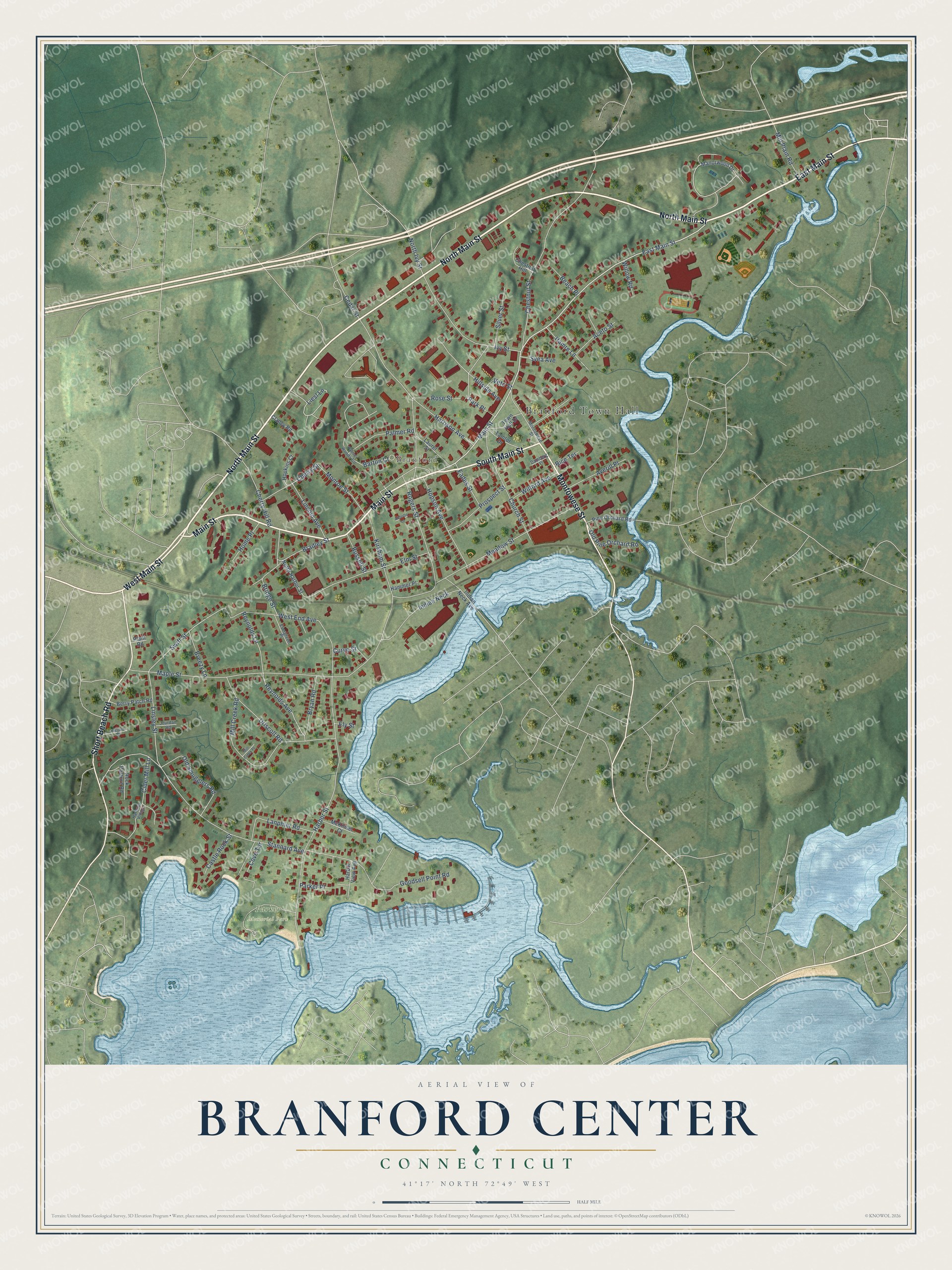
This beautifully detailed map of Branford Center, Connecticut was created in 2026 using aerial imagery combined with modern topographical, census, street and landmark data. It's a modern aerial view of Branford Center in South Central Connecticut Planning Region, Connecticut, that combines modern data with a vintage aesthetic. The roads feature printed names, and if you look closely you can find your exact house accurately shown in its correct location.
Explore an aerial view of Branford Center, Connecticut
On this map you'll find Branford Town Hall, Branford, Parker Memorial Park, North Main Street, East Main Street, South Main Street, Main Street, Montowese Street, Short Beach Road, West Main Street, Reynolds Avenue, Liesl Lane, and more. Each red shape is a building, so zoom in on the preview and look for yours.
Branford Center is a community in South Central Connecticut Planning Region. The Census Bureau counted 6,026 people here in 2020. Branford Center sits about 2 miles southeast of East Haven, 6 miles east of New Haven and 7 miles west of Guilford Center. The map prints the town name in its title panel, with the coordinates below it.
Take a closer look at the Branford Center map
Names on this map
These names are printed on this map.
Places: Branford Town Hall, Branford and Parker Memorial Park.
Streets and roads: North Main Street, East Main Street, South Main Street, Main Street, Montowese Street, Short Beach Road, West Main Street, Reynolds Avenue, Liesl Lane, Swift Street, Linsley Street, North Ivy Street.
More street names, A to Z
Abbotts Lane, Aceto Street, Averill Place, Barton Court, Beach Place, Berry Patch Road, Bradley Street, Breezy Lane, Bridge Street, Bryan Road, Castle Rock Street, Cedar Street, Cherry Hill Road, Cherry Street, Chestnut Hill, Chestnut Street, Church Street, Cider Mill Lane, Clancy Road, Cove Terrace, Curve Street, Damberg Place, Driscoll Road, Eades Street, Elm Street, Ely Street, Evergreen Place, Goodsell Point Road, Hammer Place, Hamre Lane, Harbor Street, Harbor View Avenue, Harbour Village, Harrison Avenue, Hillside Avenue, Home Place, Hopkins Court, Hopson Avenue, Indian Neck, Indian Neck Avenue, Ivy Street, Jourdan Road, Kirkham Street, Lanphier Road, Laurel Street, Lincoln Avenue, Manorwood Drive, Maple Street, McKinnel Court, Meadow Street, Mill Creek Place, Mill Creek Road, Mill Plain Road, Monroe Street, North Harbor Street, Old Pine Orchard Road, Old Smugglers Road, Palmer Road, Palmer Woods Circle, Parker Place, Park Place, Pine Orchard Road, Plant Road, Prospect Street, Reynolds Lane, Rice Terrace, Rock Pasture Road, Rogers Street, Rose Street, Russell Street, Silver Street, Stannard Avenue, Svea Avenue, Taintor Drive, Town Hall Drive, Veto Street, Vineyard Road, West End Avenue, Wilford Avenue, Willow Road.
Created by KNOWOL in 2026. The buildings are small red shapes, the roads carry their printed names, and shaded relief shows the shape of the land. The title panel reads "AERIAL VIEW OF BRANFORD CENTER, CONNECTICUT" with 41°17' NORTH 72°49' WEST.
Hang it in the hallway, the office or the cabin, or give it to someone who left Branford Center and still calls it home. Open the preview and look for a street you know. See sizes and frames for the Branford Center map.