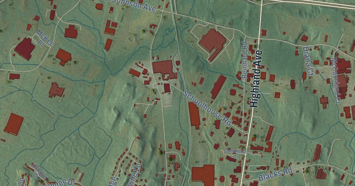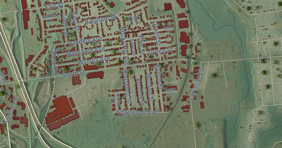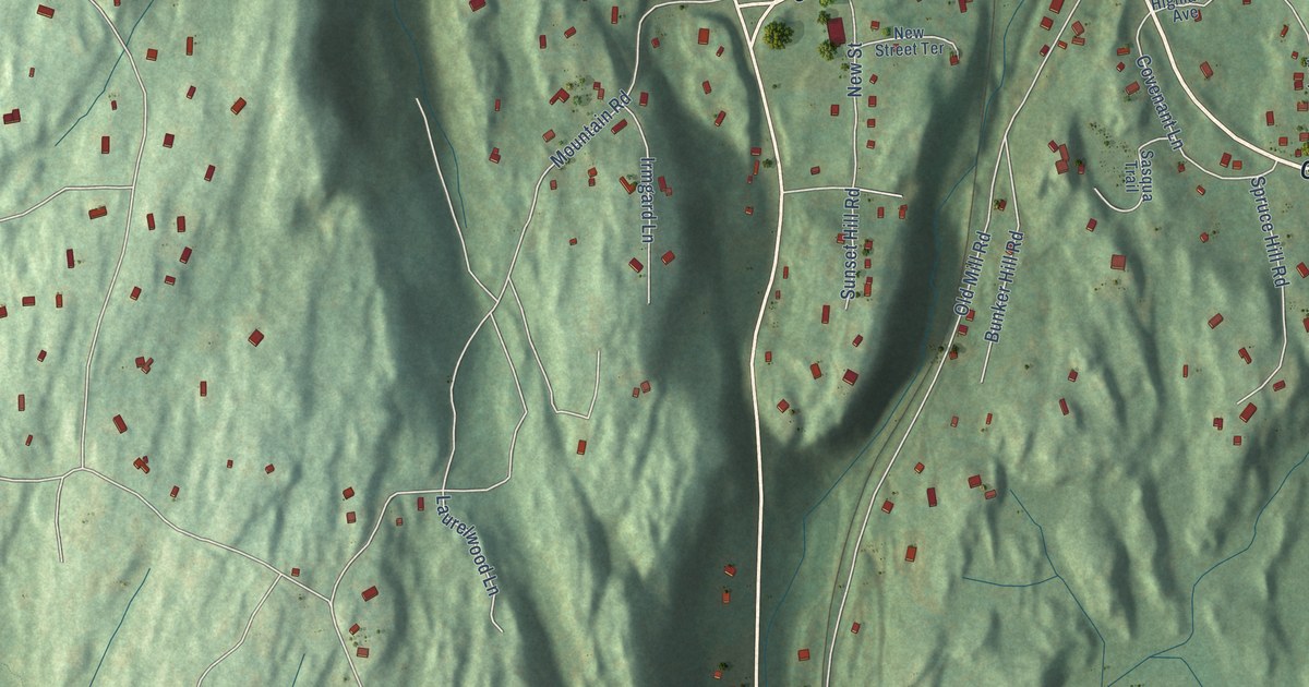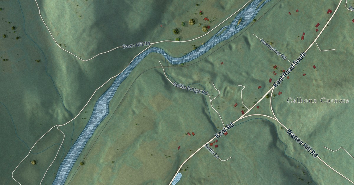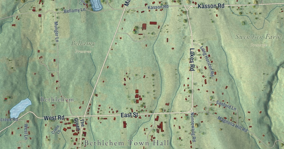
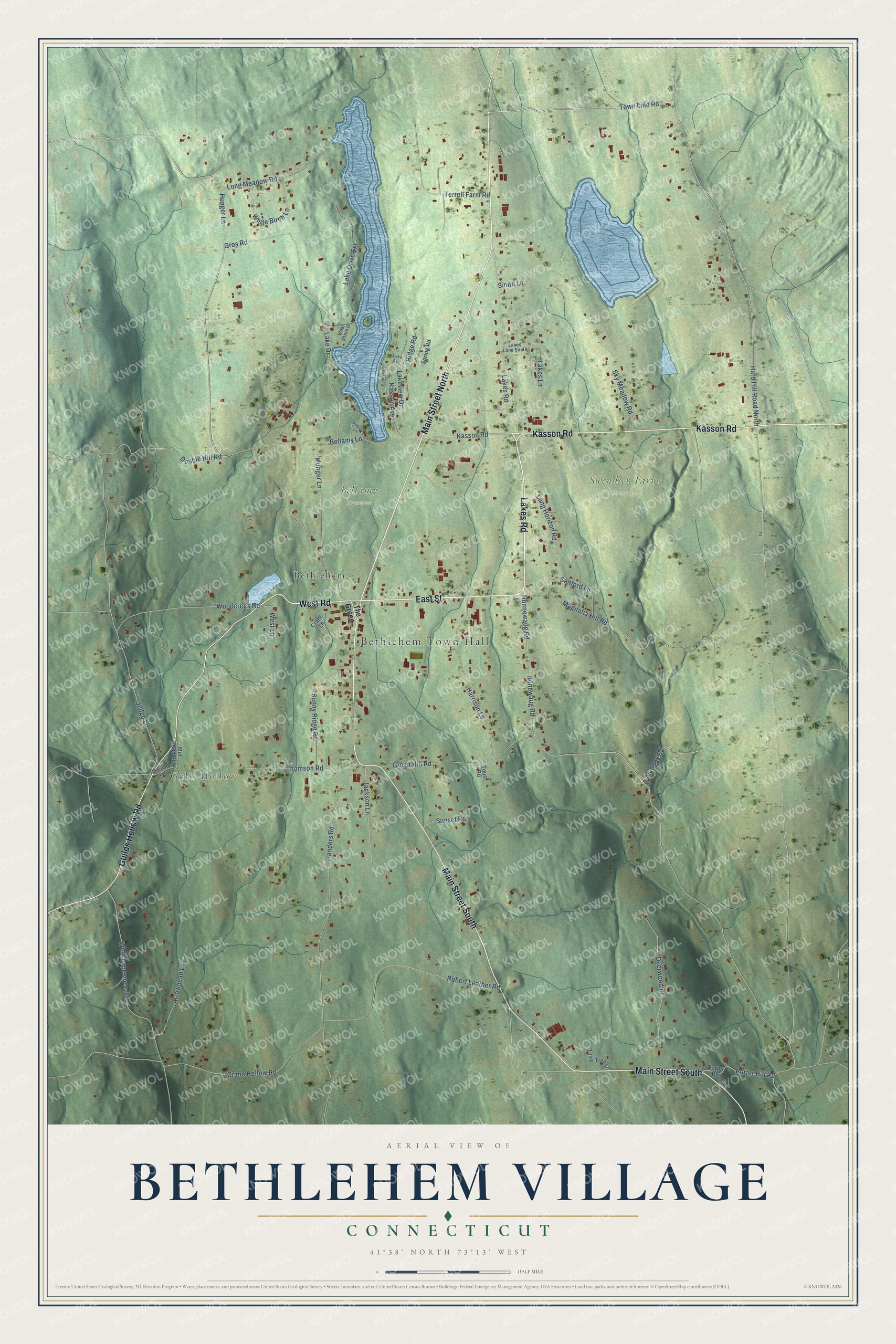
This beautifully detailed map of Bethlehem Village, Connecticut was created in 2026 using aerial imagery combined with modern topographical, census, street and landmark data. It's a modern aerial view of Bethlehem Village in Naugatuck Valley Planning Region, Connecticut, that combines modern data with a vintage aesthetic. The roads feature printed names, and if you look closely you can find your exact house accurately shown in its correct location.
Explore an aerial view of Bethlehem Village, Connecticut
On this map you'll find Bethlehem Town Hall, Gulls Hollow, Bellamy Preserve, Swendsen Farm Preserve, Bethlehem, Lakes Road, East Street, Main Street North, Kasson Road, West Road, Main Street South, Guilds Hollow Road, and more. Each red shape is a building, so zoom in on the preview and look for yours.
Bethlehem Village is a community in Naugatuck Valley Planning Region. The Census Bureau counted 1,970 people here in 2020. Bethlehem Village sits about 5 miles northwest of Watertown, 6 miles south of Bantam and 7 miles west of Thomaston. The map prints the town name in its title panel, with the coordinates below it.
Take a closer look at the Bethlehem Village map
Names on this map
These names are printed on this map.
Places: Bethlehem Town Hall, Gulls Hollow, Bellamy Preserve, Swendsen Farm Preserve and Bethlehem.
Streets and roads: Lakes Road, East Street, Main Street North, Kasson Road, West Road, Main Street South, Guilds Hollow Road, Town Line Road, Nonnewaug Road, Hard Hill Road North, Hunger Lane, Lake Drive.
More street names, A to Z
Arrowhead Lane, Bellamy Lane, Bethlehem Lane, Crane Hollow Road, Crane Lane, Deerwood Drive, Double Hill Road, Flanders Road, Green Hill Road, Gros Road, Harrison Lane, Jackson Lane, Judge Lane, Kasson Avenue, Lake Avenue, Lake Drive Extension, Lakes Lane, Lakes Lane South, Lakeview Drive, Long Horizon Road, Long Meadow Road, Maddox Road, Magnolia Hill Road, Mill Pond Road, Molzon Lane, Munger Lane, Nonewaug Road, Porter Hill Road, Porter Road, Ridge Road, Robert Leather Road, Sanford Lane, Sky Meadow Road, Smith Lane, Spring Road, Sunny Ridge Road, Sunset Road, Terrell Farm Road, The Green, Thomson Road, Tousi Road, Tulip Tree Lane, Virginia Lane, Weekeepeemee Road, West Lane, West Shore Drive, White Birch Lane, Woodcreek Road.
See it on a wall
The Bethlehem Village map as a framed print. Swipe for more.


Created by KNOWOL in 2026. The buildings are small red shapes, the roads carry their printed names, and shaded relief shows the shape of the land. The title panel reads "AERIAL VIEW OF BETHLEHEM VILLAGE, CONNECTICUT" with 41°38' NORTH 73°13' WEST.
It suits a den, a classroom or a front hall, and it makes a gift for anyone with Bethlehem Village roots. Open the preview and find the block you know. See sizes and frames for the Bethlehem Village map.