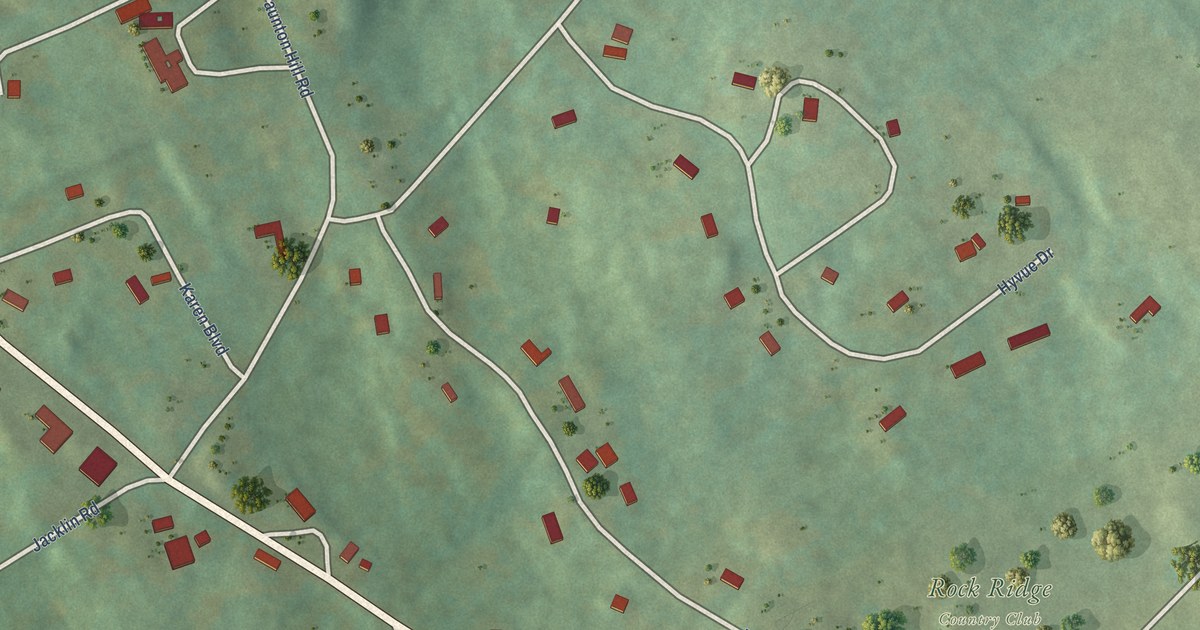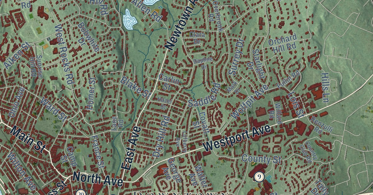
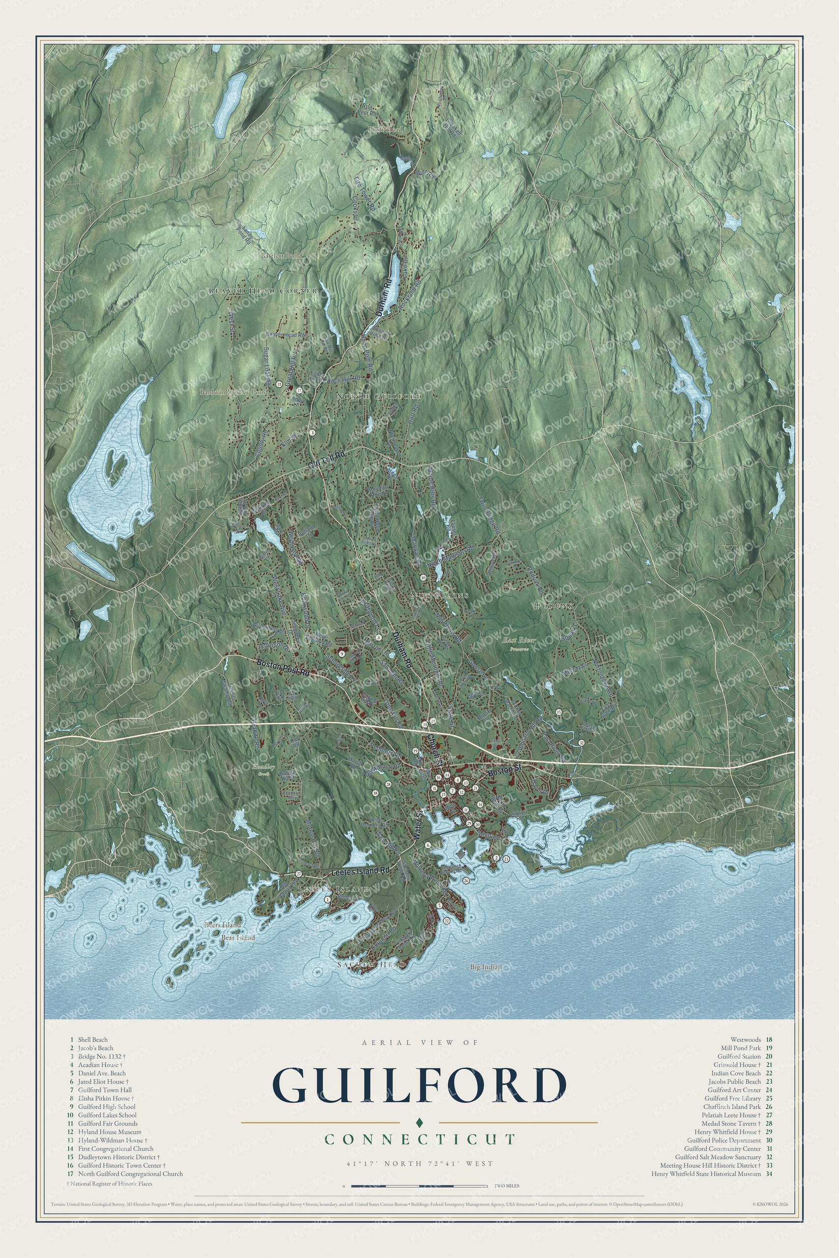
This beautifully detailed map of Guilford, Connecticut was created in 2026 using aerial imagery combined with modern topographical, census, street and landmark data. It’s a one-of-a-kind view of Guilford that combines accurate data with a vintage aesthetic. The map shows every building in its true location, many of the roads carry their names, and the shaded topographic relief shows the shape of the land.
See it on a wall
The Guilford map as an 18 x 24 inch print in a black frame.

Explore an aerial view of Guilford, Connecticut
On the map you’ll find Sachem Head, Leetes Island, Bear Island, Beers Island, Big Indian, Bluff Head, Baldwin Dudley Pond, Bartlett Pond, East River Preserve, Hoadley Creek, Podunk, Nut Plains, and more. If you look closely you can even find your house accurately drawn in its correct location. Zoom in on the preview to look for yours. Click here to learn more about the history of Guilford.
Take a closer look at the Guilford map
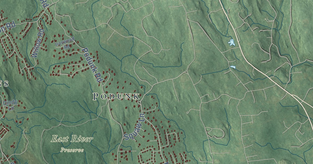
Click to explore a larger preview. The digital watermark does not appear on printed maps.
Names on this map
These names are printed on this map.
Places: Sachem Head, Leetes Island, Bear Island, Beers Island, Big Indian, Bluff Head, Baldwin Dudley Pond, Bartlett Pond, East River Preserve, Hoadley Creek, Podunk, Nut Plains, North Guilford and Beaver Head Corner.
Streets and roads: Leetes Island Road, Water Street, Boston Post Road, Church Street, Durham Road, Old Toll Road, Boston Street, Nortontown Road, Colonial Road, Long Hill Road, Little Meadow Road, Moose Hill Road.
More street names, A to Z
Alden Drive, Alexander Drive, Andy Lane, Balaurel Drive, Barker Hill Drive, Barnshed Lane, Bay Street, Beaver Head Road, Birch Lane, Briarwood Drive, Brook Lane, Bullard Drive, Bunker Hill Road, Burt Road, Cardinal Drive, Carter Drive, Chaffinch Island Road, Cindy Lane, Clapboard Hill Road, Clear Lake Road, Cooks Lane, Copper Hill Drive, County Road, Crooked Hill Road, Davis Drive, Deer Lane, Den Hollow Road, Denison Drive, Driftwood Lane, Dromara Road, Dunk Rock Road, East Avenue, East Gate Road, East River Road, Elm Street, Fire Tower Road, Fitch Hill Road, Flag Marsh Road, Fox Ridge, Fox Run, Gina Lane, Goose Lane, Granite Road, Great Hill Road, Guile Road, Half Mile Road, Hart Road, High Street, Hoop Pole Road, Hoyt Lane, Ironwood Road, Jefferson Drive, Jennifers Drive, Lake Drive, Lakeside Drive, Landon's Way, Lanes Pond Road, Laurel Cliffs Road, Laurel Road, Long Hill Farms Road, Maple Hills Road, Marshall Avenue, Marsh Road, Maupas Road, Meadow Hills Drive, Mill Road, Mirror Lane, Mohawk Trail, Mulberry Point Road, Murray Lane, New England Road, North Madison Road, Northview Drive, Northwood Drive, Nut Plains Road, Old Pent Road, Old Quarry Road, Old Road, Old Sachems Head Road, Oxbow Lane, Peddlers Road, Pent Road, Podunk Road, Pump Lane, Race Hill Road, Redcoat Lane, Richies Way, River Street, Rockland Road, Sachem Head Road, Saddle Hill Drive, Sam Hill Road, Saw Mill Hill Road, Saw Mill Road, Sawpit Road, Scenic View Drive, Schoolside Lane, Sheep Pasture, South Hoop Pole Road, South Union Street, State Street, Stepstone Hill Road, Stony Hill Road, Sugar Loaf Road, Talcott Road, Tanner Marsh Road, Three Corners Road, Towner Swamp Road, Trolley Road, Twin Bridge Road, Village Pond Road, Vineyard Point Road, West Lake Avenue, West Lane, West Street, Whitfield Street, Wilderwood Drive, Williams Drive, Willow Road, Woodland Road, Woods End Road.
This beautifully detailed map of Guilford makes an attractive addition to your office, library, or den, and it can even be used to teach children the geography and history of the area. It also makes a great gift for someone who left Guilford and still calls it home. When you’re done exploring, click here to get your copy of the Guilford map.