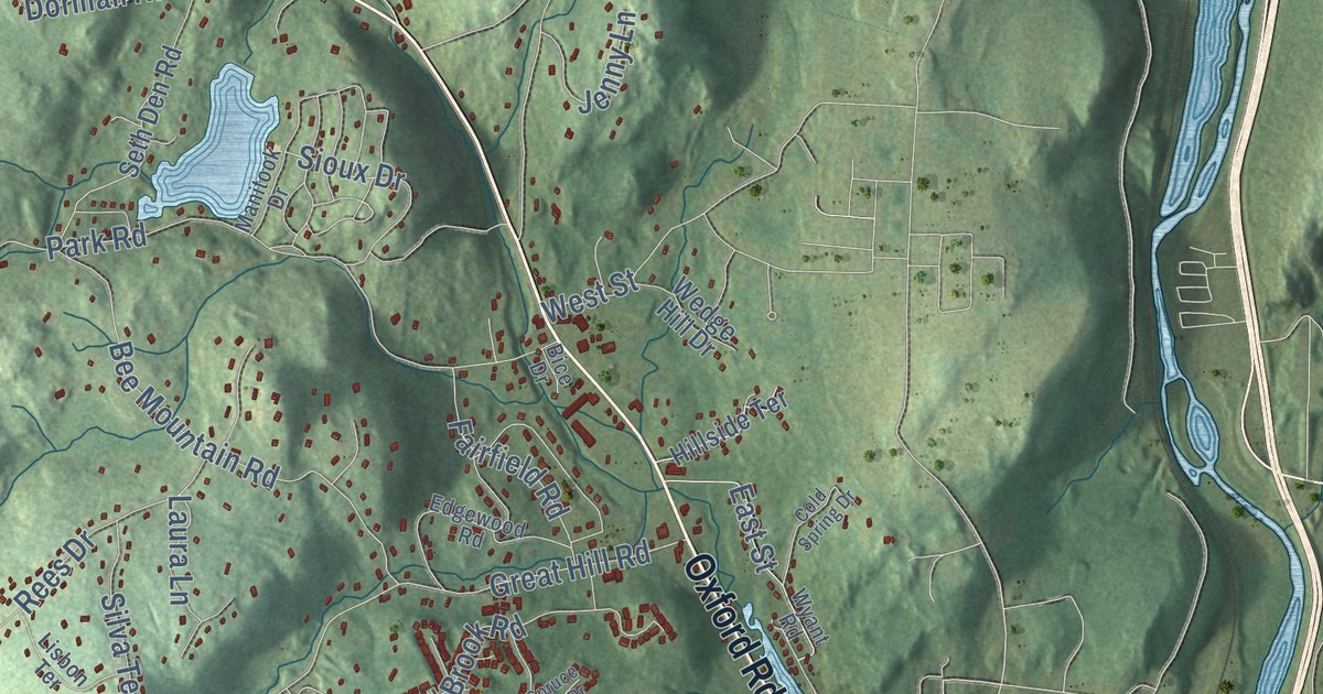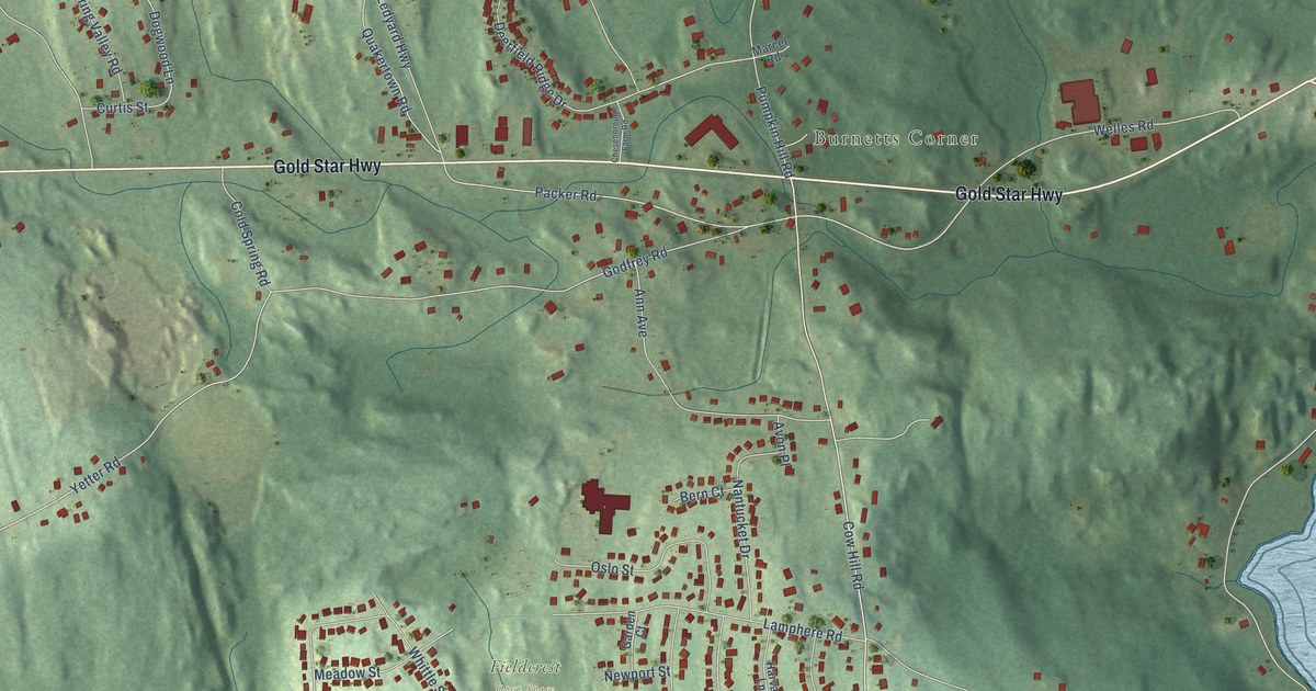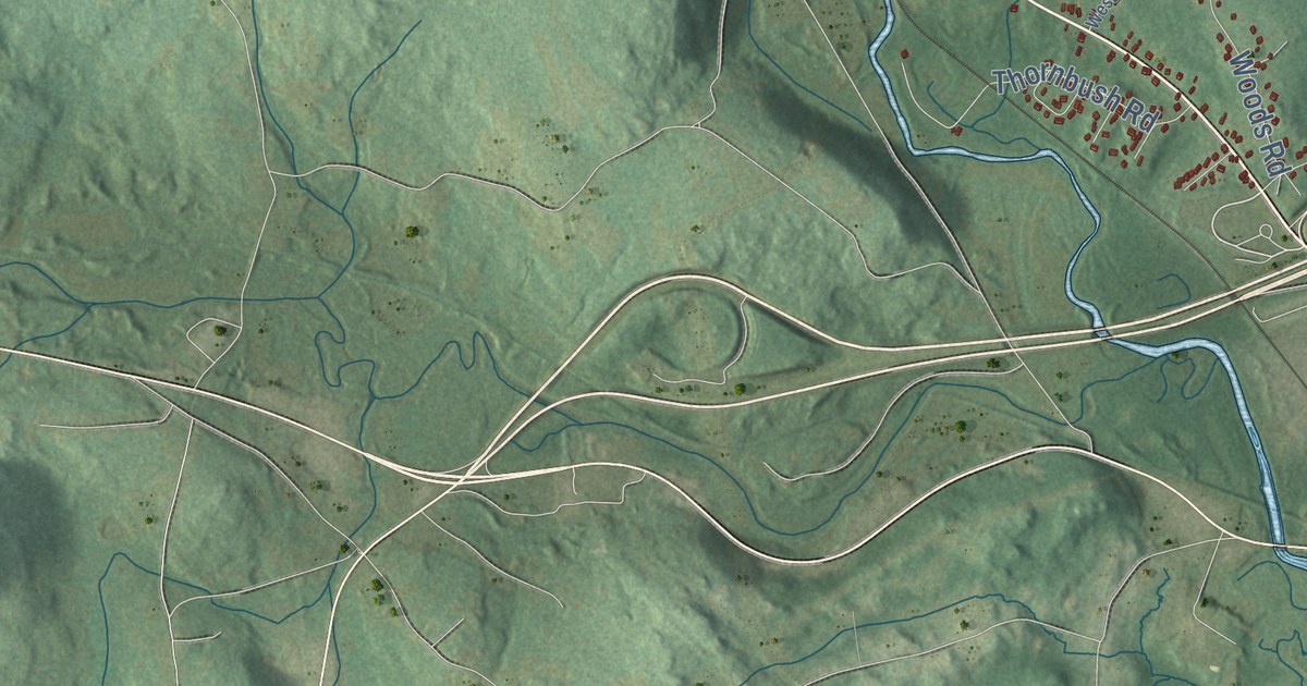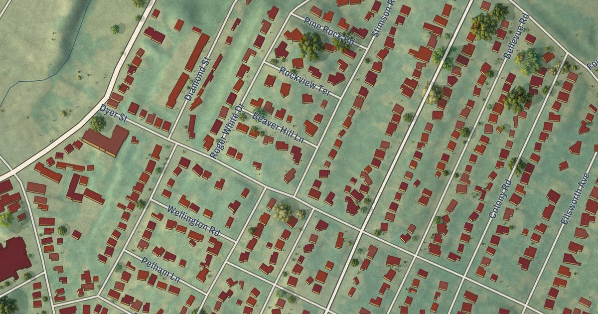
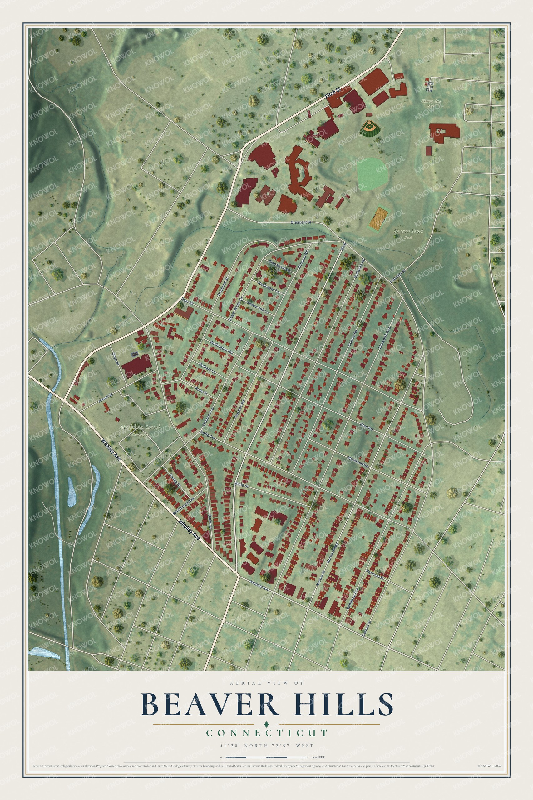
This beautifully detailed map of Beaver Hills, Connecticut was created in 2026 using aerial imagery combined with modern topographical, census, street and landmark data. It’s a one-of-a-kind view of Beaver Hills that combines accurate data with a vintage aesthetic. The map shows every building in its true location, many of the roads carry their names, and the shaded topographic relief shows the shape of the land.
Explore an aerial view of Beaver Hills, Connecticut
On the map you’ll find Beaver Pond Park, Mishkan Israel Cemetery, and Cherry Ann Park, along with Whalley Avenue, Fitch Street, Boulevard, Fournier Street, Ellsworth Avenue, Norton Parkway, Norton Street, Dyer Street, Crescent Street, and more. If you look closely you can even find your house accurately drawn in its correct location. Zoom in on the preview to look for yours.
Did You Know?
Beaver Hills got its name in colonial times from the many beavers at its ponds. The land stayed farmland until farmer George Mead died in 1906. His heirs then split the farm into house lots and formed a development company. That company kept building the neighborhood until 1938.
Beaver Hills is a place in New Haven County.
Take a closer look at the Beaver Hills map
Names on this map
These names are printed on this map.
Places: Beaver Pond Park, Mishkan Israel Cemetery and Cherry Ann Park.
Streets and roads: Whalley Avenue, Fitch Street, Boulevard, Fournier Street, Ellsworth Avenue, Norton Parkway, Norton Street, Dyer Street, Crescent Street, Blake Street, Goffe Terrace, Bellevue Road.
More street names, A to Z
Anita Street, Beaver Hill Lane, Carmel Street, Cherry Ann Street, Colony Road, Diamond Street, Glen Road, Jewell Street, Moreland Road, Onyx Street, Osborn Avenue, Pelham Lane, Percival Street, Pine Rock Road, Rockview Terrace, Roger White Drive, Roydon Road, Ruby Street, Stimson Road, Wellington Road, Whittlesey Avenue, Winthrop Avenue, Young Street.
See it on a wall
The Beaver Hills map as a framed print. Swipe for more.


This beautifully detailed map of Beaver Hills makes an attractive addition to your office, library, or den, and it can even be used to teach children the geography and history of the area. It also makes a great gift for anyone with Beaver Hills roots. When you’re done exploring, click here to get your copy of the Beaver Hills map.