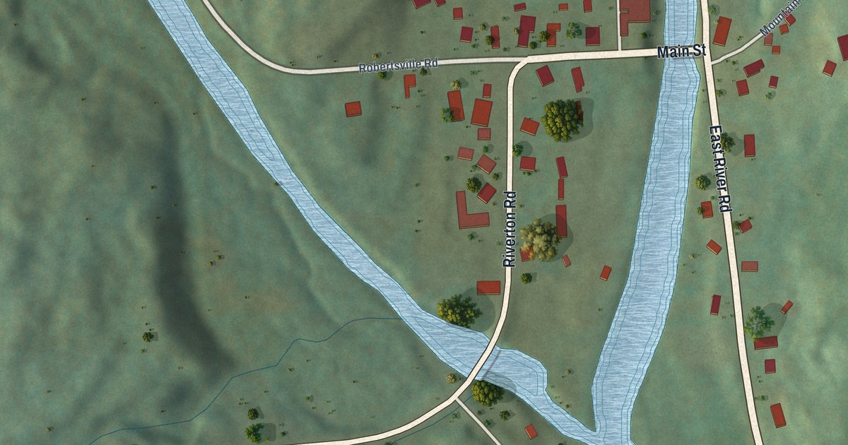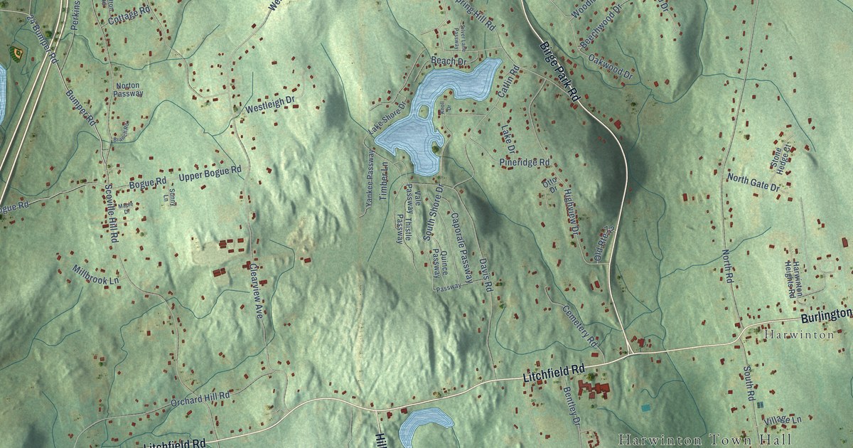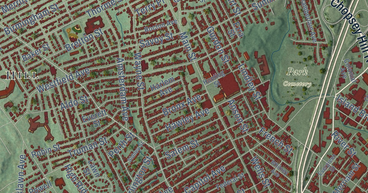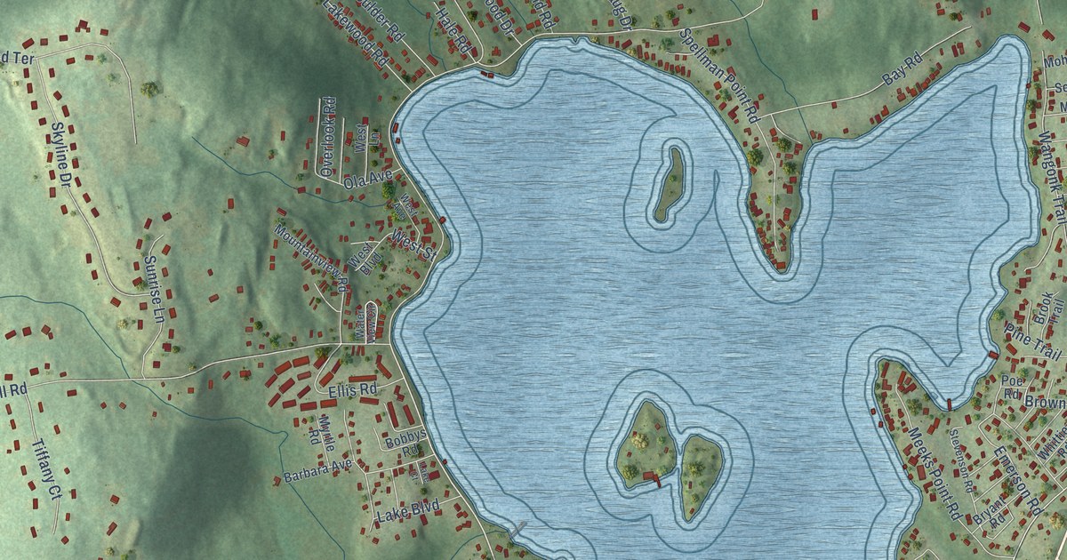
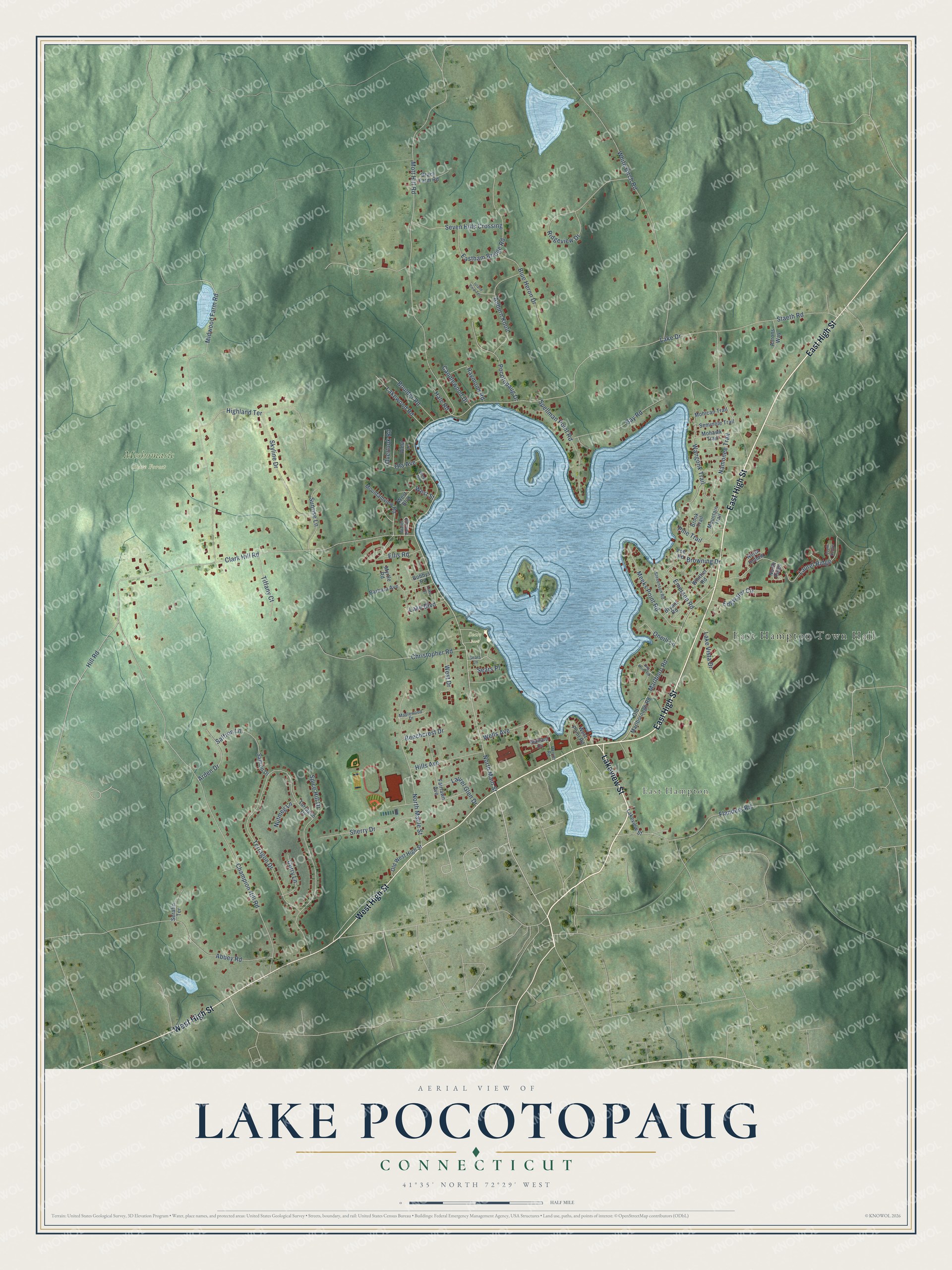
This beautifully detailed map of Lake Pocotopaug, Connecticut was created in 2026 using aerial imagery combined with modern topographical, census, street and landmark data. It's a modern aerial view of Lake Pocotopaug in Lower Connecticut River Valley Planning Region, Connecticut, that combines modern data with a vintage aesthetic. The roads feature printed names, and if you look closely you can find your exact house accurately shown in its correct location.
Explore an aerial view of Lake Pocotopaug, Connecticut
On this map you'll find East Hampton Town Hall, East Hampton, Meshomasic State Forest, Sears Park, Lakeview Street, East High Street, West High Street, North Main Street, Lake Drive, Clark Hill Road, Champion Hill Road, Mott Hill Road, and more. Each red shape is a building, so zoom in on the preview and look for yours.
Every town has a first chapter, and Lake Pocotopaug is no exception. Lake Pocotopaug, about 9 miles around, is one of the largest inland bodies of water in Connecticut. Wangunk communities had long used the lake and the land around it by the time European settlers arrived. In the 1800s its clear water and scenery drew a tourist trade, and waterfront cottages and hotels brought summer residents to East Hampton. That's from the record at ConnecticutHistory.org.
Lake Pocotopaug is a community in Lower Connecticut River Valley Planning Region. The Census Bureau counted 4,901 people here in 2020. Lake Pocotopaug sits about 2 miles northwest of East Hampton, 3 miles southwest of Terramuggus and 6 miles east of Portland. The map prints the town name in its title panel, with the coordinates below it.
Take a closer look at the Lake Pocotopaug map
Names on this map
These names are printed on this map.
Places: East Hampton Town Hall, East Hampton, Meshomasic State Forest and Sears Park.
Streets and roads: Lakeview Street, East High Street, West High Street, North Main Street, Lake Drive, Clark Hill Road, Champion Hill Road, Mott Hill Road, Midwood Farm Road, White Birch Road, Terragon Drive, Spice Hill Drive.
More street names, A to Z
Aarons Way, Abbey Road, Arden Drive, Auburn Knoll, Barbara Avenue, Bay Road, Beechcrest Drive, Blue Heron Drive, Bobbys Road, Boulder Road, Brack Farm Road, Brook Trail, Browning Drive, Bryant Road, Candlewood Drive, Carrier Road, Christopher Road, Curry Lane, Day Point Road, Eastham Bridge Road, Edgwater Circle, Ellis Road, Emerson Road, Fairlawn Avenue, Flanders Road, Hale Road, Highland Terrace, Hill Road, Hills Avenue, Island View Terrace, Lake Boulevard, Lake Court, Lake Vista Drive, Lakewood Road, Laurel Glen Drive, Laurel Ridge, Mallard Cv, Maplewood Drive, Marlboro Road, Meeks Point Road, Mohawk Trail, Mohican Trail, Mountain Trail, Mountainview Road, Myrtle Road, Namonee Trail, North Hollow, North Maple Street, North Ridge, Nutmeg Lane, Ola Avenue, Old Marlborough Road, Old West High Street, Oneill Lane, Overlook Road, Pine Trail, Pocotopaug Drive, Poe Road, Raymond Road, Ridgeview Drive, Saffron Drive, Saffron Lane, Sears Lane, Sears Place, Seminole Trail, Serafin Terrace, Seven Hills Crossing, Sherry Drive, Skyline Drive, South Hollow, Spellman Point Road, Staeth Road, Stevenson Road, Sunrise Lane, Tarragon Drive, Tiffany Court, Wangonk Trail, Water View Circle, Wells Avenue, West Avenue, West Boulevard, West Drive, West Lane, West Point Road, West Street, Whittier Road.
See it on a wall
The Lake Pocotopaug map as a framed print. Swipe for more.


Created by KNOWOL in 2026. The buildings are small red shapes, the roads carry their printed names, and shaded relief shows the shape of the land. The title panel reads "AERIAL VIEW OF LAKE POCOTOPAUG, CONNECTICUT" with 41°35' NORTH 72°29' WEST.
Hang it in the hallway, the office or the cabin, or give it to someone who left Lake Pocotopaug and still calls it home. Open the preview and look for a street you know. See sizes and frames for the Lake Pocotopaug map.