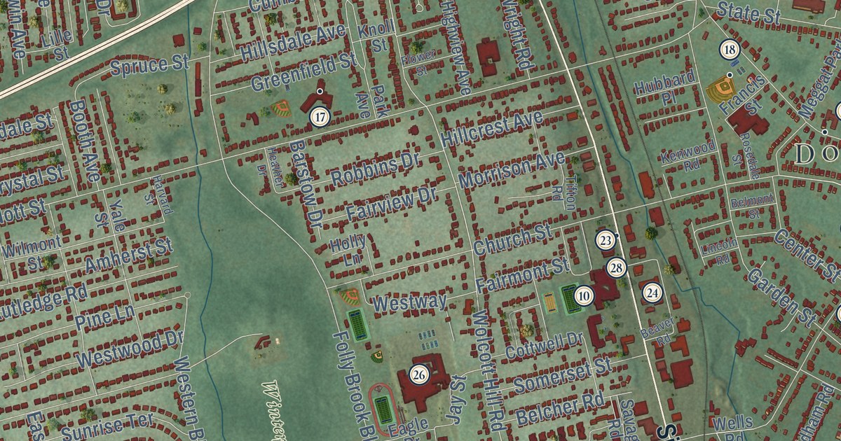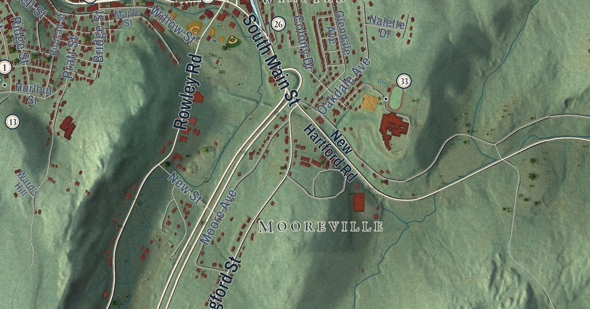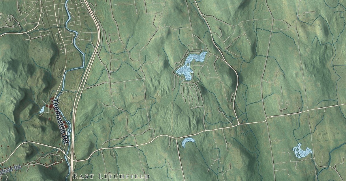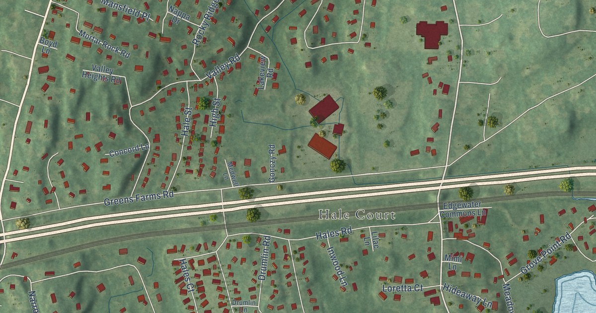
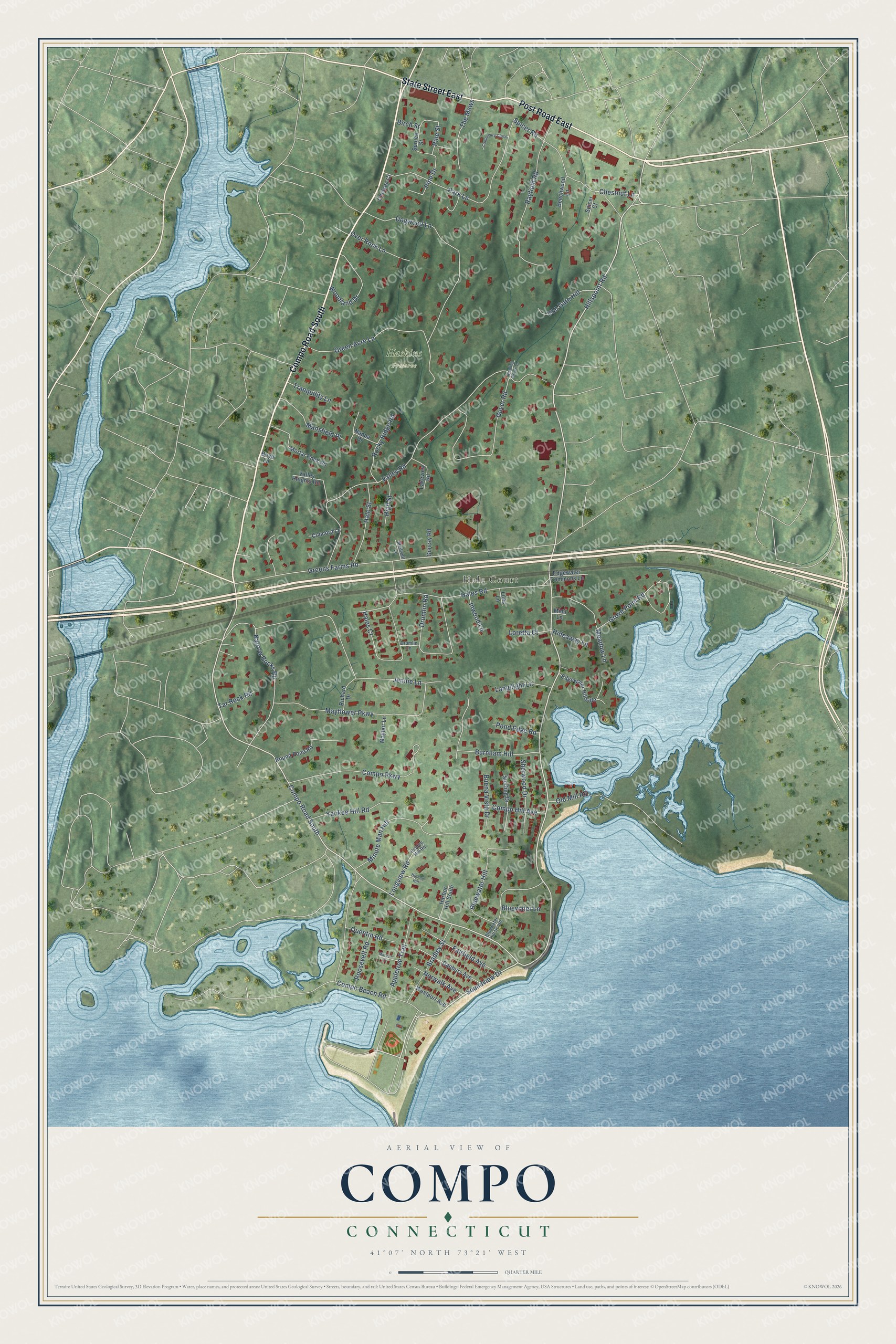
This beautifully detailed map of Compo, Connecticut was created in 2026 using aerial imagery combined with modern topographical, census, street and landmark data. It's a modern aerial view of Compo in Western Connecticut Planning Region, Connecticut, that combines modern data with a vintage aesthetic. The roads feature printed names, and if you look closely you can find your exact house accurately shown in its correct location.
Explore an aerial view of Compo, Connecticut
On this map you'll find Hale Court, Haskins Preserve, Compo Road South, Post Road East, State Street East, Hillspoint Road, Soundview Drive, Greens Farms Road, Narrow Rocks Road, Minute Man Hill, Chestnut Lane, Grove Point Road, and more. Each red shape is a building, so zoom in on the preview and look for yours.
Compo is a community in Western Connecticut Planning Region. The Census Bureau counted 3,354 people here in 2020. Compo sits about 2 miles west of Greens Farms, 2 miles southeast of Old Hill and 3 miles southwest of Staples. The map prints the town name in its title panel, with the coordinates below it.
Take a closer look at the Compo map
Names on this map
These names are printed on this map.
Places: Hale Court and Haskins Preserve.
Streets and roads: Compo Road South, Post Road East, State Street East, Hillspoint Road, Soundview Drive, Greens Farms Road, Narrow Rocks Road, Minute Man Hill, Chestnut Lane, Grove Point Road, Pine Street, Valley Road.
More street names, A to Z
Appletree Trail, Beechwood Lane, Birch Street, Bluewater Hill, Bluewater Hill South, Bluewater Lane, Boyd Lane, Bradley Street, Buena Vista Drive, Burnham Hill, Canterbury Close, Chelsea Court, Compo Beach Road, Compo Hill Avenue, Compo Parkway, Concord Lane, Danbury Avenue, Dogwood Lane, Drumlin Lane, Drumlin Road, Edgewater Commons Lane, Edgewater Hillside, Fairfield Avenue, Gonczy Road, Green Acre Lane, Guyer Road, Hales Court, Hales Road, Hale Street, Harbor Hill South, Hidden Hill, Hidden Hill Road, Hideaway Lane, High Street, Inwood Lane, Iron Gate Hill, Jennie Lane, Lakeview Road, Lamplight Lane, Lilac Lane, Longview Road, Loretta Court, Mansfield Place, Mayfair Lane, Mayflower Parkway, Meadow Lane, Medwell Lane, Mimi Lane, Mortar Rock Road, Murvon Court, Nappa Drive, Norwalk Avenue, Old Mill Road, Over Rock Lane, Park Lane, Pine Drive, Pond Edge Road, Quentin Road, Rayfield Road, Richard Drive, Rippling Brook Lane, Rocky Ridge Road, Roosevelt Road, Round Pond Road, Sherwood Drive, Spicer Court, Spicer Road, Spruce Street, Sterling Drive, Tar Rock Road, The Mews, Tranquility Lane, Valley Heights Road, Westport Avenue, Woodland Drive, Yankee Hill Road.
See it on a wall
The Compo map as a framed print. Swipe for more.


Created by KNOWOL in 2026. The buildings are small red shapes, the roads carry their printed names, and shaded relief shows the shape of the land. The title panel reads "AERIAL VIEW OF COMPO, CONNECTICUT" with 41°07' NORTH 73°21' WEST.
Hang it in the hallway, the office or the cabin, or give it to someone who left Compo and still calls it home. Open the preview and look for a street you know. See sizes and frames for the Compo map.