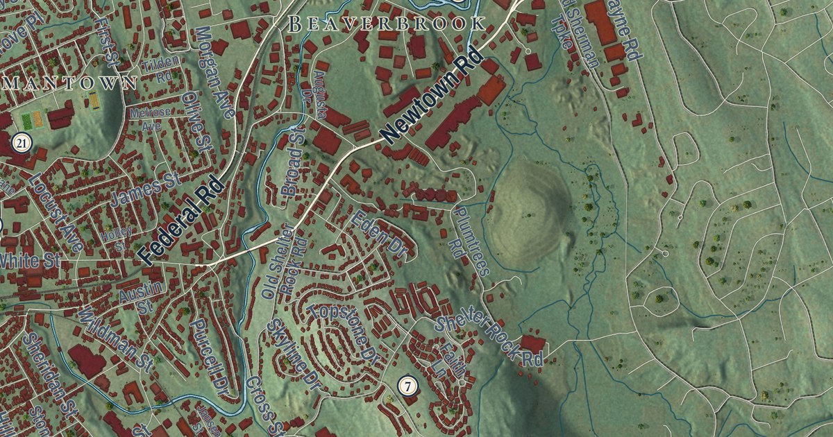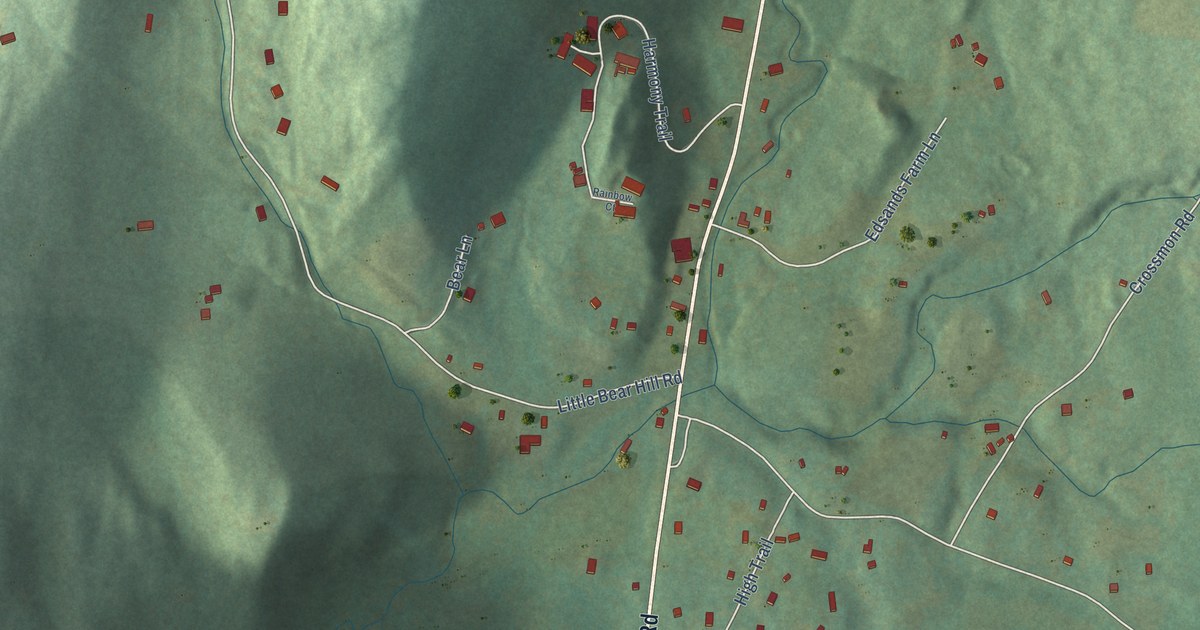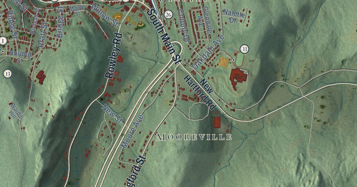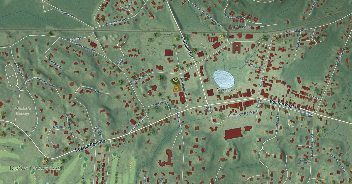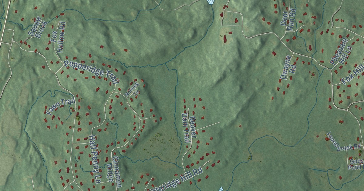
This beautifully detailed map of Old Saybrook, Connecticut was created in 2026 using aerial imagery combined with modern topographical, census, street and landmark data. It’s a one-of-a-kind view of Old Saybrook that combines accurate data with a vintage aesthetic. The map shows every building in its true location, many of the roads carry their names, and the shaded topographic relief shows the shape of the land.
See it on a wall
The Old Saybrook map as an 18 x 24 inch print in a black frame.

Explore an aerial view of Old Saybrook, Connecticut
On the map you’ll find Downtown, Otter Cove Estates, Fenwick, Cornfield Park, Fenwood, Ayers Point, Beacon Hill, Calves Island, Calves Island Bar, Birch Millpond, Chalkers Millpond, Clark Community Park, and more. If you look closely you can even find your house accurately drawn in its correct location. Zoom in on the preview to look for yours. Click here to learn more about the history of Old Saybrook.
Take a closer look at the Old Saybrook map
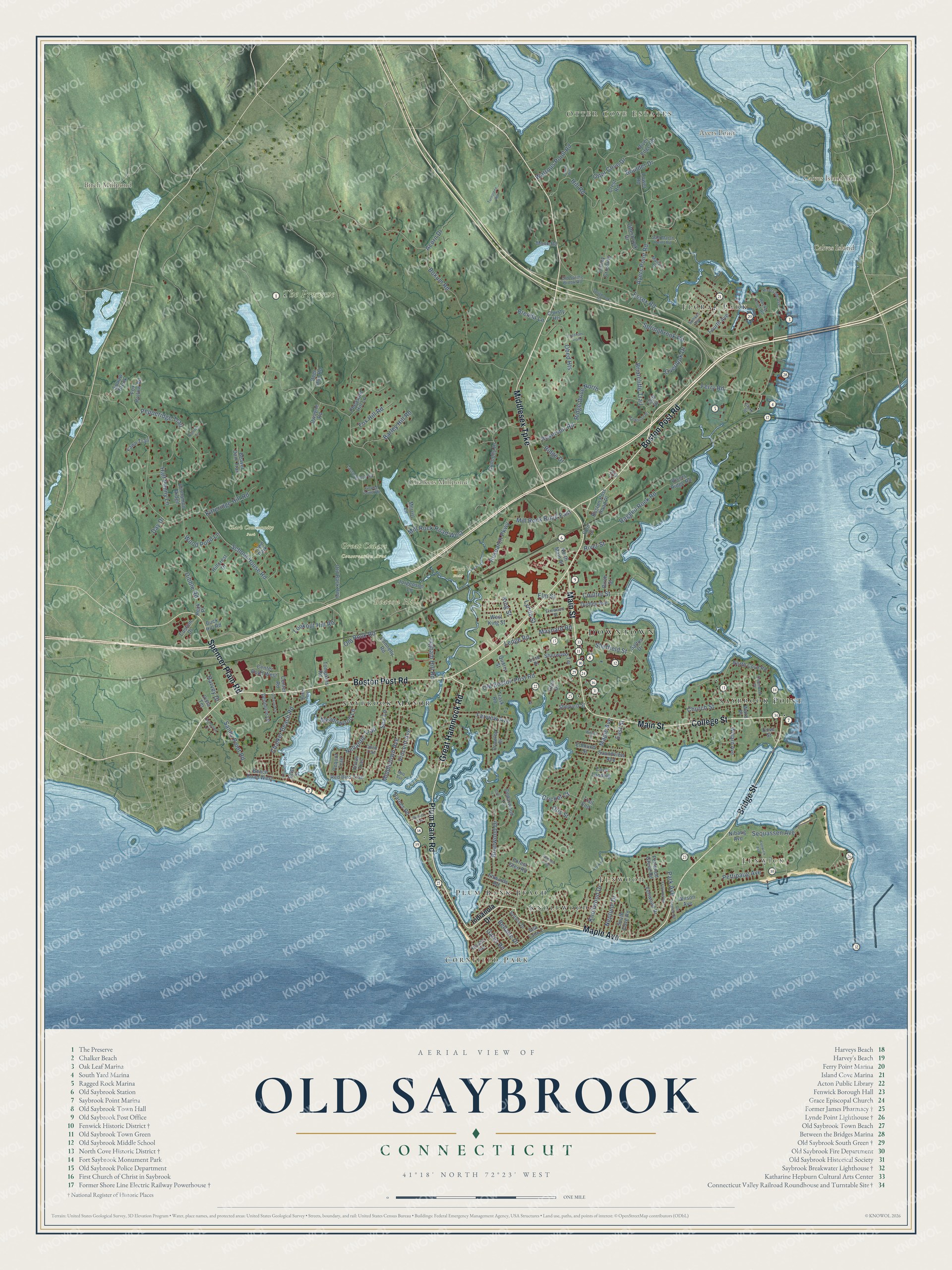
Click to explore a larger preview. The digital watermark does not appear on printed maps.
Names on this map
These names are printed on this map.
Places: Downtown, Otter Cove Estates, Fenwick, Cornfield Park, Fenwood, Ayers Point, Beacon Hill, Calves Island, Calves Island Bar, Birch Millpond, Chalkers Millpond, Clark Community Park, Great Cedars Conservation Area, The Preserve, Clark Field, Floral Park, Saybrook Point, Saybrook Manor, Knollwood, Plum Bank Beach and Town Park.
Streets and roads: Boston Post Road, Middlesex Turnpike, Plum Bank Road, Great Hammock Road, Maple Avenue, Bridge Street, College Street, Main Street, Spencer Plain Road, Mill Rock Road East, Ferry Road, School House Road.
More street names, A to Z
Acorn Drive, Ayers Point Road, Barley Hill Road, Barnes Road, Baum Avenue, Beach Road West, Beaver Dam Trail, Bellaire Drive, Birch Street, Bliss Street, Bokum Road, Boston Post Road Place, Boulder Drive, Brenda Lane, Briarcliffe Trail, Briarwood Drive, Buck Hill Road, Cedarwood Lane, Center Road, Center Road West, Chalker Beach Road, Chandler Street, Christy Heights, Church Street, Cinnamon Ridge, Clark Street, Cliff Drive, Connolly Drive, Coulter Street, Cove Landing, Cove Street, Crest Road, Cricket Court, Cromwell Place, Crowley Drive, Custom Drive, Day Drive, Deer Run Road, Denmore Lane, Dibble Road, Donnelly Road, Dudley Avenue, Dwayne Road, East Street, Edmund Street, Edwards Road, Elm Street, Elmwood Street, Essex Road, Farview Avenue, Fawn Trail, Fenwick Avenue, Fenwood Drive, Fenwood Grove Road, Fenwood Road, Ford Drive, Fordham Trail, Forest Glen Road, Fourth Avenue, Fox Hill Road, Fox Hollow Road, Gates Road, Glen Drive, Goose Pond Road, Gull Lane, Half Penny Lane, Harvey Drive, Heck Place, Hillcrest Drive, Hill Road, Indianola Drive, Ingham Hill Road, Jade Court, Jorgenson Lane, King Street, Kitteridge Hill Road, Knollwood Drive, Laurel Brook Road, Laurel Way, Ledge Road, Lookout Hill Road, Lord Place, Lower Road, Lynde Street, Mallard Drive, Maynard Road, Meadowood Lane, Merritt Lane, Middletown Avenue, Mill Rock Road West, Monk Road, Mott Avenue, Nehantic Trail, Neptune Drive, Nibang Avenue, North Cove Road, North Main Street, Nutmeg Circle, Obed Heights, Obed Trail, Old Back Highway, Old Boston Post Road, Old Fenwick Road, Old Rock Road, Old Spring Brook Road, Orchard Lane, Otis Street, Otterbrook Drive, Otter Cove Drive, Overlook Drive, Park Avenue, Patterson Place, Pepperidge Trail, Pequot Trail, Pettipaug Avenue, Pheasant Hill Lane, Quarry Street, Ragged Rock Road, Red Bird Trail, Research Parkway, Reservoir Road, Ridge Drive, Ridge Drive North, River Edge Road, Riverside Avenue, Rivers Ridge Road, River Street, Rocky Point Road, Saltaire Drive, Salt Marsh Point Road, Saltus Drive, Sandy Point Road, Sea Lane, Sea Lane 2, Sequassen Avenue, Sheffield Street, Shepard Street, Sherwood Terrace, Soundview Avenue, South Cove Road, Sprigbrook Road, Springbrook Road, Sunset Avenue, Thompson Lane, Tompkins Road, Trail End, Trask Road, Trolley Crossing, Turnstone Road, Uncas Road, Uncas Trail, Vincent Avenue, Vista Terrace, Walker Avenue, Ward Place, Watrous Point Road, West King Street, Willard Avenue, Willard Street, Wilson Avenue, Windsor Oval, Wood Pond Lane.
This beautifully detailed map of Old Saybrook makes an attractive addition to your office, library, or den, and it can even be used to teach children the geography and history of the area. It also makes a great gift for anyone with Old Saybrook roots. When you’re done exploring, click here to get your copy of the Old Saybrook map.