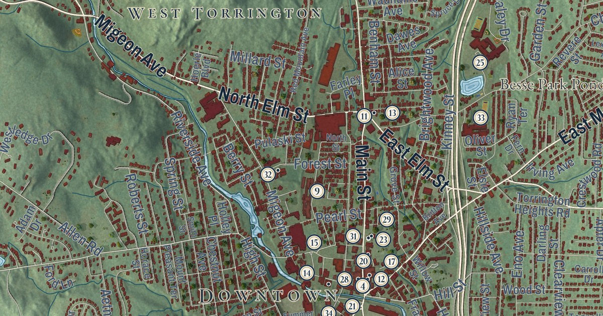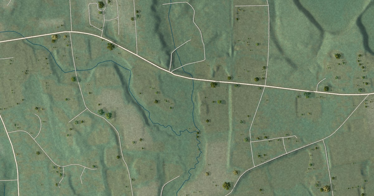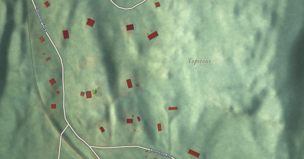
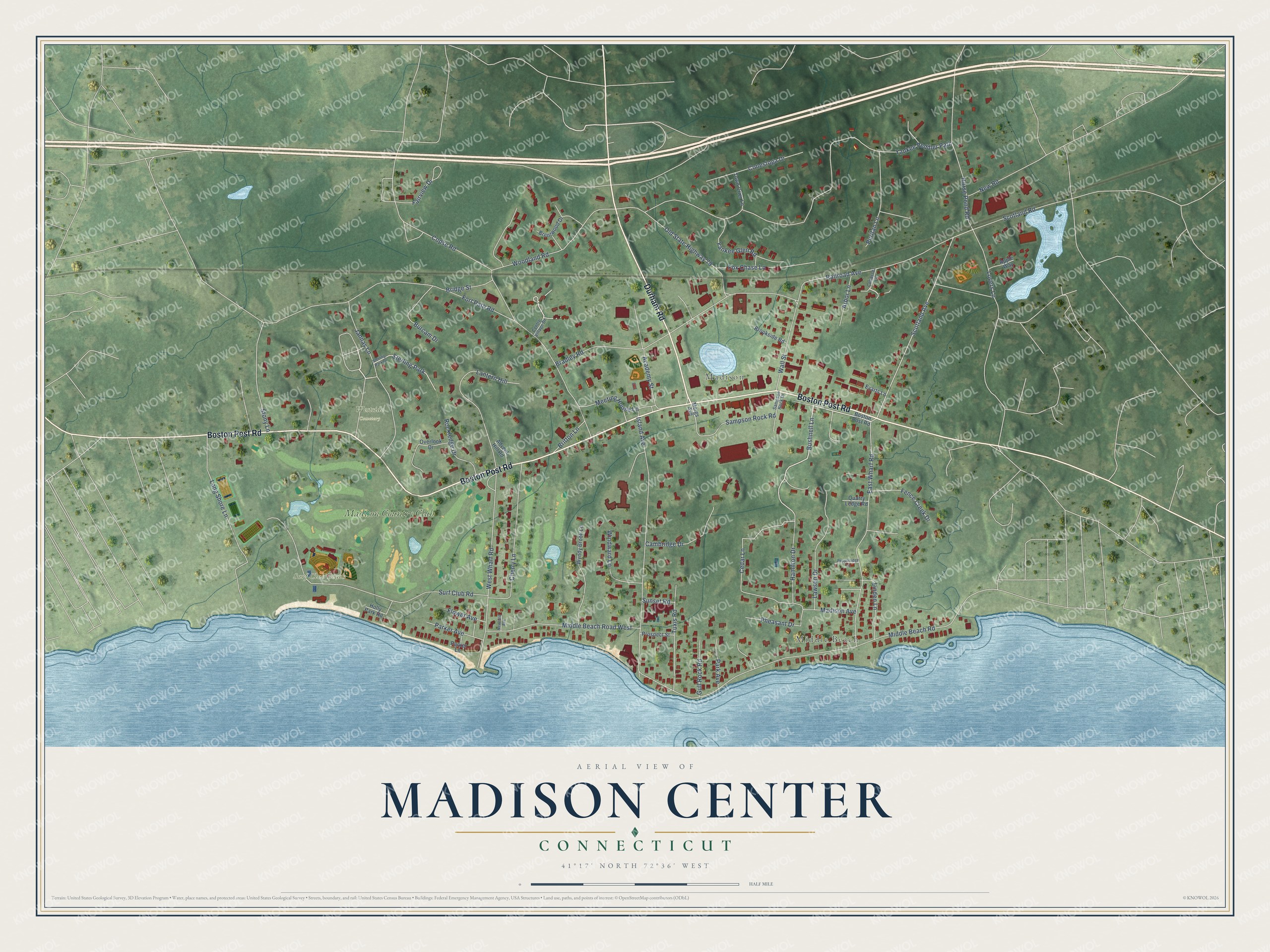
This beautifully detailed map of Madison Center, Connecticut was created in 2026 using aerial imagery combined with modern topographical, census, street and landmark data. It's a modern aerial view of Madison Center in South Central Connecticut Planning Region, Connecticut, that combines modern data with a vintage aesthetic. The roads feature printed names, and if you look closely you can find your exact house accurately shown in its correct location.
Explore an aerial view of Madison Center, Connecticut
On this map you'll find Middle Beach, Madison, Surf Club Beach, Westside Cemetery, Madison Country Club, Boston Post Road, Durham Road, Bushnell Lane, Scotland Avenue, Yankee Peddler Path, Copse Road, Middle Beach Road, and more. Each red shape is a building, so zoom in on the preview and look for yours.
Madison Center is a community in South Central Connecticut Planning Region. The Census Bureau counted 2,250 people here in 2020. Madison Center sits about 4 miles west of Clinton, 4 miles east of Guilford Center and 8 miles west of Westbrook Center. The map prints the town name in its title panel, with the coordinates below it.
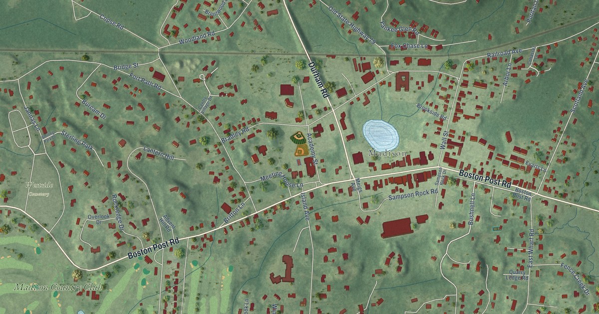
Take a closer look at the Madison Center map
Names on this map
These names are printed on this map.
Places: Middle Beach, Madison, Surf Club Beach, Westside Cemetery, Madison Country Club and Sterling Park.
Streets and roads: Boston Post Road, Durham Road, Bushnell Lane, Scotland Avenue, Yankee Peddler Path, Copse Road, Middle Beach Road, Fort Path Road, Bradley Road, Island Avenue, East Wharf Road, West Wharf Road.
More street names, A to Z
Academy Street, Advent Hill Road, Apple Way, Arbor Lane, Brentwood Drive, Bridge Street, Britton Lane, Brookside Road, Burcam Drive, Cambridge Drive, Cedar Lane, Centre Village Drive, Cherry Lane, Cohasset Lane, Conestoga Drive, Evarts Lane, Fairview Drive, Fence Creek Drive, Flower Avenue, Fox Chase Lane, Gull Rock Road, Hamilton Drive, Holly Park Road, Horse Pond Road, Jannas Lane, Lantern Hill, Lawson Drive, Linden Lane, Long Shore Lane, Lovers Lane, Madison Avenue, Meeting House Lane, Meigs Avenue, Middle Beach Road West, Newfield Avenue, New Road, Old State Highway 79, Overlook Drive, Park Avenue, Parker Avenue, Parker Lane, Pepperridge Lane, Pheasant Drive, Prospect Street, Puritan Lane, Quarry Ledge Road, Railroad Avenue, Rockledge Drive, Sampson Rock Drive, Sampson Rock Road, Scotland Road, Sterling Park Drive, Stony Lane, Sunset Road, Surf Club Road, Town Crier Lane, Tuxis Road, Wall Street, Windward Lane, Woodland Road, Wyndy Brook Lane, Yankee Glen Road.
See it on a wall
The Madison Center map as a framed print. Swipe for more.


Created by KNOWOL in 2026. The buildings are small red shapes, the roads carry their printed names, and shaded relief shows the shape of the land. The title panel reads "AERIAL VIEW OF MADISON CENTER, CONNECTICUT" with 41°17' NORTH 72°36' WEST.
Hang it in the hallway, the office or the cabin, or give it to someone who left Madison Center and still calls it home. Open the preview and look for a street you know. See sizes and frames for the Madison Center map.