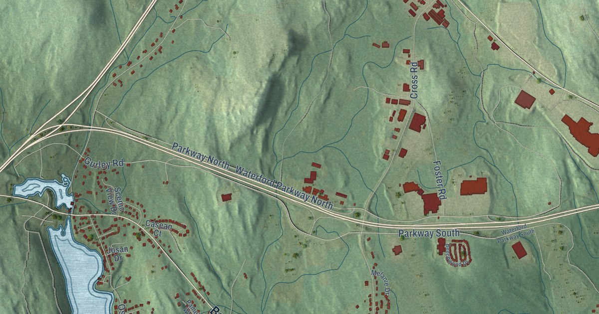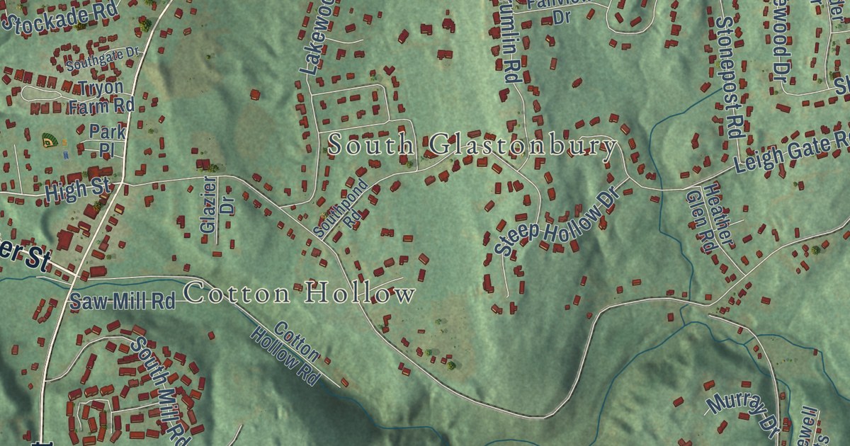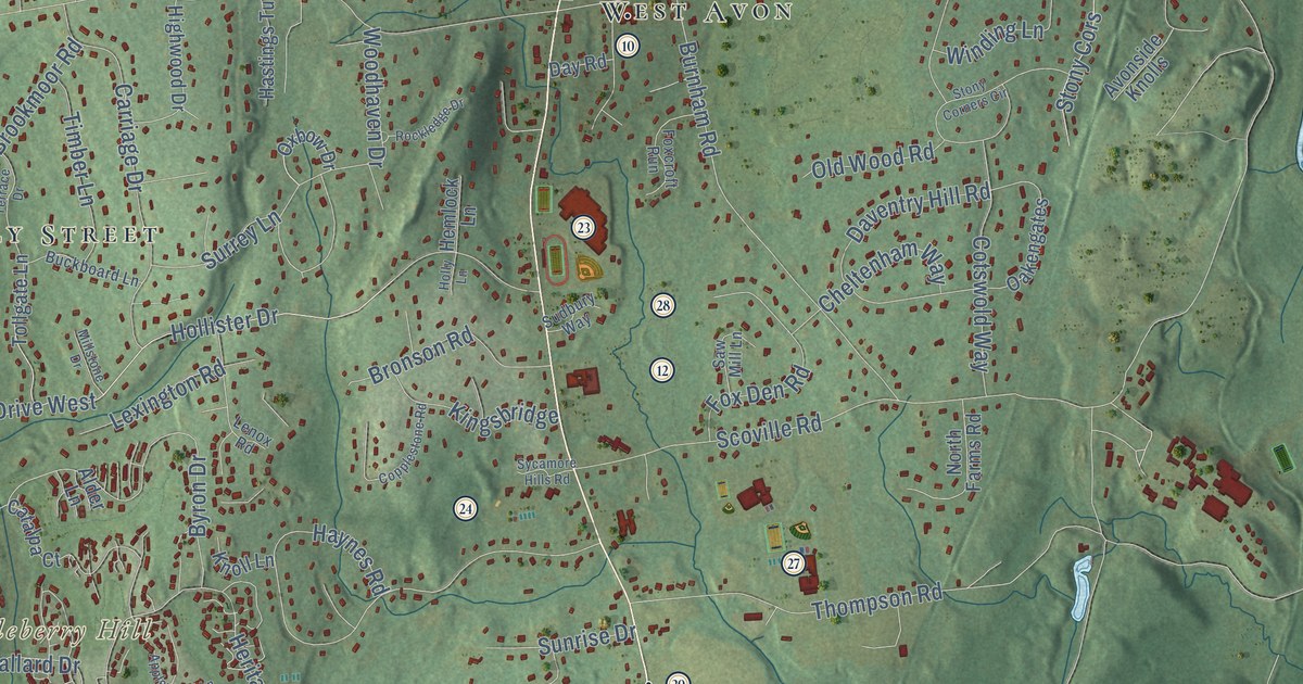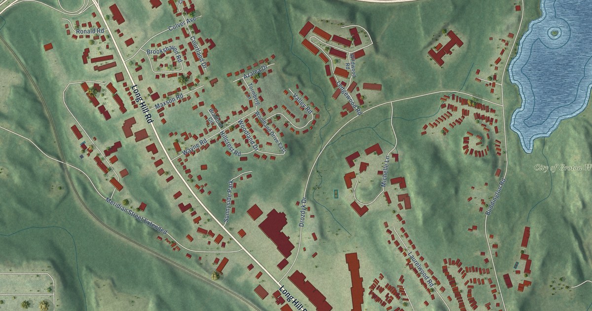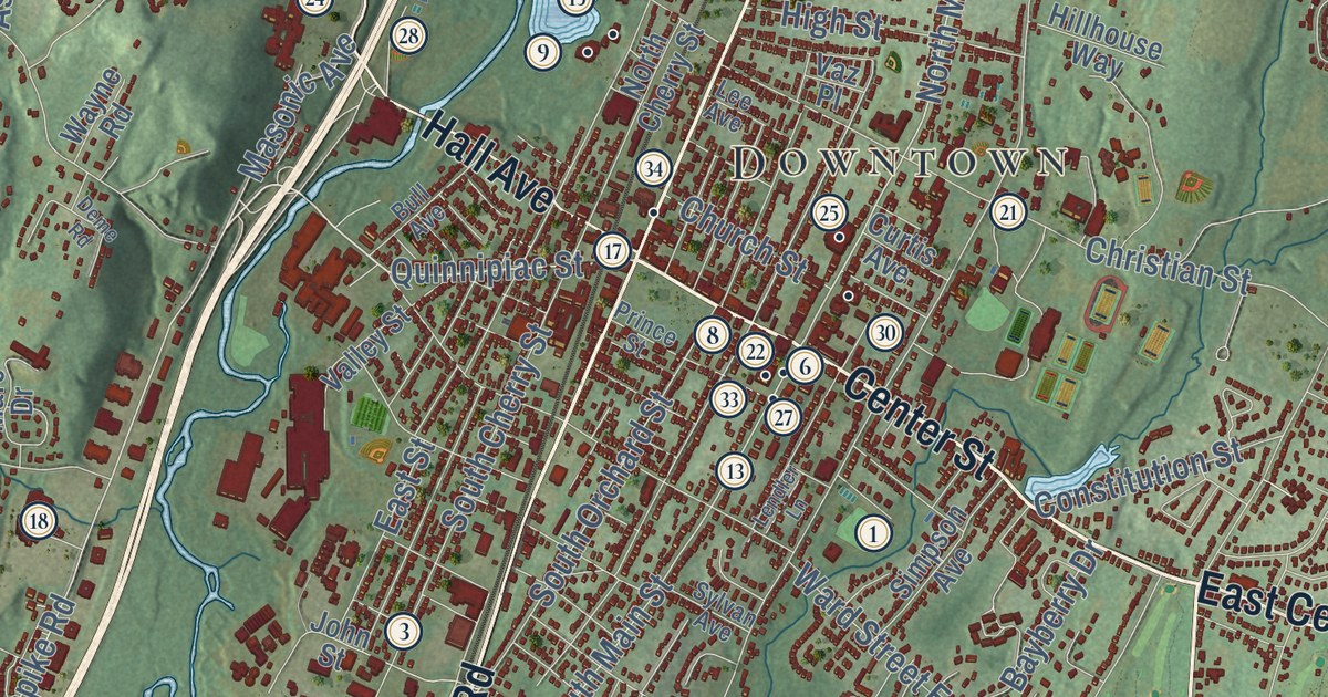
This beautifully detailed map of Wallingford, Connecticut was created in 2026 using aerial imagery combined with modern topographical, census, street and landmark data. It’s a one-of-a-kind view of Wallingford that combines accurate data with a vintage aesthetic. The map shows every building in its true location, many of the roads carry their names, and the shaded topographic relief shows the shape of the land.
See it on a wall
The Wallingford map as an 18 x 24 inch print in a black frame.

Explore an aerial view of Wallingford, Connecticut
On the map you’ll find Downtown, Tracy, Beseck Mountain, Cook Hill, Copper Valley, Beseck Lake, Bishops Pond, Tyler Mill Preserve, Quinnipiac, East Wallingford, and Yalesville, along with North Colony Road, and more. If you look closely you can even find your house accurately drawn in its correct location. Zoom in on the preview to look for yours. Click here to learn more about the history of Wallingford.
Take a closer look at the Wallingford map
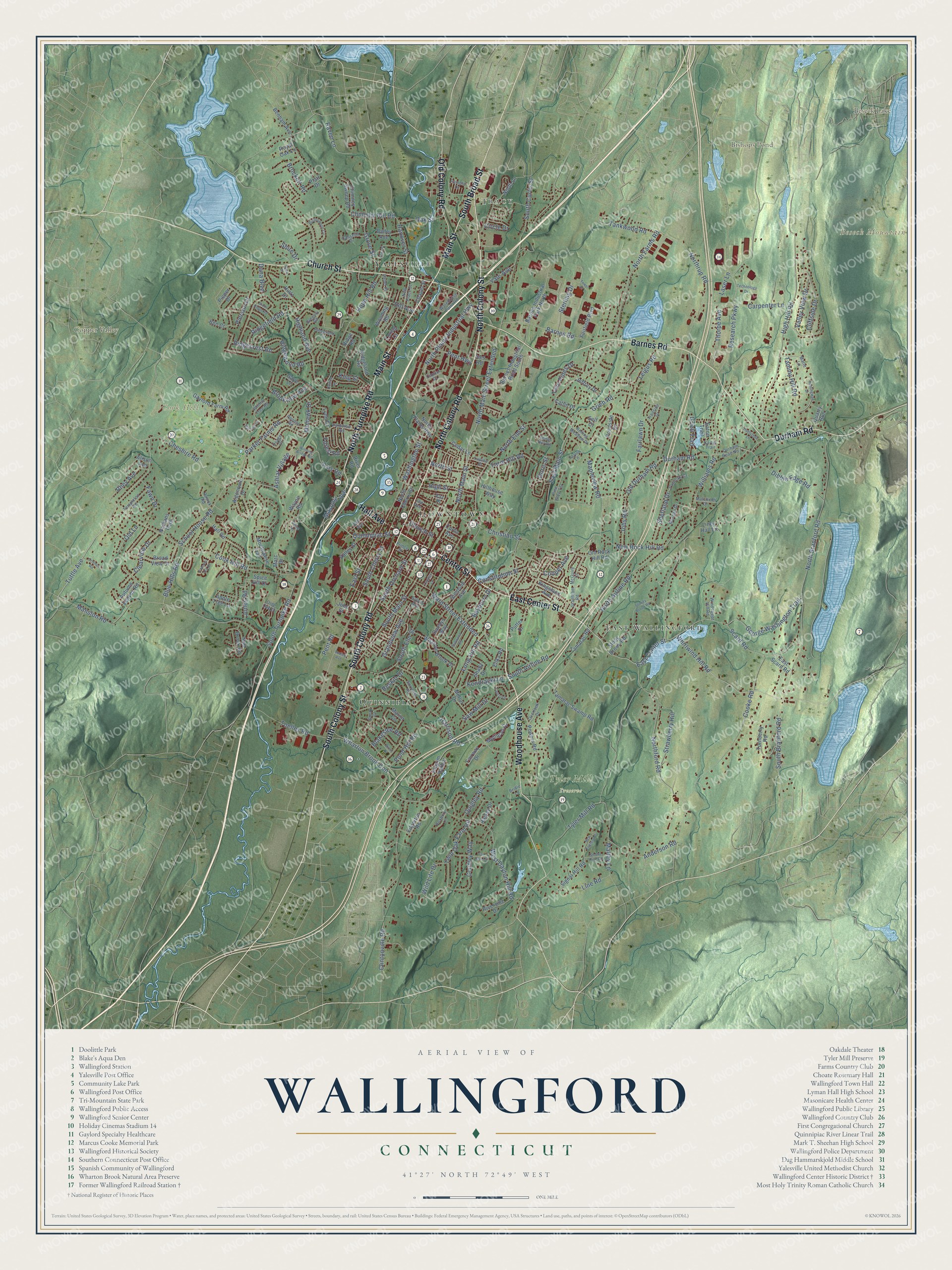
Click to explore a larger preview. The digital watermark does not appear on printed maps.
Names on this map
These names are printed on this map.
Places: Downtown, Tracy, Beseck Mountain, Cook Hill, Copper Valley, Beseck Lake, Bishops Pond, Tyler Mill Preserve, Quinnipiac, East Wallingford and Yalesville.
Streets and roads: North Colony Road, Woodhouse Avenue, South Colony Road, South Colony Street, Main Street, Center Street, East Center Street, North Turnpike Road, Church Street, Barnes Road, South Broad Street, Durham Road.
More street names, A to Z
Algonquin Drive, Alison Avenue, Anderson Road, Apple Tree Lane, Ashlar Village, Autumn Leaves Road, Axis Road, Bailey Avenue, Barnes Industrial Park North, Barnes Industrial Road South, Bayberry Drive, Ben Court, Benham Avenue, Birch Drive, Blakeslee Road, Blue Hills Road, Bridle Lane, Broad View Drive, Brockett Road, Brookview Avenue, Bull Avenue, Buttonwood Circle, Capitol Drive, Carpenter Lane, Carter Trail, Cassella Drive, Catlin Drive, Cedar Lane, Chapel Street, Cheshire Road, Chimney Hill Road, Chimney Sweep Road, Christian Street, Circle Drive, Clearview Drive, Cliffside Drive, Clintonville Road, Colonial Hill Drive, Constitution Street, Cooke Road, Cook Hill Road, Cooper Avenue, Country Way, Curtis Avenue, Dana Boulevard, Dannys Way, Deme Road, Dibble Edge Road, Doris Street, Dudley Avenue, Durham Road No 1, East Main Street, East Scard Road, East Street, Eaton Trail, Edgerton Road, Elika Road, Fairfield Boulevard, Fairlawn Drive, Fairway Drive, Farm Hill Road, Fawn Drive, Forest Road, Fox Run Drive, Fritz Place, Gaye Lane, Gaylord Farm Road, George Washington Trail, Grandview Avenue, Grantham Road, Gregory Road, Grieb Road, Grieb Trail, Grove Street, Hall Avenue, Haller Place, Hall Road, Halsey Drive, Hanover Street, Harnish Lane, Harrison Road, Hemingway Drive, High Hill Road, Highland Avenue, High Street, Hill Avenue, Hillhouse Way, Hintz Drive, Hope Hill Road, Huelstede Lane, Ives Road, Jeffrey Drive, Jobs Road, John Street, Jones Road, Kingsland Avenue, King Street, Kondracki Lane, Laser Lane, Laurel Drive, Lee Avenue, Leigus Road, Lendler Lane, Line Road, Liney Hall Lane, Long Hill Road, Loring Court, Lupine Street, Lynn Drive, Malchiodi Drive, Maltby Lane, Mansion Road, Mapleview Road, Marc Drive, Marie Lane, Mariot Circle, Masonic Avenue, McGuire Court, Mellor Drive, Mohawk Drive, Montowese Trail, Morgan Drive, Mulligan Drive, Nathans Path, New England Drive, New Place Street, New Rock Hill Road, Nod Brook Road, North Airline Road, North Branford Road, North Cherry Street, North Colony Street, North Elm Street, North Farms Road, Northford Road, North Lane, North Main Street, North Main Street Extended, North Plains Highway, North Plains Industrial Highway, Northrup Road, North Street, Oak Street, Old Colony Road, Old Durham Road, Olde Oak Drive, Old Lane, Old Rock Hill Road, Ortense Road, Osage Drive, Overlook Drive, Pamela Drive, Parker Farms Road, Parkview Road, Patricks Court, Pent Highway, Pent Road, Pequot Road, Pieper Drive, Pierson Drive, Pilgrim Harbor, Pine Glen Terrace, Platt Drive, Pond Hill Road, Pondside Drive, Powers Road, Prince Street, Putter Drive, Quarry Run, Quigley Road, Quince Street, Quinnipiac Street, Raven Lane, Research Parkway, Reskin Drive, Rhey Avenue, Ridgecrest Road, Ridgefield Road, Ridgeland Circle, Ridgeland Road, Ridge Road, Ridgewood Road, River Road, Riverside Drive, Rolling Meadow Drive, Rosick Road, Roxbury Lane, Royal Oak Lane, Ryan Drive, Saw Mill Drive, Scard Road, School House Road, Seiter Hill Road, Self Court, Shady Drive, Shetland Drive, Shire Drive, Signal Hill Road, Simpson Avenue, Sixth Ridge Road, Smoke Rise Road, Sorrento Road, South Airline Road, South Branford Road, South Cherry Street, South Curtis Street, South Elm Street, South Main Street, South Orchard Street, South Turnpike Road, Spice Hill Drive, Sterling Drive, Stillwood Road, Stoney Brook Road, Stony Brook Road, Strawberry Hill, Sunny Court, Sylvan Avenue, Tamarac Road, Tamarac Swamp Road, Tammy Hill Road, Tankwood Road, Taylor Lane, Technology Drive, Templeton Road, Thorpe Avenue, Toelles Road, Tower Drive, Trailside Drive, Turnberry Road, Tuttle Avenue, Twin Oak Farm Road, Twin Pines Drive, Tyler Mill Road, Valley Street, Valley View Drive, Vaz Place, Ward Street Extended, Warehouse Point Road, Washington Street, Wayne Road, West Dayton Hill Road, Wharton Brook Con, Wharton Brook Drive, Whiffle Tree Road, Whirlwind Hill Road, Wild Life Drive, Williams Road, Winding Bridge Road, Windswept Hill Road, Wooding Road, Yale Avenue.
This beautifully detailed map of Wallingford makes an attractive addition to your office, library, or den, and it can even be used to teach children the geography and history of the area. It also makes a great gift for someone who left Wallingford and still calls it home. When you’re done exploring, click here to get your copy of the Wallingford map.