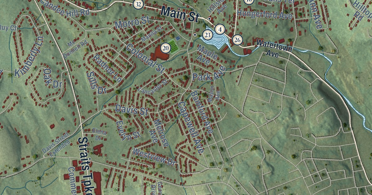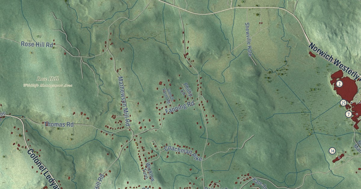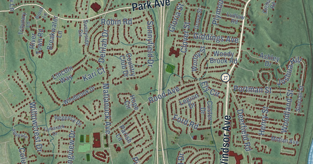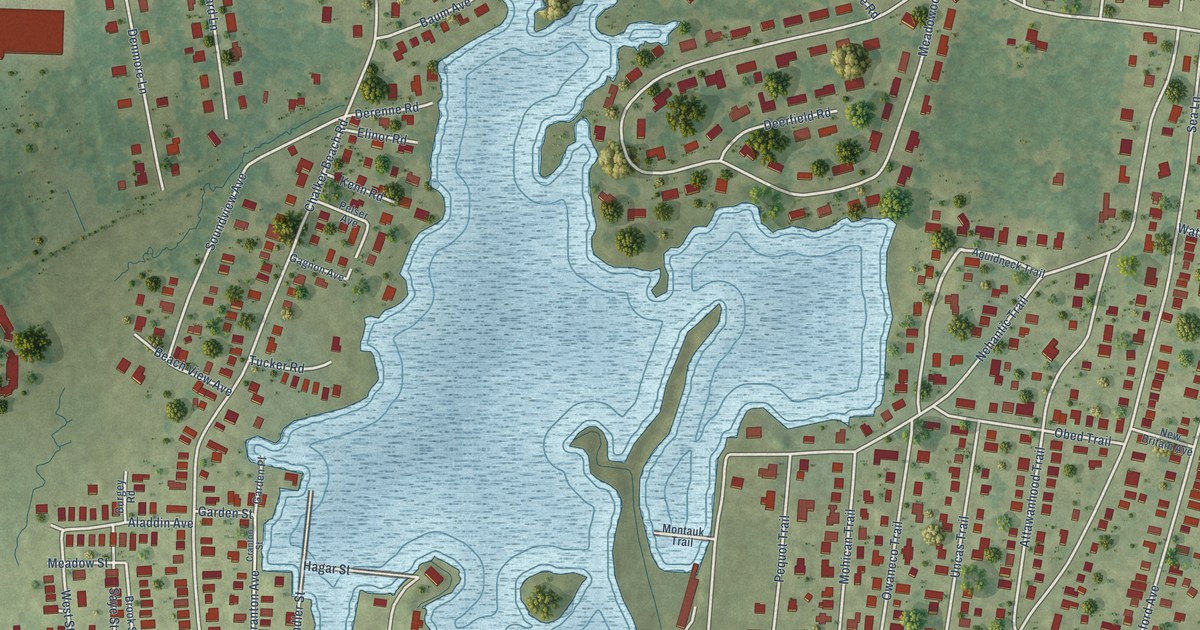
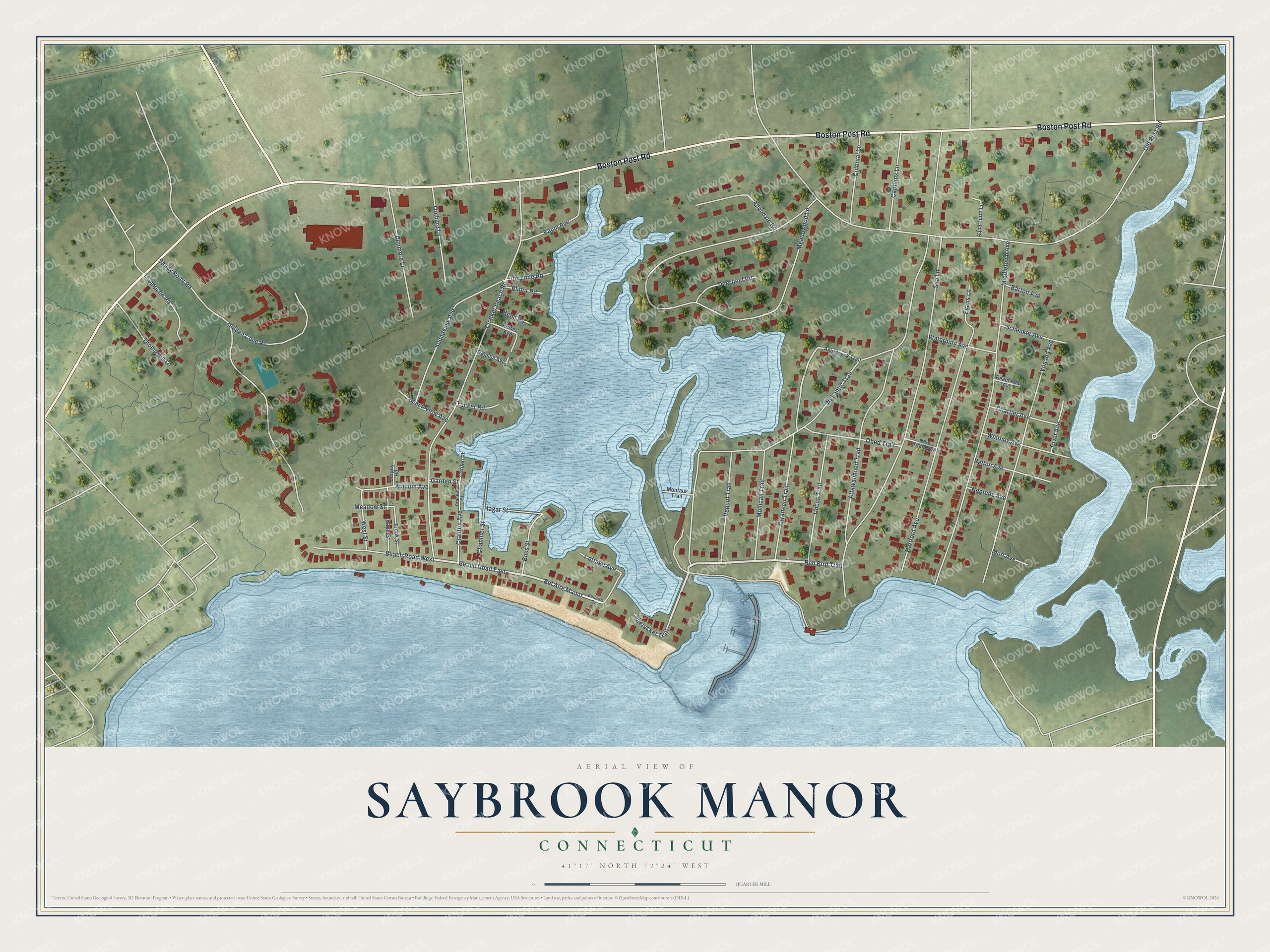
This beautifully detailed map of Saybrook Manor, Connecticut was created in 2026 using aerial imagery combined with modern topographical, census, street and landmark data. It's a modern aerial view of Saybrook Manor in Lower Connecticut River Valley Planning Region, Connecticut, that combines modern data with a vintage aesthetic. The roads feature printed names, and if you look closely you can find your exact house accurately shown in its correct location.
Explore an aerial view of Saybrook Manor, Connecticut
On this map you'll find Boston Post Road, Red Bird Trail, Nehantic Trail, Beach Road East, Bel Aire Manor, Owaneco Trail, Old Post Road, Meadowood Lane, Chalker Beach Road, Middletown Avenue, Sea Lane, Sandy Point Road, and more. Each red shape is a building, so zoom in on the preview and look for yours.
Saybrook Manor is a community in Lower Connecticut River Valley Planning Region. The Census Bureau counted 1,172 people here in 2020. Saybrook Manor sits about 2 miles east of Westbrook Center, 3 miles west of Old Saybrook Center and 3 miles west of Fenwick. The map prints the town name in its title panel, with the coordinates below it.
Take a closer look at the Saybrook Manor map
Names on this map
These names are printed on this map.
Streets and roads: Boston Post Road, Red Bird Trail, Nehantic Trail, Beach Road East, Bel Aire Manor, Owaneco Trail, Old Post Road, Meadowood Lane, Chalker Beach Road, Middletown Avenue, Sea Lane, Sandy Point Road.
More street names, A to Z
Aladdin Avenue, Allendale Road, Aqua Terra Lane, Aquidneck Trail, Attawanhood Trail, Barton Avenue, Baum Avenue, Beachman Avenue, Beach Road West, Beach View Avenue, Bellaire Drive, Bliss Street, Brook Street, Burgey Road, Captains Lane, Chandler Street, Chartier Avenue, Colonial Lane, Cottage Avenue, Cranton Avenue, Cranton Street, Deerfield Road, Denmore Lane, Derenne Road, Elinor Road, Evans Lane, Gagnon Avenue, Garden Place, Garden Street, Hagar Street, Hartford Avenue, Hidden Cove Road, Kenn Road, Meadow Street, Mohican Trail, Montauk Trail, Mott Avenue, Neptune Avenue, New Britain Avenue, Obed Trail, Orchard Lane, Pelser Avenue, Pelton Avenue, Pequot Trail, River Avenue, Saye Street, Schenker Avenue, Shetucket Trail, Soundview Avenue, Thompson Lane, Thompson Road, Tucker Road, Uncas Trail, Vincent Avenue, Waterbury Avenue, West Street, Whitney Avenue.
See it on a wall
The Saybrook Manor map as a framed print. Swipe for more.


Created by KNOWOL in 2026. The buildings are small red shapes, the roads carry their printed names, and shaded relief shows the shape of the land. The title panel reads "AERIAL VIEW OF SAYBROOK MANOR, CONNECTICUT" with 41°17' NORTH 72°24' WEST.
It looks right in a kitchen, an office or a den, and it's a gift for anyone who grew up in Saybrook Manor or moved away. Open the preview and find your street. See sizes and frames for the Saybrook Manor map.