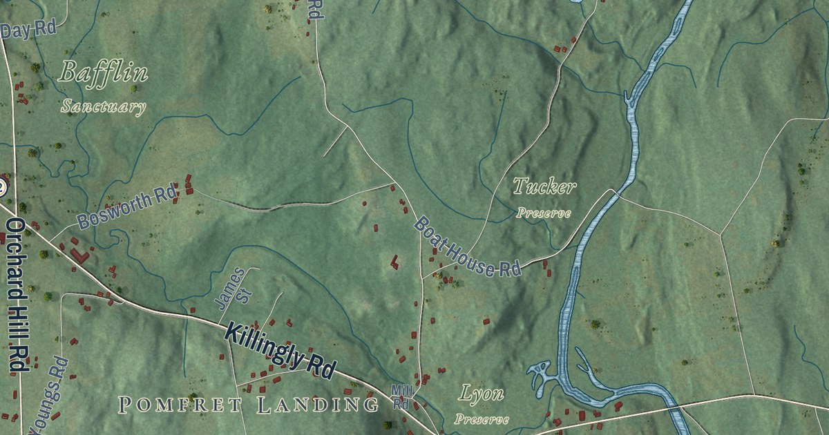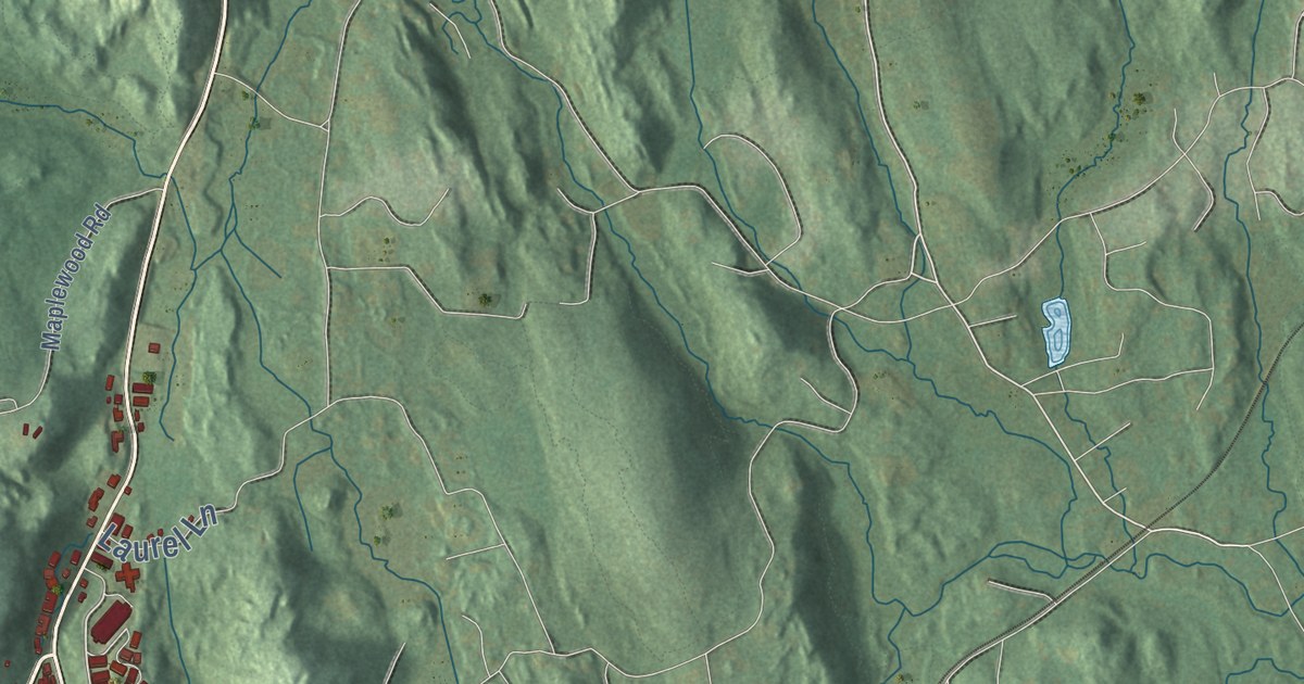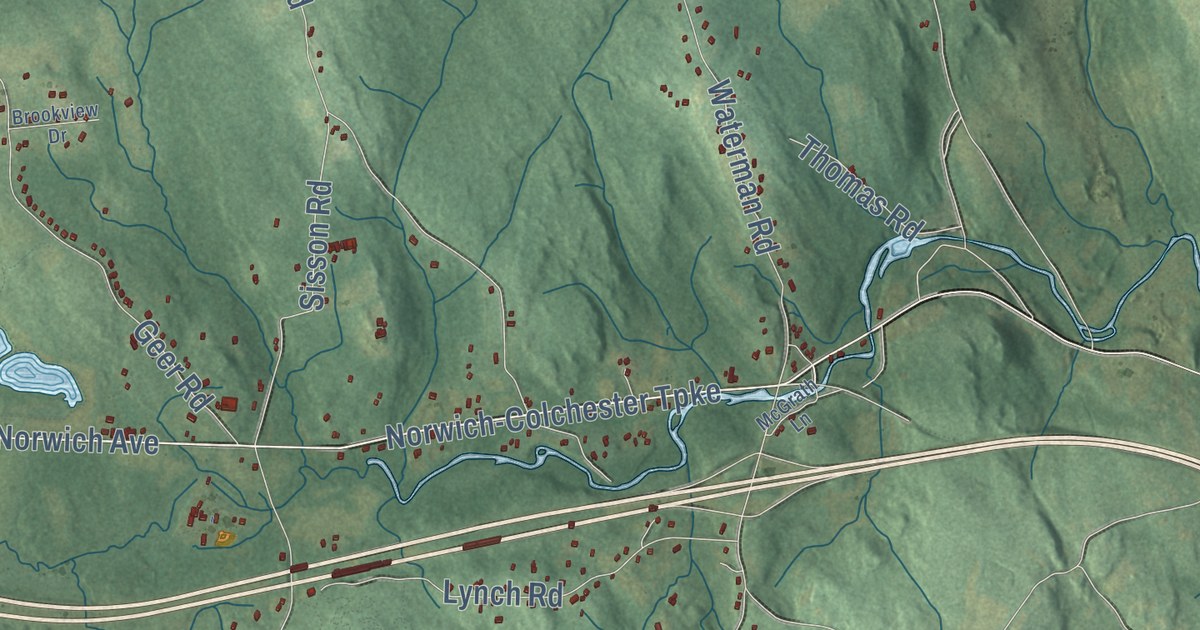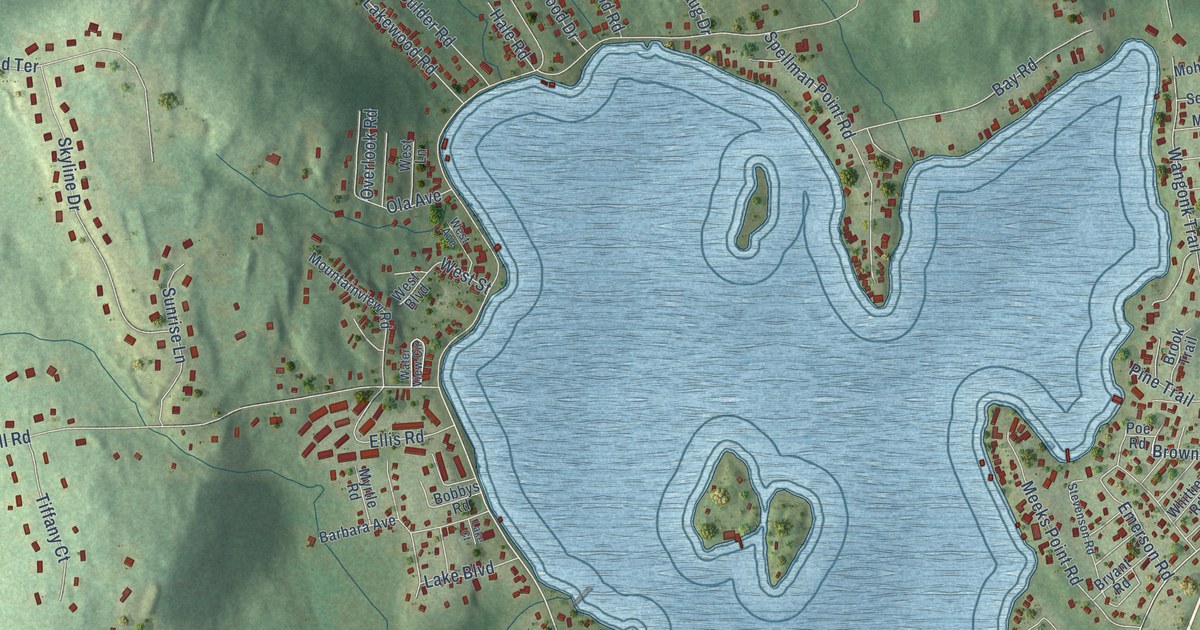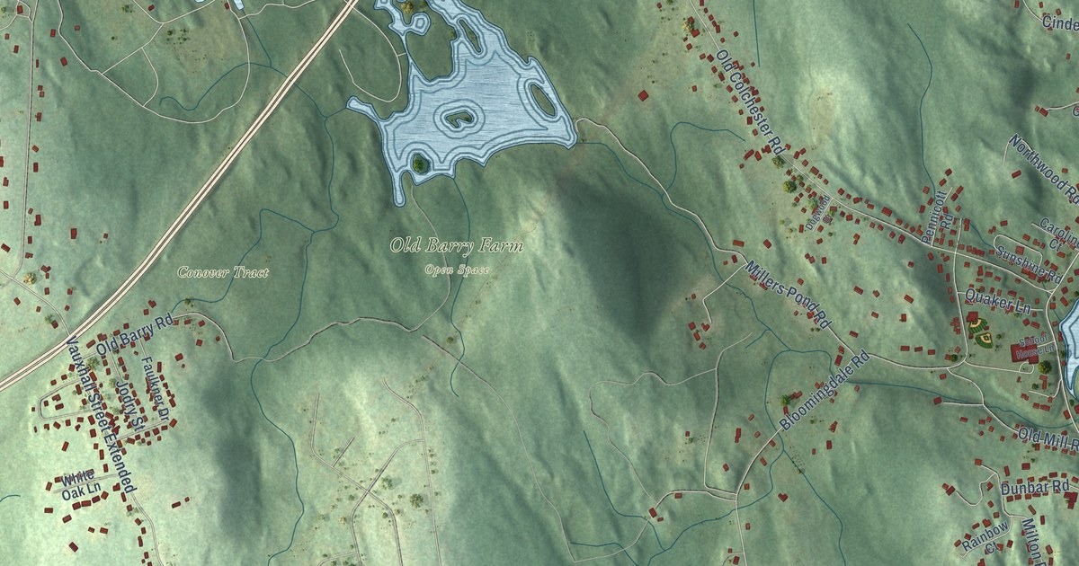
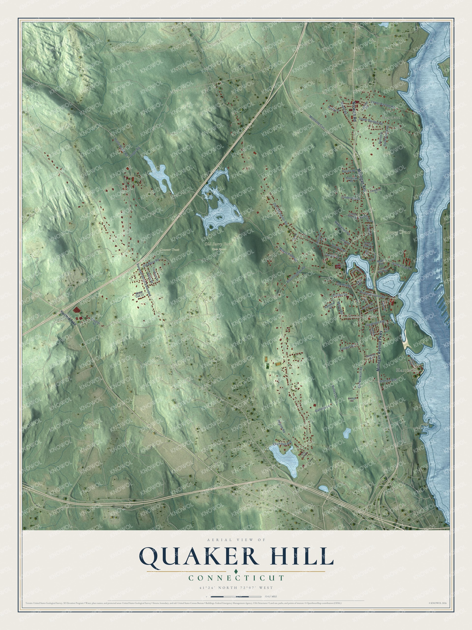
This beautifully detailed map of Quaker Hill, Connecticut was created in 2026 using aerial imagery combined with modern topographical, census, street and landmark data. It’s a one-of-a-kind view of Quaker Hill that combines accurate data with a vintage aesthetic. The map shows every building in its true location, many of the roads carry their names, and the shaded topographic relief shows the shape of the land.
Explore an aerial view of Quaker Hill, Connecticut
On the map you’ll find Bartlett, Harrisons, Thames View, Avery Tract, Conover Tract, Old Barry Farm Open Space, Vauxhall Street Extended, and Montville Con, along with Mohegan Avenue, Norwich Road, Mohegan Avenue Parkway, Old Norwich Road, and more. If you look closely you can even find your house accurately drawn in its correct location. Zoom in on the preview to look for yours.
Did You Know?
From Internet Archive: "The descendants of Edward, Jr., have many of them settled within the boundaries of the original town of Stratford, in Unity, North Stratford, now Trumbull, at Daniel's Farms, Quaker Hill, Bridgeport, &c."
Quaker Hill is a community in Southeastern Connecticut County.
Take a closer look at the Quaker Hill map
Names on this map
These names are printed on this map.
Places: Bartlett, Harrisons, Thames View, Avery Tract, Conover Tract and Old Barry Farm Open Space.
Streets and roads: Mohegan Avenue, Norwich Road, Mohegan Avenue Parkway, Old Norwich Road, Vauxhall Street Extended, Montville Con, Bloomingdale Road, Old Colchester Road, Hunts Brook Road, Bolles Lane, Scotch Cap Road, Upper Bartlett Road.
More street names, A to Z
Bartlett Place, Benham Avenue, Best View Road, Bolles Court, Broad View Court, Burlake Road, Caroline Court, Chapman Avenue, Cinderella Lane, Clark Place, College Court, Decab Lane, Dogwood Drive, Douglas Lane, Dunbar Road, East Lake Drive, Faulkner Drive, Fitzgerald Avenue, Gallows Lane, Hartford Turnpike, Hempstead Drive, James Avenue, Jodry Street, Ladley Road, Lathrop Road, Laurel Glen Road, Lower Bartlett Road, Maple Avenue, Maple Road, Marguy Street, May Avenue, Miller Avenue, Millers Pond Road, Milton Road, Northwood Road, Old Barry Road, Old Mill Road, Pennicott Road, Pilgrim Road, Porter Street, Quaker Lane, Rainbow Court, Richards Grove Road, Rosemary Lane, Roxwood Road, School House Lane, Senkow Drive, South Bartlett Road, Sunshine Road, Totoket Road, Tyler Place, Uncas Avenue, Unger Road, White Oak Lane, Wilson Avenue, Wintergreen Drive.
See it on a wall
The Quaker Hill map as a framed print. Swipe for more.


This beautifully detailed map of Quaker Hill makes an attractive addition to your office, library, or den, and it can even be used to teach children the geography and history of the area. It also makes a great gift for anyone who grew up in Quaker Hill or moved away. When you’re done exploring, click here to get your copy of the Quaker Hill map.