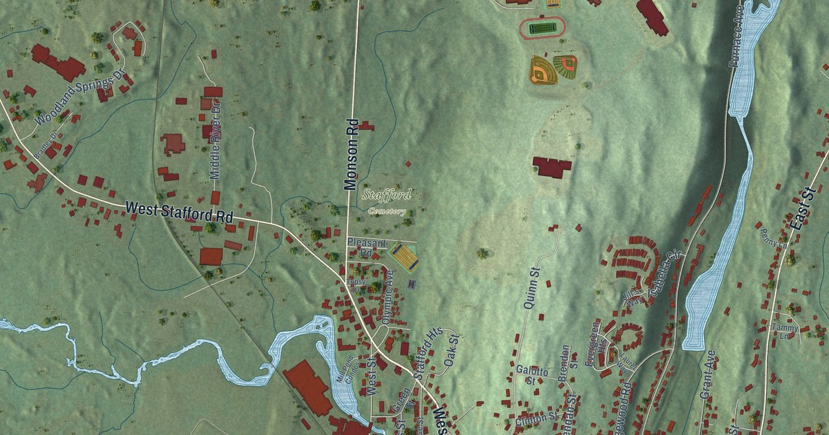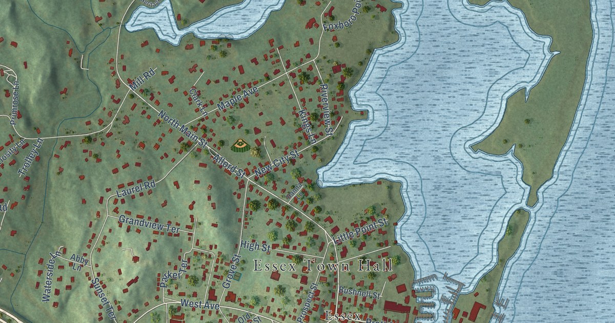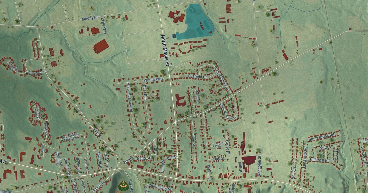
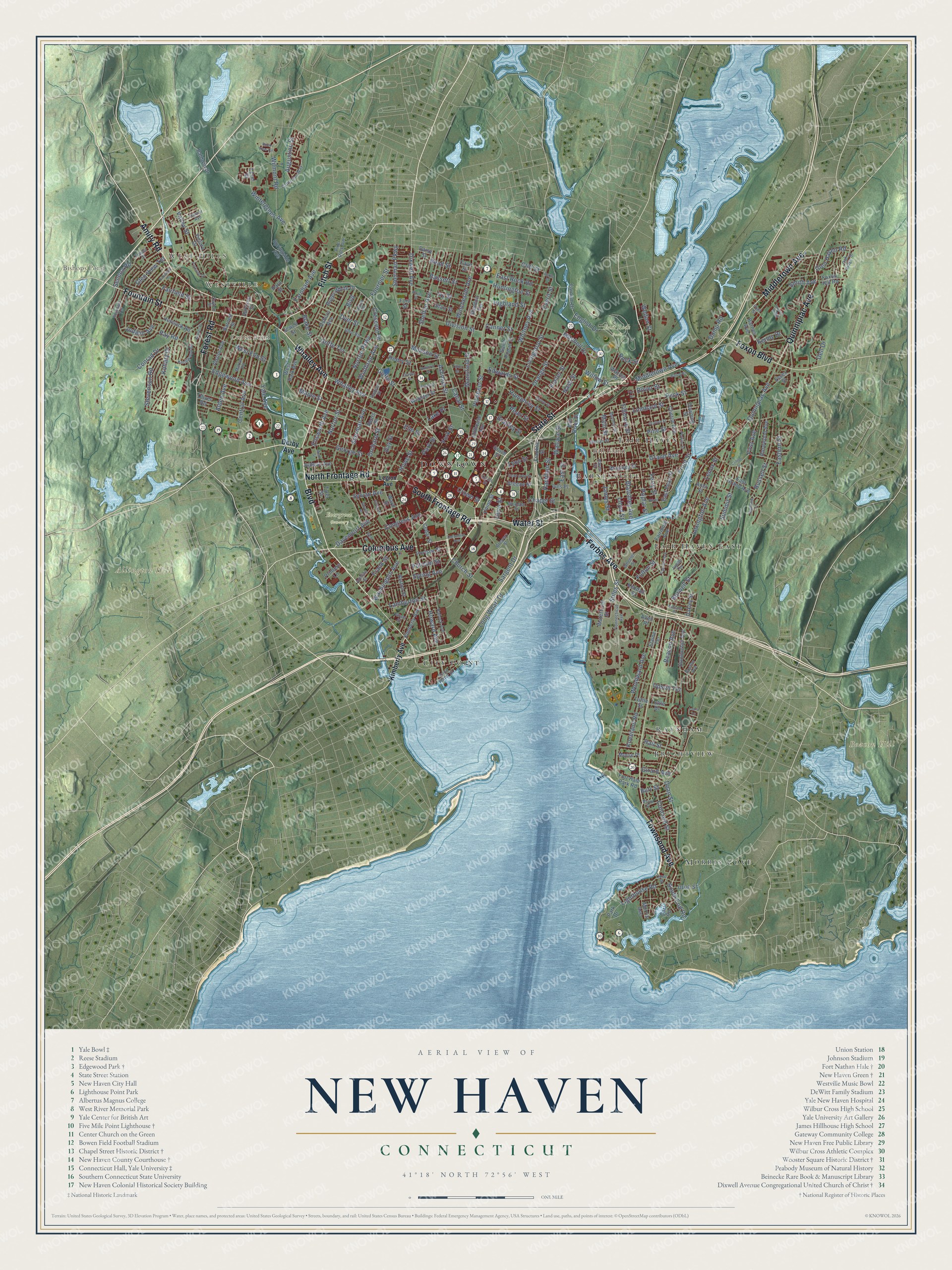
This beautifully detailed map of New Haven, Connecticut was created in 2026 using aerial imagery combined with modern topographical, census, street and landmark data. It’s a one-of-a-kind view of New Haven that combines accurate data with a vintage aesthetic. The map shows every building in its true location, many of the roads carry their names, and the shaded topographic relief shows the shape of the land.
See it on a wall
The New Haven map as an 18 x 24 inch print in a black frame.

Explore an aerial view of New Haven, Connecticut
On the map you’ll find Downtown, West Hills, Westville, Allington Hill, Ball Island, Beacon Hill, Bishops Pond, Center Pond, East Rock Park, Evergreen Cemetery, Morris Cove, Raynham, and more. If you look closely you can even find your house accurately drawn in its correct location. Zoom in on the preview to look for yours. Click here to learn more about the history of New Haven.
Take a closer look at the New Haven map
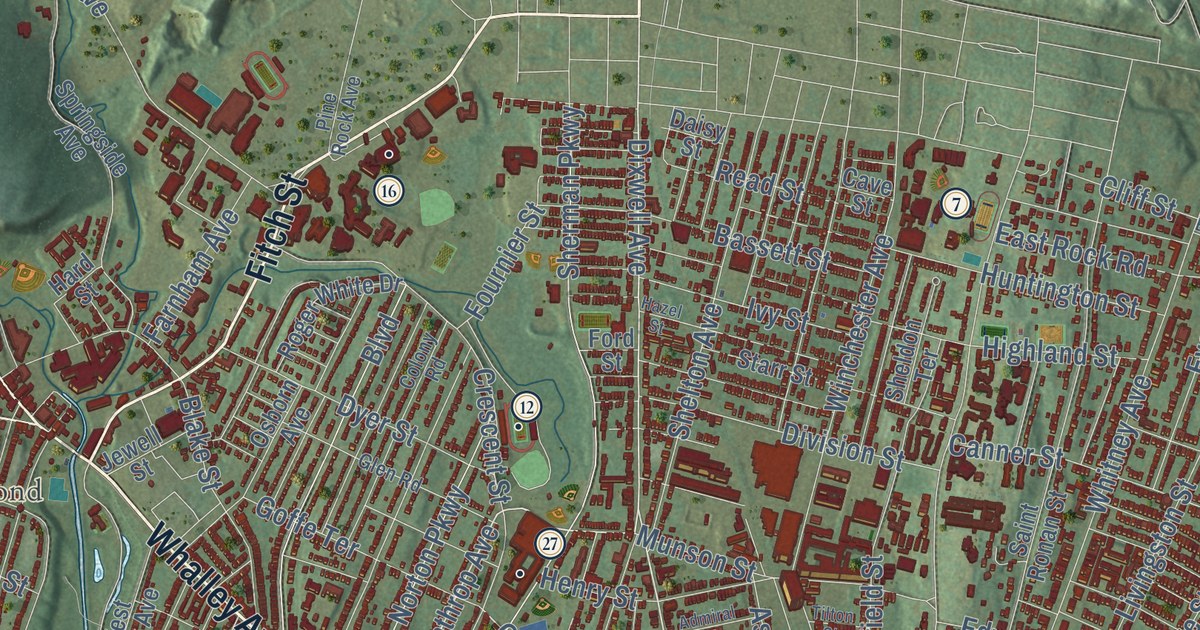
Click to explore a larger preview. The digital watermark does not appear on printed maps.
Names on this map
These names are printed on this map.
Places: Downtown, West Hills, Westville, Allington Hill, Ball Island, Beacon Hill, Bishops Pond, Center Pond, East Rock Park, Evergreen Cemetery, Morris Cove, Raynham, City Point, Fair Haven, Fair Haven East, Brightview and Barnesville.
Streets and roads: State Street, Boulevard, North Frontage Road, Columbus Avenue, Amity Road, Whalley Avenue, Fitch Street, Townsend Avenue, Fountain Street, Forbes Avenue, Quinnipiac Avenue, Forest Road.
More street names, A to Z
Adeline Street, Admiral Street, Alden Avenue, Allen Place, Alston Avenue, Aner Street, Ashland Place, Ashmun Street, Augustine Street, Bailey Street, Baldwin Drive, Barnes Avenue, Barnett Street, Bassett Street, Beacon Avenue, Beers Street, Bishop Street, Blake Street, Blatchley Avenue, Boston Avenue, Bradley Street, Brewery Street, Burns Street, Burr Street, Burwell Street, Button Street, Canal Street, Canner Street, Cart Road, Catherine Way, Cave Street, Cedar Street, Central Avenue, Chapel Street, Charles Street, Church Street, Cliff Street, Clifton Street, Clinton Avenue, Colony Road, Concord Street, Congress Avenue, Connecticut Avenue, Conrad Drive, Court Street, Cove Street, Crescent Street, Crown Street, Daisy Street, Davenport Avenue, Day Street, Dayton Street, Dean Street, Dell Drive, Derby Avenue, Division Street, Dixwell Avenue, Dover Street, Downing Street, Dump Road, Dyer Street, Eastern Street, East Grand Avenue, East Pearl Street, East Rock Road, East Street, Edgewood Avenue, Edwards Street, Elaine Terrace, Elliott Street, Ellsworth Avenue, Elm Street, English Drive, Essex Street, Everit Street, Fairfield Street, Fairmont Avenue, Farnham Avenue, Farnum Drive, Farren Avenue, Ferry Street, Fillmore Street, First Avenue, Flint Street, Foote Street, Ford Street, Fort Hale Park Road, Foster Street, Fountain Terrace, Fournier Street, Fowler Street, Foxon Boulevard, Foxon Hill Road, Fox Street, Franklin Street, Frank Street, Front Street, Fulton Street, George Street, Girard Avenue, Glen Haven Road, Glen Road, Glen View Terrace, Goffe Street, Goffe Terrace, Grafton Street, Grand Avenue, Grant Street, Greene Street, Grove Street, Hallock Avenue, Hall Street, Hamilton Street, Hard Street, Harper Avenue, Harrison Street, Haven Street, Hazel Street, Hemlock Road, Henry Street, Highland Street, Highview Lane, Hillhouse Avenue, Howard Avenue, Howe Street, Hudson Street, Humphrey Street, Huntington Avenue, Huntington Street, Ives Place, Ivy Street, James Street, Jewell Street, Judith Terrace, Judson Avenue, Judwin Avenue, Kendall Street, Kenny Drive, Kenter Place, Kimberly Avenue, Kneeland Road, Knollwood Drive, Kohary Drive, Lake Place, Lamberton Street, Laura Lane, Legion Avenue, Lenox Street, Level Street, Lexington Avenue, Lighthouse Road, Livingston Street, Lloyd Street, Lombard Street, Long Wharf Drive, Lyon Street, Main Street, Mansfield Street, Maple Street, Market Street, Marvel Road, Mead Street, Middletown Avenue, Mill River Street, Mitchell Drive, Monroe Street, Morris Avenue, Morse Place, Munson Street, Myron Street, Nash Street, Norton Parkway, Norton Street, Oakley Street, Oak Ridge Drive, Oliver Road, Olive Street, Orange Street, Orchard Street, Osborn Avenue, Park Drive, Parkside Drive, Park Street, Pearl Street, Peck Street, Perkins Street, Pine Rock Avenue, Pine Street, Poplar Street, Portsea Street, Printers Lane, Prospect Street, Putnam Street, Ramsdell Street, Ray Road, Read Street, River Street, Rock Street, Rock View Circle, Roger White Drive, Rosewood Avenue, Russell Street, Saint John Street, Saint Ronan Street, Sargent Drive, Seneca Road, Sheldon Terrace, Shelton Avenue, Sherman Avenue, Sherman Parkway, Smith Avenue, South End Road, South Frontage Road, South Water Street, Spring Avenue, Springside Avenue, Starr Street, Stevenson Road, Stevens Street, Stiles Street, Summit Street, Sunset Ridge, Sylvan Avenue, Tilton Street, Tuttle Drive, Tuttle Street, Tyler Street, Union Street, Upson Terrace, Uriah Street, Valley Street, Victory Drive, Wallace Street, Ward Street, Warren Place, Washington Avenue, Waterfront Street, Water Street, Webster Street, Welton Street, West Elm Street, West Park Avenue, West Street, Wheeler Street, Whitney Avenue, Willow Street, Wilmont Road, Winchester Avenue, Wintergreen Avenue, Winthrop Avenue, Woodward Avenue, Woolsey Street, Wooster Street, Yale Avenue, York Street.
This beautifully detailed map of New Haven makes an attractive addition to your office, library, or den, and it can even be used to teach children the geography and history of the area. It also makes a great gift for anyone who grew up in New Haven or moved away. When you’re done exploring, click here to get your copy of the New Haven map.