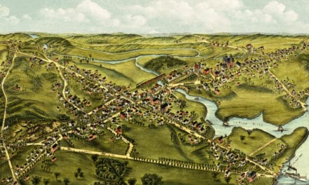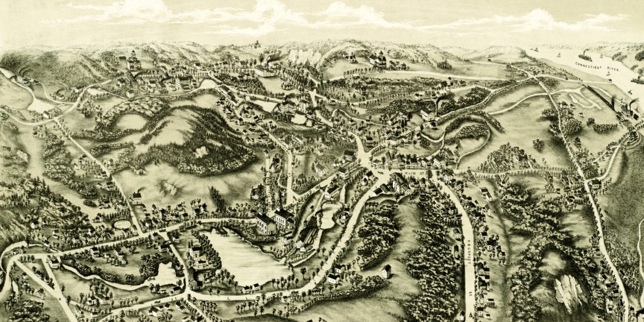
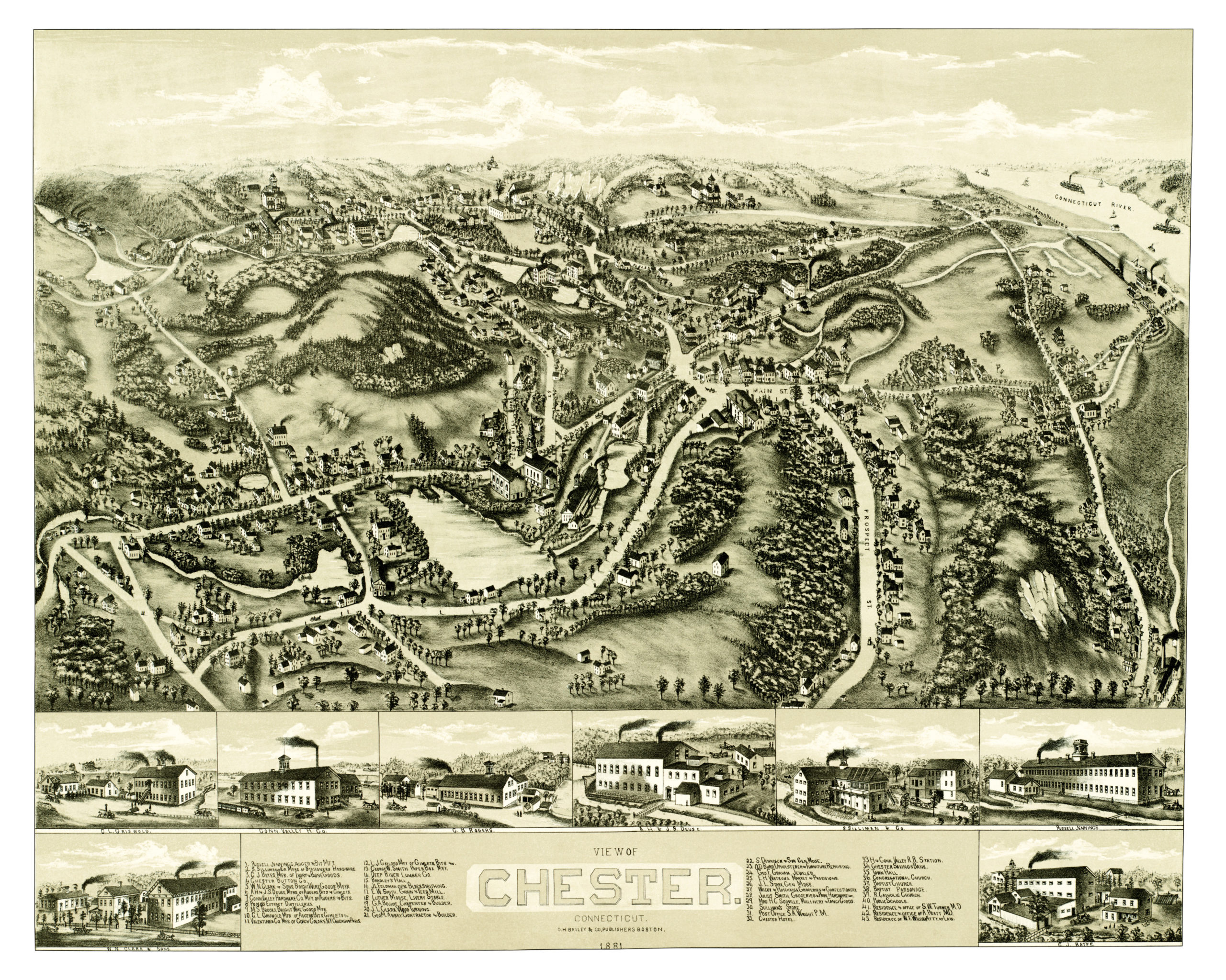
This old map of Chester, Connecticut was published in 1881 by Oakley Hoops Bailey. O.H. Bailey was one of the most prolific map publishers of the 19th century, and spent a large part of his life traveling the country while creating beautiful hand drawn maps of American towns.
The map shows a bird’s eye view of Chester, CT as it looked toward the end of the 19th century. Chester landmarks on the map include Russell Jennings Augers & Bits, Chester Button Company, Connecticut Valley Hardware, Pond’s Extract Distilleries, Deep River Lumber, Chester Hotel, Sullivan’s Store, and more.
Click here to see Chester, Connecticut in 1881.
Reproductions of the restored map are available here.
This old map of Chester has been lovingly restored by the team at KNOWOL. Reproductions of the restored map are available on museum quality, archival paper to ensure that this piece of Connecticut history can be passed on to the next generation. Click here to get a copy of the map.