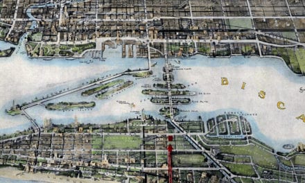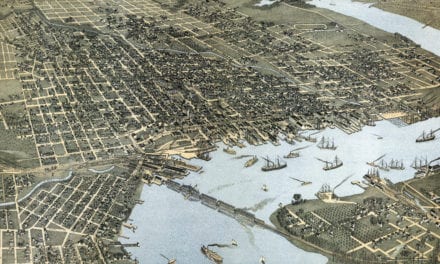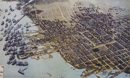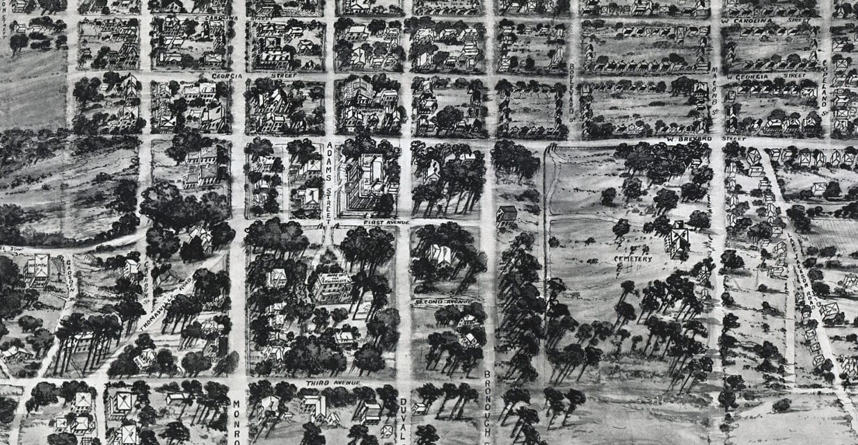
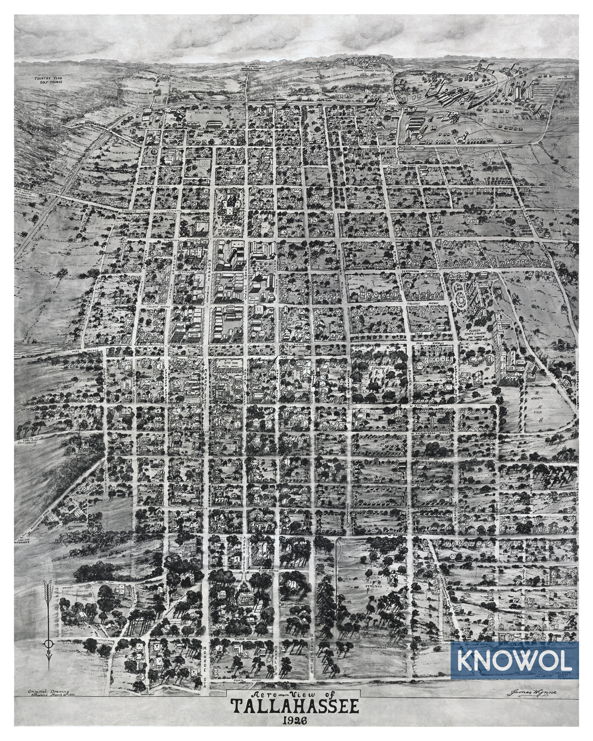
This historic map of Tallahassee, Florida was created in 1926 by James Wynne. Wynne completed the drawing on March 20, 1926. The map shows a bird’s eye view of Tallahassee as it used to be, including street names and old landmarks.
Landmarks on the map include Florida State College for Women, the Florida Agricultural and Mechanical University (shown as “I and M Colored College.”), Florida State Capitol, Athletic Fields, Tallahassee Railroad Station, Fair Grounds, and more.
This historic map of Tallahassee has been restored by KNOWOL. Reproductions of the restored map are available here.
Historic Old Map of Tallahassee, Florida from 1926
This vintage map of Tallahassee makes an attractive addition to your office, library, or den, and can even be used to teach children the geography and history of the area. When you’re done exploring, click here to get your copy of the restored map.