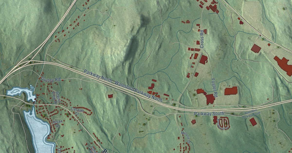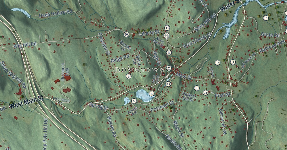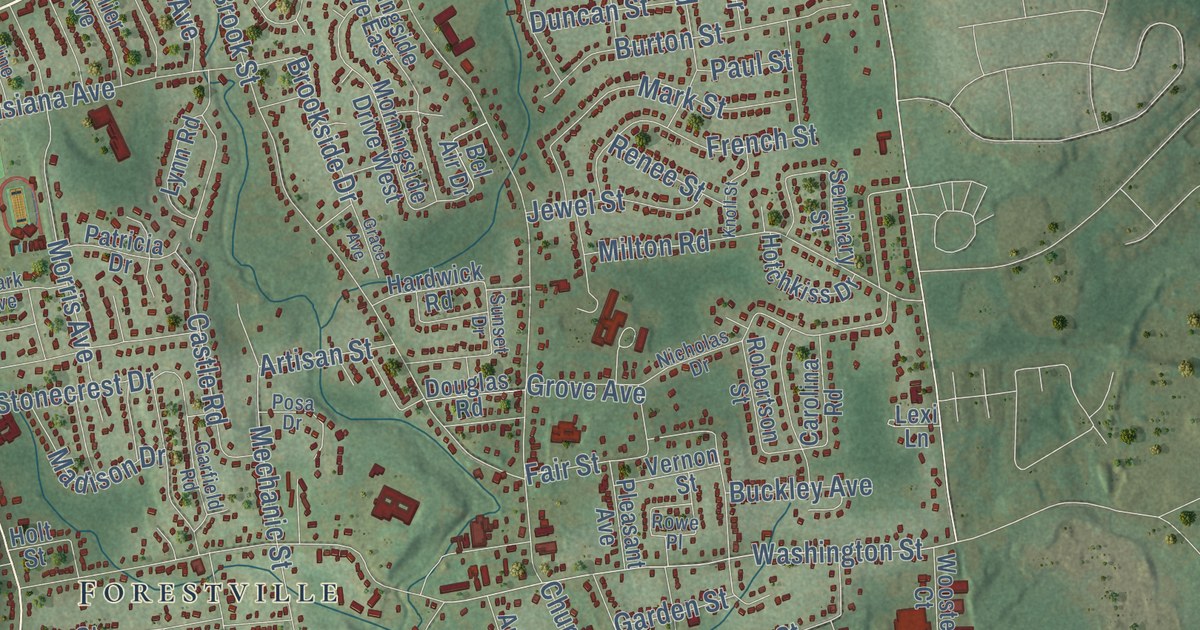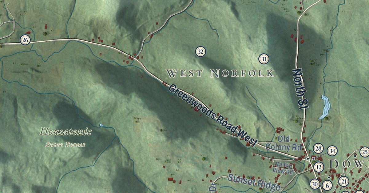
This beautifully detailed map of Norfolk, Connecticut was created in 2026 using aerial imagery combined with modern topographical, census, street and landmark data. It’s a one-of-a-kind view of Norfolk that combines accurate data with a vintage aesthetic. The map shows every building in its true location, many of the roads carry their names, and the shaded topographic relief shows the shape of the land.
See it on a wall
The Norfolk map as an 18 x 24 inch print in a black frame.

Explore an aerial view of Norfolk, Connecticut
On the map you’ll find Downtown, South Norfolk, Turkey Cobble, Grantville, West Norfolk, Bald Mountain, Brown Mountain, Chestnut Hill, College Hill, Bear Swamp Pond, Beckley Pond, Dennis Hill State Park, and more. If you look closely you can even find your house accurately drawn in its correct location. Zoom in on the preview to look for yours. Click here to learn more about the history of Norfolk.
Take a closer look at the Norfolk map
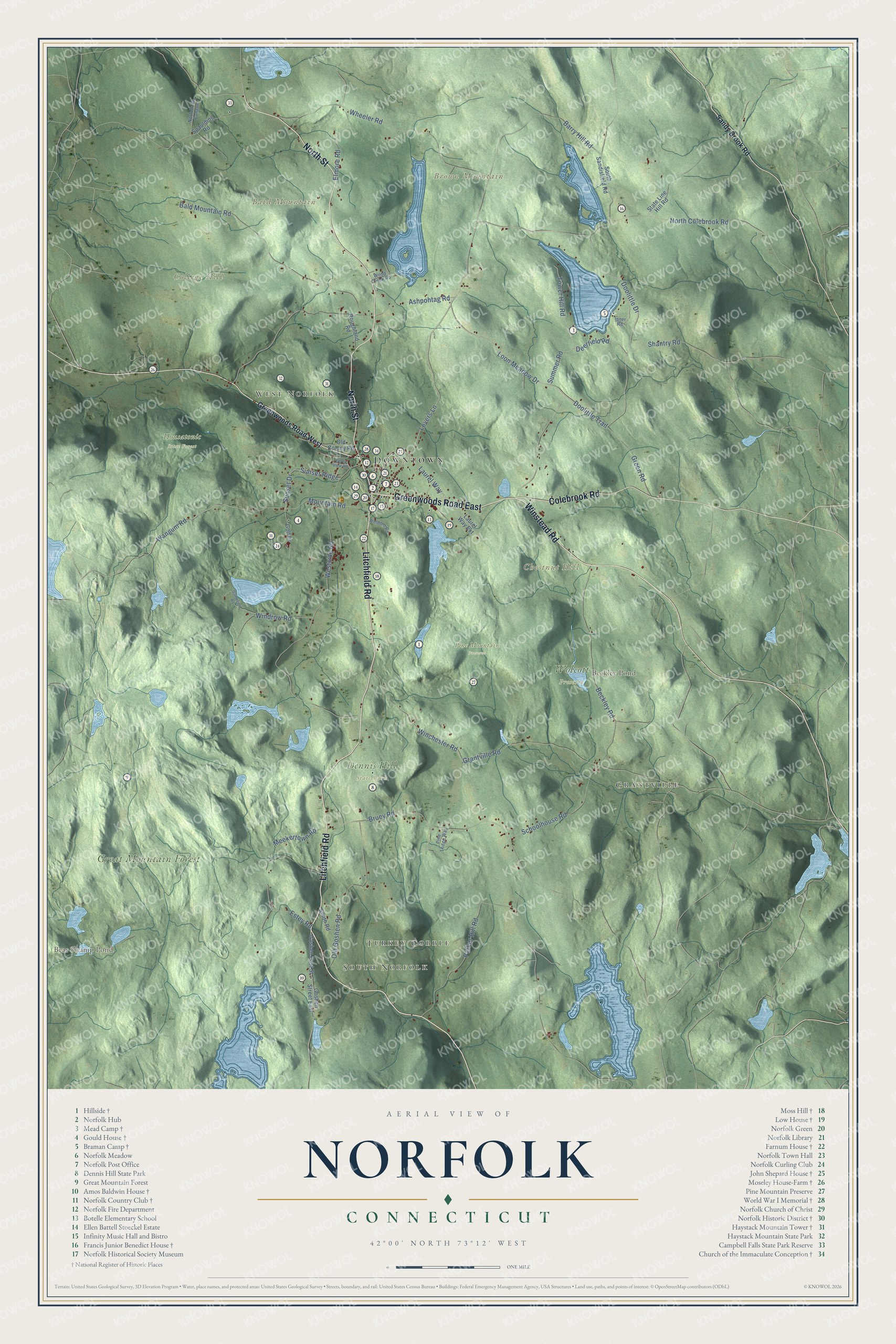
Click to explore a larger preview. The digital watermark does not appear on printed maps.
Names on this map
These names are printed on this map.
Places: Downtown, South Norfolk, Turkey Cobble, Grantville, West Norfolk, Bald Mountain, Brown Mountain, Chestnut Hill, College Hill, Bear Swamp Pond, Beckley Pond, Dennis Hill State Park, Great Mountain Forest, Housatonic State Forest, Pine Mountain Preserve and Wolcott Preserve.
Streets and roads: Greenwoods Road East, Litchfield Road, Winstead Road, Colebrook Road, North Street, Lovers Lane, Doolittle Drive, Loon Meadow Drive, Laurel Way, Summer Road, Doolittle Trail, Sunset Ridge.
More street names, A to Z
Ashpohtag Road, Bald Mountain Road, Barry Hill Road, Beckley Road, Bruey Road, Deerfield Road, Elmore Road, Estey Road, Gamefield Road, Golf Drive, Goshen East Street, Goshen Street East, Grantville Road, Green Road, Greenwoods Road West, Inner Road, Laurel Way Extension, Meekertown Road, Mountain Road, Norfolk No Canaan, North Colebrook Road, Old Colony Road, Old Goshen Road, Parker Hill Road, Pine Ledge Way, Roughland Road, Sandy Brook Road, Schoolhouse Road, Shantry Road, Smith Road, South Sandisfield Road, Spaulding Road, State Line Hill Road, Sunset Drive, Tower Hill Road, Valley View Road, Wangum Road, Westside Road, Wheeler Road, Winchester Road, Windom Road, Windrow Road, Wood Creek Road.
This beautifully detailed map of Norfolk makes an attractive addition to your office, library, or den, and it can even be used to teach children the geography and history of the area. It also makes a great gift for anyone who grew up in Norfolk or moved away. When you’re done exploring, click here to get your copy of the Norfolk map.