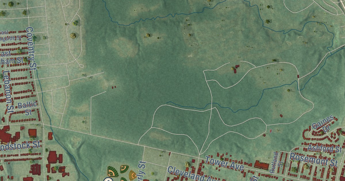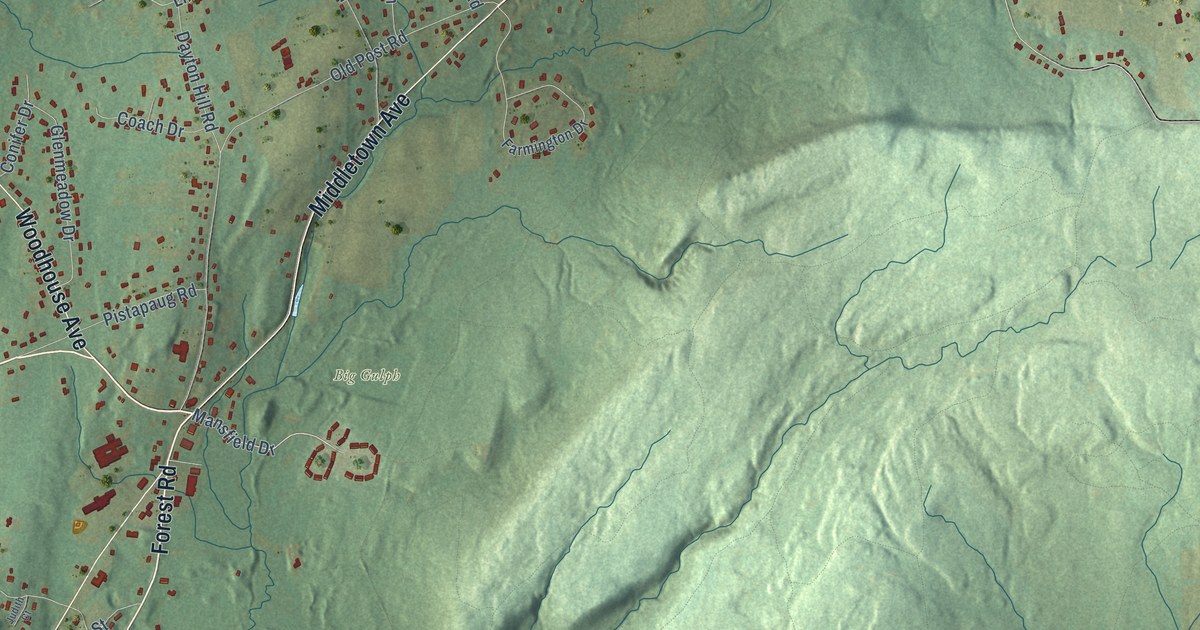
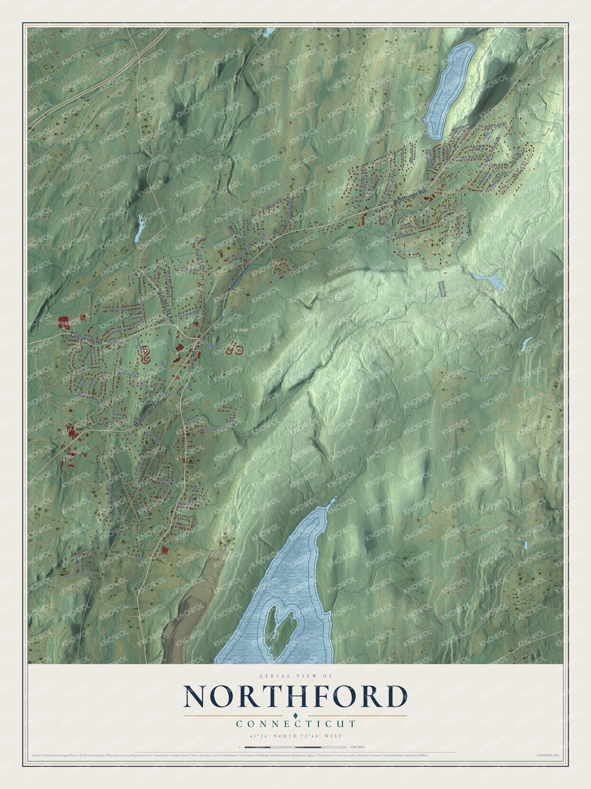
This beautifully detailed map of Northford, Connecticut was created in 2026 using aerial imagery combined with modern topographical, census, street and landmark data. It's a modern aerial view of Northford in South Central Connecticut Planning Region, Connecticut, that combines modern data with a vintage aesthetic. The roads feature printed names, and if you look closely you can find your exact house accurately shown in its correct location.
Explore an aerial view of Northford, Connecticut
On this map you'll find Clintonville, Big Gulph, Clintonville Road, Middletown Avenue, Forest Road, Woodhouse Avenue, Mansfield Drive, Village Street, Reeds Gap Road, Totoket Road, Old Post Road, White Hollow Road, and more. Each red shape is a building, so zoom in on the preview and look for yours.
Northford is a community in South Central Connecticut Planning Region. The Census Bureau counted 6,082 people here in 2020. Northford sits about 4 miles east of North Haven, 4 miles southeast of Wallingford Center and 6 miles east of Quinnipiac University. The map prints the town name in its title panel, with the coordinates below it.
Take a closer look at the Northford map
Names on this map
These names are printed on this map.
Places: Clintonville and Big Gulph.
Streets and roads: Clintonville Road, Middletown Avenue, Forest Road, Woodhouse Avenue, Mansfield Drive, Village Street, Reeds Gap Road, Totoket Road, Old Post Road, White Hollow Road, Parsonage Hill Road, Oxbow Lane.
More street names, A to Z
Acorn Lane, Alling Road, Anderson Road, Arbor Lane, Ash Drive, Augur Road, Augur Road Extended, Autumn Court, Berncliff Drive, Birchwood Drive, Blue Jay Drive, Blue Trail Drive, Brookfield Drive, Carlen Drive, Cedar Lane, Coach Drive, Conifer Drive, Cricket Lane, David Lane, Dayton Hill Road, Deepwood Lane, Ely Lane, Evergreen Road, Farmington Drive, Farm River Drive, Fern Drive, Foote Hill Road, Forest View Road, Fox Hill Drive, Gail Court, Gail Drive, Ginny Drive, Glenmeadow Drive, Grant Drive, Great Oak Road, Gulf Brook Drive, High Point Drive, Hillside View Road, Holly Mar Hill Road, Humming Bird Drive, Hyla Lane, Idylwood Drive, Indian Hill Road, Jackson Lane, Josie Drive, Judith Court, Knollcrest Drive, Lakeview Drive, Lanes Pond Road, Laurel Lane, Line Road, Longo Lane, Maltby Lane, Meadow Lark Lane, Miller Road, Montgomery Drive, Mountain View Terrace, Nida Drive, Old Turnpike, Palanga Road, Pistapaug Road, Reeds Gap Road East, Reeds Gap Road West, Robin Lane, Ruta Drive, Saint Monica Drive, Salem Street, Skylark Drive, Spruce Street, Sunnyside Drive, Surrey Drive, Tommys Path, Venta Drive, Walnut Lane, Westwind Drive, Woodland Drive, Woods Hill Road, Woodvale Drive, Youngs Apple Orchard Road.
See it on a wall
The Northford map as a framed print. Swipe for more.


Created by KNOWOL in 2026. The buildings are small red shapes, the roads carry their printed names, and shaded relief shows the shape of the land. The title panel reads "AERIAL VIEW OF NORTHFORD, CONNECTICUT" with 41°24' NORTH 72°48' WEST.
Hang it in the hallway, the office or the cabin, or give it to someone who left Northford and still calls it home. Open the preview and look for a street you know. See sizes and frames for the Northford map.