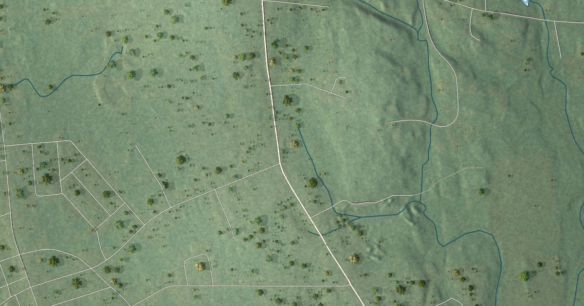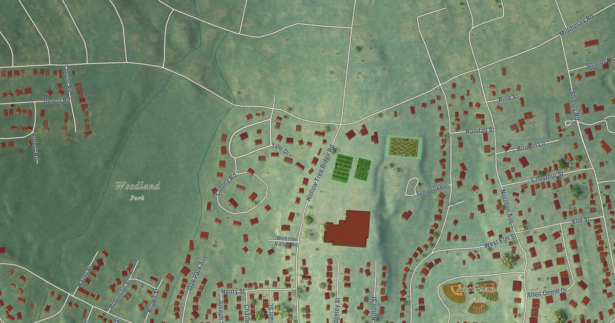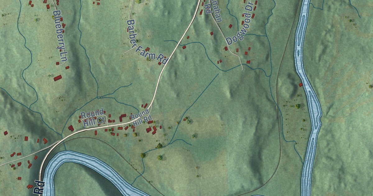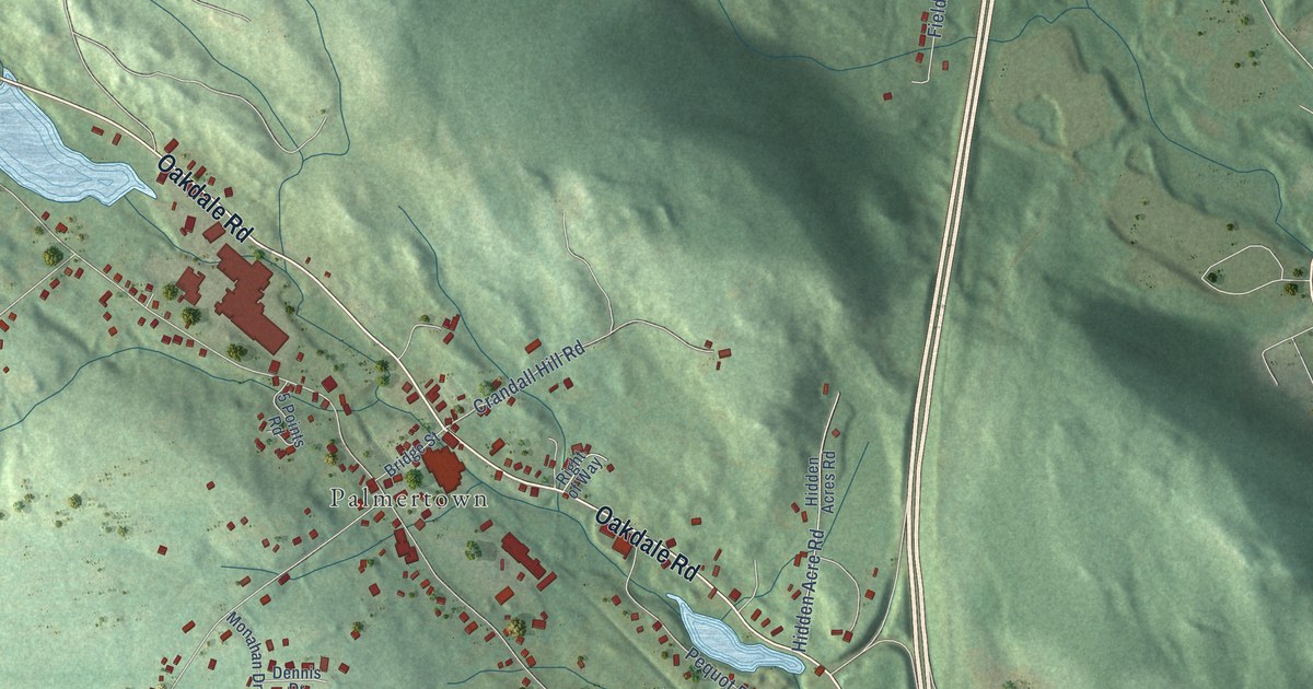
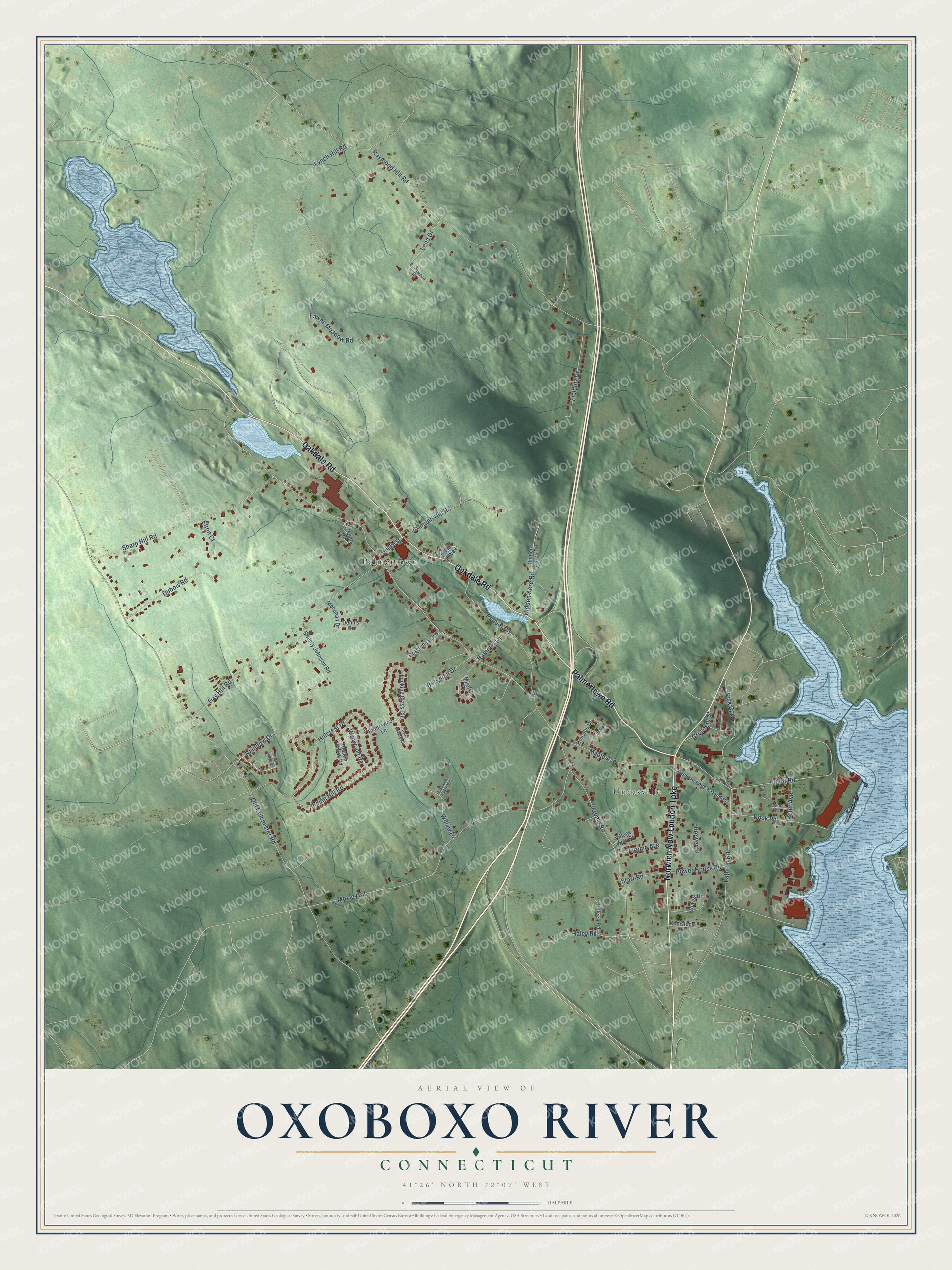
This beautifully detailed map of Oxoboxo River, Connecticut was created in 2026 using aerial imagery combined with modern topographical, census, street and landmark data. It's a modern aerial view of Oxoboxo River in Southeastern Connecticut Planning Region, Connecticut, that combines modern data with a vintage aesthetic. The roads feature printed names, and if you look closely you can find your exact house accurately shown in its correct location.
Explore an aerial view of Oxoboxo River, Connecticut
On this map you'll find Palmertown, Uncasville, Palmertown Road, Oakdale Road, Norwich New London Turnpike, Rainbow Drive, Maple Avenue, Old Colchester Road, Lynch Hill Road, Raymond Hill Road, Moxley Road, Gay Hill Road, and more. Each red shape is a building, so zoom in on the preview and look for yours.
Oxoboxo River has a story worth telling. The Oxoboxo River's name is a corruption of its original Native name, Opsobosket. John Winthrop built a sawmill at the river's mouth in 1653. In 1798 brothers Arthur and John Scholfield leased the site and put in the first woolen machinery in Connecticut for making cloth by water power. The Scholfields had come from Yorkshire, England, in 1793, carrying the plans for their textile machines in their heads. That's from the 1904 Connecticut history by Forrest Morgan.
Oxoboxo River is a community in Southeastern Connecticut Planning Region. The Census Bureau counted 2,955 people here in 2020. Oxoboxo River sits about 3 miles northwest of Gales Ferry, 5 miles northwest of Conning Towers-Nautilus Park and 7 miles north of Waterford. The map prints the town name in its title panel, with the coordinates below it.
Take a closer look at the Oxoboxo River map
Names on this map
These names are printed on this map.
Places: Palmertown and Uncasville.
Streets and roads: Palmertown Road, Oakdale Road, Norwich New London Turnpike, Rainbow Drive, Maple Avenue, Old Colchester Road, Lynch Hill Road, Raymond Hill Road, Moxley Road, Gay Hill Road, Depot Road, Jerome Road.
More street names, A to Z
5 Points Road, Bergman Drive, Birchwood Drive, Bittersweet Lane, Bonville Drive, Brewer Street, Bridge Street, Comstock Avenue, Crandall Hill Road, Crescent Street, Dennis Drive, Dock Road, Dubois Road, Edward Road, Elton Court, Fawns Meadow Road, Fielding Drive, Gair Court, Haley Road, Hammel Lane, Heather Brook Road, Hewitt Drive, Hidden Acre Road, Hidden Acres Road, High Ridge Circle, Hillcrest Drive, Indian Hill Road, Jerome Avenue, Killeen Road, Lathrop Road, Lena Drive, Looking Glass Circle, Maple Avenue Extended, McCulley Place, McShanes Ranch Road, Milefski Drive, Monahan Drive, Paint Brush Path, Pequot Road, Peter Avenue, Pink Row, Power House Road, Right of Way, Roselund Hill Road, Sharp Hill Road, Starr Road, Swanty Johnson Road, Village Apts Place, Virginia Court, Willow Drive, Wynwood Road.
See it on a wall
The Oxoboxo River map as a framed print. Swipe for more.


Created by KNOWOL in 2026. The buildings are small red shapes, the roads carry their printed names, and shaded relief shows the shape of the land. The title panel reads "AERIAL VIEW OF OXOBOXO RIVER, CONNECTICUT" with 41°26' NORTH 72°07' WEST.
It looks right in a kitchen, an office or a den, and it's a gift for anyone who grew up in Oxoboxo River or moved away. Open the preview and find your street. See sizes and frames for the Oxoboxo River map.