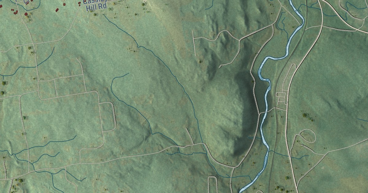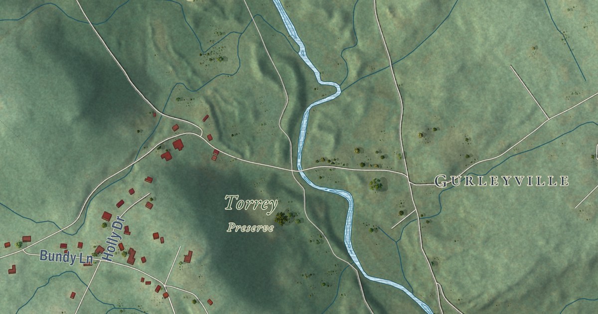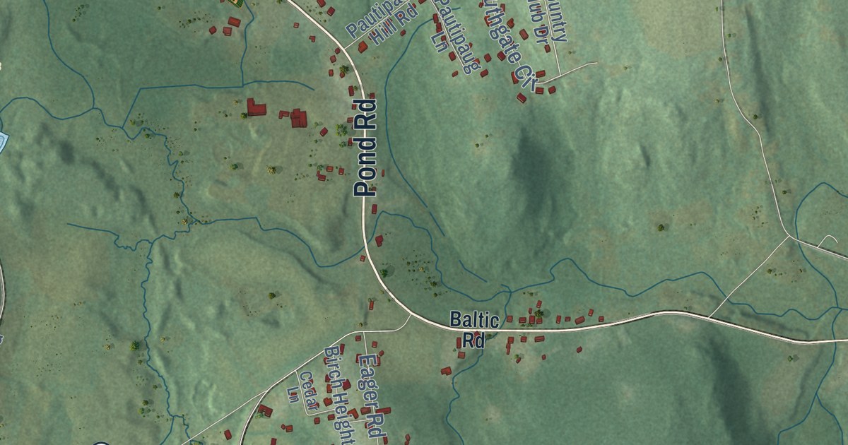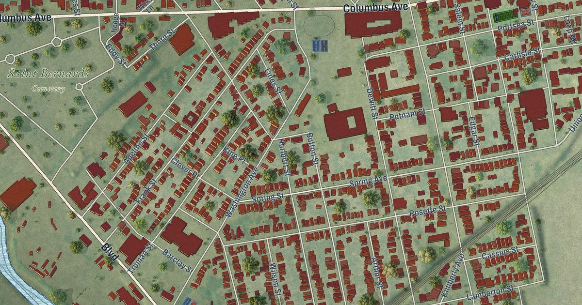
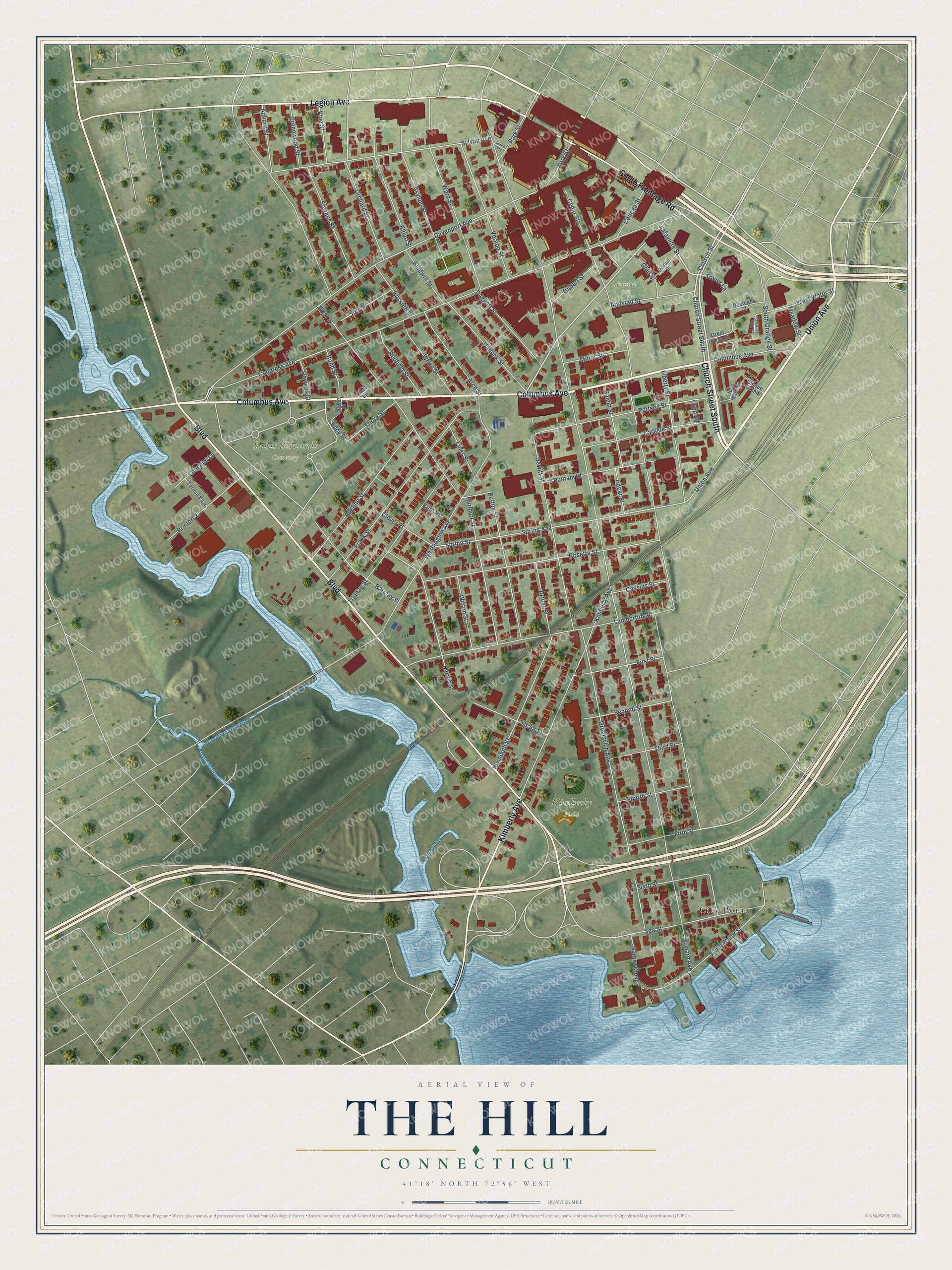
This beautifully detailed map of The Hill, Connecticut was created in 2026 using aerial imagery combined with modern topographical, census, street and landmark data. It’s a one-of-a-kind view of The Hill that combines accurate data with a vintage aesthetic. The map shows every building in its true location, many of the roads carry their names, and the shaded topographic relief shows the shape of the land.
Explore an aerial view of The Hill, Connecticut
On the map you’ll find Saint Bernards Cemetery, Kimberly Field, Amistad Park, and City Point, along with Columbus Avenue, Church Street South, Boulevard, Union Avenue, Kimberly Avenue, South Frontage Road, Legion Avenue, Church Street, and more. If you look closely you can even find your house accurately drawn in its correct location. Zoom in on the preview to look for yours.
Take a closer look at The Hill map
Names on this map
These names are printed on this map.
Places: Saint Bernards Cemetery, Kimberly Field, Amistad Park and City Point.
Streets and roads: Columbus Avenue, Church Street South, Boulevard, Union Avenue, Kimberly Avenue, South Frontage Road, Legion Avenue, Church Street, Lafayette Street, Congress Avenue, Washington Avenue, Spring Avenue.
More street names, A to Z
Adeline Street, Amistad Street, Ann Street, Arch Street, Arthur Street, Asylum Street, Auburn Street, Baldwin Street, Barclay Street, Bond Street, Button Street, Carlisle Street, Cassius Street, Cedar Street, Cinque Green, Clover Place, College Street, Daggett Street, Davenport Avenue, Dediego Court, Dewitt Street, Downes Street, Eddy Street, Edgar Street, Elliott Street, Fifth Street, First Street, Fourth Street, Frank Street, Gilbert Street, Gold Street, Grant Street, Great Green Court, Greenwich Avenue, Greenwood Street, Hallock Street, Harbor Close, Hedge Street, Howard Avenue, Hurlburt Street, Jose Marti Court, King Place, Kossuth Street, Lamberton Street, Liberty Street, Lines Street, Little Green Court, Longhini Lane, Loop Road, Meadow Street, Minor Street, Morris Street, Orchard Street, Park Street, Plymouth Street, Portsea Street, Prince Street, Printers Lane, Putnam Street, Redfield Street, Rosette Street, Salem Street, Sea Street, Second Street, Sixth Street, South Orange Street, South Street, South Water Street, Spring Street, Stevens Street, Sylvan Avenue, Terminal Lane, Third Street, Thorn Street, Tower Lane, Truman Street, Vernon Street, Vine Street, Ward Street, West Lane, West Street, West Water Street, White Street, Wilson Street, York Street.
See it on a wall
The The Hill map as a framed print. Swipe for more.


This beautifully detailed map of The Hill makes an attractive addition to your office, library, or den, and it can even be used to teach children the geography and history of the area. It also makes a great gift for anyone who grew up in The Hill or moved away. When you’re done exploring, click here to get your copy of The Hill map.