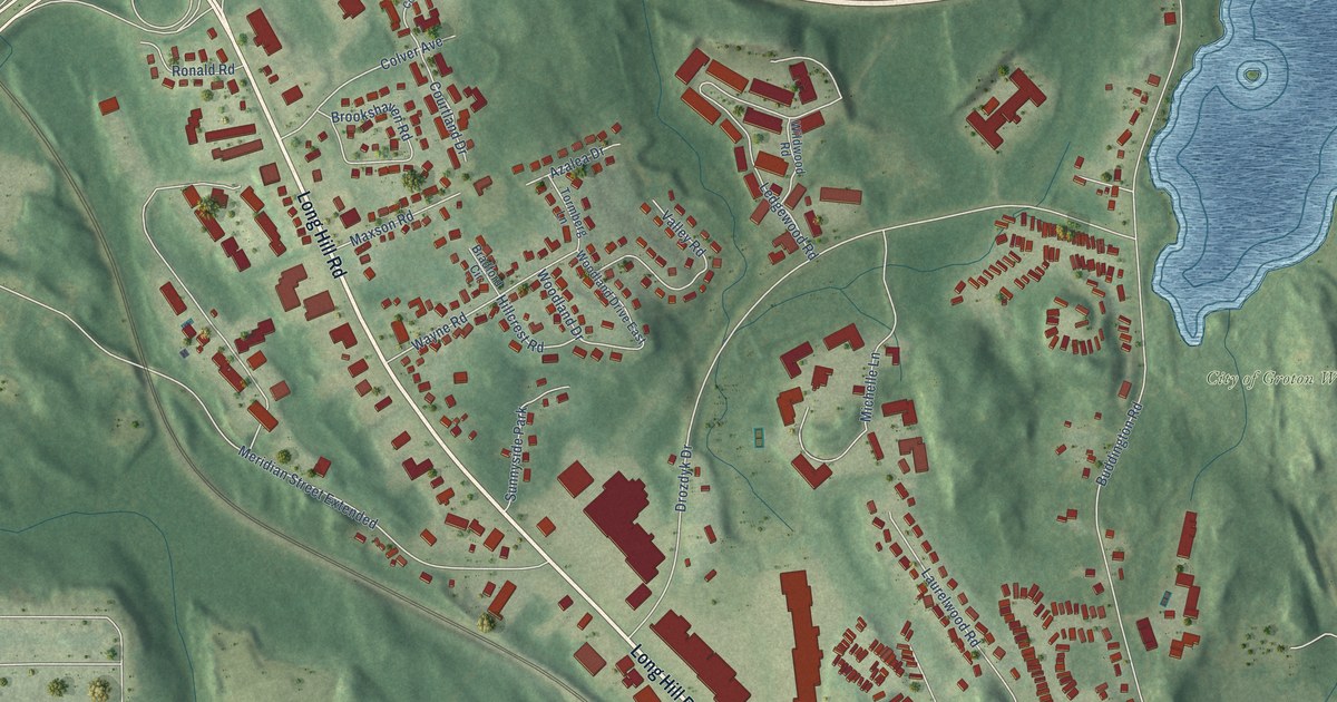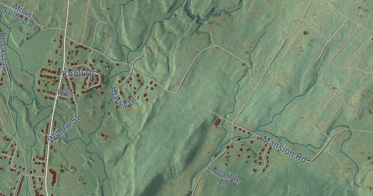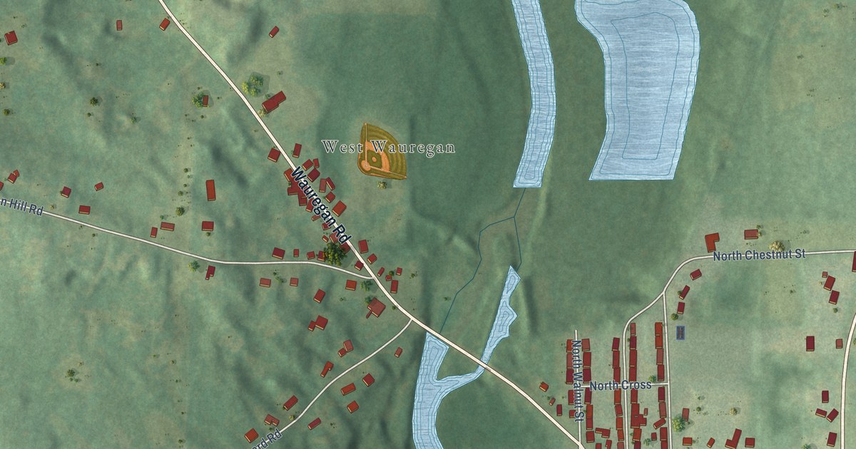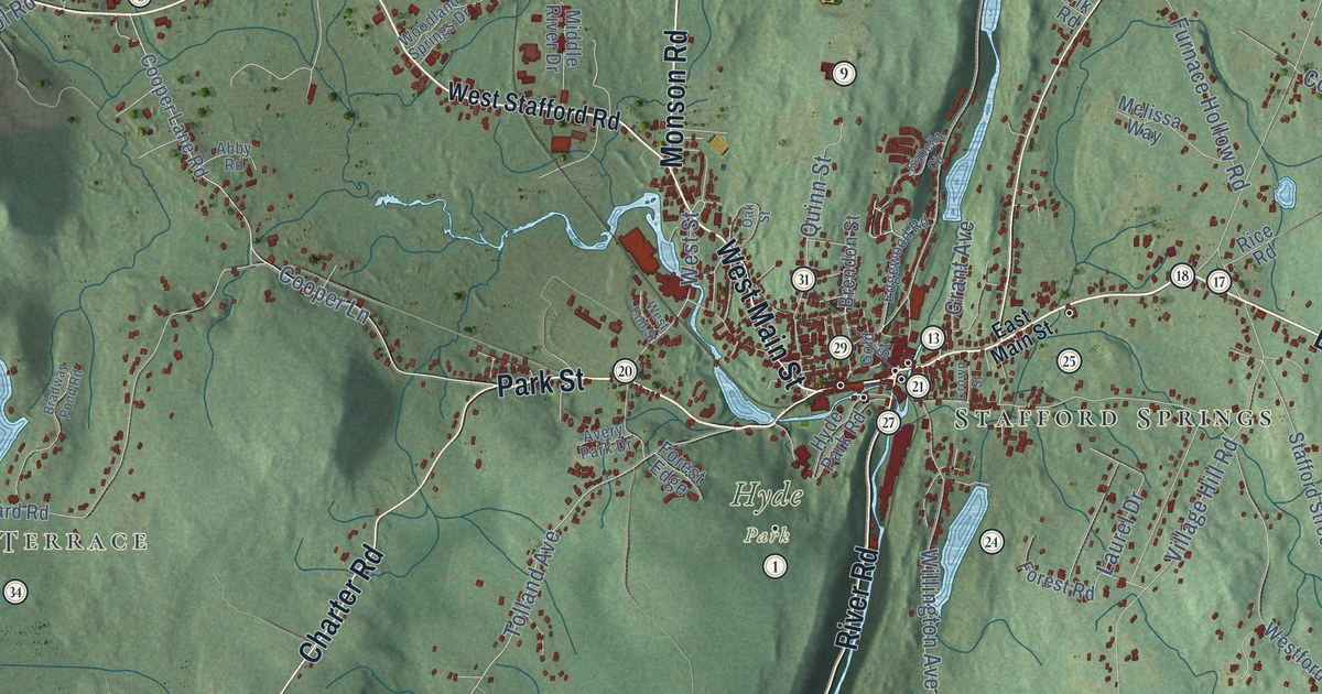
This beautifully detailed map of Stafford, Connecticut was created in 2026 using aerial imagery combined with modern topographical, census, street and landmark data. It’s a one-of-a-kind view of Stafford that combines accurate data with a vintage aesthetic. The map shows every building in its true location, many of the roads carry their names, and the shaded topographic relief shows the shape of the land.
See it on a wall
The Stafford map as an 18 x 24 inch print in a black frame.

Explore an aerial view of Stafford, Connecticut
On the map you’ll find Downtown, Staffordville, West Stafford, Burley Hill, Chestnut Hill, Chestnut Mountain, Arnold Ponds, Bradway Pond, Bob White Farm, Hyde Park, and Nipmuck State Forest, along with Lake View Terrace, and more. If you look closely you can even find your house accurately drawn in its correct location. Zoom in on the preview to look for yours. Click here to learn more about the history of Stafford.
Take a closer look at the Stafford map
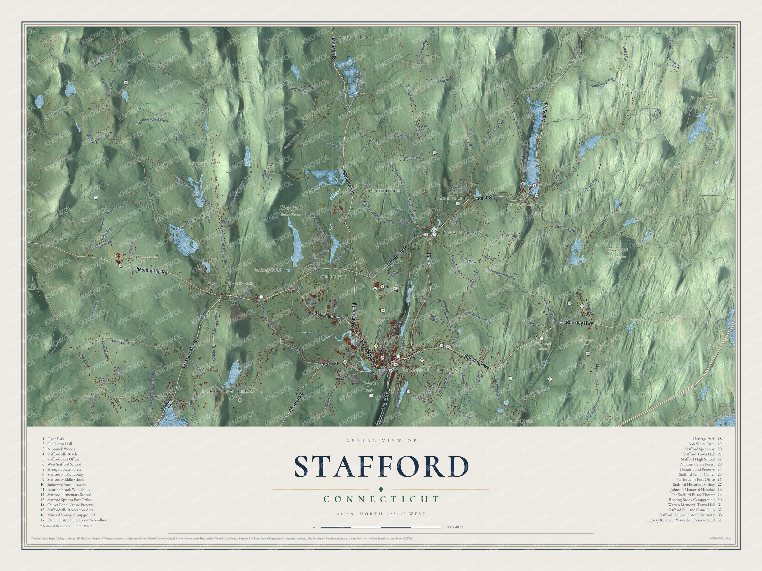
Click to explore a larger preview. The digital watermark does not appear on printed maps.
Names on this map
These names are printed on this map.
Places: Downtown, Lake View Terrace, Staffordville, West Stafford, Burley Hill, Chestnut Hill, Chestnut Mountain, Arnold Ponds, Bradway Pond, Bob White Farm, Hyde Park, Nipmuck State Forest, Nipmuck Woods, Shenipsit State Forest, State Line, Ellithorpe, Hydeville, Stafford Springs and Orcutts.
Streets and roads: West Main Street, Park Street, Monson Road, Buckley Highway, Chestnut Hill Road, Charter Road, East Street, Wales Road, Orcuttville Road, Crystal Lake Road, River Road, Finch Road.
More street names, A to Z
Abby Road, Acorn Drive, Avery Park Drive, Avery Road, Beffa Road, Blodgett Road, Boyer Road, Bradway Pond Road, Bradway Road, Brendon Street, Burbank Road, Burley Hill Road, Chaffee Road, Clark Road, Clearview Drive, Colburn Road, Collette Road, Collette Road East, Conklin Road, Cooper Lane, Cooper Lane Road, County Road, Crooked South Road, Crow Hill Road, Crown Street, Deer Run, Delphi Road, Diamond Ledge Road, Dunay Road, East Main Street, Edgewood Road, Evergreen Lane, Fenton Road, Fleury Drive, Forest Edge, Forest Road, Fox Hill Drive, Fox Run, Furnace Avenue, Furnace Hollow Road, Galbraith Road, Gilbert Road, Gold Street, Goodell Road, Grant Avenue, Greaves Road, Greaves Road East, Grennan Road, Gulf Road, Hall Road, Hampden Road, Handel Road, Harvey Lane, Hillcrest Drive, Holmes Road, Hopyard Road, Hyde Park Road, Hydeville Road, Isabella Circle, Kemp Road, Krol Road, Kuhrt Road, Lake Shore Boulevard, Lamb Road, Laurel Drive, Laurel Lane, Leonard Road, Magauran Drive, Mayflower Hl, Mc Clelland Road, Melissa Way, Michelec Road, Middle River Drive, Minor Road, Moulton Hill Road, Murphy Road, New City Road, North Road, Oak Street, Old Birch Road, Old Country Road, Old County Road, Old Monson Road, Old Springfield Road, Packard Ridge, Parrow Drive, Patten Road, Petz Road, Pine Road, Potter Road, Quinn Street, Racker Road, Reily Place, Reservoir Lane, Rfd Road, Rice Road, Rockwell Road, Rocky Dundee Road, Roundhouse Road, Sartori Road, Satkowski Drive, School House Road, Sears Road, Slater Road, Sodom Road, South Road, Spellman Road, Spencer Road, Spencer Road West, Spousta Road, Spusta Road, Stafford Road, Stafford Street, Stafford Street Extended, State Line Road, Steep Gutter Road, Stone House Road, Stoney Lane, Sunrise Ridge, Sunset Ridge, Sunset Ridge Road, Susan Drive, Tetrault Road, Tolland Avenue, Tyco Drive, Upper Road, Valley View Drive, Village Hill Road, Virginia Drive, Vlk Road, West End Street, Westford Road, West Stafford Road, West Street, Whispering Pines Road, Whitus Road, Williamson Road, Willington Avenue, Woodland Springs Drive, Worthington Road.
This beautifully detailed map of Stafford makes an attractive addition to your office, library, or den, and it can even be used to teach children the geography and history of the area. It also makes a great gift for anyone with Stafford roots. When you’re done exploring, click here to get your copy of the Stafford map.