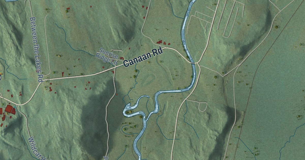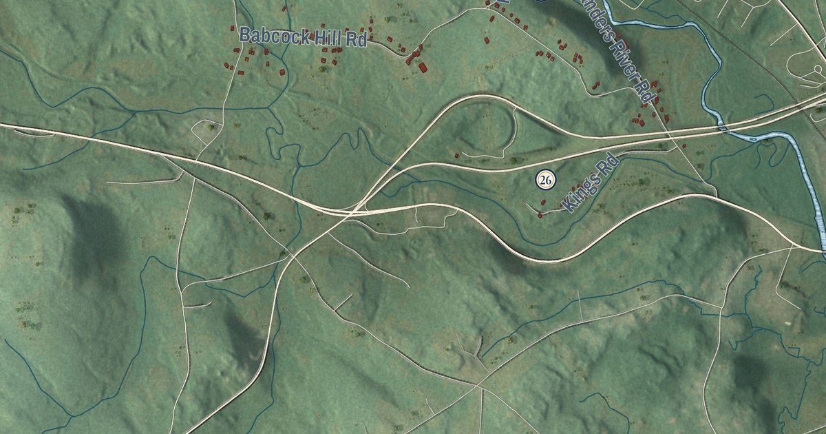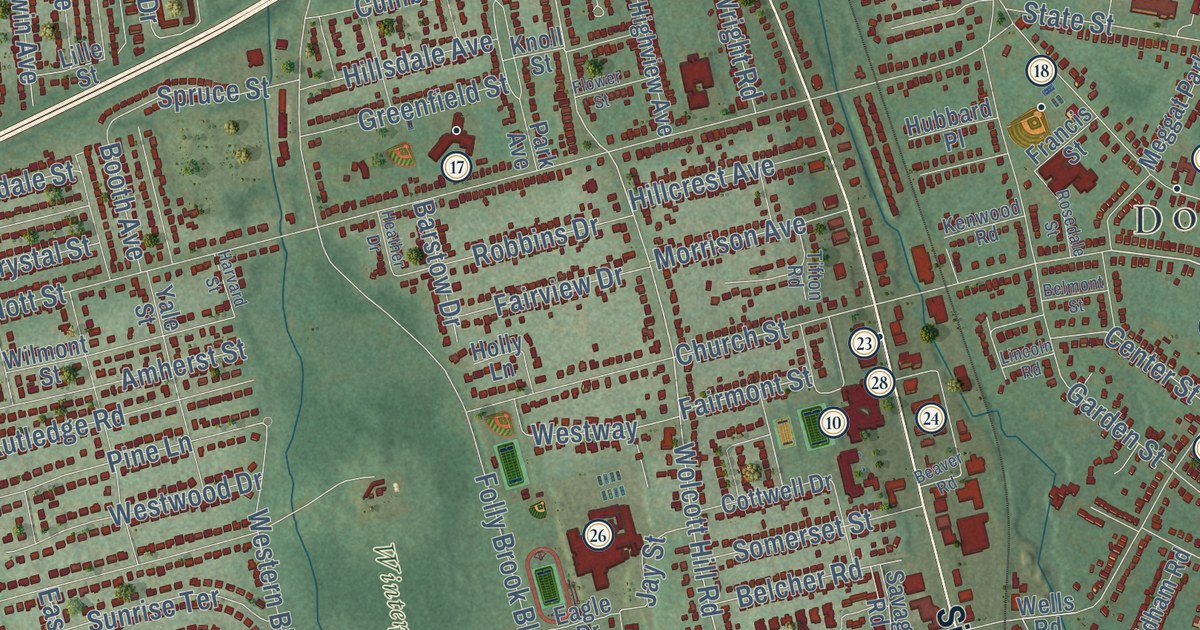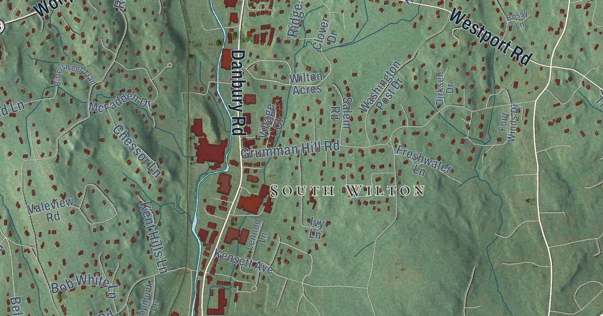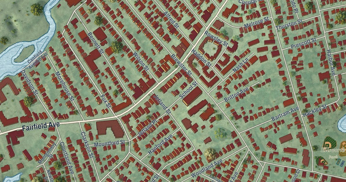
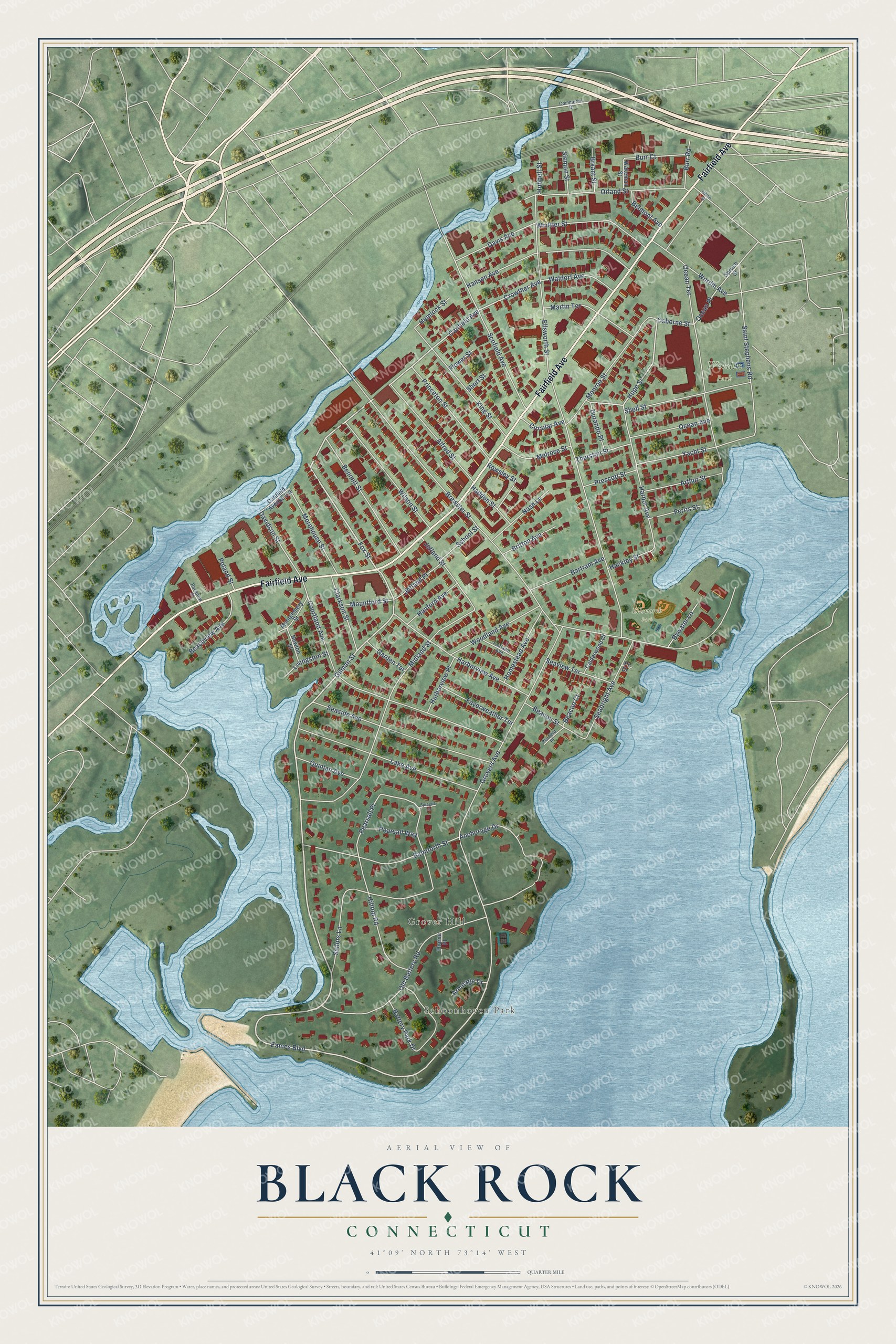
This beautifully detailed map of Black Rock, Connecticut was created in 2026 using aerial imagery combined with modern topographical, census, street and landmark data. It’s a one-of-a-kind view of Black Rock that combines accurate data with a vintage aesthetic. The map shows every building in its true location, many of the roads carry their names, and the shaded topographic relief shows the shape of the land.
Explore an aerial view of Black Rock, Connecticut
On the map you’ll find Schoonhoven Park, Grover Hill, Ellsworth Park, and Wordin Park, along with Fairfield Avenue, Fox Street, Gilman Street, Eames Boulevard, Hope Street, Canfield Avenue, Crowther Avenue, Osborne Street, and more. If you look closely you can even find your house accurately drawn in its correct location. Zoom in on the preview to look for yours.
Did You Know?
From Internet Archive: "The Bridgeport Protestant Orphan Asylum was established in 1868, in the Black Rock district, and it cares for seventy children."
Black Rock is a place in Fairfield County.
Take a closer look at the Black Rock map
Names on this map
These names are printed on this map.
Places: Schoonhoven Park, Grover Hill, Ellsworth Park and Wordin Park.
Streets and roads: Fairfield Avenue, Fox Street, Gilman Street, Eames Boulevard, Hope Street, Canfield Avenue, Crowther Avenue, Osborne Street, Ocean Place, Pearsall Place, Davidson Street, Brewster Street.
More street names, A to Z
Albion Street, Alfred Street, Anchorage Drive, Armitage Drive, Arthur Street, Balmforth Street, Bartram Avenue, Battery Park Drive, Beachview Avenue, Beacon Court, Beacon Street, Belmont Avenue, Bennett Street, Britton Avenue, Bryant Street, Burr Court, Burr Road, Bywater Lane, Calderwood Court, Canfield Avenue Extension, Circular Avenue, Clarkson Street, Commerce Drive, Courtland Avenue, Davis Avenue, Durando Place, Ellsworth Street, Fairlawn Avenue, Fayerweather Terrace, Ferris Street, Flower Street, Garden Terrace, Grovers Avenue, Hackley Street, Haddon Street, Hanford Avenue, Hansen Avenue, Harbor Avenue, Harborview Avenue, Harborview Place, Hemlock Street, Hilltop Road, Homestead Avenue, Hubbell Street, Jetland Place, Jetland Street, King Street, Lake Avenue, Livingston Street, Martin Terrace, Melrose Street, Midland Street, Monroe Street, Montgomery Street, Morehouse Street, Mountford Street, Nash Lane, Newton Street, Ocean Avenue, Ocean Terrace, Old Battery Road, Orland Street, Pacanow Street, Pearsall Way, Penfield Place, Poland Street, Pr Drive, Prescott Street, Princeton Street, Quinlan Avenue, Rowsley Street, Sailors Lane, Saint Stephens Road, School Street, Scofield Avenue, Seabright Avenue, Seaside Avenue, Seaview Terrace, Shell Street, Short Street, Siemon Street, Sprague Lane, Spruce Street, Thorne Place, Thurston Street, Wakeman Street, Waldorf Avenue, Whittier Street, Wilson Street, Woodland Avenue, Wordin Avenue, Yacht Street.
See it on a wall
The Black Rock map as a framed print. Swipe for more.


This beautifully detailed map of Black Rock makes an attractive addition to your office, library, or den, and it can even be used to teach children the geography and history of the area. It also makes a great gift for anyone who grew up in Black Rock or moved away. When you’re done exploring, click here to get your copy of the Black Rock map.