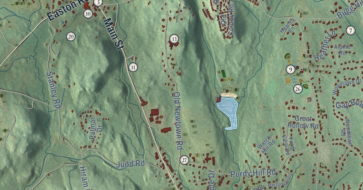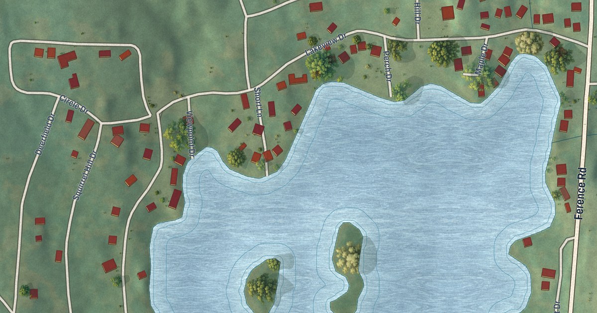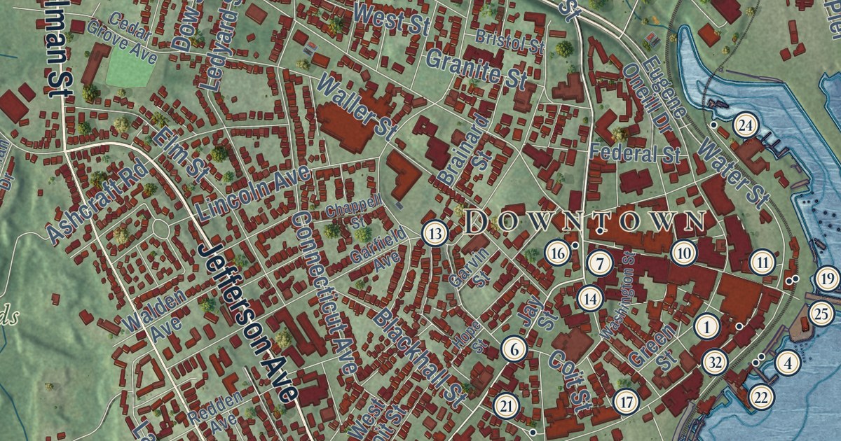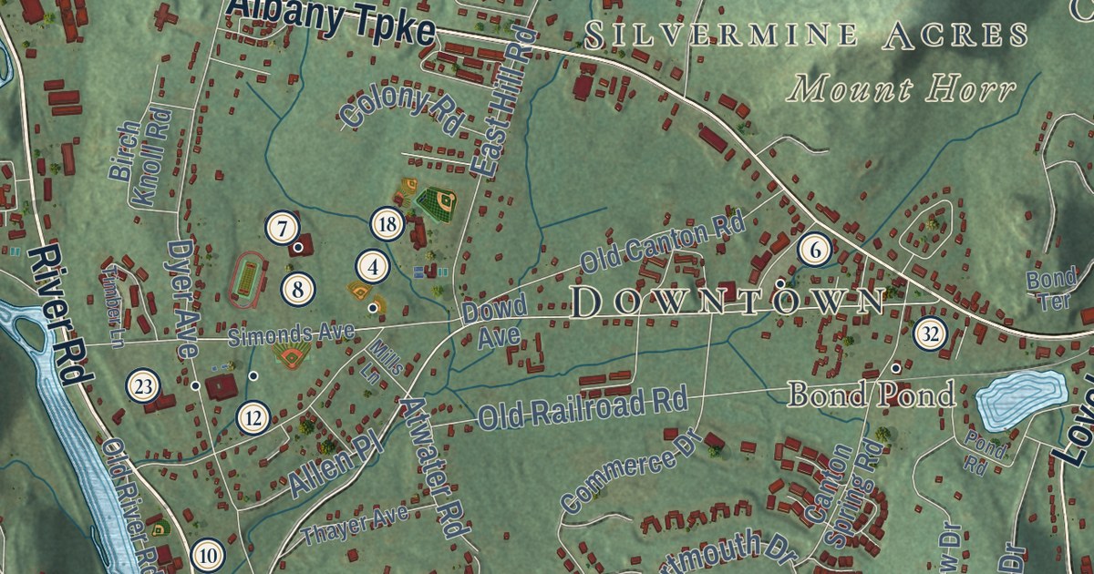
This beautifully detailed map of Canton, Connecticut was created in 2026 using aerial imagery combined with modern topographical, census, street and landmark data. It’s a one-of-a-kind view of Canton that combines accurate data with a vintage aesthetic. The map shows every building in its true location, many of the roads carry their names, and the shaded topographic relief shows the shape of the land.
See it on a wall
The Canton map as an 18 x 24 inch print in a black frame.

Explore an aerial view of Canton, Connecticut
On the map you’ll find Downtown, Collinsville, North Canton, Canton Valley, Silvermine Acres, Breezy Hill, East Hill, Huckleberry Hill, Mount Horr, Bond Pond, Collinsville Reservoir, Onion Mountain, and more. If you look closely you can even find your house accurately drawn in its correct location. Zoom in on the preview to look for yours. Click here to learn more about the history of Canton.
Take a closer look at the Canton map
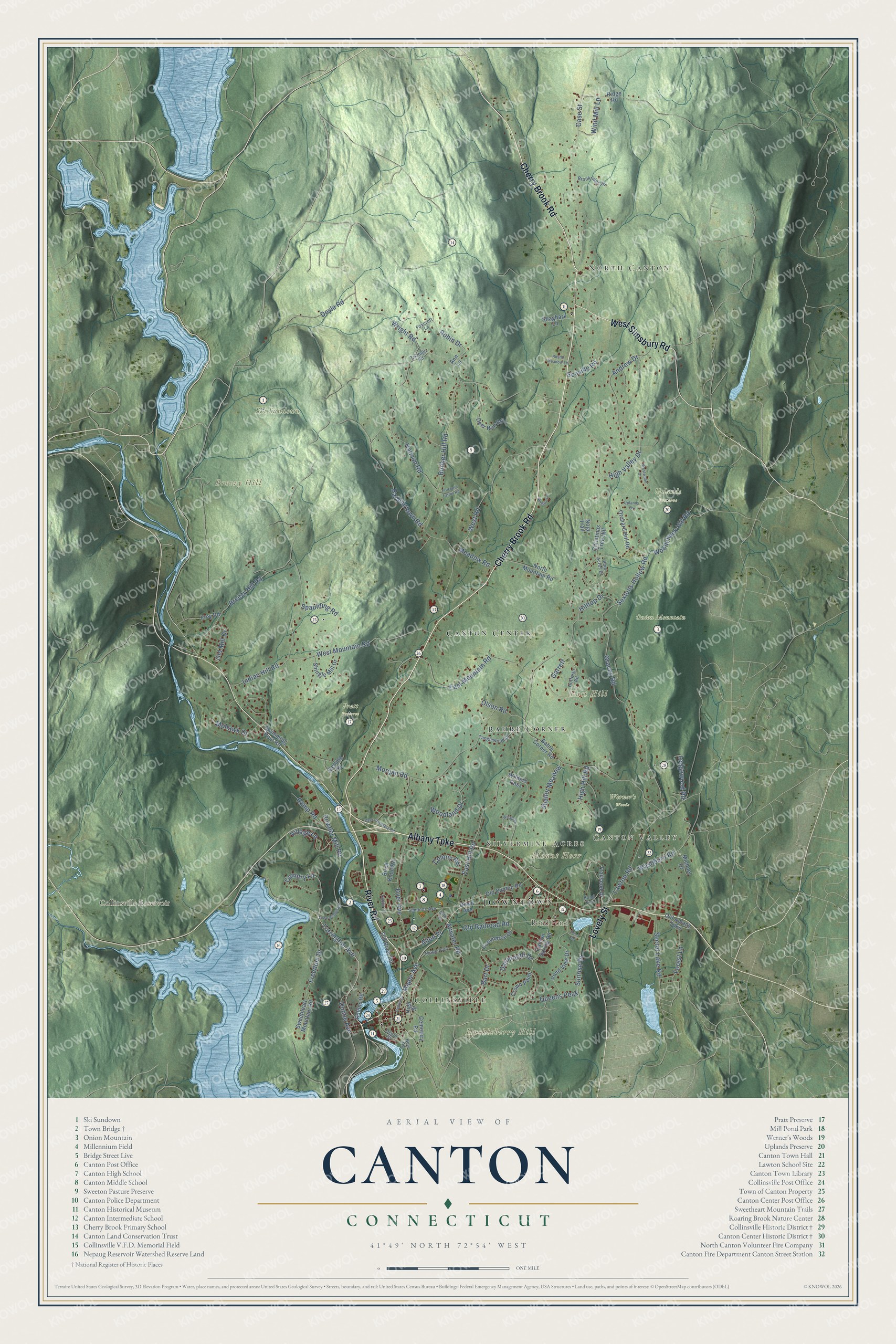
Click to explore a larger preview. The digital watermark does not appear on printed maps.
Names on this map
These names are printed on this map.
Places: Downtown, Collinsville, North Canton, Canton Valley, Silvermine Acres, Breezy Hill, East Hill, Huckleberry Hill, Mount Horr, Bond Pond, Collinsville Reservoir, Onion Mountain, Pratt Preserve, Ski Sundown, Uplands Preserve, Werner's Woods, Canton Center and Bahre Corner.
Streets and roads: Albany Turnpike, Cherry Brook Road, River Road, West Simsbury Road, Lovely Street, Torrington Avenue, Maple Avenue, East Hill Road, Breezy Hill Road, Barbourtown Road, Wright Road, Gracey Road.
More street names, A to Z
Allen Place, Andrew Drive, Ann Lane, Atwater Road, Bahre Corner Road, Bart Drive, Bel Aire Lane, Birch Knoll Road, Bond Terrace, Bristol Drive, Brookridge Drive, Bunker Hill Road, Canton Spring Road, Case Street, Cemetery Road, Center Street, Christmas Tree Hill, Collins Road, Colony Road, Commerce Drive, Country Lane, Crown Point, Dartmouth Drive, Deer Run Road, Depot Street, Dowd Avenue, Doyle Road, Dunne Avenue, Dyer Avenue, Dyer Cemetery Road, East Mountain Road, Forest Lane, Foxcroft Lane, Freedom Drive, Freeland Farms Road, Frey Road, Garrett, Hanson Road, High Hill Road, High Street, High Valley Drive, Hilltop Drive, Hoffman Road, Indian Hill Road, Lawton Road, Ledgewood Road, Meadow Road, Michael Drive, Mills Lane, Mohawk Drive, Morgan Road, New Road, Noja Trail, North Mountain Road, Old Albany Turnpike, Old Canton Road, Old Mill Drive, Old Railroad Road, Old River Road, Olson Road, Orchard Hill Road, Pine Acres Drive, Pond Road, Pond View Drive, Powder Mill Road, Queens Peak, Ramp Road, Ridge Road, Robin Drive, Rustle Meadow Lane, Scoville Road, Secret Lake Road, Sextons Hollow Road, Shagbark Lane, Shallot Meadow, Shingle Mill Drive, Simonds Avenue, Spaulding Road, Sterling Drive, Sunrise Drive, Sweetheart Mountain Road, Swimming Pool Road, Tanglewood Drive, Thayer Avenue, Timber Lane, Town Bridge Road, Trailsend Drive, Triangle Road, Uplands Drive, Village Lane, Washburn Road, West Mountain Road, West Road, Westwood Drive, Wilders Pass, Wind Mill Lane, Woodchuck Hill Road, Woodland Drive.
This beautifully detailed map of Canton makes an attractive addition to your office, library, or den, and it can even be used to teach children the geography and history of the area. It also makes a great gift for anyone who grew up in Canton or moved away. When you’re done exploring, click here to get your copy of the Canton map.