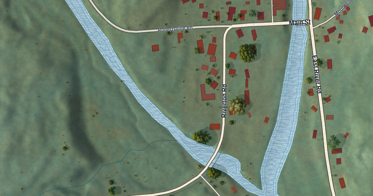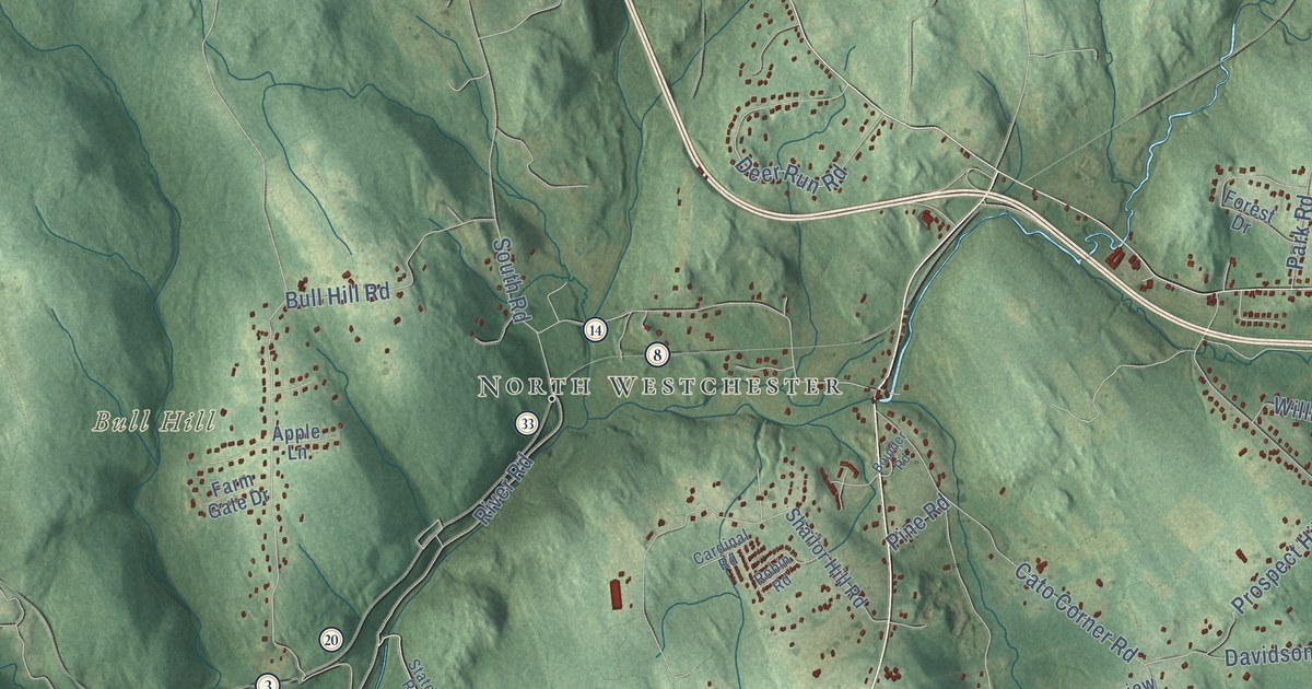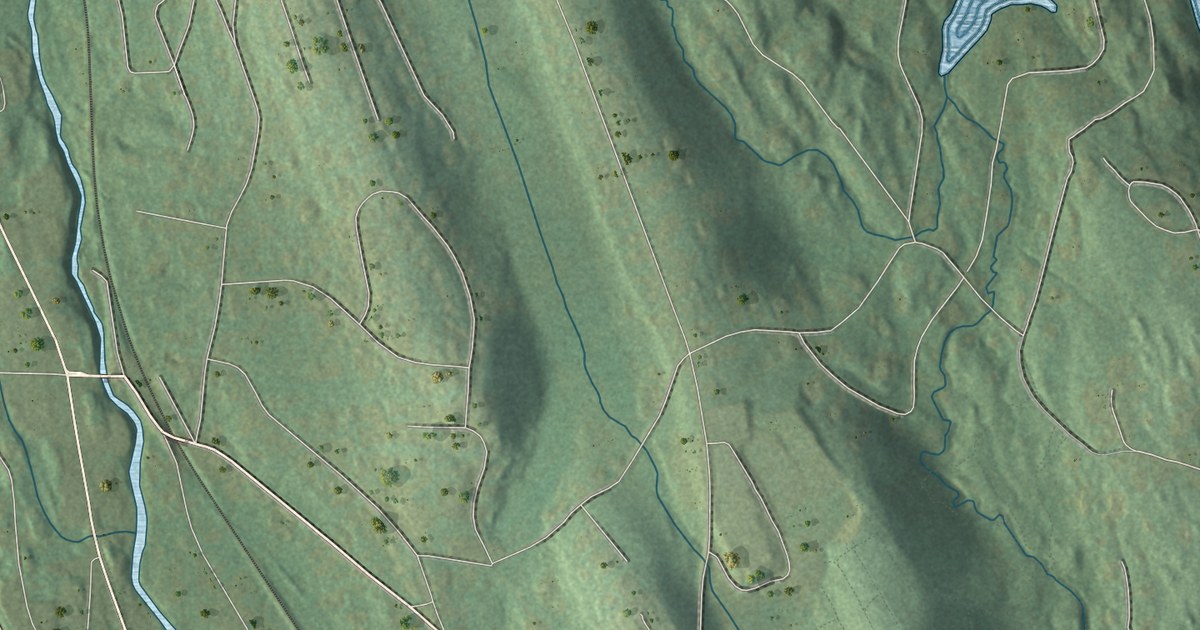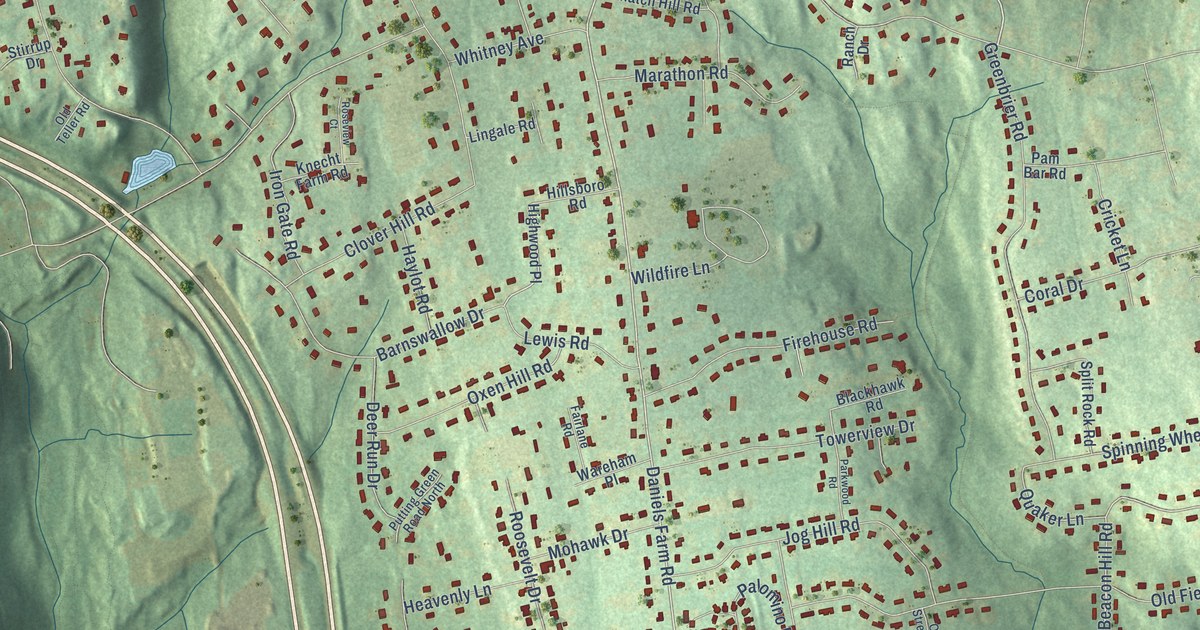
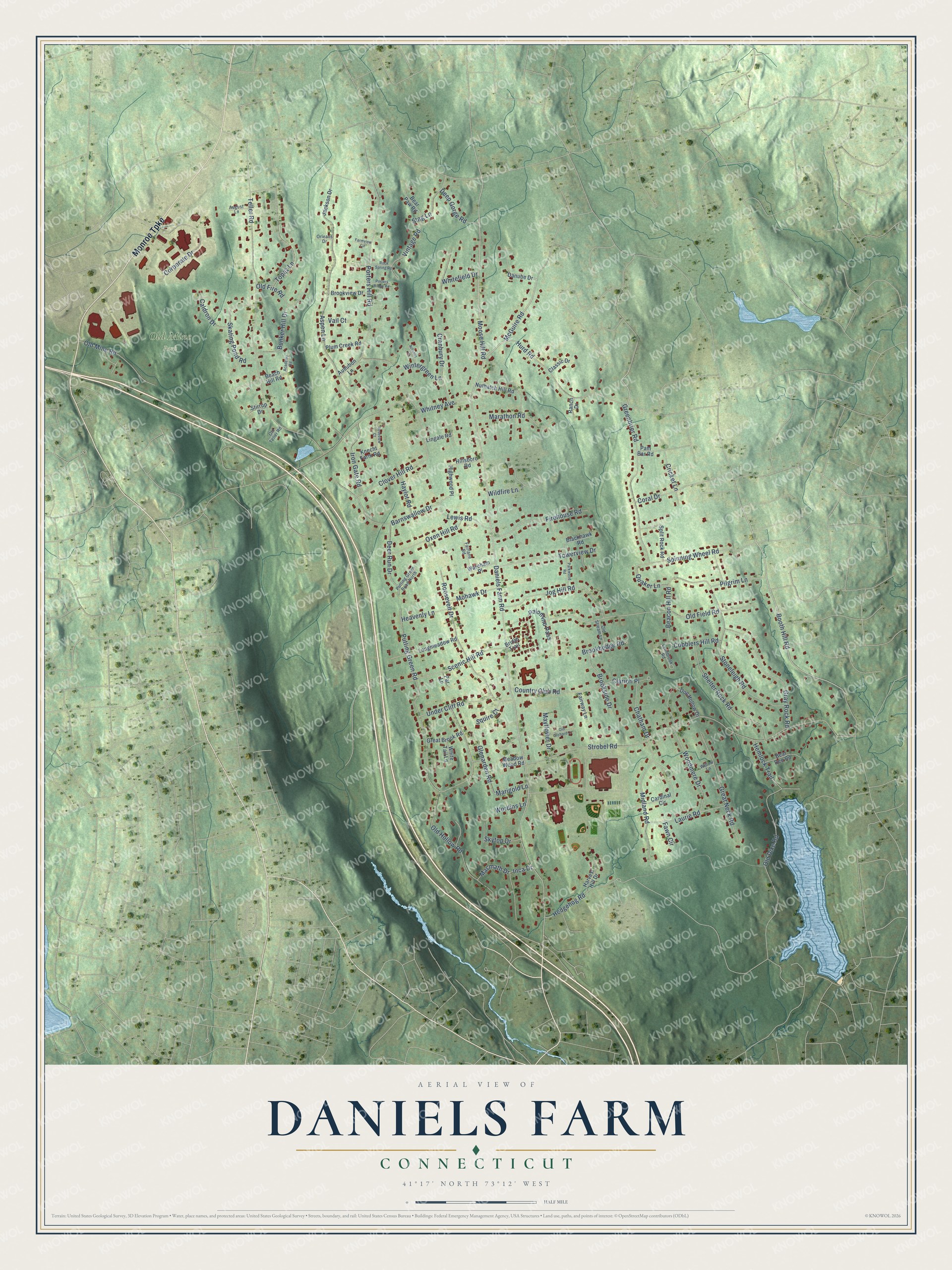
This beautifully detailed map of Daniels Farm, Connecticut was created in 2026 using aerial imagery combined with modern topographical, census, street and landmark data. It's a modern aerial view of Daniels Farm in Greater Bridgeport Planning Region, Connecticut, that combines modern data with a vintage aesthetic. The roads feature printed names, and if you look closely you can find your exact house accurately shown in its correct location.
Explore an aerial view of Daniels Farm, Connecticut
On this map you'll find Old Mine Park, Monroe Turnpike, Booth Hill Road, Moose Hill Road, McGuire Road, Daniels Farm Road, Beacon Hill Road, Strobel Road, Putting Green Road, Teller Road, Porters Hill Road, Old Field Road, and more. Each red shape is a building, so zoom in on the preview and look for yours.
Every town has a first chapter, and Daniels Farm is no exception. Old Mine Park, on the mineral-rich hill called Saganawamps in the Long Hill area of Trumbull, holds the first tungsten mine worked east of the Mississippi. It is also the first place in the United States where topaz was identified. For many decades it was a famous source of mineral specimens, until the town parks commission stopped all collecting in 2016. That's from the U.S. Geological Survey.
Daniels Farm is a community in Greater Bridgeport Planning Region. The Census Bureau counted 6,150 people here in 2020. Daniels Farm sits about 2 miles east of Tashua, 3 miles northwest of Trumbull Center and 4 miles northeast of Sacred Heart University. The map prints the town name in its title panel, with the coordinates below it.
Take a closer look at the Daniels Farm map
Names on this map
These names are printed on this map.
Places: Old Mine Park.
Streets and roads: Monroe Turnpike, Booth Hill Road, Moose Hill Road, McGuire Road, Daniels Farm Road, Beacon Hill Road, Strobel Road, Putting Green Road, Teller Road, Porters Hill Road, Old Field Road, Whitney Avenue.
More street names, A to Z
Academy Road, Arbutus Lane, Aspen Lane, Audubon Lane, August Lane, Barnswallow Drive, Beach Hill Road, Bear Den Road, Bear Paw Road, Blackhawk Road, Bridle Trail, Brookhedge Road, Brookside Drive, Brookview Drive, Bunker Hill Drive, Caldron Drive, Cardinal Circle, Chatham Drive, Clarion Place, Classic Drive, Clover Hill Road, Cobblers Hill Road, Coral Drive, Corporate Drive, Country Club Road, Cranbury Drive, Cricket Lane, Danube Drive, Deep Gorge Road, Deer Run Drive, Doe Hollow Drive, Fairlane Road, Fairway Lane, Farmview Circle, Fawn Circle, Firehouse Road, Glenarden Road, Gray Rock Road, Great Brook Road, Great Neck Road, Greenbrier Road, Harvest Hill Drive, Haylot Road, Heavenly Lane, Hedgehog Road, Hemlock Trail, Highwood Place, Hillsboro Road, Hurd Road, Inca Drive, Iron Gate Road, Jackson Drive, Jog Hill Road, Knecht Farm Road, Laurie Road, Lewis Road, Lingale Road, Longmeadow Road, Lynnbrook Road, Macmath Drive, Marathon Road, Marigold Lane, Mayflower Drive, Meadow Wood Road, Midland Road, Mohawk Drive, Nuthatch Hill Road, Old Dike Road, Old Fire Road, Old Hollow Road, Old Mine Road, Old Orchard Lane, Old Stream Lane, Old Teller Road, Orleans Drive, Oxen Hill Road, Palomino Pass, Pam Bar Road, Parkwood Road, Par Lane, Pilgrim Lane, Plum Creek Road, Porters Ridge Road, Putting Green Road North, Quaker Lane, Ranch Drive, Rock Spring Road, Roosevelt Drive, Roseview Court, Scenic Hill Road, Shelter Rock Road, Skating Pond Road, Skytop Drive, Spinning Wheel Road, Split Rock Road, Squire Court, Stag Lane, Stirrup Drive, Stoneleigh Road, Topaz Lane, Towerview Drive, Under Cliff Road, Vail Court, Vintage Road, Wareham Place, Whitefield Drive, White Tail Lane, Wildfire Lane, Willow Lane, Wintergreen Lane, Woodmere Drive, Wordins Lane.
See it on a wall
The Daniels Farm map as a framed print. Swipe for more.


Created by KNOWOL in 2026. The buildings are small red shapes, the roads carry their printed names, and shaded relief shows the shape of the land. The title panel reads "AERIAL VIEW OF DANIELS FARM, CONNECTICUT" with 41°17' NORTH 73°12' WEST.
Hang it in the hallway, the office or the cabin, or give it to someone who left Daniels Farm and still calls it home. Open the preview and look for a street you know. See sizes and frames for the Daniels Farm map.