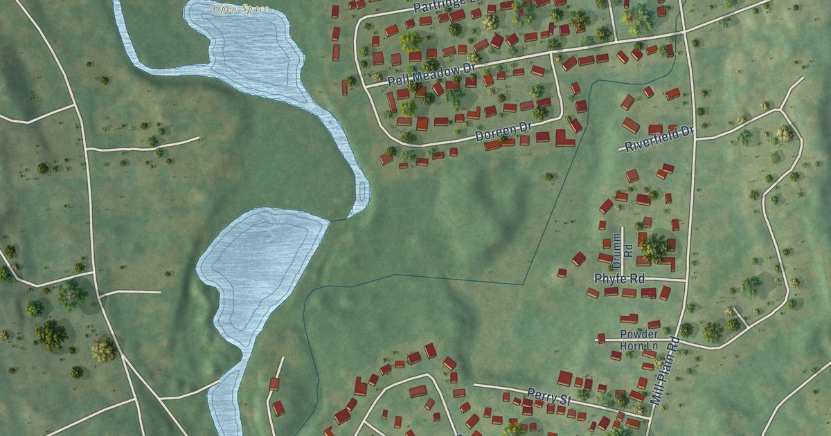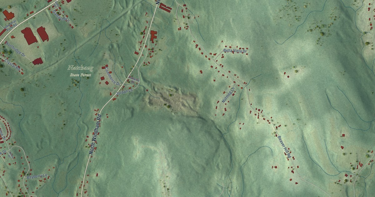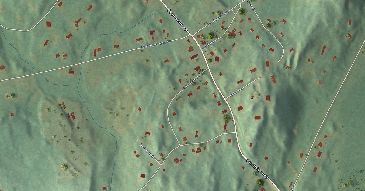
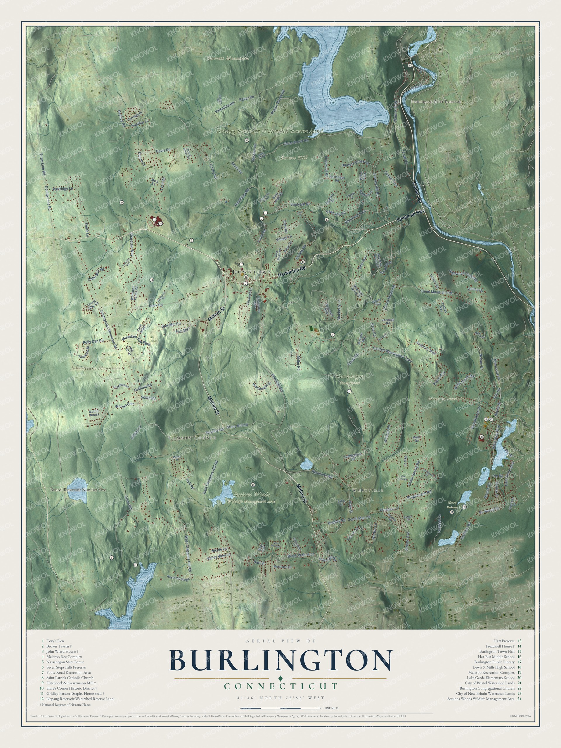
This beautifully detailed map of Burlington, Connecticut was created in 2026 using aerial imagery combined with modern topographical, census, street and landmark data. It’s a one-of-a-kind view of Burlington that combines accurate data with a vintage aesthetic. The map shows every building in its true location, many of the roads carry their names, and the shaded topographic relief shows the shape of the land.
See it on a wall
The Burlington map as an 18 x 24 inch print in a black frame.

Explore an aerial view of Burlington, Connecticut
On the map you’ll find Downtown, Whigville, Lamson Corner, Barnes Hill, Garrett Mountain, Johnnycake Mountain, Mine Mountain, Bristol Reservoir Number Five, Farmington River Reservoir, Hart Preserve, Nassahegon State Forest, Nepaug Reservoir Watershed Reserve Land, and more. If you look closely you can even find your house accurately drawn in its correct location. Zoom in on the preview to look for yours. Click here to learn more about the history of Burlington.
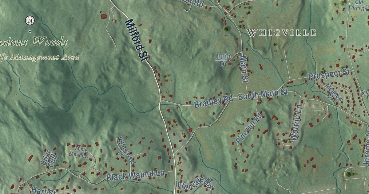
Take a closer look at the Burlington map
Click to explore a larger preview. The digital watermark does not appear on printed maps.
Names on this map
These names are printed on this map.
Places: Downtown, Whigville, Lamson Corner, Barnes Hill, Garrett Mountain, Johnnycake Mountain, Mine Mountain, Bristol Reservoir Number Five, Farmington River Reservoir, Hart Preserve, Nassahegon State Forest, Nepaug Reservoir Watershed Reserve Land and Sessions Woods Wildlife Management Area.
Streets and roads: Spielman Highway, Canton Road, Milford Street, Harwinton Road, Arch Street, County Line Road, Alpine Drive, Barnes Hill Road, Claire Hill Road, West Chippens Hill Road, Stony Hill Road, George Washington Turnpike.
More street names, A to Z
Alice Drive, Alto Road, Angela's Way, Angela Way, Baker Road, Barberry Drive, Belden Road, Bigwood Lane, Bittersweet Lane, Black Walnut Lane, Blueberry Lane, Bradley Road, Briar Cliff, Brikham Way, Burlwood Drive, Candlewood Road, Carriage Drive, Case Road, Cedar Spring Road, Charolais Way, Cider Mill Road, Clear Brook, Clear Brook Road, Clearwater Creek, Cobblestone Road, Cornwall Road, Covey Road, Daniel Trce, Davis Road, Deerfield Trce, Deer Run, Donna Drive, Douglas Road, Duane Lane, East Chippens Hill Road, East Shore Boulevard, Farm Ridge, Fawn Hill Road, Fieldview Drive, Foote Road, Ford Road, Forest Drive, Forest Glen Road, Fox Glen, Gilbert Lane, Greer Road, Hart Ridge Drive, Hart Street, Heather Lane, Highfield Drive, Highwood Crossing, Hill Top Road, Hotchkiss Road, Hull Road, Hunters Crossing, Ichabod Lane, Intervale Road, Jerome Avenue, Johnnycake Mountain Road, Julia Drive, Lake Street, Laurel Crst, Lyon Road, Maheu Drive, Main Street, Mary Road, Meadow Road, Merriman Drive, Merritt Woods, Middlecroft Road, Mill Dam Road, Miller Road, Misty Meadows, Monce Road, Mountain Briar, Mountain Spring Drive, Mountain Spring Road, Mountain Top Pass, Myra Lane, Nassahegan Drive, Nelson Drive, Nepaug Road, Newcastle Place, Nicole Lane, Northridge Road, Norwood Road, Old Farm Road, Oldfield Road, Partridge Lane, Perry Drive, Phelps Brook Road, Pine Hill Road, Polly Dan Road, Prospect Street, Punch Brook Road, Reservoir Ridge, Reservoir Road, Ridge Road, Ridgewood Road, Rio Road, Rock Road, Rock Street, Ryans Way, Savarese Lane, Saw Mill Road, School House Hill, Scoville Road, Sherman Drive, Siegas Road, Skip Lane, Smith Lane, Smith Road, South Main Street, South Road, Stafford Road, Stagecoach Road, Stanwich Lane, Stone Road, Taine Mountain Road, Thompsons Way, Town Line Road, Turner Lane, Valentine Road, Valley View Lane, Venice Drive, Ventres Way, Village Lane, Vineyard Road, Warren Glen, West Ledge Road, West Side Boulevard, West Woods Road, Wildcat Road, Withe Pass, Wollmann Farms Road, Wood Creek Road, Woodhaven Drive, Wotton Lane, Yorkshire Way.
This beautifully detailed map of Burlington makes an attractive addition to your office, library, or den, and it can even be used to teach children the geography and history of the area. It also makes a great gift for anyone with Burlington roots. When you’re done exploring, click here to get your copy of the Burlington map.