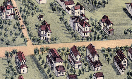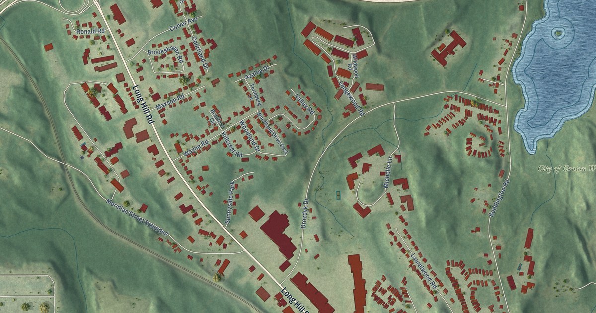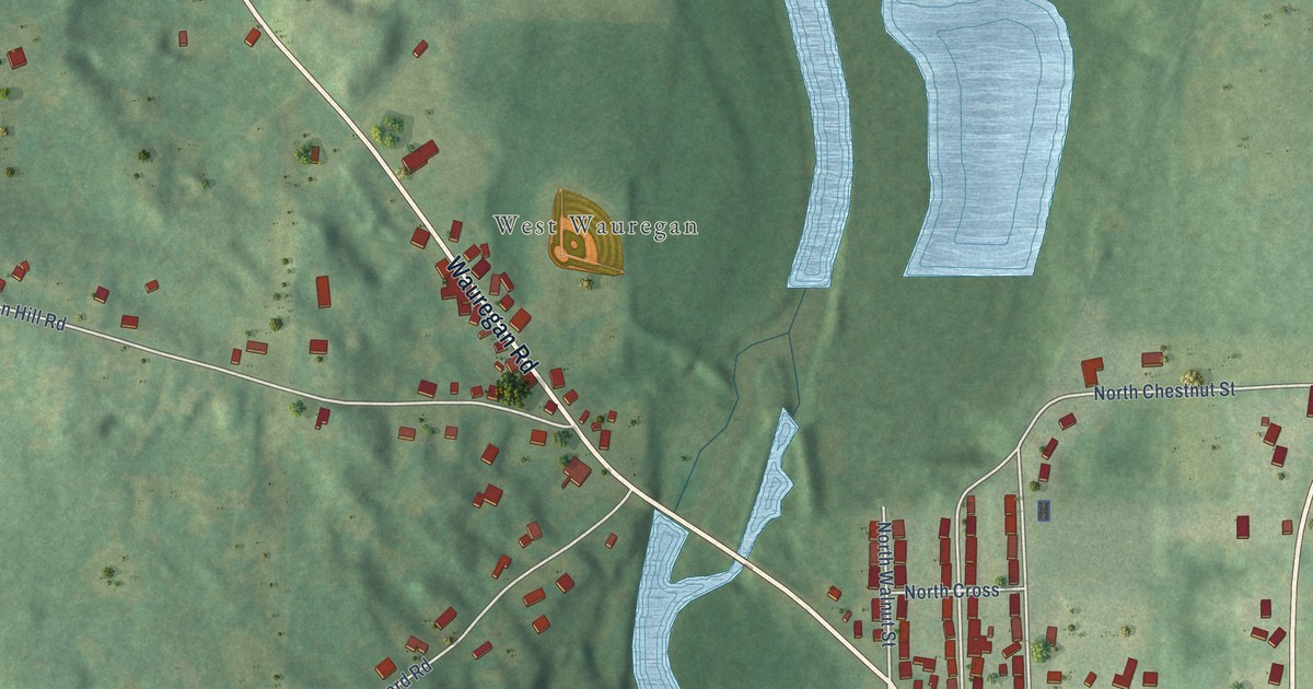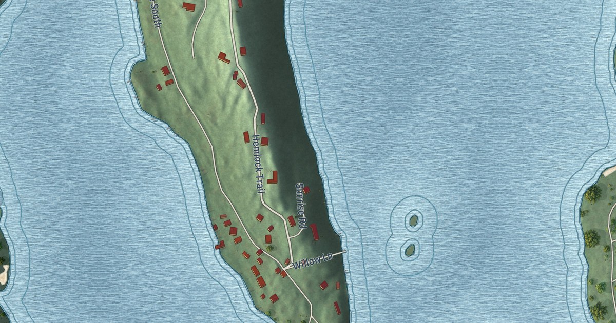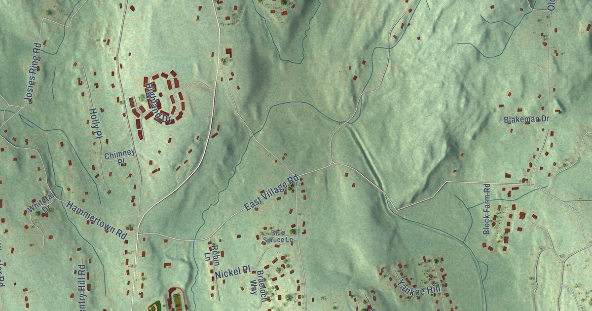
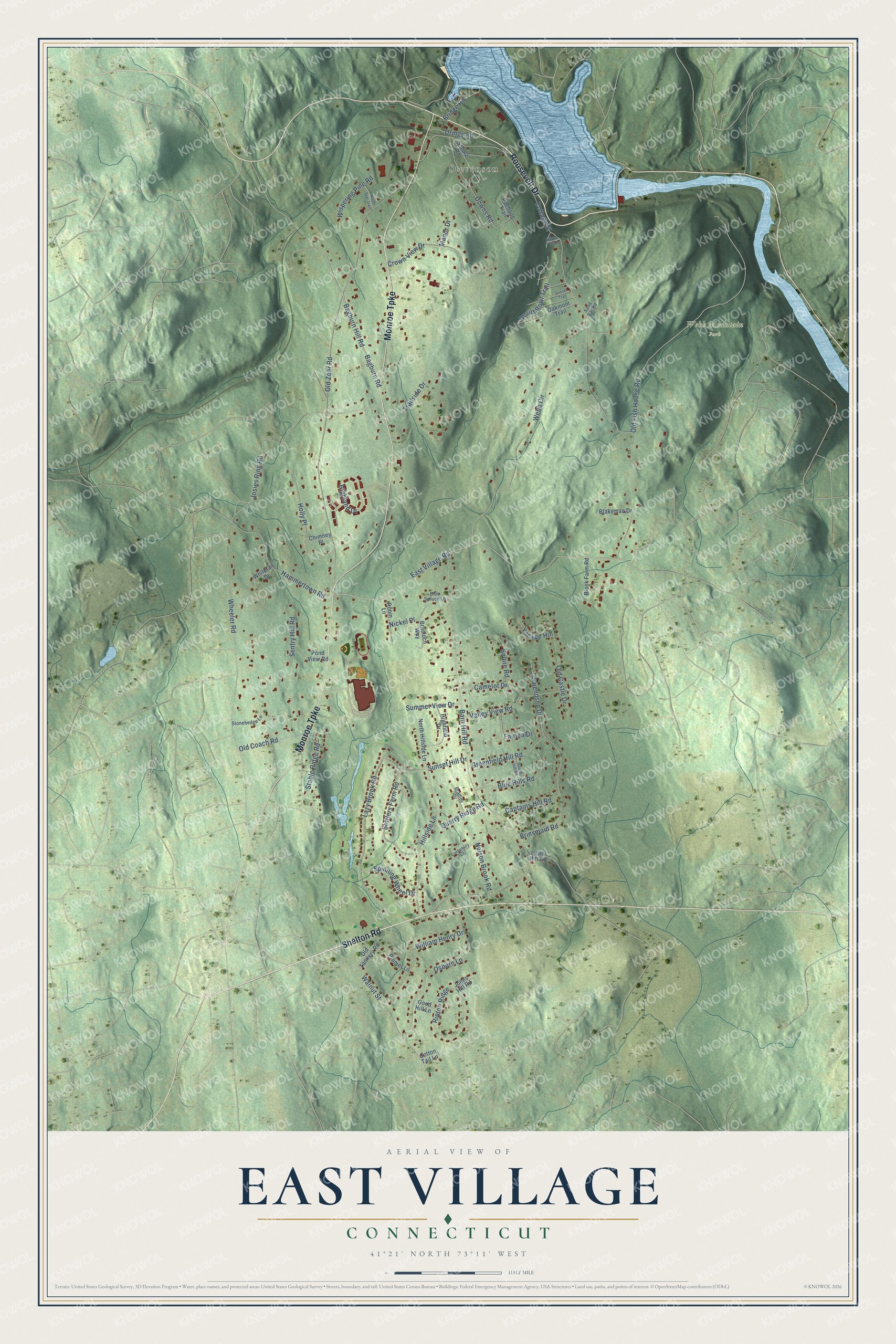
This beautifully detailed map of East Village, Connecticut was created in 2026 using aerial imagery combined with modern topographical, census, street and landmark data. It's a modern aerial view of East Village in Greater Bridgeport Planning Region, Connecticut, that combines modern data with a vintage aesthetic. The roads feature printed names, and if you look closely you can find your exact house accurately shown in its correct location.
Explore an aerial view of East Village, Connecticut
On this map you'll find Stevenson, Webb Mountain Park, Shelton Road, Roosevelt Drive, Monroe Turnpike, East Village Road, Bagburn Road, Bagburn Hill Road, Devils Bowl Trail, Barn Hill Road, Webb Circle, Old Zoar Road, and more. Each red shape is a building, so zoom in on the preview and look for yours.
East Village is a community in Greater Bridgeport Planning Region. The Census Bureau counted 4,057 people here in 2020. East Village sits about 4 miles east of Botsford, 4 miles southeast of Sandy Hook and 5 miles northwest of Shelton. The map prints the town name in its title panel, with the coordinates below it.
Take a closer look at the East Village map
Names on this map
These names are printed on this map.
Places: Stevenson and Webb Mountain Park.
Streets and roads: Shelton Road, Roosevelt Drive, Monroe Turnpike, East Village Road, Bagburn Road, Bagburn Hill Road, Devils Bowl Trail, Barn Hill Road, Webb Circle, Old Zoar Road, Cottage Street, Old Fish House Road.
More street names, A to Z
Birch Trail, Blakeman Drive, Block Farm Road, Blue Hills Road, Blue Spruce Lane, Bradley Drive, Braeloch Way, Bridge Road, Brinsmaid Road, Camelot Drive, Canterbury Lane, Captains Hill Road, Chimney Place, Cotton Tail Lane, Crown View Drive, Downs Road, Drings Road, Fairlea Drive, Good Hill Lane, Greenfield Hill Road, Hammertown Road, Highfield Drive, Highland Drive, Hillside Lane, Holly Place, Israel Hill Road, Jones Hill Road, Josies Ring Road, Lazy Brook Road, Manor Drive, Nelson Brook Road, Nickel Place, North Hillside Lane, North Star Trail, Oakmont Trail, Old Castle Drive, Old Coach Road, Old Tannery Road, Osborn Lane, Pachaug Trail, Plumer Lane, Pond View Road, Quarry Ridge Road, Ripton Ridge, Robin Lane, Round Hill Road, Sand Bar Road, Scholz Road, Sentry Hill Road, Settlers Farm Road, Spinning Wheel Drive, Squire Road, Stable Ridge Road, Stonehedge Lane, Summer View Drive, Sunset Hill Drive, Sunset Trail, Swendsen Drive, Trailside Drive, Valley View Road, Walnut Street, Wheeler Road, Whitetail Drive, William Henry Drive, Wispering Pine Road, Yankee Hill.
See it on a wall
The East Village map as a framed print. Swipe for more.


Created by KNOWOL in 2026. The buildings are small red shapes, the roads carry their printed names, and shaded relief shows the shape of the land. The title panel reads "AERIAL VIEW OF EAST VILLAGE, CONNECTICUT" with 41°21' NORTH 73°11' WEST.
It looks right in a kitchen, an office or a den, and it's a gift for anyone who grew up in East Village or moved away. Open the preview and find your street. See sizes and frames for the East Village map.