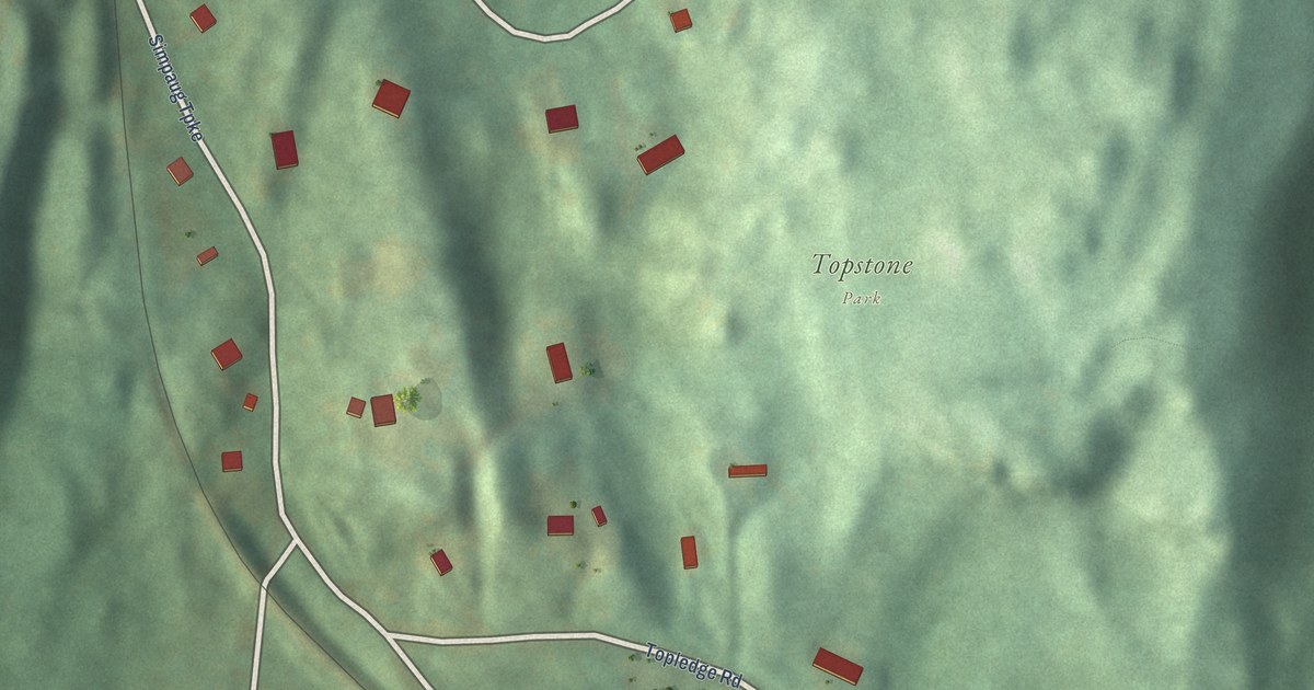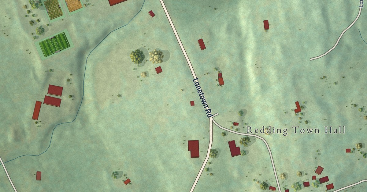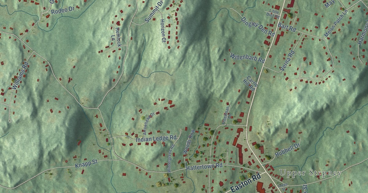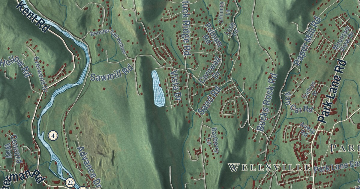
This beautifully detailed map of New Milford, Connecticut was created in 2026 using aerial imagery combined with modern topographical, census, street and landmark data. It’s a one-of-a-kind view of New Milford that combines accurate data with a vintage aesthetic. The map shows every building in its true location, many of the roads carry their names, and the shaded topographic relief shows the shape of the land.
See it on a wall
The New Milford map as an 18 x 24 inch print in a black frame.

Explore an aerial view of New Milford, Connecticut
On the map you’ll find Downtown, Candlewood Lake Club, Aspetuck Hill, Baldwin Hill, Barnes Hill, Bear Hill, Cedar Hill Pond, Day Pond, Carter Preserve, Reservoir Park, Hickory Haven, Candlewood Point, and more. If you look closely you can even find your house accurately drawn in its correct location. Zoom in on the preview to look for yours. Click here to learn more about the history of New Milford.
Take a closer look at the New Milford map
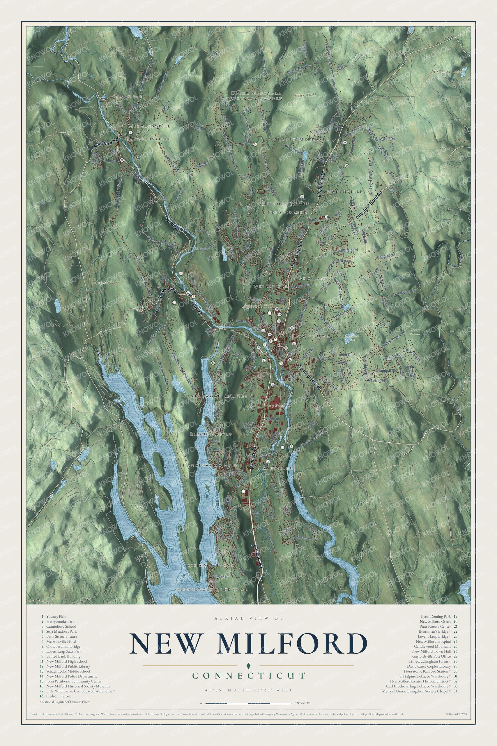
Click to explore a larger preview. The digital watermark does not appear on printed maps.
Names on this map
These names are printed on this map.
Places: Downtown, Candlewood Lake Club, Aspetuck Hill, Baldwin Hill, Barnes Hill, Bear Hill, Cedar Hill Pond, Day Pond, Carter Preserve, Reservoir Park, Hickory Haven, Candlewood Point, Hurds Corner, Lower Merryall, Gaylordsville, Park Lane, Upper Merryall, Birch Groves, Candlewood Springs, Lanesville, Chimney Point, Wellsville, Northville, Merwinsville and Erickson Corner.
Streets and roads: Danbury Road, Park Lane Road, Litchfield Road, Kent Road, Webatuck Road, Sherman Road, Chestnut Land Road, Prospect Hill Road, Second Hill Road, Judds Bridge Road, Mine Hill Road, Grove Street.
More street names, A to Z
Advance Drive, Aldrich Road, Amanda Lane, Arcadia Lane, Ash Lane, Aspetuck Avenue, Aspetuck Ridge Road, Avery Road, Bass Road, Bayberry Lane, Beach Drive, Beardsley Road, Bear Hill Road, Bear Lane, Big Bear Hill Road, Birch Lane, Boardman Road, Bonnie Vue Lane, Bostwick Road, Bridle Road, Browns Forge Road, Bucks Rock Road, Bullymuck Road, Burnett Road, Candlewood Lake Road North, Candlewood Mountain Road, Carl's Lane, Carmen Hill Road No 1, Carmen Hill Road No 2, Cathryn Street, Cedar Hill Road, Cedar Vale Drive, Chapin Road, Cherniske Road, Chinmoy Lane, Church Road, Colonial Ridge Drive, Concord Way, Connelly Road, Cornwall Drive, Cortland Drive, Crossmon Road, Cross Road, Dahle Road, Day Lane, Dean Road, Dodd Road, Dorset Drive, Dorwin Hill Road, Echo Drive, Erickson Road, Everwood Drive, Executive Center Drive, Ferris Estates Road, Fogarty Lane, Fordyce Court, Fort Hill Road, Fox Ridge Drive, Fox Run, Frenchmans Road, Gaffney Road, Gaylord Road, Geiger Road, Great Brook Road, Green Pond Road, Greenview Road, Gretl Lane, Grove Road, Hall Lane, Halpine Road, Hartwell Road, Hawthorne Lane, Heacock Crossbrook Road, Hemlock Ridge, Heritage Drive, Hine Hill Road, Hine Road, Hipp Road, Housatonic Avenue, Indian Trail Road, Kemp Drive, Kent Hollow Road, Lake Drive, Legion Road, Lesh Lane, Lester Lane, Lillis Road, Lily Pond Trail, Little Bear Hill Road, Littlefield Road, Lone Oak Drive, Long Mountain Road, Lovers Leap Road, Lower Grove Street, Mallett Lane, Maple Drive, Maplewood Drive, Mare Lane, McMahon Road, McNulty Drive, Meredith Lane, Merryall Road, Mill Lane, Mine Hill Road West, Mine Road, Mist Hill Drive, Morey Road, Mountain Drive, Mountain View Drive, Mount Tom Road, Mud Pond Road, New Bridge Road, New Preston Hill Road, Newton Road, North Road, Norton Lane, Old Mill Road, Old Ridge Road, Old Stone Road, Old Town Park Road, Overlook Drive, Paper Mill Road, Park Lane East, Peet Hill Road, Perry Drive, Pickett District Road, Pine Drive, Pleasant View Road, Pumpkin Hill Road, Putnam Road, Reservoir Road, Revere Road, Ridge Road, River Road, Rocky River Road, Rolling Glen Drive, Rooster Tail Hollow, Saddle Ridge Road, Sand Road, Sawmill Road, Sawyer Hill Road, Sherry Lane, Silver Birch Road, Skyview Drive, South Kent Road, South Main Street, South Old Stone Road, Squash Hollow Road, Squire Hill Road, Standish Road, Stephanie Drive, Still River Drive, Stilson Hill Road, Stonecastle Road, Stone Oak Drive, Sullivan Farm, Sullivan Road, Sunny Valley Road, Tamarack Road, Taylor Road, Taylor Terrace, Town Farm Road, Turkey Trot Road, Unicorn Drive, Upland Road, Upper Church Hill Road, Upper Reservoir Road, Van Car Road, Vista Drive, Walker Brook Drive, Walker Brook Road, Washington Ridge Road, Wells Road, Wellsville Avenue, West Meetinghouse Road, West Street, Wheaton Road, Wieting Road, Wood Creek Road.
This beautifully detailed map of New Milford makes an attractive addition to your office, library, or den, and it can even be used to teach children the geography and history of the area. It also makes a great gift for anyone who grew up in New Milford or moved away. When you’re done exploring, click here to get your copy of the New Milford map.