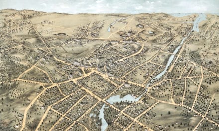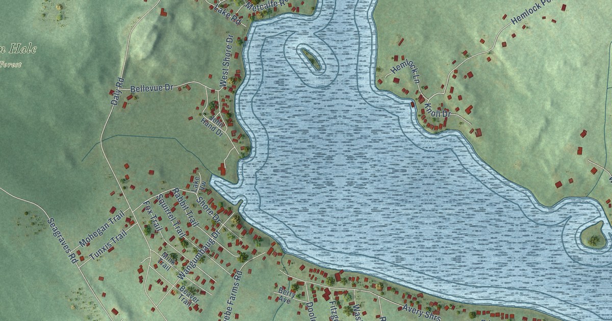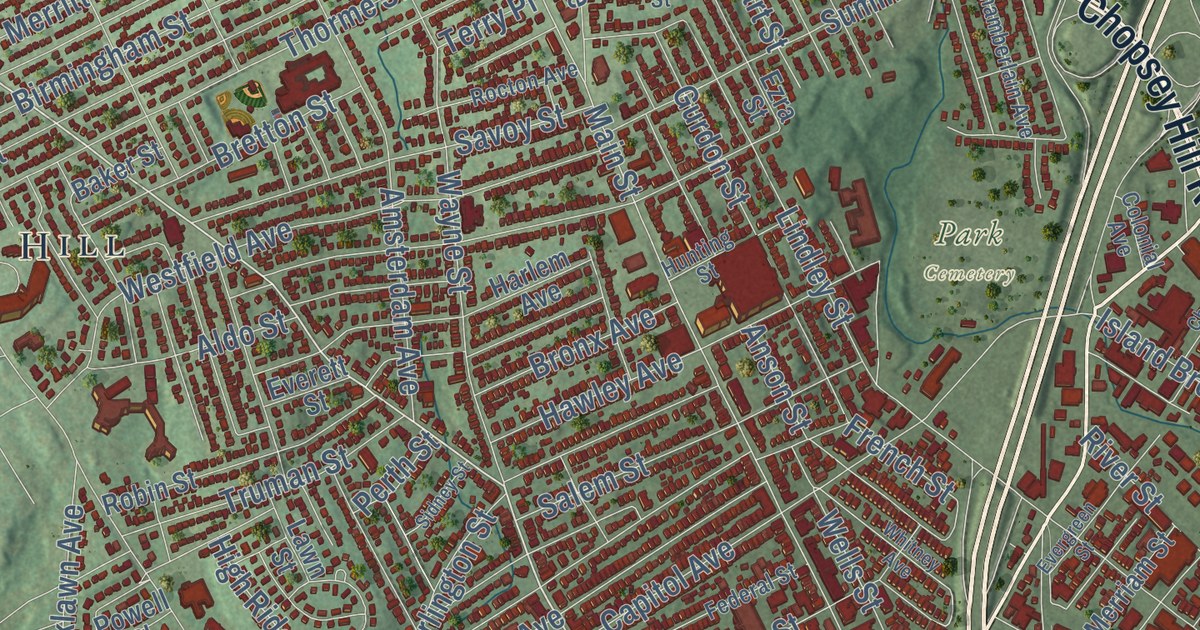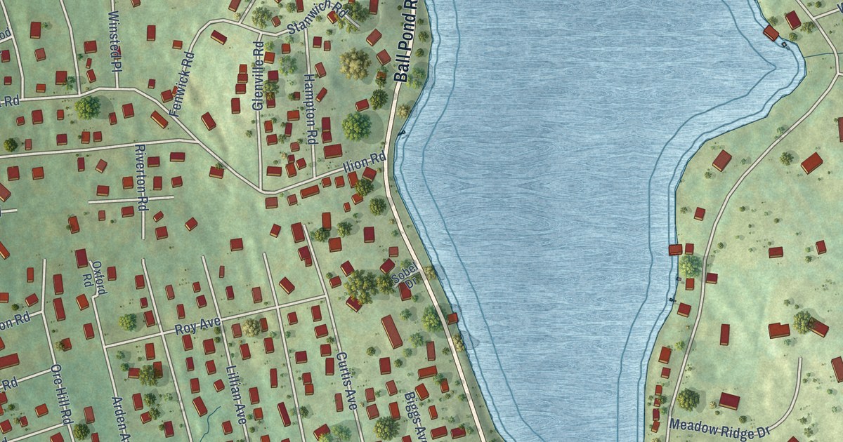
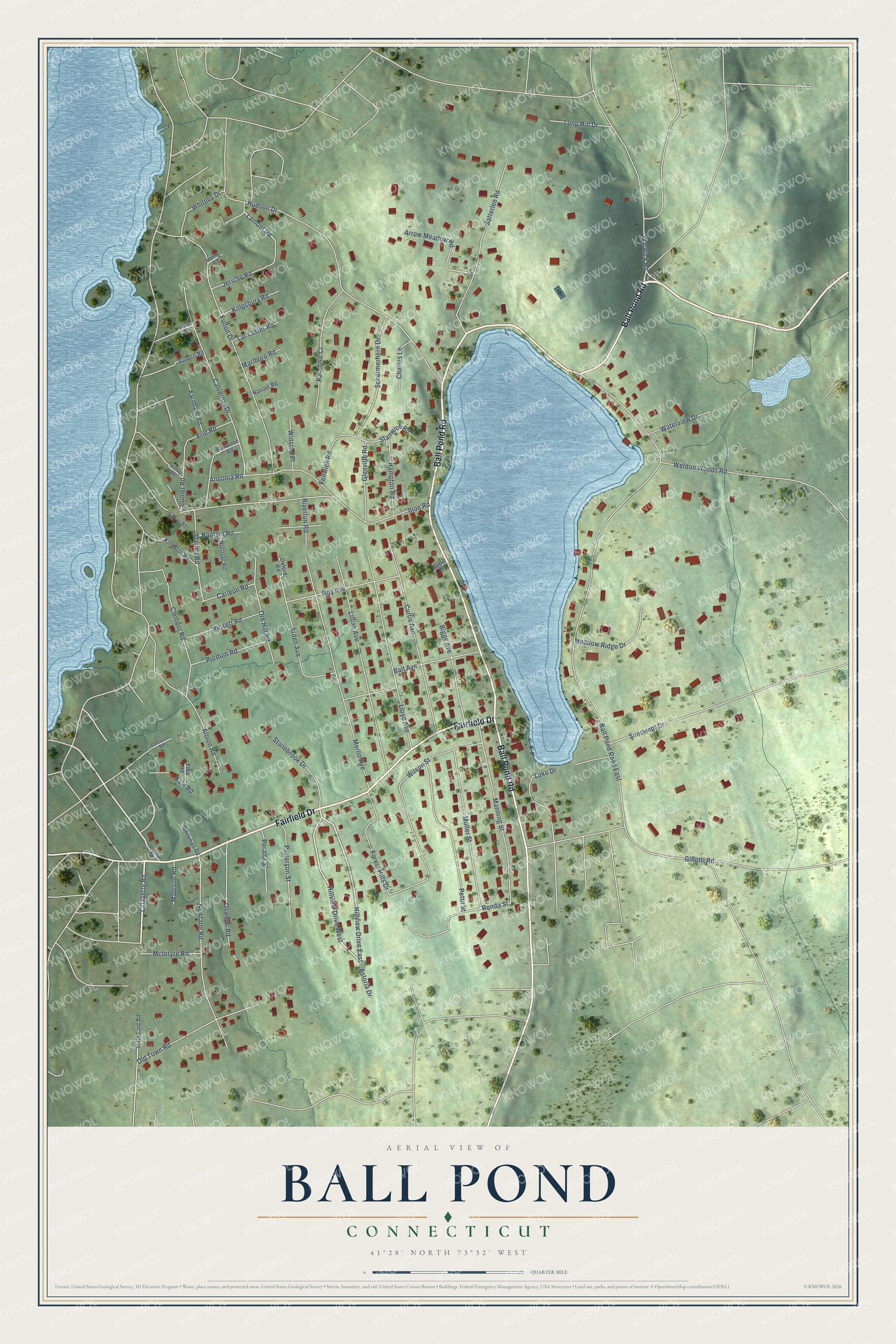
This beautifully detailed map of Ball Pond, Connecticut was created in 2026 using aerial imagery combined with modern topographical, census, street and landmark data. It's a modern aerial view of Ball Pond in Western Connecticut Planning Region, Connecticut, that combines modern data with a vintage aesthetic. The roads feature printed names, and if you look closely you can find your exact house accurately shown in its correct location.
Explore an aerial view of Ball Pond, Connecticut
On this map you'll find Ball Pond Road, Fairfield Drive, Lafayette Road, Lamont Road, Ball Pond Road East, Hudson Drive, Ilion Road, Gillotti Road, Forest Hills Drive, Fulton Drive, Merlin Avenue, Lillian Avenue, and more. Each red shape is a building, so zoom in on the preview and look for yours.
Ball Pond is a community in Western Connecticut Planning Region. The Census Bureau counted 2,189 people here in 2020. Ball Pond sits about 3 miles west of Candlewood Knolls, 3 miles west of Kellogg Point and 4 miles southwest of Knollcrest. The map prints the town name in its title panel, with the coordinates below it.
Take a closer look at the Ball Pond map
Names on this map
These names are printed on this map.
Streets and roads: Ball Pond Road, Fairfield Drive, Lafayette Road, Hillview Drive East, Hillview Drive West, Lamont Road, Ball Pond Road East, Hudson Drive, Ilion Road, Gillotti Road, Forest Hills Drive, Fulton Drive.
More street names, A to Z
Albion Road, Ansonia Road, Arden Avenue, Arrow Meadow Road, Astoria Drive, Auburn Road, Ball Avenue, Bantam Road, Berwick Road, Biggs Avenue, Calumet Road, Calverton Drive, Cameron Road, Carleon Road, Charles Lane, Clement Road, Curtis Avenue, Dale Road, Darien Road, Elba Road, Elmwood Road, Erie Road, Farnham Road, Fenwick Road, Glenville Road, Hadley Road, Hampton Road, Irving Road, Jackson Road, Jericho Road, Kingsbury Road, Kingston Road, Lake Drive, Lancaster Road, Lillian Avenue, Lloyd Avenue, Long Hill Drive, Madison Road, Manning Street, Marlboro Road, McIntyre Road, Meadow Ridge Drive, Merlin Avenue, Muller Street, Nanuet Road, Newfane Road, Noroton Road, Old Town Road, Ore Hill Road, Oswego Road, Oxford Road, Paradise Court, Patterson Street, Peralta Street, Pettit Street, Pickett Road, Purdum Road, Renda Street, Riverton Road, Roy Avenue, Satterlee Road, Schermerhorn Drive, Shoreham Drive, Sobel Drive, Stanwich Road, State Line Road, Stonebrook Drive, Sunswept Drive, Warwick Road, Waterview Drive, Weldon Woods Road, Whitehall Road, Whitney Drive, Wilson Street, Winsted Place.
See it on a wall
The Ball Pond map as a framed print. Swipe for more.


Created by KNOWOL in 2026. The buildings are small red shapes, the roads carry their printed names, and shaded relief shows the shape of the land. The title panel reads "AERIAL VIEW OF BALL POND, CONNECTICUT" with 41°28' NORTH 73°32' WEST.
It suits a den, a classroom or a front hall, and it makes a gift for anyone with Ball Pond roots. Open the preview and find the block you know. See sizes and frames for the Ball Pond map.