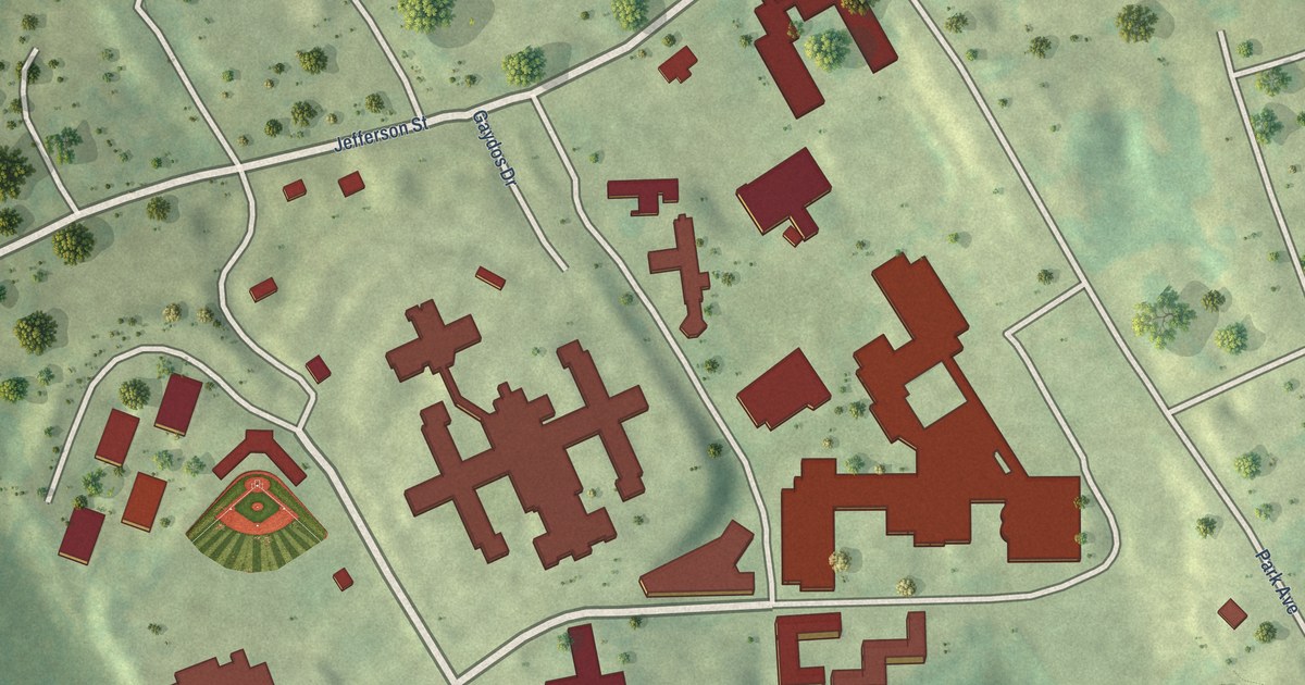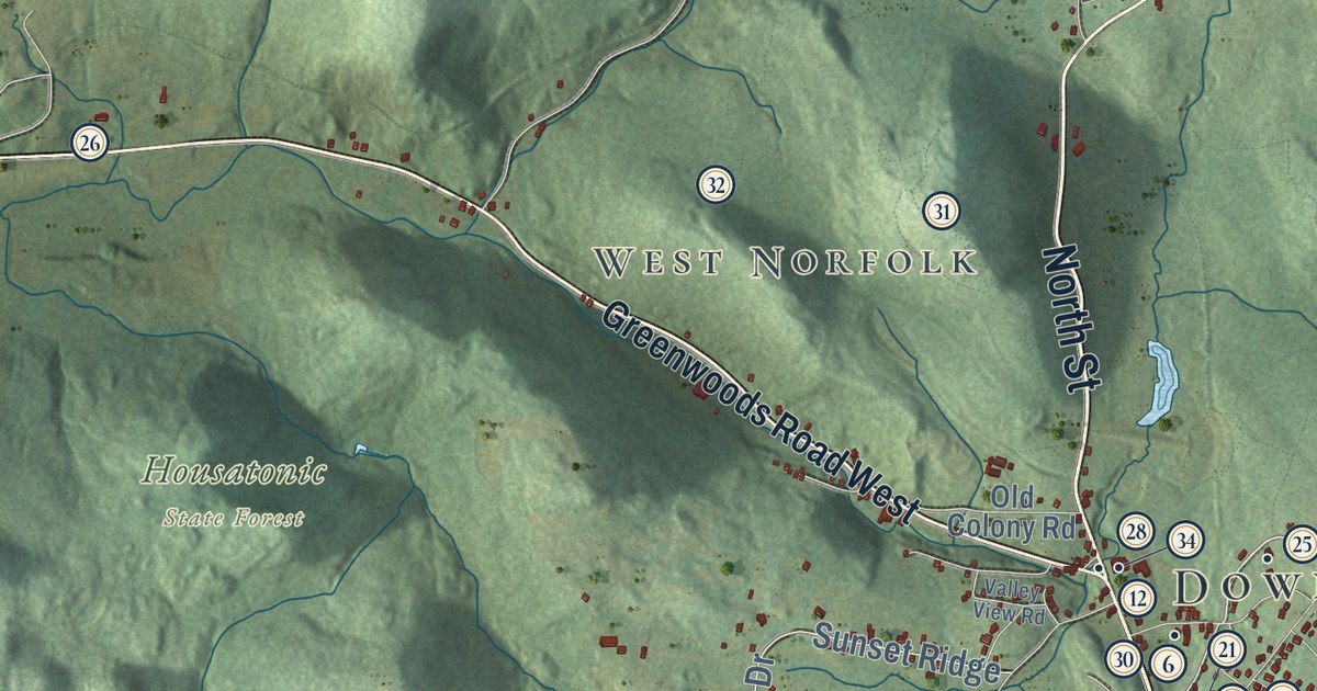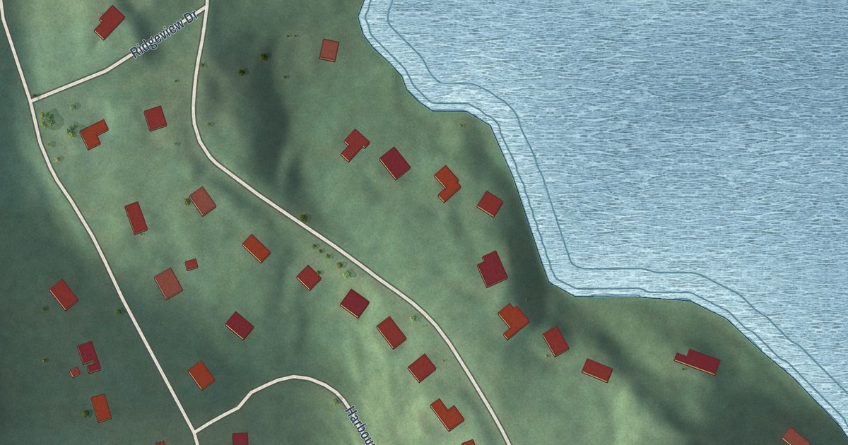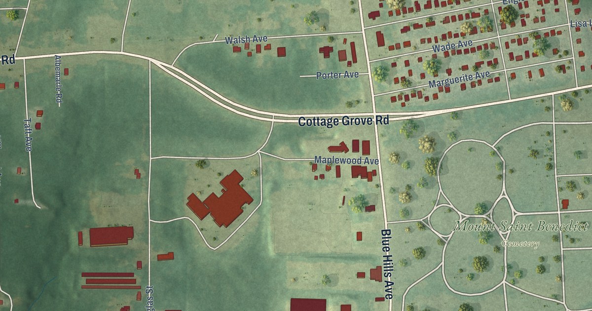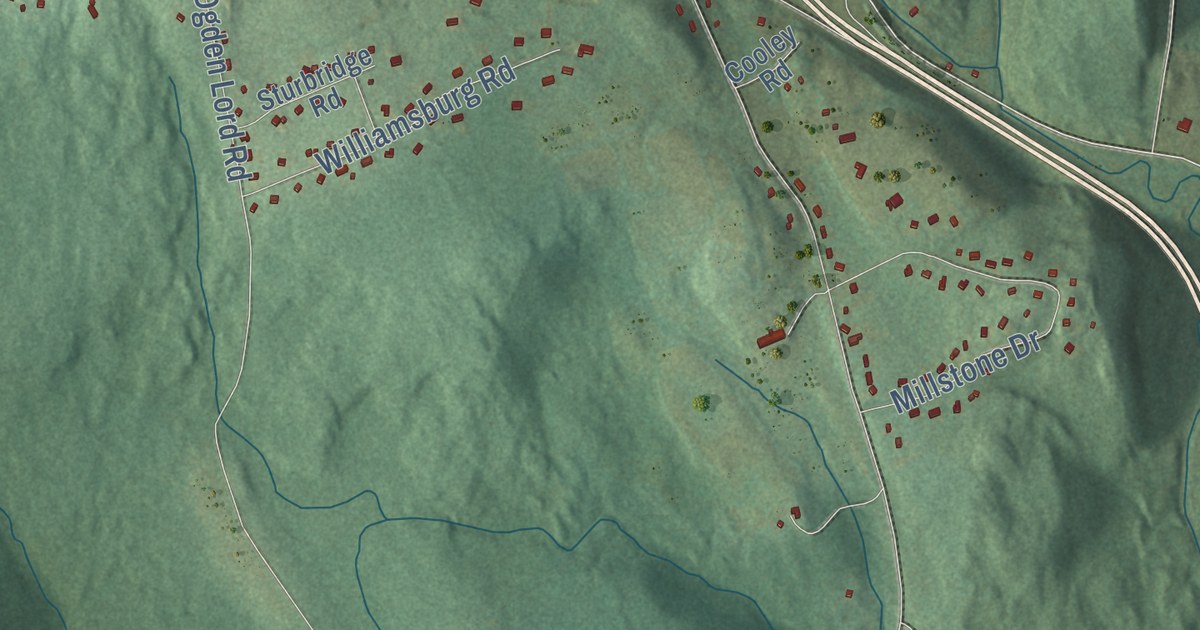
This beautifully detailed map of Marlborough, Connecticut was created in 2026 using aerial imagery combined with modern topographical, census, street and landmark data. It’s a one-of-a-kind view of Marlborough that combines accurate data with a vintage aesthetic. The map shows every building in its true location, many of the roads carry their names, and the shaded topographic relief shows the shape of the land.
See it on a wall
The Marlborough map as an 18 x 24 inch print in a black frame.

Explore an aerial view of Marlborough, Connecticut
On the map you’ll find Downtown, Terramuggus, Four Corners, Arrow Point, Baker Hill, Carter Hill, Chalker Hill, Lake Terramuggus, Loos Pond, Salmon River State Forest, and Meshomasic State Forest, along with Hebron Road, and more. If you look closely you can even find your house accurately drawn in its correct location. Zoom in on the preview to look for yours. Click here to learn more about the history of Marlborough.
Take a closer look at the Marlborough map
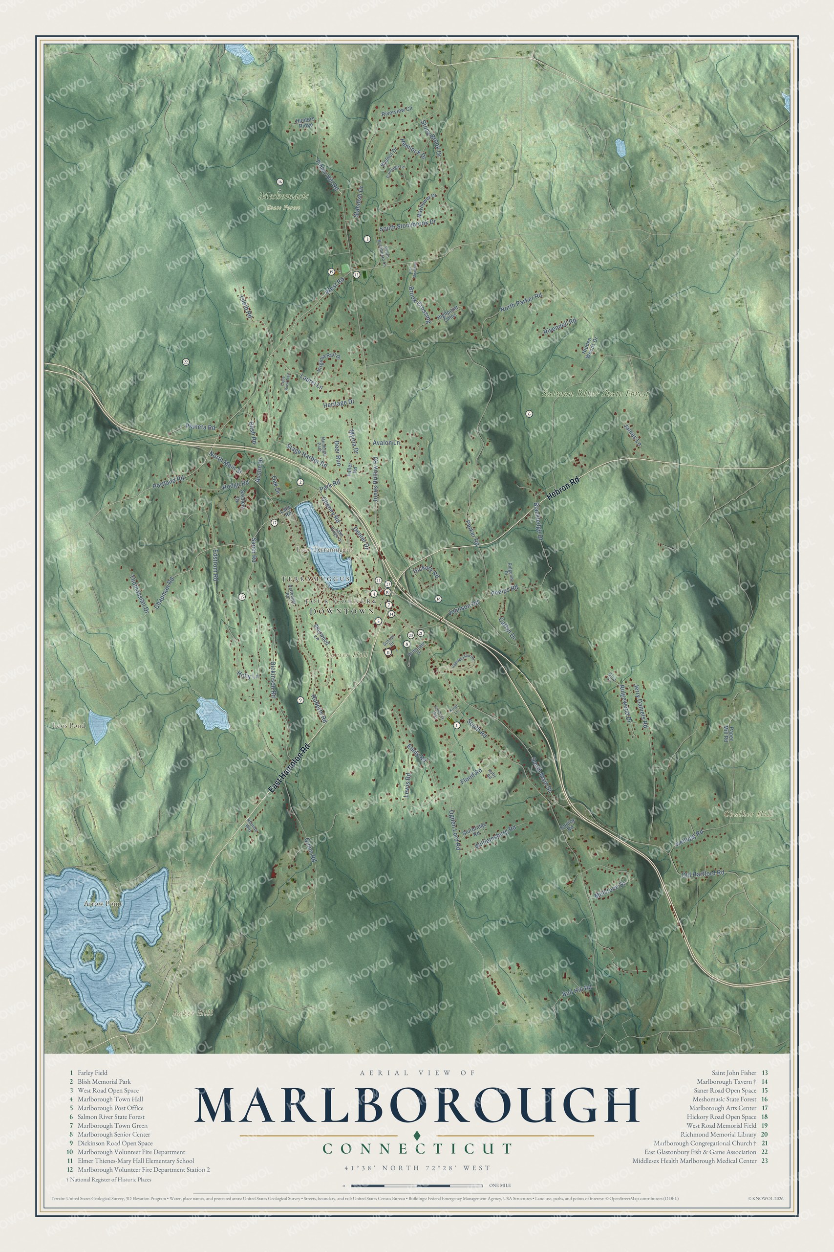
Click to explore a larger preview. The digital watermark does not appear on printed maps.
Names on this map
These names are printed on this map.
Places: Downtown, Terramuggus, Four Corners, Arrow Point, Baker Hill, Carter Hill, Chalker Hill, Lake Terramuggus, Loos Pond, Salmon River State Forest and Meshomasic State Forest.
Streets and roads: Hebron Road, East Hampton Road, West Road, Chapman Road, Portland Road, Isleib Road, North Main Street, Finley Hill Road, South Main Street, Jones Hollow Road, South Road, Flood Road.
More street names, A to Z
Austin Drive, Avalon Lane, Blackledge Drive, Blish Road, Brook Crossing, Bull Hill Road, Caffyn Drive, Carriage Lane, Cheney Road, Cooley Road, Deer Run, Denler Drive, Dickinson Road, Eagle Rock Trail, Edstrom Road, Emily Road, Fox Meadows, Fuller Road, Gina Lane, Hemlock Drive, Heritage Drive, Hickory Road, Hidden Woods Drive, High Meadow Road, Highpoint Cmns, Hodge Road, Holly Lane, Hunters Ridge, James Lane, Jerry Daniels Road, Johnson Road, Kellogg Road, Kimberly Way, Kristi Lane, Lake Ridge Drive, Lake Road, Laurel Lane, Lewis Road, Mayflower Drive, Millstone Drive, Monhege Path, Myrna Drive, North Parker Road, Oak Drive, Ogden Lord Road, Old Hartford Road, Paper Mill Road, Parker Road, Park Road, Pettengill Road, Phelps Road, Planeta Road, Quinn Road, Rhonda Way, Ridgeline Drive, Ridgewood Drive, Rivendell Road, Riverview Circle, Roberts Road, Ruby Road, Sachem Drive, Saner Road, School Drive, Sherwood Lane, South Buckboard Lane, South Stonybrook Drive, Stage Harbor Road, Standish Drive, Stony Brook Drive, Sturbridge Road, Thomassian Drive, Virginia Rail Drive, Walnut Drive, Wilhenger Drive, Williamsburg Road.
This beautifully detailed map of Marlborough makes an attractive addition to your office, library, or den, and it can even be used to teach children the geography and history of the area. It also makes a great gift for someone who left Marlborough and still calls it home. When you’re done exploring, click here to get your copy of the Marlborough map.