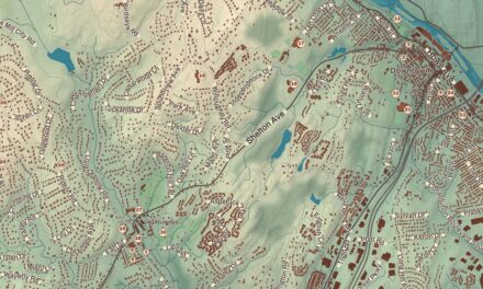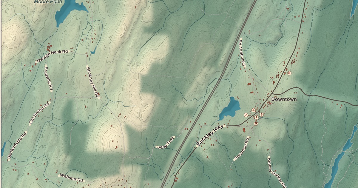
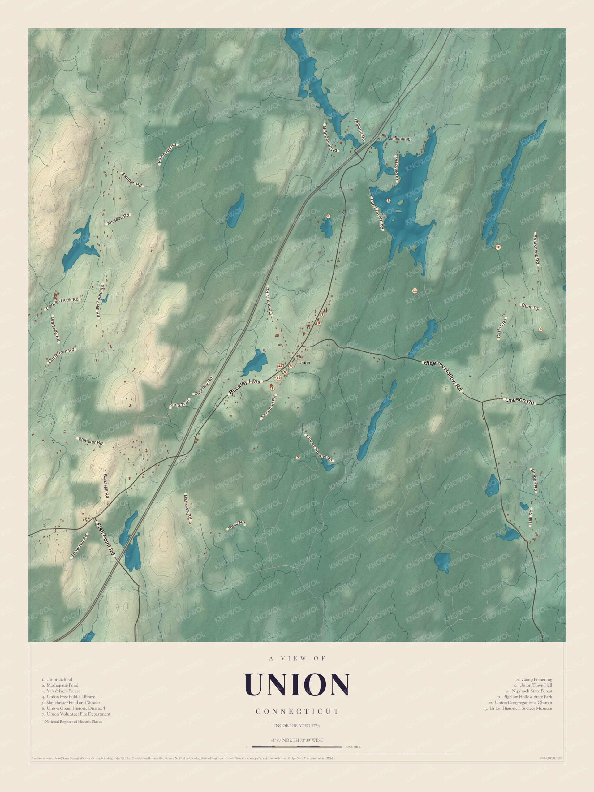
If you grew up in Union, or you’ve ever launched a canoe on Mashapaug Lake, you’ll find your town on this map just as it stands in 2026. Look for your road. Buckley Highway, Bigelow Hollow Road, Kinney Hollow Road, Town Hall Road, Mashapaug Road, Breakneck Road, Cemetery Road, Old Town Road, Stone Road, Webster Road, Lawson Road and George Heck Road are all printed by name, along with many more.
Union is in Tolland County, in the Quiet Corner of northeastern Connecticut, on the Massachusetts line.
KNOWOL made this map in 2026 from public survey data, and gave it the look of an old atlas. The shaded hills come from United States Geological Survey elevation data, and Union has plenty of them. Its town center sits at 1,015 feet, the highest in eastern Connecticut, and Burley Hill in the northwest, at 1,315 feet, is the highest point in the eastern half of the state. The streets and the town line come from the Census Bureau, right down to roads like Barrows Road. Mashapaug and Mashapaug Pond are printed by name. A guide of 13 numbered landmarks runs along the bottom, with the National Register site marked, and we checked it against National Park Service records.
The Last Town Settled
The Nipmuc people lived here first. The first European settler was James McNall of Ireland, who came in 1727, and his brother William soon followed. Union is said to be the last Connecticut town east of the Connecticut River to be settled. The town was incorporated in October 1734, and that’s the year on the title panel: Incorporated 1734. The name means a “union of lands”. Union started out in Windham County and became part of the new Tolland County on October 13, 1785.
Union was never big. It had 500 people in 1756 and 767 by 1800, then slowly shrank to 431 in 1890. At the 2020 census it had 785 people, the fewest of any town in Connecticut. About one third of the town is park and forest land, and Interstate 84 reaches its highest point in Connecticut, 1,002 feet, as it crosses Union.
Click to explore a larger preview. The digital watermark does not appear on printed maps.
Union Green
The little cluster of numbers in the middle of the map is the center of town, around a small green at the north end of a triangle of land bounded by Town Hall Road, Buckley Highway and Kinney Hollow Road. The guide marks it as the Union Green Historic District (6), listed on the National Register of Historic Places. On the green stand a Civil War monument in the form of an iron cannon and the plain clapboard town hall of 1847, which is now the Union Historical Society Museum (13). The rest of the triangle is the Union Grove, a stand of pine, oak, birch, maple and hemlock, where a rough granite slab from 1908 marks the site of the first meetinghouse of 1741. Old Home Day is held at the pavilion every August.
On a knoll above the green is the Union Congregational Church (12), the meetinghouse of 1841, with a square tower and a Gothic-arch window in its gable. The Union Free Public Library (4) is a brick Classical Revival building finished in 1912. The library itself goes back to a town meeting in November 1894, and it opened on March 25, 1895, in a private home. The old part of the town cemetery, with dozens of gravestones from the 1700s and early 1800s, is at the north edge of the district.
Across from the grove is Union School (1), built in 1950, the one school in town, for kindergarten through eighth grade. Union Town Hall (9) and the Union Volunteer Fire Department (7) are close by.
Mashapaug and the Forests
Up in the northeast, on the Massachusetts line, is the village of Mashapaug and the lake beside it, Mashapaug Pond (2), also called Mashapaug Lake. It covers 287 acres and draws people for fishing, boating and swimming. Just south of the lake is Bigelow Hollow State Park (11), 516 acres set in a hollow some 700 feet below the ridges around it. It was carved out of Nipmuck State Forest in 1949, and it has trails to Breakneck Pond, a quiet lake you can only reach on foot, and a boat launch on Bigelow Pond.
Nipmuck State Forest (10) wraps around the park, 9,000 acres with more than 30 miles of trails, and on Snow Hill in its western part is the Mountain Laurel Sanctuary, where the laurel grows 15 to 20 feet tall. Yale-Myers Forest (3), 7,840 acres owned by Yale University, spreads across Union, Ashford, Eastford and Woodstock. Yale uses it for research, teaching and timber, and the Nipmuck Trail runs through it.
Camp Pomeraug (8), as the guide spells it, is Camp Pomperaug, a Boy Scout camp next to the state forest that moved here from Lake Zoar in Monroe. The camp holds the stone foundations of Wells Mill and a small cemetery where soldiers of the Revolution are buried. Manchester Field and Woods (5) is in the guide too.
This map of Union makes a handsome addition to a living room, office, library or den, and it can even help teach children the geography and history of the town. It’s a thoughtful gift for anyone who calls Union home, grew up here, or moved away. Created by KNOWOL in 2026, it’s printed on museum quality archival paper in three sizes. Zoom in on the preview above to explore the details, then click here to get your copy of the Union map.

Sources