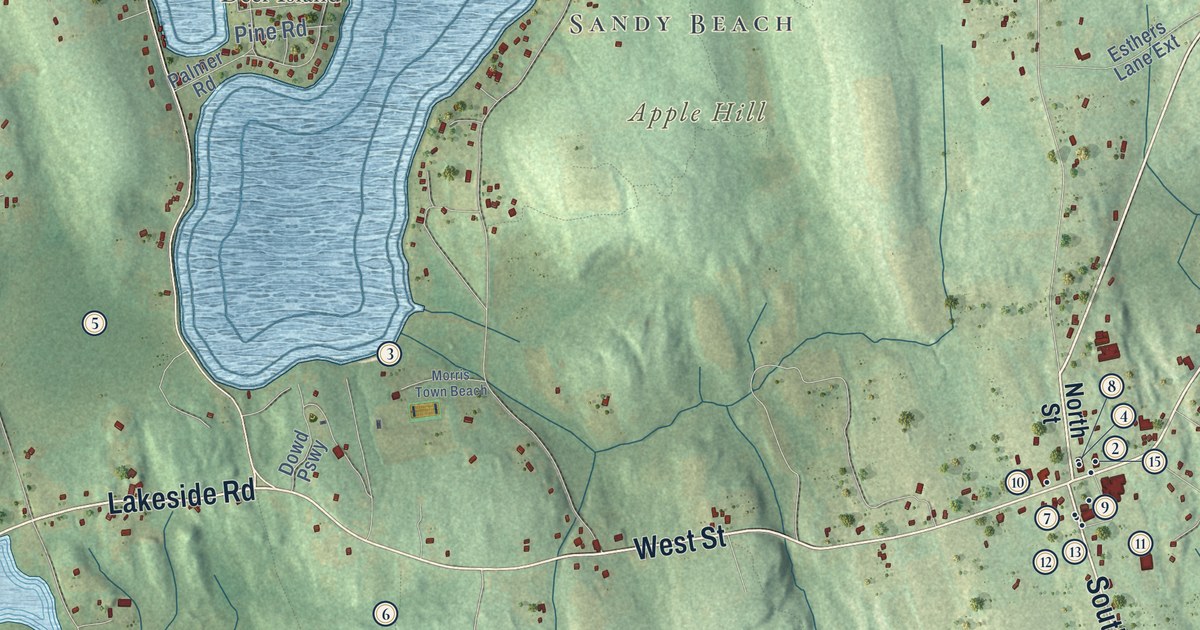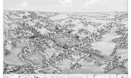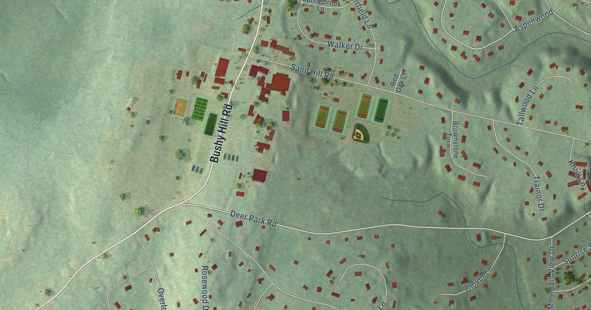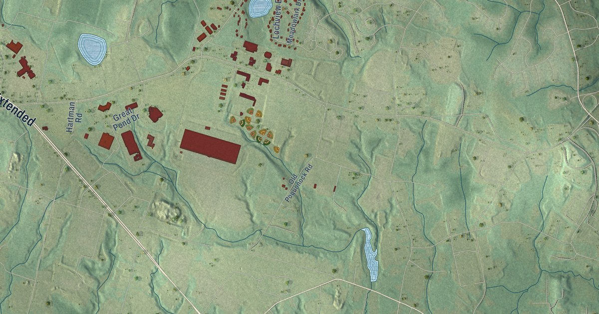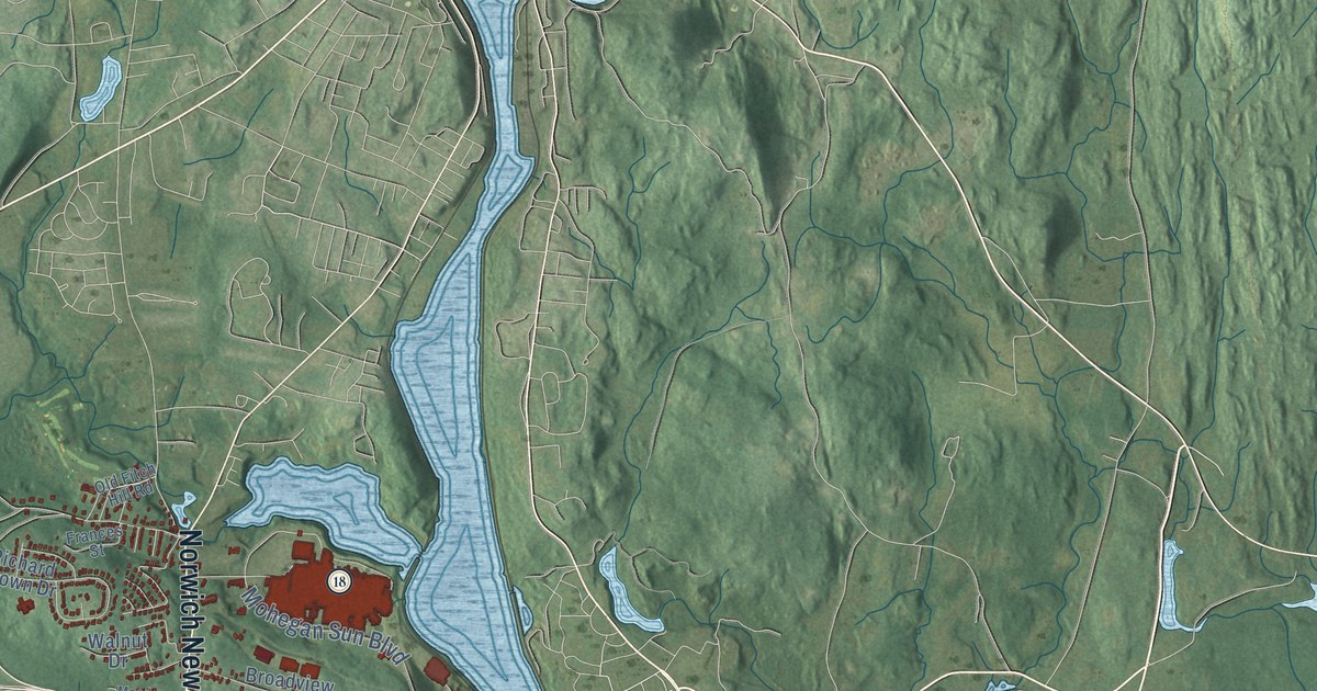
This beautifully detailed map of Montville, Connecticut was created in 2026 using aerial imagery combined with modern topographical, census, street and landmark data. It’s a one-of-a-kind view of Montville that combines accurate data with a vintage aesthetic. The map shows every building in its true location, many of the roads carry their names, and the shaded topographic relief shows the shape of the land.
See it on a wall
The Montville map as an 18 x 24 inch print in a black frame.

Explore an aerial view of Montville, Connecticut
On the map you’ll find Downtown, Chesterfield, Allyn Mountain, Bargy Ledges, Barnville Hill, Bartlett Hill, Barnes Reservoir, Beckwith Pond, Milo Light Nature Preserve, Mohegan, Silver Falls, Fitch Corner, and more. If you look closely you can even find your house accurately drawn in its correct location. Zoom in on the preview to look for yours. Click here to learn more about the history of Montville.
Take a closer look at the Montville map
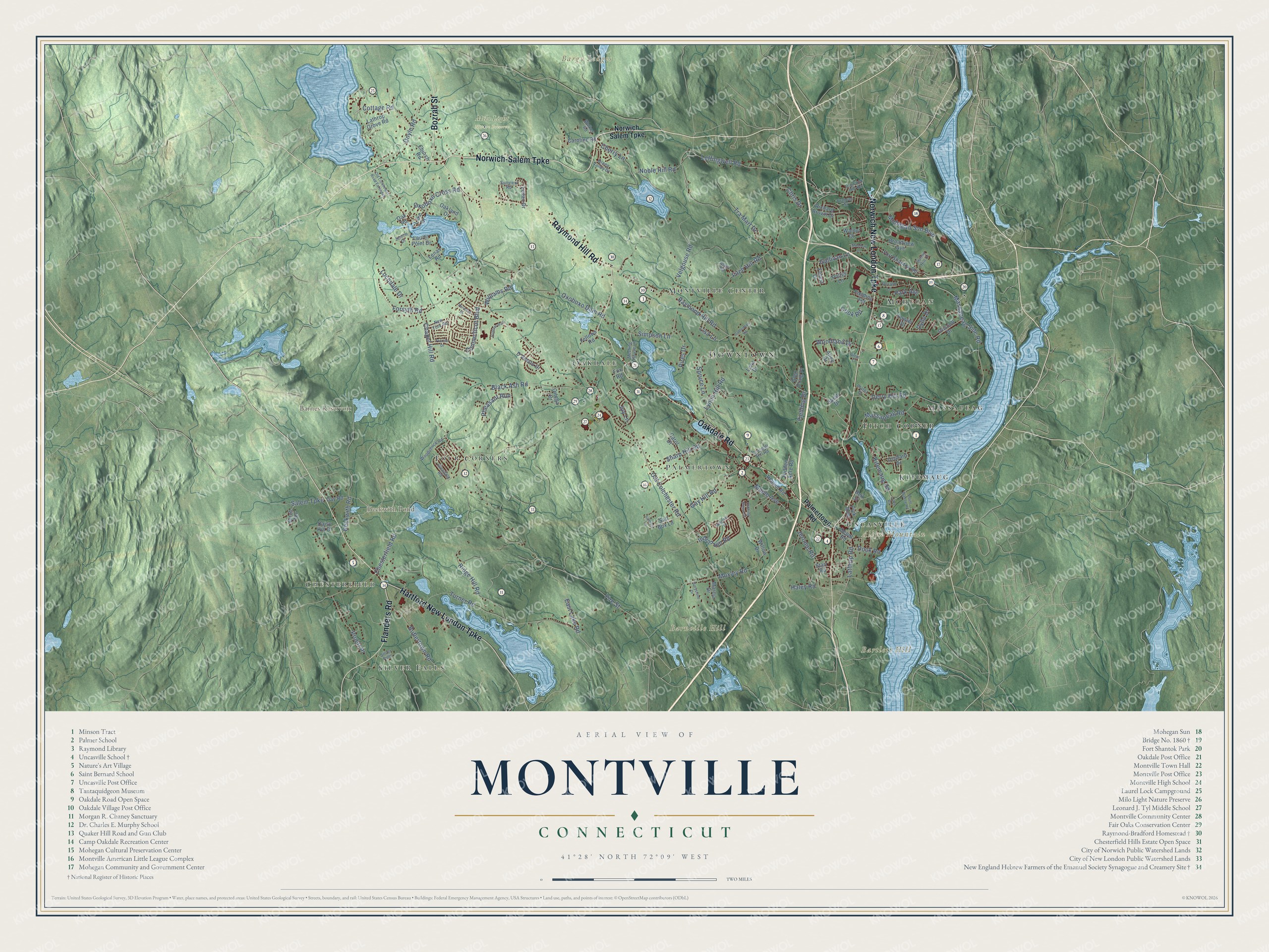
Click to explore a larger preview. The digital watermark does not appear on printed maps.
Names on this map
These names are printed on this map.
Places: Downtown, Chesterfield, Allyn Mountain, Bargy Ledges, Barnville Hill, Bartlett Hill, Barnes Reservoir, Beckwith Pond, Milo Light Nature Preserve, Mohegan, Silver Falls, Fitch Corner, Uncasville, Massapeag, Montville Center, Four Corners, Palmertown, Kitemaug and Oakdale.
Streets and roads: Norwich-Salem Turnpike, Hartford New London Turnpike, Norwich New London Turnpike, Oakdale Road, Raymond Hill Road, Flanders Road, Bozrah Street, Cherry Lane, Old Colchester Road, Chesterfield Road, Fire Street, Fitch Hill Road.
More street names, A to Z
Allen Drive, Beckwith Road, Beit Street, Birch Terrace, Black Ash Road, Blais Road, Broadview Avenue, Butlertown Road, Carol Drive, Caroline Road, Chapel Hill Road, Chris Drive, Church Road, Connecticut Boulevard, Cook Road, Cottage Road, Cove Road, Crandall Hill Road, D'Amato Drive, Daisy Hill Drive, Day Road, Depot Road, Derry Hill Road, Dock Road, Doyle Road, Driscoll Drive, Dydo Drive, East Lake Road, Fellows Road, Fielding Drive, Fielding Terrace, Florida Drive, Forest Drive, Forsyth Road, Fort Shantok Road, Fowler Drive, Fox Road, Frances Street, Gallivan Lane, Gay Hill Road, Glen Craig Place, Glendale Road, Green Valley Drive, Greystone Drive, Gutterman Road, Haley Road, Hidden Acre Road, Hillcrest Drive, Hunters Run, Indian Hill Road, Jennie Drive, Jerome Road, Joy Lane, Kitemaug Road, Lake Drive, Lathrop Grove Road, Lathrop Road, Laurel Point Drive, Leffingwell Road, Leitao Drive, Lena Drive, Lenas Road, Lisa Lane, Lochdale Drive, Looking Glass Circle, Lynch Hill Road, Maple Avenue, Marcia Drive, Massapeag Road, Massapeag Side Road, Meadow Lane, Meeting House Lane, Mohegan Sun Boulevard, Moxley Road, New York Road, Noble Hill Road, Norwich Salem Turnpike, Oakland Drive, Oak Road, Occum Lane, Old Colchester Road Extended, Old Fitch Hill Road, Orchard Drive, Ortega Drive, Oxoboxo Cross Road, Oxoboxo Dam Road, Palmertown Road, Park Avenue, Pequot Road, Pheasant Run, Pink Row, Pires Drive, Platoz Drive, Point Breeze Road, Pollys Lane, Pruett Place, Richard Brown Drive, Ridge Court, Ridge Hill Road, Salem Turnpike, Salt Box Lane, Saltbox Lane, Sarah Drive, Sharp Hill Road, Simpson Lane, Spruce Lane, Starr Road, Sunny Hill Drive, Sunview Road, Tra Mart Drive, Turner Road, Velgouse Road, Vermont Drive, Walker Road, Walnut Drive, Williams Road, Willow Drive, Woodchuck Road, Woodland Drive.
This beautifully detailed map of Montville makes an attractive addition to your office, library, or den, and it can even be used to teach children the geography and history of the area. It also makes a great gift for someone who left Montville and still calls it home. When you’re done exploring, click here to get your copy of the Montville map.