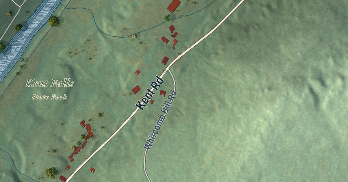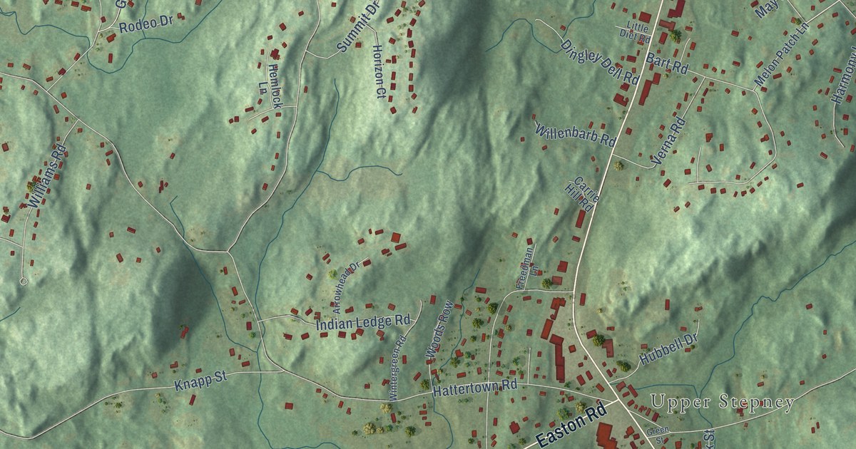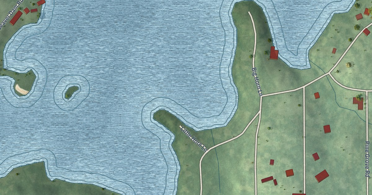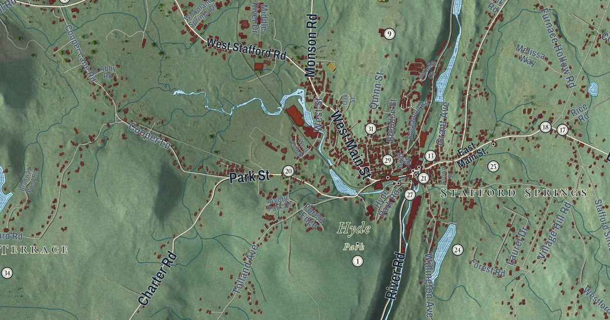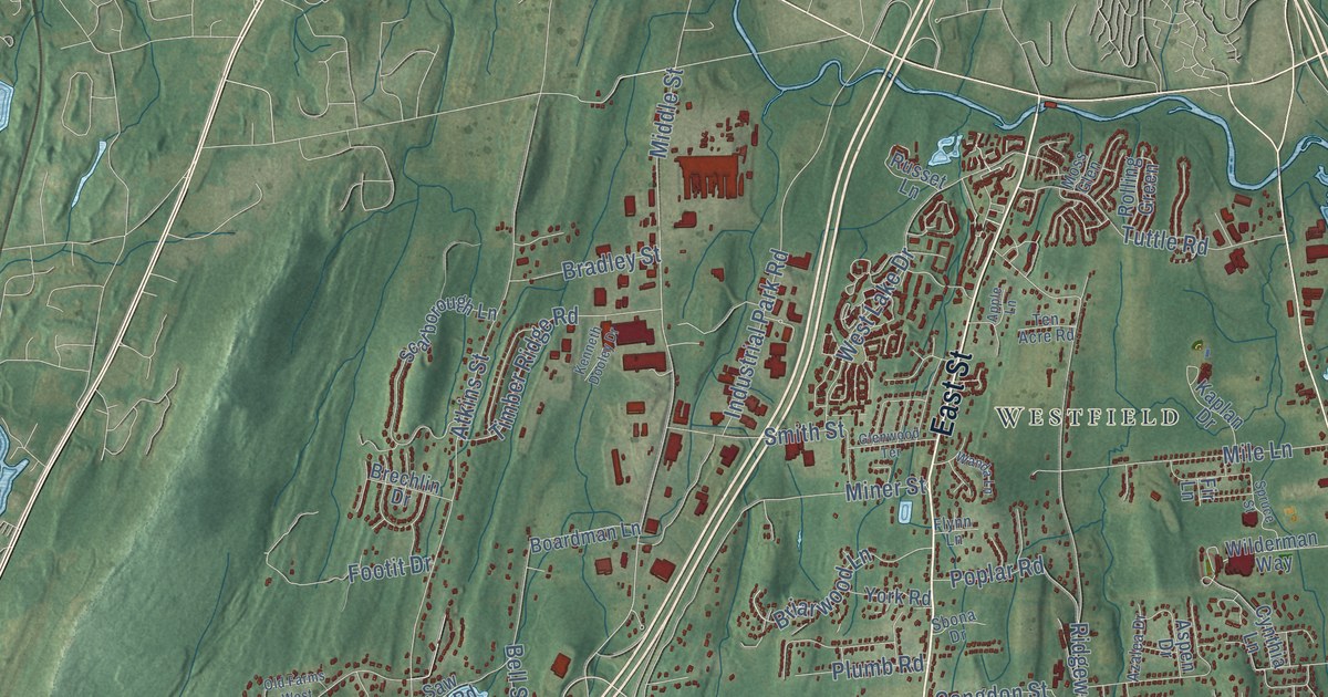
This beautifully detailed map of Middletown, Connecticut was created in 2026 using aerial imagery combined with modern topographical, census, street and landmark data. It’s a one-of-a-kind view of Middletown that combines accurate data with a vintage aesthetic. The map shows every building in its true location, many of the roads carry their names, and the shaded topographic relief shows the shape of the land.
See it on a wall
The Middletown map as an 18 x 24 inch print in a black frame.

Explore an aerial view of Middletown, Connecticut
On the map you’ll find Higby Mountain, Maromas, Chestnut Mountain, Westfield, Downtown, South Farms, Miramichi, Long Hill, Newfield Heights, Highland, and Lakeridge Heights, along with South Main Street, and more. If you look closely you can even find your house accurately drawn in its correct location. Zoom in on the preview to look for yours. Click here to learn more about the history of Middletown.
Take a closer look at the Middletown map
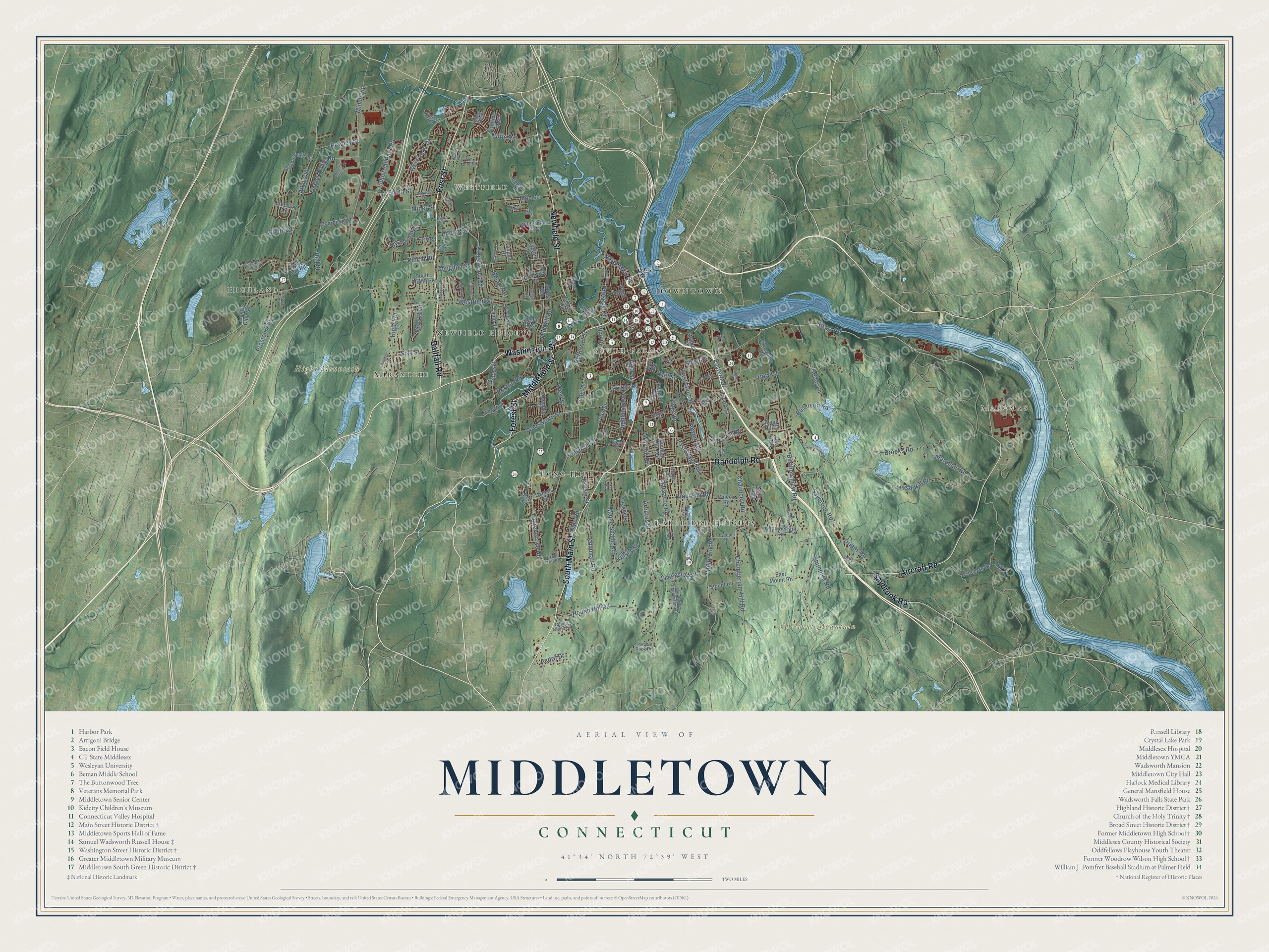
Click to explore a larger preview. The digital watermark does not appear on printed maps.
Names on this map
These names are printed on this map.
Places: Higby Mountain, Maromas, Chestnut Mountain, Westfield, Downtown, South Farms, Miramichi, Long Hill, Newfield Heights, Highland and Lakeridge Heights.
Streets and roads: South Main Street, Randolph Road, Forest Street, Ballfall Road, Middlefield Street, Newfield Street, Aircraft Road, East Street, Washington Street, Saybrook Road, River Road, West Street.
More street names, A to Z
Acer Drive, Acorn Drive, Apple Lane, Arbutus Street, Aspen Drive, Atkins Street, Azalea Drive, Bailey Road, Bartholomew Road, Bear Hill Road, Bell Street, Berlin Street, Blue Road, Boardman Lane, Boston Road, Bow Lane, Bradley Street, Brechlin Drive, Bretton Road, Briarwood Lane, Brooks Road, Brookview Lane, Brown Street, Brush Hill Road, Burr Avenue, Butternut Street, Camp Street, Carmela Drive, Cedar Lane, Chamberlain Hill Road, Chamberlain Road, Chauncey Road, Coe Avenue, Coleman Road, Congdon Street, Cooley Avenue, Country Club Road, Cranberry Lane, Crystal Lake Road, Cynthia Lane, Daniels Street, David Drive, Dripps Road, Durwin Street, Eastern Drive, East Main Street, East Mount Road, East Ridge Road, Farm Hill Road, Fir Lane, Fisher Road, Flynn Lane, Footit Drive, Fowler Avenue, Freeman Road, Frisbie Street, Front Street, George Street, Glenwood Terrace, Hendley Street, Higby Road, Highland Avenue, High Street, Hillside Avenue, Holmes Drive, Hunting Hill Avenue, Industrial Park Road, Johnson Street, Julia Terrace, Kaplan Drive, Kelsey Street, Kenneth Dooley Drive, Knox Boulevard, Lake Road, Laurel Grove Road, Lawn Avenue, Lee Street, Lisa Lane, Livingston Road, Long Hill Road, Long Lane, Lorelei Circle, Lyceum Road, Main Street, Maple Shade Road, Margarite Road, Margarite Road Extended, Maromas Road, Meadowood Drive, Middle Street, Mile Lane, Military Road, Millbrook Road, Mill Street, Miner Street, Moss Glen, Mount Road, Murray Street, Nejako Drive, North Main Street, Oakcliff Road, Old Farms West, Old Mill Road, Old Route 9, Pashley Lane, Pearl Street, Phedon Parkway, Pine Street, Plumb Road, Poplar Road, Preston Avenue, Prospect Street, Prout Hill Road, Red Road, Reservoir Road, Ridge Road, Ridgewood Road, Rolling Green, Rose Circle, Round Hill Road, Russell Street, Russet Lane, Ryefield Road, Sand Hill Road, Saw Mill Road, Sbona Drive, Scarborough Lane, Schuyler Avenue, Shunpike Road, Silvermine Road, Silver Street, Sisk Street, Smith Street, Sonoma Lane, South Plumb Road, Spruce Street, Talcott Ridge Drive, Ten Acre Road, Thimble Rock Road, Timber Ridge Road, Training Hill Road, Tryon Street, Tuttle Road, Tynan Circle, Vine Street, Wadsworth Street, Walnut Street, Wanda Lane, Westfield Street, Westfield Terrace, West Lake Drive, Wilcox Road, Wilderman Way, Windy Hill Drive, York Road.
This beautifully detailed map of Middletown makes an attractive addition to your office, library, or den, and it can even be used to teach children the geography and history of the area. It also makes a great gift for anyone who grew up in Middletown or moved away. When you’re done exploring, click here to get your copy of the Middletown map.