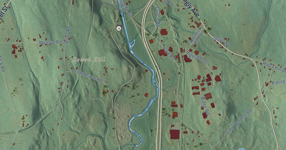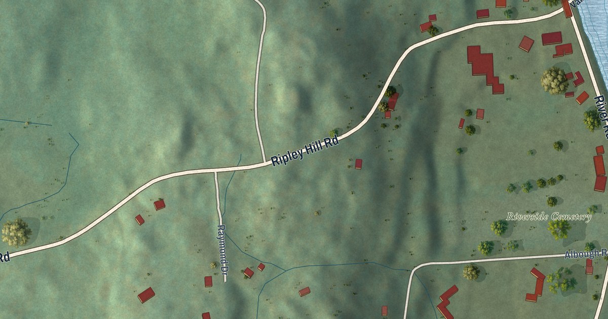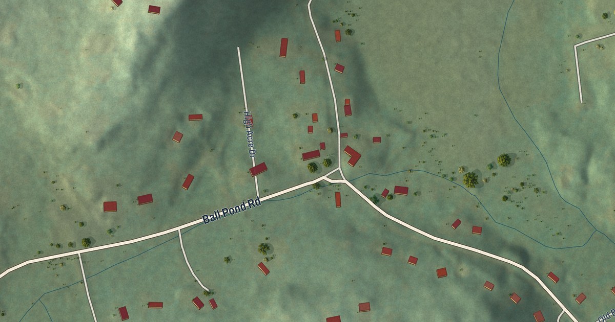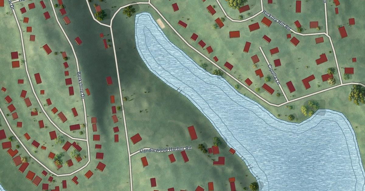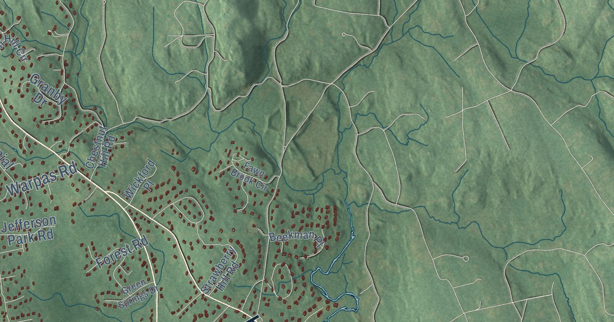
This beautifully detailed map of Madison, Connecticut was created in 2026 using aerial imagery combined with modern topographical, census, street and landmark data. It’s a one-of-a-kind view of Madison that combines accurate data with a vintage aesthetic. The map shows every building in its true location, many of the roads carry their names, and the shaded topographic relief shows the shape of the land.
See it on a wall
The Madison map as an 18 x 24 inch print in a black frame.

Explore an aerial view of Madison, Connecticut
On the map you’ll find Downtown, Seaview Beach, Middle Beach, Rockland, Big Indian, Buell Hill, Bunker Hill, Boulder Lake, Capello Pond, North Madison, and East River, along with Durham Road, and more. If you look closely you can even find your house accurately drawn in its correct location. Zoom in on the preview to look for yours. Click here to learn more about the history of Madison.
Take a closer look at the Madison map
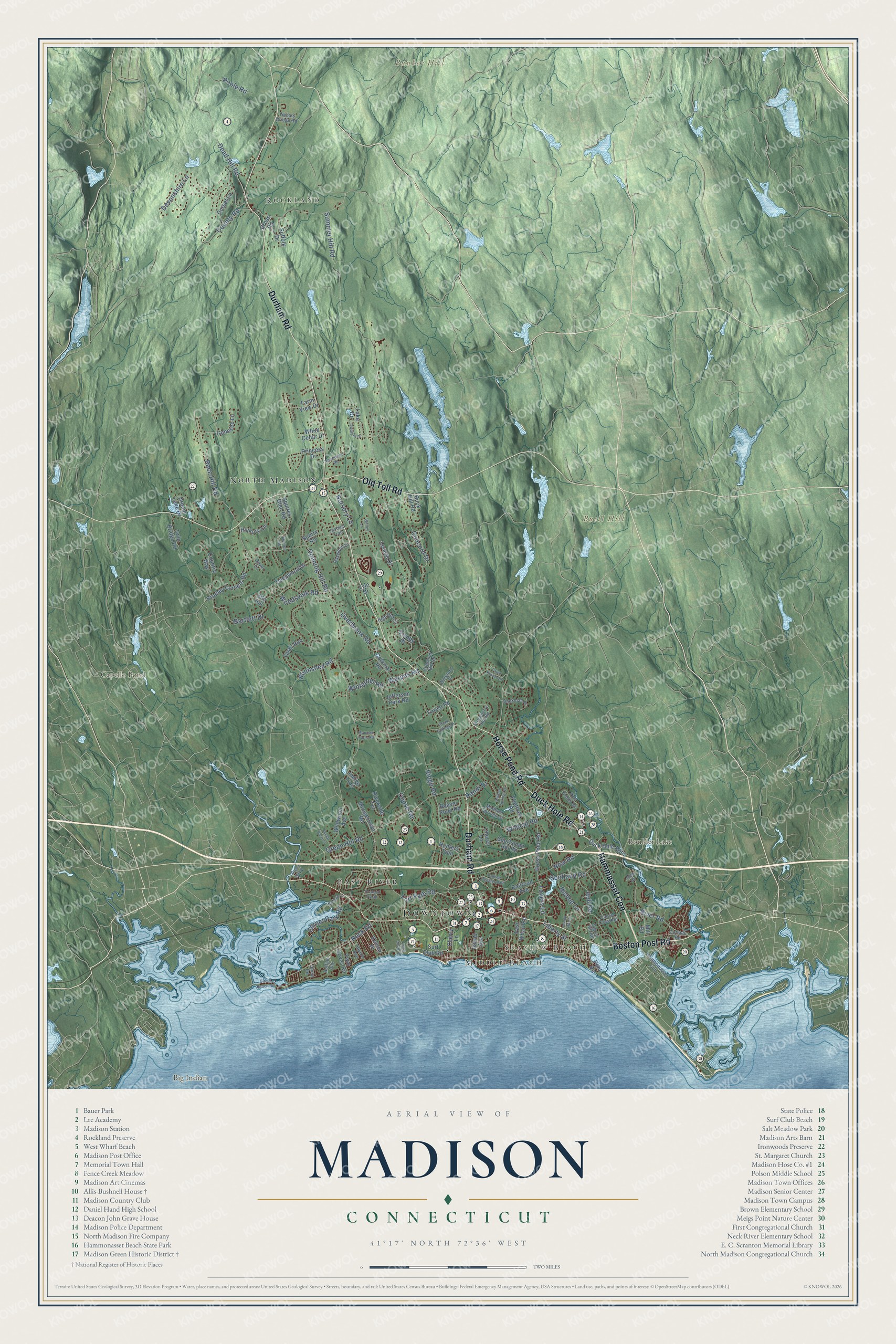
Click to explore a larger preview. The digital watermark does not appear on printed maps.
Names on this map
These names are printed on this map.
Places: Downtown, Seaview Beach, Middle Beach, Rockland, Big Indian, Buell Hill, Bunker Hill, Boulder Lake, Capello Pond, North Madison and East River.
Streets and roads: Durham Road, Duck Hole Road, Boston Post Road, Hammasset Con, Old Toll Road, Horse Pond Road, Liberty Street, County Road, Summer Hill Road, Opening Hill Road, Green Hill Road, Warpas Road.
More street names, A to Z
Alex Drive, Bartlett Drive, Beach Avenue, Beaver Pond Road, Beekman Place, Bishop Lane, Blinnshed Road, Bradley Corners Road, Buck Hill Road, Buffalo Bay, Cherry Lane, Chestnut Hill Road, Church Lane, Circle Beach Road, Colonial Road, Concord Drive, Copse Road, Cottage Road, Country Way, Cross Road, Dead Hill Road, Deepwood Drive, Devonshire Lane, Dorset Lane, Dover Lane, Dream Lake Drive, East Wharf Road, Farm View Drive, Fawn Brook Circle, Five Fields Road, Flintlock Road, Forest Road, Fort Path Road, Garnet Park Road, Genesee Lane, Granby Drive, Green Hill Place, Green Springs Drive, Hammonasset Con, Hickory Lane, High Hill Circle, Hull Road, Hunters Trail, Indigo Trail, Island Avenue, Jefferson Park Road, Joshua Trail, Kelsey Place, Lake Drive, Laurel Crest Road, Lenore Drive, Long Shore Lane, Lovers Lane, Lyle Drive, Madison Springs Drive, Manzoni Farm Road, Mill Road, Mungertown Road, Nathans Lane, Neck Road, New Road, Northwood Road, Nursery Lane, Oakwood Drive, Orchard Pk Road, Overbrook Road, Pent Road, Poole Road, Princess Drive, Quail Run, Race Hill Road, Railroad Avenue, Randi Drive, Ridge Road, River Road, Riverside Terrace, Scotland Road, Sheep Pasture, Signal Hill Road, Silo Hill, Sperry Road, Sportsman Hill Road, Squires Glen Road, Squires Road, Stone Road, Strawberry Hill Road, Suffolk Drive, Sunny Hill Drive, Surf Club Road, Tibbals Bridge Road, Twilight Drive, Twin Bridge Road, Twin Coves Road, White Cedar Drive, Wickford Place, Wildcat Road, Wildcat Springs Drive, Wildwood Avenue, Willow Lane, Winterhill Road, Woodsvale Road, Yankee Peddler Path.
This beautifully detailed map of Madison makes an attractive addition to your office, library, or den, and it can even be used to teach children the geography and history of the area. It also makes a great gift for someone who left Madison and still calls it home. When you’re done exploring, click here to get your copy of the Madison map.