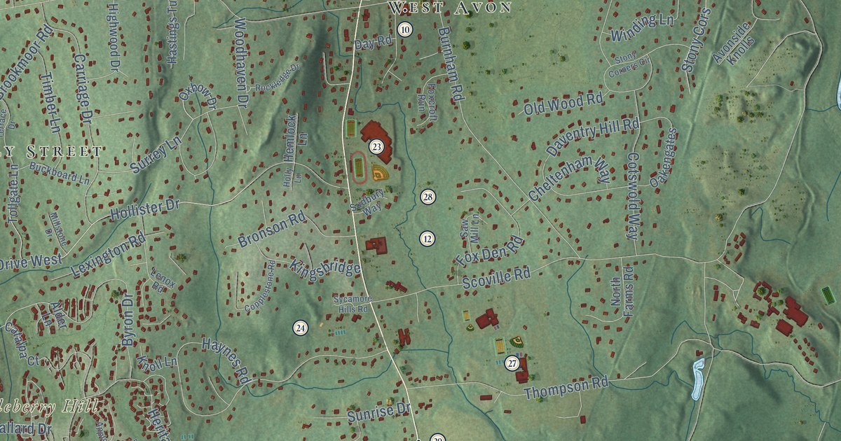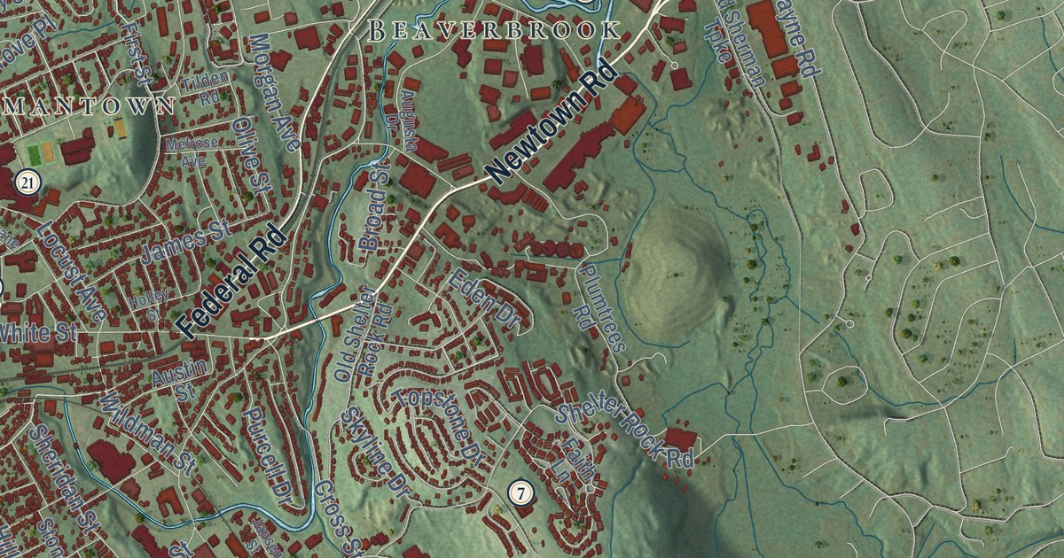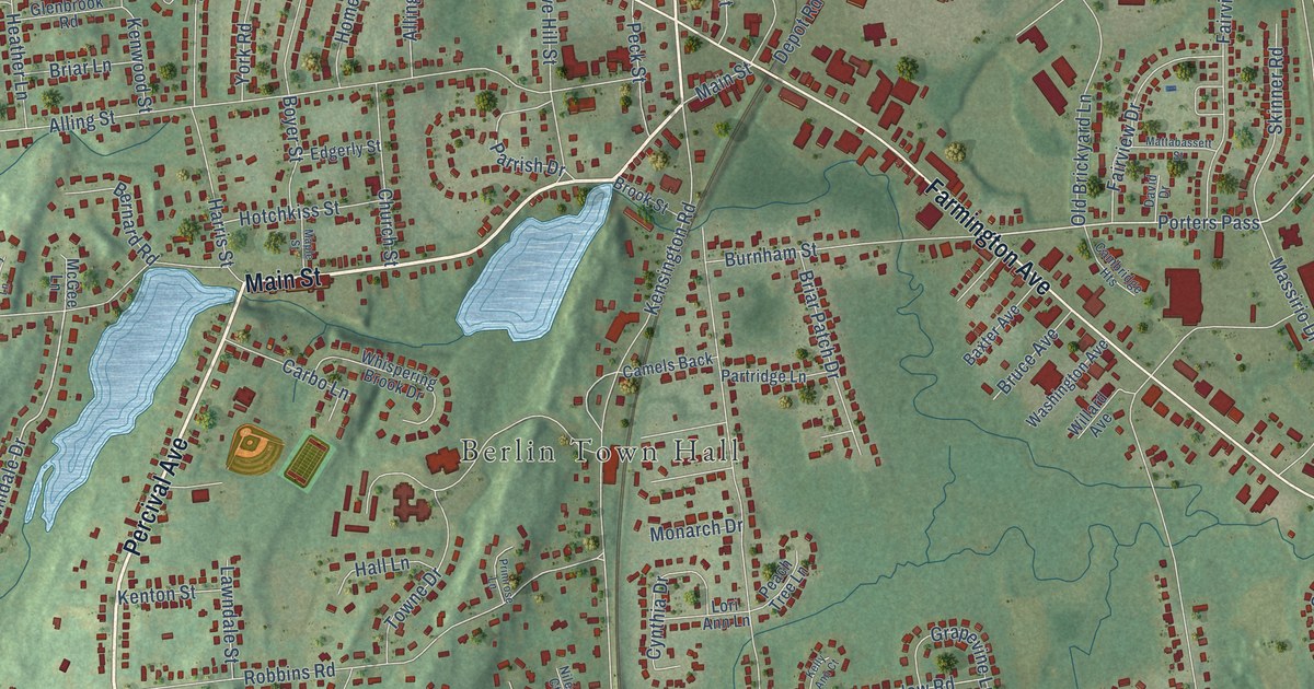
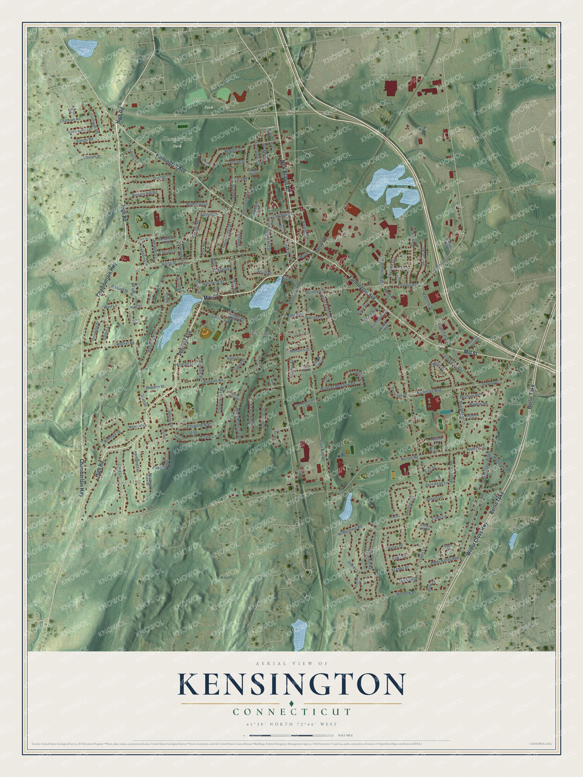
This beautifully detailed map of Kensington, Connecticut was created in 2026 using aerial imagery combined with modern topographical, census, street and landmark data. It's a modern aerial view of Kensington in Capitol Planning Region, Connecticut, that combines modern data with a vintage aesthetic. The roads feature printed names, and if you look closely you can find your exact house accurately shown in its correct location.
Explore an aerial view of Kensington, Connecticut
On this map you'll find Berlin Town Hall, Berlin, Turkey Hill, Hungerford Park, Willow Brook Park, High Road, Percival Avenue, Main Street, New Britain Road, Farmington Avenue, Chamberlain Highway, Berlin Turnpike, and more. Each red shape is a building, so zoom in on the preview and look for yours.
Kensington is a community in Capitol Planning Region. The Census Bureau counted 9,962 people here in 2020. The map prints the town name in its title panel, with the coordinates below it.
Take a closer look at the Kensington map
Names on this map
These names are printed on this map.
Places: Berlin Town Hall, Berlin, Turkey Hill, Hungerford Park and Willow Brook Park.
Streets and roads: High Road, Percival Avenue, Main Street, New Britain Road, Farmington Avenue, Chamberlain Highway, Berlin Turnpike, Wilbur Cross Highway, Mill Street, Christian Lane, Robindale Drive, Porters Pass.
More street names, A to Z
Alling Court, Alling Street, Atwood Street, Baxter Avenue, Becker Avenue, Beechwood Lane, Berldale Avenue, Bernard Road, Boyer Street, Brandegee Lane, Briar Lane, Briar Patch Drive, Brook Street, Bruce Avenue, Burnham Street, Butternut Lane, Cambridge Heights, Camels Back, Carbo Lane, Carriage Drive, Casner Drive, Cedarwood Road, Chatham Road, Church Street, Cindy Lane, Cole Lane, Copper Beach Court, Cornwall Road, Crater Lane, Cynthia Drive, David Drive, Dayl Drive, Deerfield Drive, Depot Road, Dunham Drive, Earl Street, Eastbrook Terrace, Edgerly Street, Ellsworth Boulevard, Ellwood Road, Fairview Drive, Fairview Place, Fawn Drive, Fernstead Lane, Four Rod Road, Galpin Lane, Garden Drive, Gladding Place, Glenbrook Road, Glendale Avenue, Glen Street, Grandview Avenue, Grapevine Lane, Griswold Drive, Grove Hill Street, Hall Lane, Harding Street, Harris Street, Hartland Terrace, Hart Street, Heather Lane, Hickory Hill Road, Hillcrest Avenue, Holly Court, Homecrest Drive, Hotchkiss Street, Huckleberry Lane, Hudson Street, Jeffrey Lane, Kelly Ann Court, Kensington Road, Kenton Street, Kenwood Street, Kramer Drive, Langdon Court, Lavery Lane, Lawndale Street, Lee Drive, Lincoln Street, Lori Ann Lane, Lower Lane, Madison Drive, Maple Street, Massirio Drive, Mattabassett Street, McGee Lane, Meadow Lane, Middletown Road, Misty Mountain Road, Monarch Drive, Mountain View Drive, Murla Road, Newton Street, Niles Court, Norton Road, Old Brickyard Lane, Overhill Drive, Pajor Hill Road, Parrish Drive, Partridge Lane, Patterson Way, Peach Tree Lane, Peck Street, Peter Parley Row, Pheasant Run, Pondside Drive, Primrose Lane, Ridgewood Lane, Robbins Road, Sage Drive, Sbona Road, School Street, Schultz Road, Seymour Road, Shady Notch Road, Sheldon Street, Simms Road, Skinner Road, Smoky Hill Road, Spring Street, Sterling Drive, Streamside Lane, Sunset Lane, Surrey Lane, Terry Road, Timberwood Road, Tower Avenue, Towne Drive, Town Farm Lane, Treasure Avenue, Tree Hill Road, Una Road, Upson Avenue, Valley Drive, Warner Road, Washington Avenue, Webster Square Road, West Lane, Westview Terrace, Whispering Brook Drive, Wildem Road, Wildermere Road, Willard Avenue, Williams Street, Winchell Drive, Winding Meadow Road, Windsor Road, Woodbine Court, Woodruff Lane, Worthington Ridge, York Road.
See it on a wall
The Kensington map as a framed print. Swipe for more.


Created by KNOWOL in 2026. The buildings are small red shapes, the roads carry their printed names, and shaded relief shows the shape of the land. The title panel reads "AERIAL VIEW OF KENSINGTON, CONNECTICUT" with 41°38' NORTH 72°46' WEST.
It suits a den, a classroom or a front hall, and it makes a gift for anyone with Kensington roots. Open the preview and find the block you know. See sizes and frames for the Kensington map.