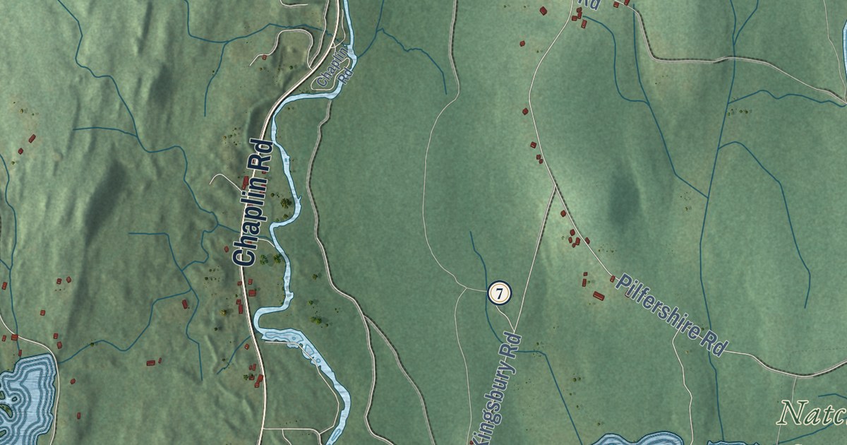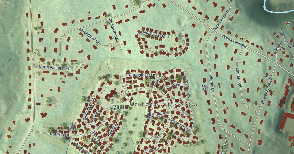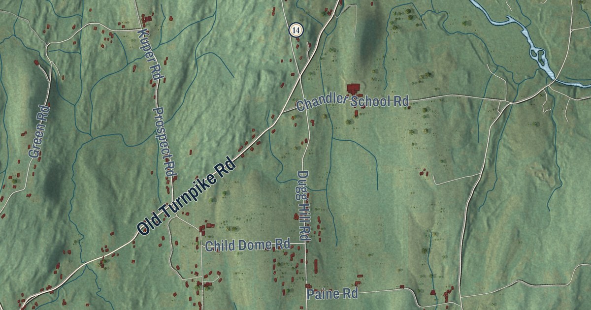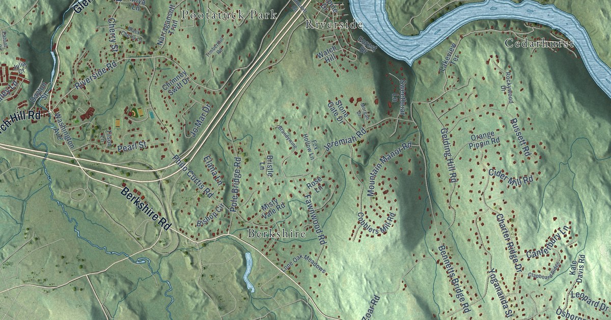
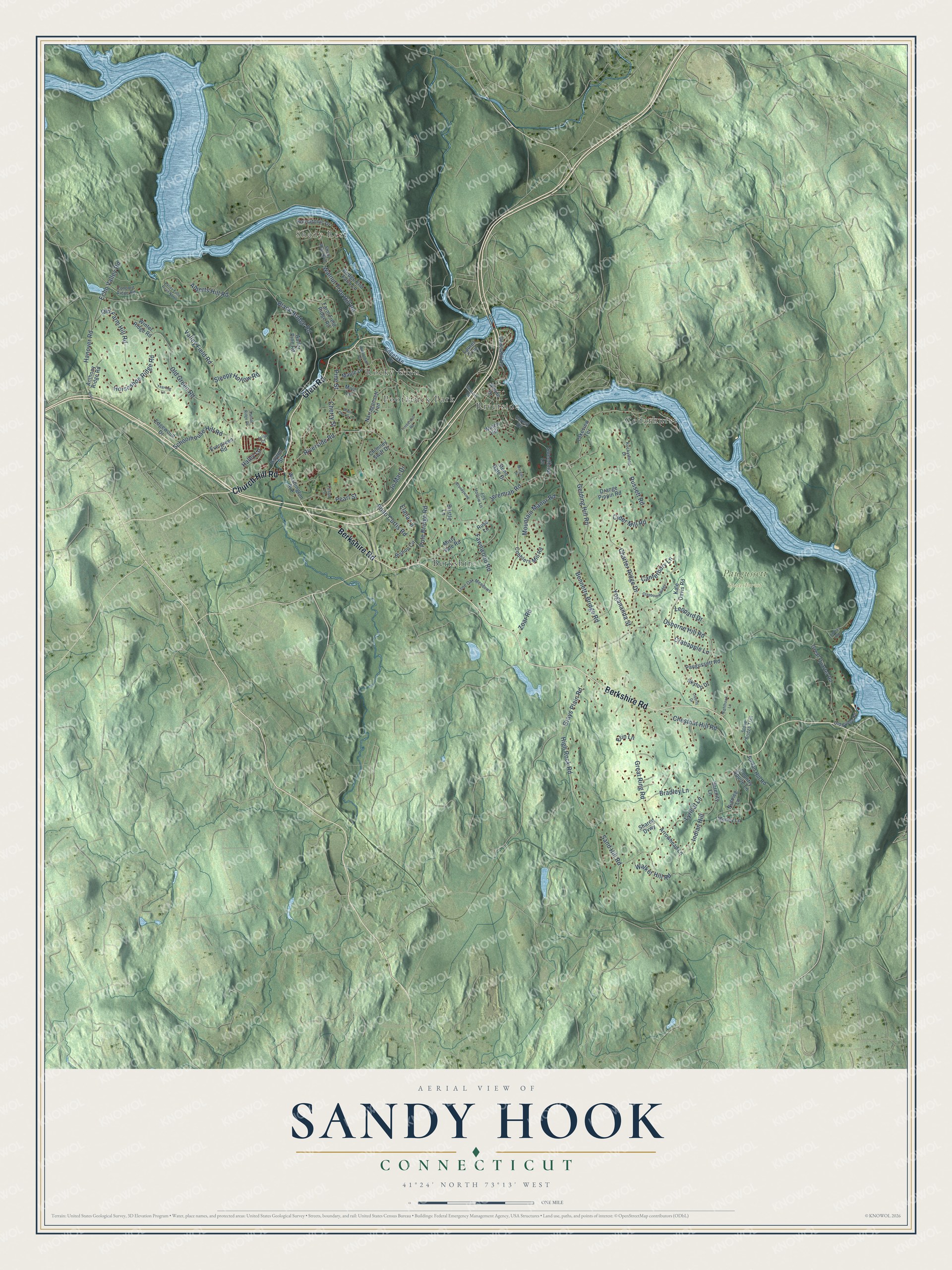
This beautifully detailed map of Sandy Hook, Connecticut was created in 2026 using aerial imagery combined with modern topographical, census, street and landmark data. It's a modern aerial view of Sandy Hook in Western Connecticut Planning Region, Connecticut, that combines modern data with a vintage aesthetic. The roads feature printed names, and if you look closely you can find your exact house accurately shown in its correct location.
Explore an aerial view of Sandy Hook, Connecticut
On this map you'll find Shady Rest, Paugussett State Forest, Berkshire, Riverside, Cedarhurst, Rocky Glen, Pootatuck Park, Glen Road, Berkshire Road, Church Hill Road, Riverside Road, Walnut Tree Hill Road, and more. Each red shape is a building, so zoom in on the preview and look for yours.
Sandy Hook is a community in Western Connecticut Planning Region. The Census Bureau counted 9,114 people here in 2020. Sandy Hook sits about 4 miles east of Newtown, 4 miles north of Botsford and 4 miles northwest of East Village. The map prints the town name in its title panel, with the coordinates below it.
Take a closer look at the Sandy Hook map
Names on this map
These names are printed on this map.
Places: Shady Rest, Paugussett State Forest, Berkshire, Riverside, Cedarhurst, Rocky Glen and Pootatuck Park.
Streets and roads: Glen Road, Berkshire Road, Church Hill Road, Riverside Road, Walnut Tree Hill Road, Great Ring Road, Bennetts Bridge Road, High Rock Road, Pole Bridge Road, Alberts Hill Road, Jeremiah Road, Osborne Hill Road.
More street names, A to Z
Alpine Drive, Andras Road, Anthony Ridge Road, Antler Pine Road, Arrowhead Lane, Bancroft Road, Bishop Circle, Black Bridge Road, Black Cherry Lane, Boulevard, Bradley Lane, Brandywine, Bridge End Farm Lane, Bristle Lane, Buttonball Drive, Canterbury Lane, Charter Ridge Drive, Cherry Street, Chestnut Hill Road, Chimney Swift Drive, Cider Mill Road, Clapboard Ridge, Cobblers Mill Road, Concord Ridge Road, Country Squire Lane, Crabapple Lane, Dayton Street, Echo Valley Road, Edgelake Drive, Edgewood Drive, Elana Lane, Erin Lane, Evergreen Road, Farm Field Ridge Road, Fawnwood Road, Forest Drive, Fox Hollow Lane, Gelding Hill Road, Grays Plain Road, Great Quarter Road, Haley Lane, Hanover Road, Honey Lane, Horseshoe Ridge Road, Housatonic Drive, Indian Hill, Jo Mar Drive, Jordan Hill Road, Julia Court, Kale Davis Road, Lakeview Terrace, Laurel Trail, Leopard Drive, Liberty Drive, Lone Oak Meadows, Lyrical Lane, Maple Drive, Misty Vale Road, Miya Lane, Morgan Drive, Mountain Manor Road, Narragansett Trail, Nighthawk Lane, Nutmeg Lane, Old Bridge Road, Old Farm Hill Road, Old Green Road, Orange Pippin Road, Patriot Ridge Road, Paugussett Road, Pearl Street, Philo Curtis Road, Pine Street, Rockywood Drive, Rose Lane, Russett Road, Sand Hill Road, Schoolhouse Hill Road, Serenity Lane, Shady Rest Boulevard, Shared Dvwy, Skytop Drive, Sleepy Hollow Road, Stone Bridge Trail, Stone Gate Drive, Sweetbriar Lane, Tilson Lane, Timbermill Road, Underhill Road, Valley Field Road, Valley Field Road North, Walker Hill Road, Washington Avenue, Watch Hill, Winter Ridge Road, Yearling Lane, Yogananda Street, Zoar Road.
See it on a wall
The Sandy Hook map as a framed print. Swipe for more.


Created by KNOWOL in 2026. The buildings are small red shapes, the roads carry their printed names, and shaded relief shows the shape of the land. The title panel reads "AERIAL VIEW OF SANDY HOOK, CONNECTICUT" with 41°24' NORTH 73°13' WEST.
It looks right in a kitchen, an office or a den, and it's a gift for anyone who grew up in Sandy Hook or moved away. Open the preview and find your street. See sizes and frames for the Sandy Hook map.