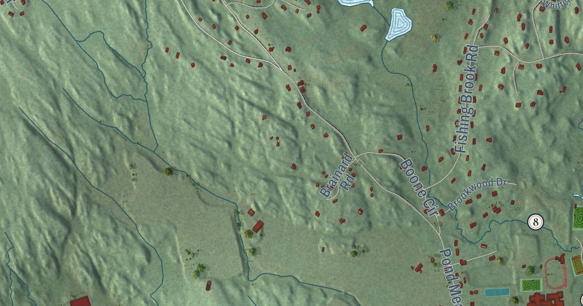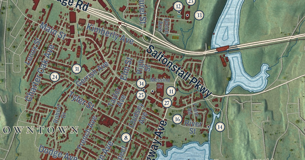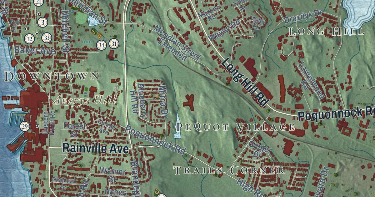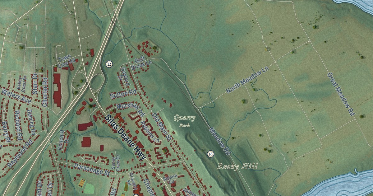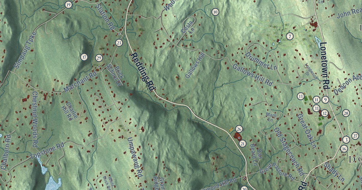
This beautifully detailed map of Redding, Connecticut was created in 2026 using aerial imagery combined with modern topographical, census, street and landmark data. It’s a one-of-a-kind view of Redding that combines accurate data with a vintage aesthetic. The map shows every building in its true location, many of the roads carry their names, and the shaded topographic relief shows the shape of the land.
See it on a wall
The Redding map as an 18 x 24 inch print in a black frame.

Explore an aerial view of Redding, Connecticut
On the map you’ll find Downtown, Bogus Mountain, Branchville Hill, Cains Hill, Cedar Mountain, Big Lake, Bushy Hill Pond, Boston, Redding Ridge, West Redding, Lonetown, Topstone, and more. If you look closely you can even find your house accurately drawn in its correct location. Zoom in on the preview to look for yours. Click here to learn more about the history of Redding.
Take a closer look at the Redding map
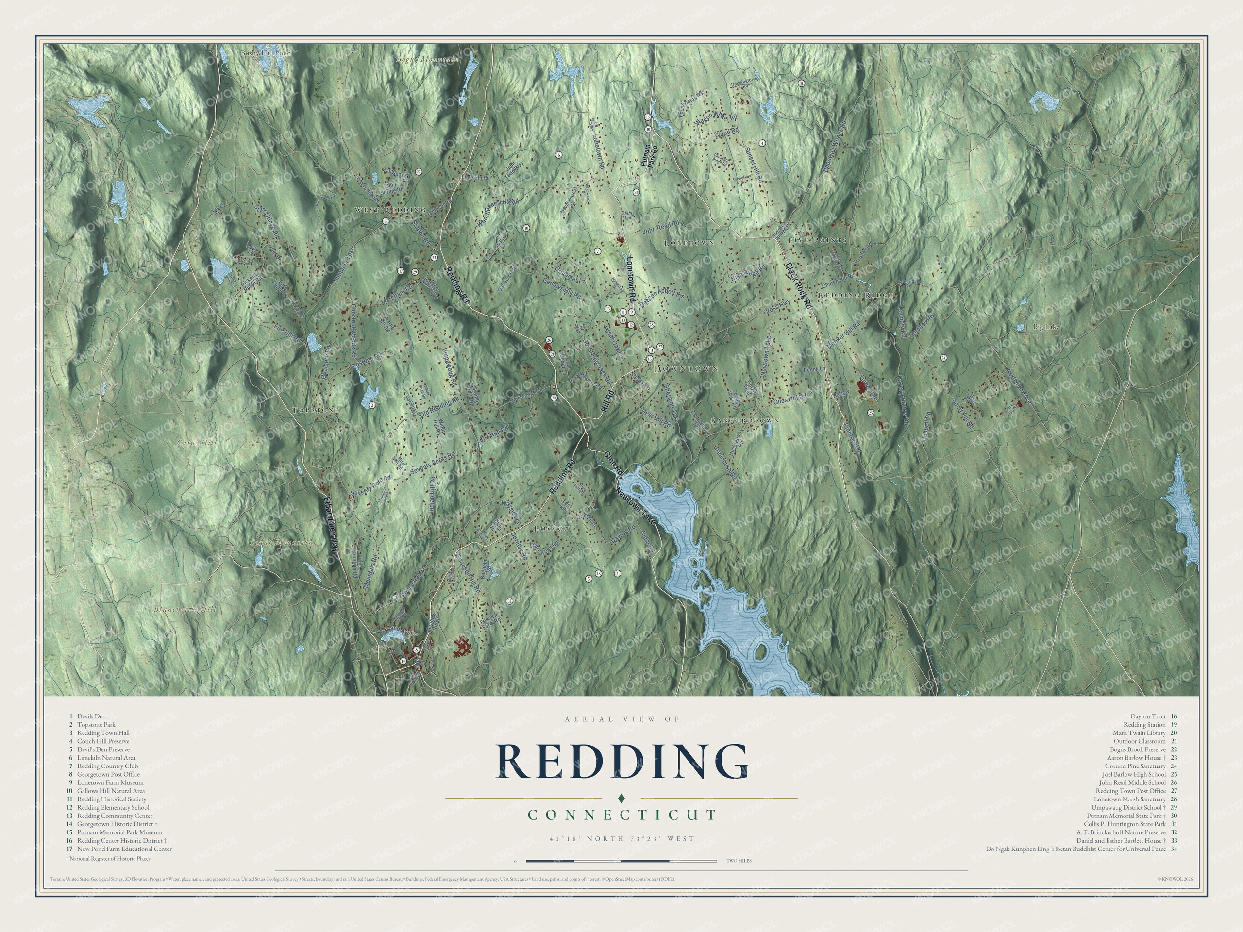
Click to explore a larger preview. The digital watermark does not appear on printed maps.
Names on this map
These names are printed on this map.
Places: Downtown, Bogus Mountain, Branchville Hill, Cains Hill, Cedar Mountain, Big Lake, Bushy Hill Pond, Boston, Redding Ridge, West Redding, Lonetown, Topstone, Sanfordtown and Five Points.
Streets and roads: Black Rock Road, Redding Road, Ethan Allen Highway, Newtown Turnpike, Lonetown Road, Hill Road, Glen Road, Portland Avenue, Seventy Acres Road, Hopewell Woods Road, Giles Hill Road, Meeker Hill Road.
More street names, A to Z
Apple Lane, Barlow Drive, Barretts Lane, Beech Lane, Beeholm Road, Blueberry Hill Road, Brick School Drive, Chalburn Road, Charlie Hill Road, Chestnut Woods Road, Church Hill Road, Costa Lane, Cross Highway, Dahlia Lane, Dan Beard Lane, Dayton Road, Deacon Abbott Road, Deer Hill Road, Deer Lane, Deer Spring Road, Diamond Hill Road, Dittmar Road, Dodgingtown Road, Dorethy Road, Drummer Lane, Farm Ridge Court, Farview Farm Road, Fire Hill Road, Foundry Road, Fox Run Road, Gallows Hill, Gallows Hill Road, George Hull Hill Road, Glen Hill Road, Goodridge Road, Goodsell Hill Road, Granite Ridge Road, Great Meadow Road, Great Oak Lane, Great Pasture Road, Great Pond Lane, Greenbush Road, High Ridge Road, Hopewell Wood Road, Hubbell Road, Huckleberry Road, Indian Hill Road, John Read Road, John Todd Way, Lamppost Drive, Laurel Lane, Ledgewood Road, Lee Lane, Limekiln Road, Little Boston Lane, Long Ridge Road, Long Wall Road, Longwood Drive, Main Street, Marchant Road, Marli Lane, Meadow Ridge, Mine Hill Road, Mountain Laurel Lane, Mountain Road, Mountainview Drive, North Main Street, North Park Avenue, Old Hattertown Road, Old Mill Road, Old Redding Road, Old Stagecoach Road, Olmstead Road, Orchard Drive, Peaceable Street, Pheasant Ridge Road, Picketts Ridge Road, Pine Avenue, Pine Mountain Road, Pinetree Road, Pocahontas Road, Portland Hill Road, Poverty Hollow Road, Putnam Park Road, Ridgewood Drive, Rock House Road, Rockledge Road, Sanfordtown Road, Seventy Acre Road, Shady Lane, Sherman Turnpike, Sidecut Road, Simpaug Turnpike, Sport Hill Road, Spur Road, Starrs Ridge Road, Station Road, Stepney Road, Sunnyview Drive, Sunset Hill Road, Topstone Road, Tudor Road, Tunxis Trail, Turney Road, Umpawaug Road, Wagon Wheel Road, Wayside Lane, Werf Drive, White Birch Road, Whortleberry Hill Road, Windy Hill Road, Wood Road, Woods Way.
This beautifully detailed map of Redding makes an attractive addition to your office, library, or den, and it can even be used to teach children the geography and history of the area. It also makes a great gift for anyone with Redding roots. When you’re done exploring, click here to get your copy of the Redding map.