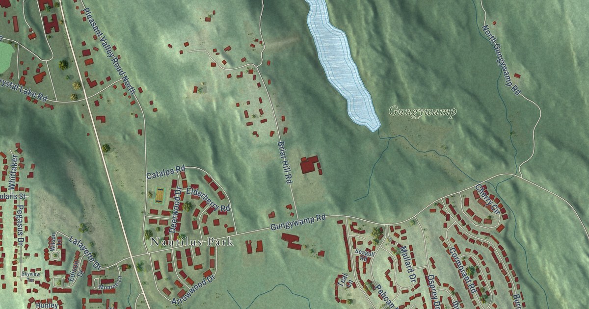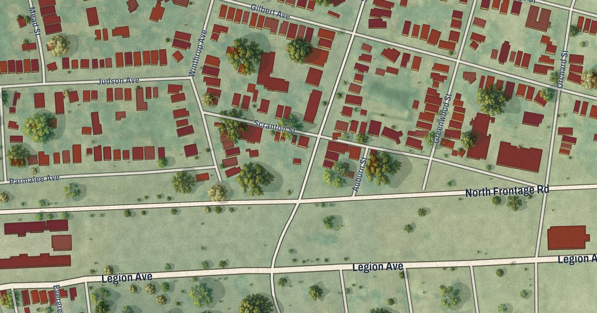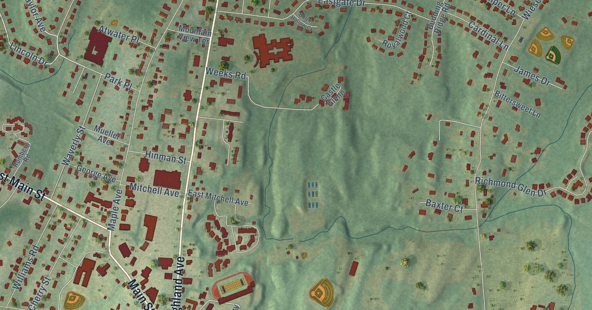
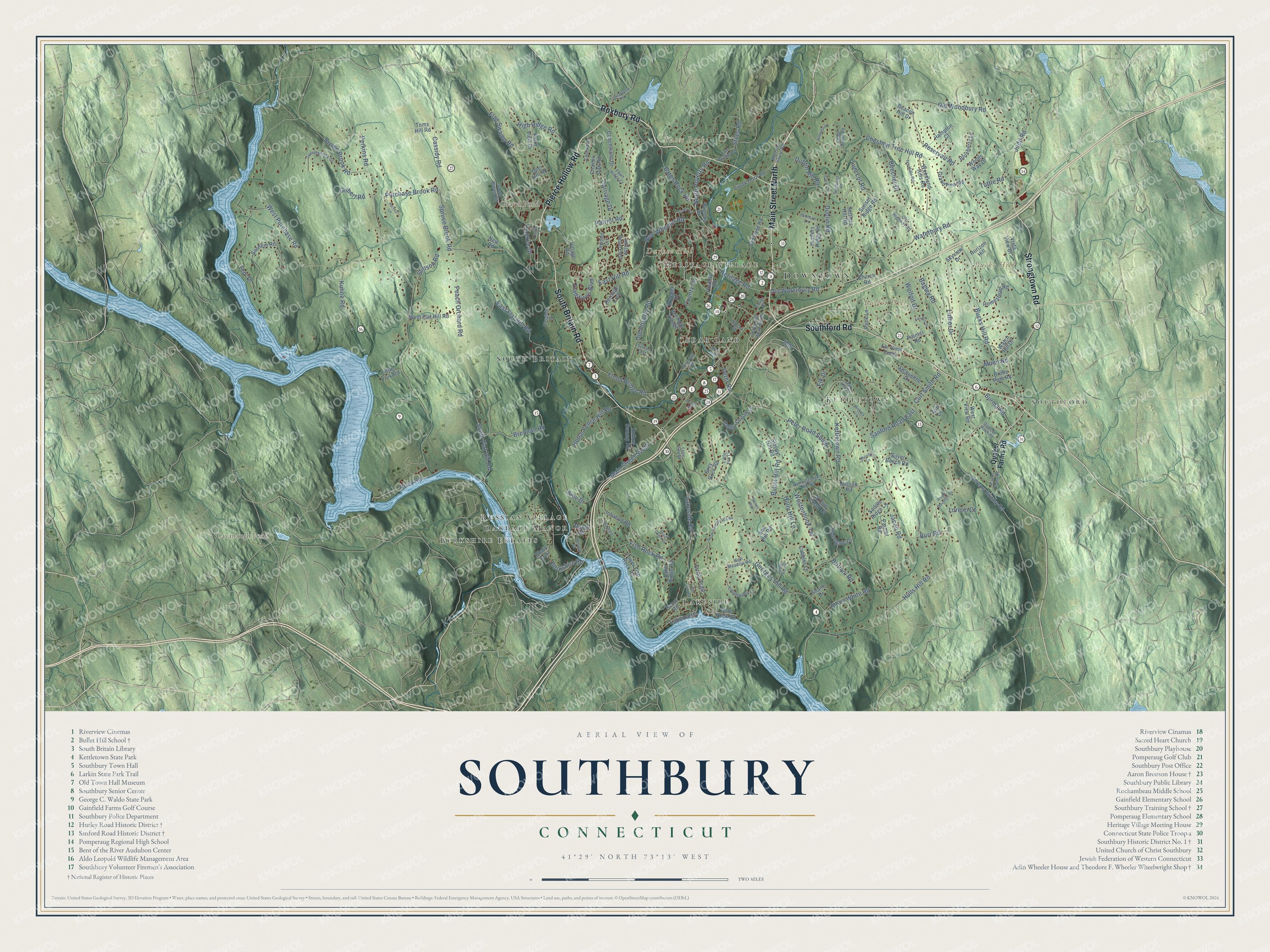
This beautifully detailed map of Southbury, Connecticut was created in 2026 using aerial imagery combined with modern topographical, census, street and landmark data. It’s a one-of-a-kind view of Southbury that combines accurate data with a vintage aesthetic. The map shows every building in its true location, many of the roads carry their names, and the shaded topographic relief shows the shape of the land.
See it on a wall
The Southbury map as an 18 x 24 inch print in a black frame.

Explore an aerial view of Southbury, Connecticut
On the map you’ll find Downtown, Southford, Bates Rocks, Bucks Hill, Bullet Hill, Durkee Hill, Cavanaugh Pond, Gravel Pond, Platt Park, Lakeside, Berkshire Estates, Kettletown, and more. If you look closely you can even find your house accurately drawn in its correct location. Zoom in on the preview to look for yours. Click here to learn more about the history of Southbury.
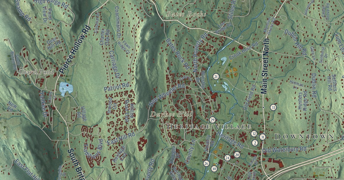
Take a closer look at the Southbury map
Click to explore a larger preview. The digital watermark does not appear on printed maps.
Names on this map
These names are printed on this map.
Places: Downtown, Southford, Bates Rocks, Bucks Hill, Bullet Hill, Durkee Hill, Cavanaugh Pond, Gravel Pond, Platt Park, Lakeside, Berkshire Estates, Kettletown, Cedar Land, Russian Village, South Britain, Heritage Village and Oakdale Manor.
Streets and roads: Roxbury Road, Main Street North, South Britain Road, Pierce Hollow Road, Southford Road, Strongtown Road, North Poverty Road, Main Street South, Lakeside Road, Cassidy Road, Lakemere, Ibm.
More street names, A to Z
Amos White Road, Ash Lane, Bagley Road, Bates Rock Road, Beacon Hill Drive, Beecher Drive, Berkshire Road, Blueberry Lane, Brennan Road, Bridle Path Road, Britiani Road, Brown Brook Road, Brown Road, Bucks Hill Road, Bullet Hill Road, Bullet Hill Road North, Burma Road, Burr Road, Carriage Drive, Cedar Circle, Cedar Grove Road, Chain Trail, Charter Oak Road, Chestnut Tree Hill Road, Church Road, Coachmans Drive, Cobbler Lane, Colonial Drive, Cooper Hill Road, Coughlin Drive, County Lane, Crook Horn Road, Curt Smith Road, Deer Hill Road, Diamond Match Road, Dublin Hill Road, Dublin Road, Eagle View Road, East Flat Hill Road, East Hill Road, Elk Drive, Far View Cmns, Fawn Ridge Court, Fish Rock Road, Flag Swamp Road, Flood Bridge Road, Fox Run Drive, Garage Road, Georges Hill Road, Gilbert Road, Glen Lane, Grandview Road, Grey Rock Road, Hampton Court, Harvest Lane, Heritage Crst, Heritage Road, Hickory Lane, High Meadow Road, High Ridge Road, Hillcrest Drive, Hillside Road, Hilltop Road East, Hinman Lane, Hollow Swamp Road, Holly Hill Lane, Homestead Road, Horizon Hill, Horse Fence Hill Road, Hulls Hill Road, Hunters Ridge Road, Ichabod Road, Inwood Circle, Ivy Hills Road, Jacob Road, Jacqueline Drive, Jeremy Swamp Road, Judd Road, Kettletown Road, Kiev Drive, Krueger Drive, Kuhne Road, Lake Ridge Road, Laurelwood Lane, Lee Farm Drive, Liberty Lane, Little Fox Lane, Little York Road, Lorelei Court, Low Bridge Road, Lower Fish Rock Road, Lum Lot Road, Luna Trail, Luther Drive, Manor Road, Mansion House Road, Munn Road, Murphy Lane, Nelson Road, New Road, New Wheeler Road, Nod Hill Road, North Georges Hill Road, Oak Hill Drive, Old Field Road, Old Highway Road, Old Poverty Road, Old Waterbury Road, Old Woodbury Road, Painter Road, Palmer Road, Patriot Road, Peach Orchard Road, Peck Lane, Perkins Road, Peter Road, Peter Road South, Pine Rock Road, Plaster House Road, Pond View Drive, Poverty Road, Purchase Brook Road, Quaker Farms Road, Reservoir Road, Riverhill Road, River Road, River Trail, Rocky Mountain Road, Royal Coach Lane, Sachem Road, Saddle Ridge Lane, Sanford Road East, Scout Road, Settlers Hill Road, Shane Drive, Silver Beech Road, Skyview Drive, Sleepy Hill Road, South Flat Hill Road, South Georges Hill Road, Spruce Brook Road, Stiles Road, Stillson Road, Stonegate Drive, Stones Way, Sunburst Drive, Sunset Ridge Road, Sylvan Crst, Tepi Drive, Toms Hill Road, Traditions Boulevard, Transylvania Road, Turrill Brook Drive, Tuttle Road, Valley Stream Lane, Village Road, Vista View Drive, Wakeley Drive, Watch Hill Drive, Waterbury Road, Westenhook Terrace, West Flat Hill Road, West Purchase Road, West View Road, Wheeler Drive, Willow Creek Court, Winship Drive, Wolfpit Drive, Woodland Hills Road, Woods Way Drive, Yankee Drive.
This beautifully detailed map of Southbury makes an attractive addition to your office, library, or den, and it can even be used to teach children the geography and history of the area. It also makes a great gift for anyone who grew up in Southbury or moved away. When you’re done exploring, click here to get your copy of the Southbury map.