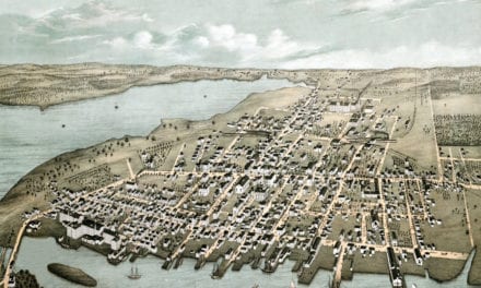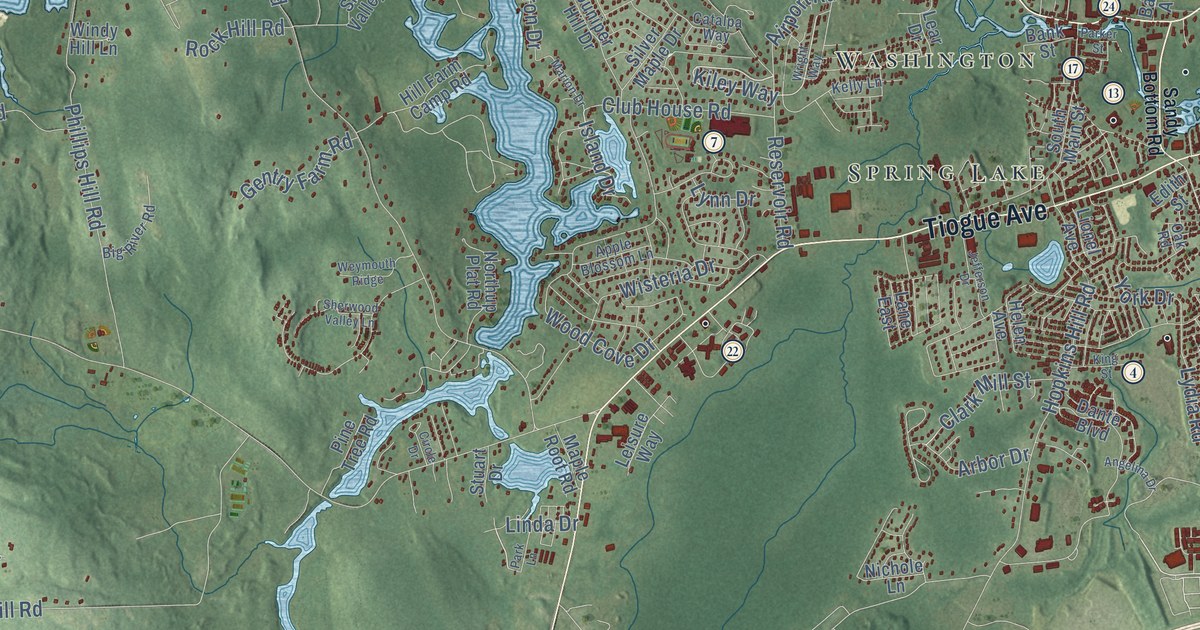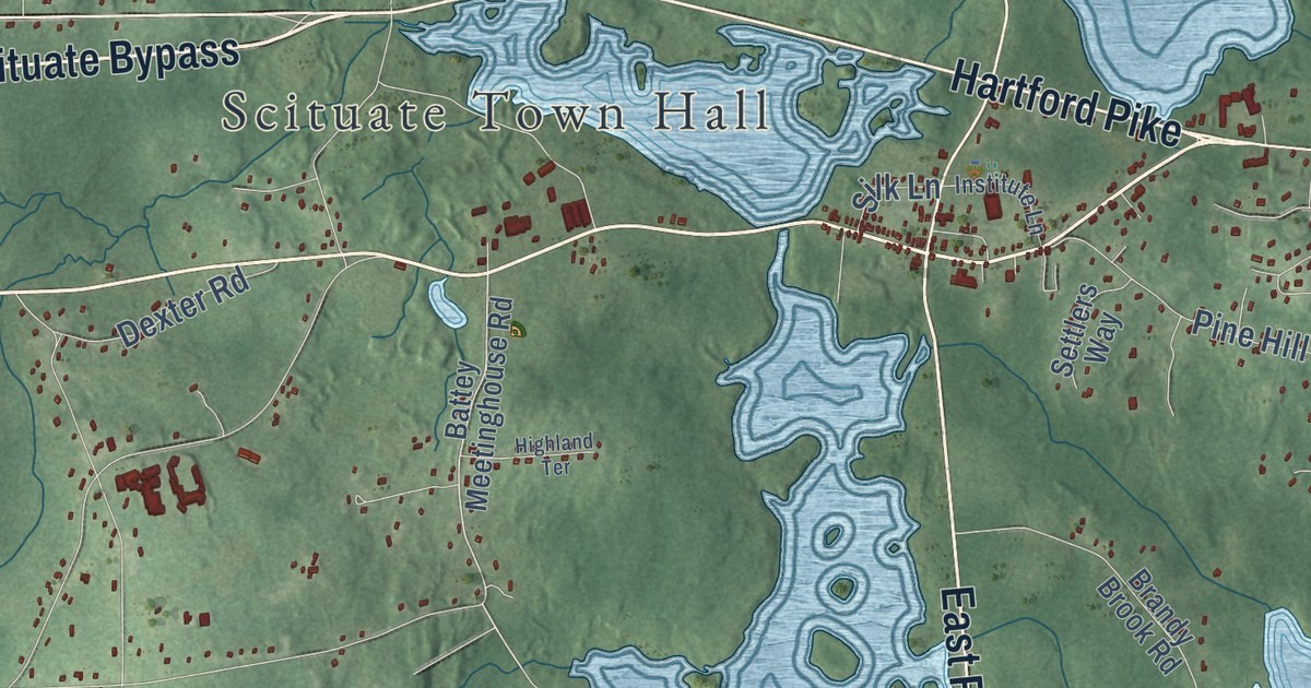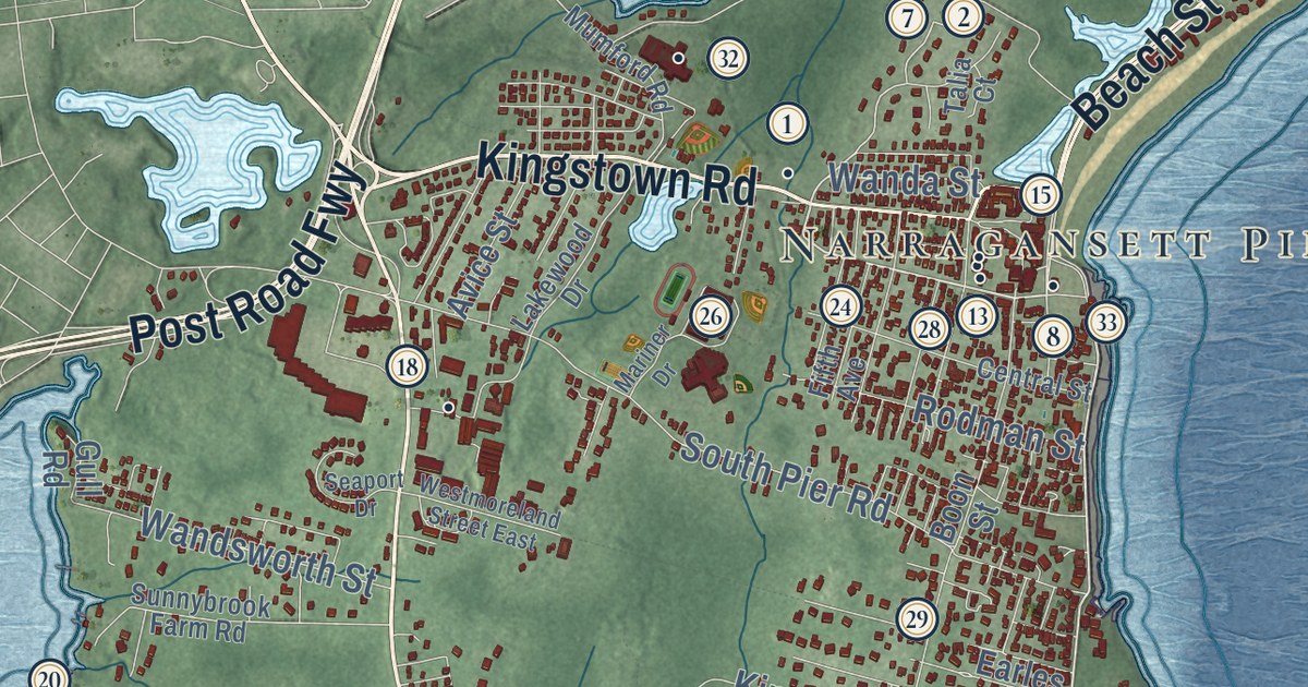
This beautifully detailed map of East Providence, Rhode Island was created in 2026 using aerial imagery combined with modern topographical, census, street and landmark data. It’s a one-of-a-kind view of East Providence that combines accurate data with a vintage aesthetic. The map shows every building in its true location, many of the roads carry their names, and the shaded topographic relief shows the shape of the land.
See the East Providence, Rhode Island map on a wall
The East Providence map as an 18 x 24 inch print in a black frame.

Explore an aerial view of East Providence, Rhode Island
On the map you’ll find Phillipsdale, Rumford, Riverside, Squantum, Luthers Corners, Kent Heights, Kent Corner, Carpenters Corner, East Providence Center, Leonard Corner, Six Corners, Armington Corner, and more. If you look closely you can even find your house accurately drawn in its correct location. Zoom in on the preview to look for yours.
Did you know this piece of East Providence, Rhode Island history?
Bradley Hospital in East Providence opened in 1931. It was the first psychiatric hospital in the nation just for children. Today it trains students from Brown University’s Warren Alpert Medical School.
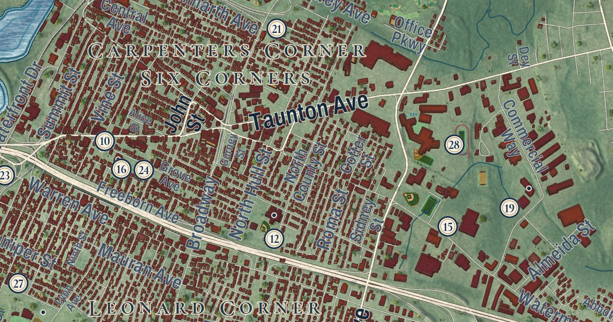
Take a closer look at the East Providence map
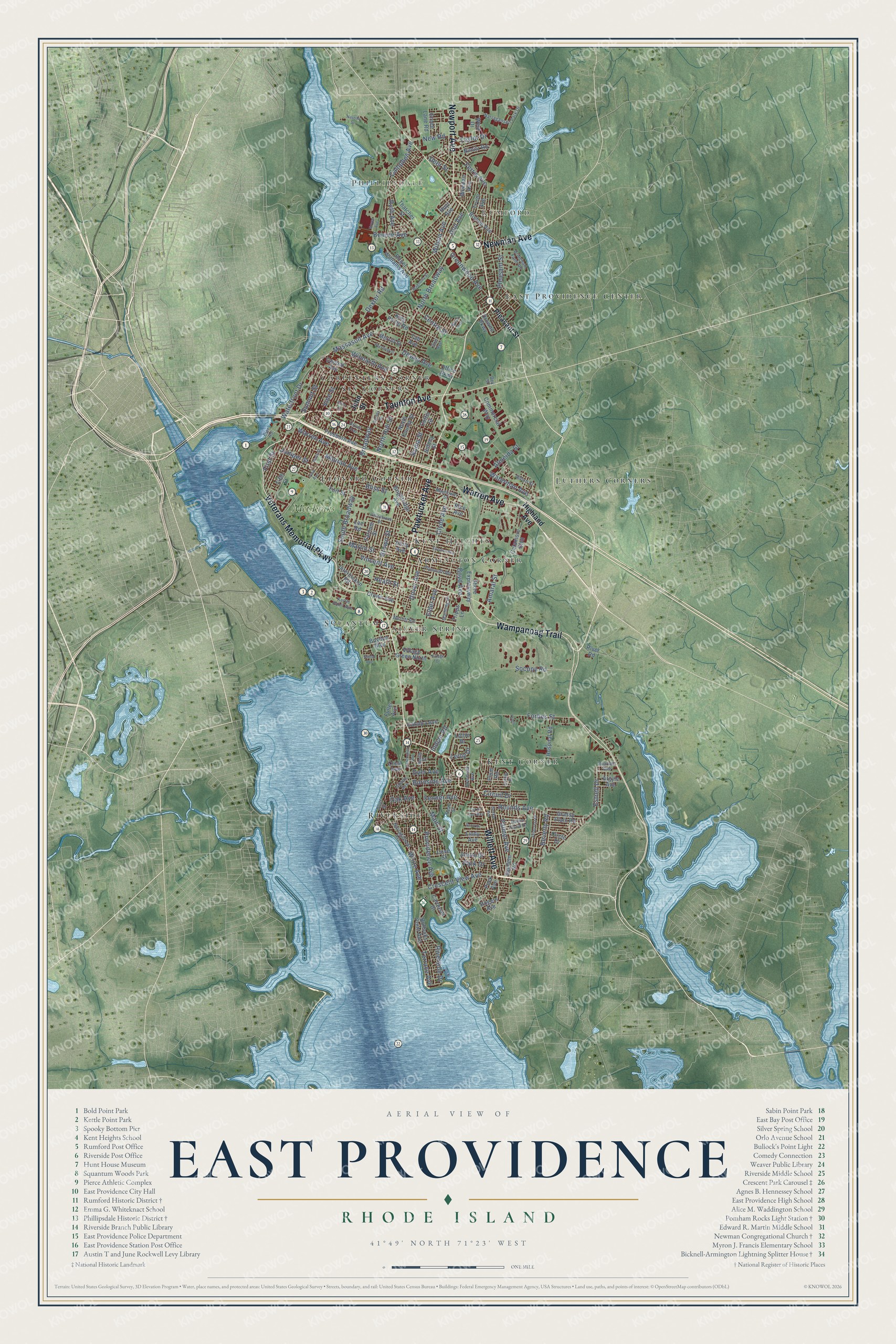
Click to explore a larger preview. The digital watermark does not appear on printed maps.
Street and place names on the East Providence, Rhode Island map
These names are printed on the map of East Providence, Rhode Island.
Places: Phillipsdale, Rumford, Riverside, Squantum, Luthers Corners, Kent Heights, Kent Corner, Carpenters Corner, East Providence Center, Leonard Corner, Six Corners, Armington Corner, Silver Spring and Met Links.
Streets and roads: Pawtucket Avenue, Willett Avenue, Veterans Memorial Parkway, Wampanoag Trail, Warren Avenue, Taunton Avenue, Newman Avenue, Newport Avenue, Waterman Avenue, Massasoit Avenue, Crescent View Avenue, Mauran Avenue.
More street names, A to Z
Abbott Street, Adams Avenue, Alice Street, Allerton Avenue, Almeida Street, Amaral Street, Anson Drive, Argyle Avenue, Astral Avenue, Becker Avenue, Beverly Road, Bishop Avenue, Bliss Street, Bluff Street, Bourne Avenue, Boyd Avenue, Boyden Boulevard, Bridgham Farm Road, Brightridge Avenue, Broadway, Brown Street, Bullocks Point Avenue, Burnside Avenue, Byron Avenue, Campbell Avenue, Carousel Drive, Catalpa Avenue, Catamore Boulevard, Central Avenue, Centre Street, Circle Drive, Circuit Drive, Clyde Avenue, Commercial Way, Cotter Street, Cove Street, Crest Avenue, Crown Avenue, Cul de Sac Way, Deer Street, Dewey Avenue, Dexter Road, Dey Street, Don Avenue, Dover Avenue, Drowne Parkway, Dyer Avenue, Elder Avenue, Estrell Drive, Farnum Street, Fenner Avenue, Ferncrest Drive, Ferris Avenue, Fifth Street, First Street, Forbes Street, Fort Street, Freeborn Avenue, Fuller Avenue, Golf Avenue, Grassy Plain Road, Green Lane Road, Greenwood Avenue, Griffith Drive, Grove Avenue, Gurney Street, Heath Street, Highland Avenue, Hospital Road, Hoyt Avenue, Indian Road, Interlocken Road, John Street, Juniper Street, Kettle Point Avenue, King Philip Road, Lee Road, Leigh Lane, Leroy Drive, Lindy Avenue, Lottie Drive, Lyon Avenue, Magnolia Street, Main Street, Manning Drive, Martin Street, Mayflower Street, Merrill Street, Merritt Road, Narragansett Avenue, Narragansett Park Drive, Nassau Street, New Road, Nimitz Road, Ninth Street, North Broadway, North County Street, North Hull Street, Noyes Avenue, Oak Avenue, Office Parkway, Palmer Avenue, Park Drive, Peck Avenue, Pershing Street, Pier Road, Pleasant Street, Plum Road, Plymouth Road, Providence Avenue, Read Street, Reardon Avenue, Rice Avenue, River Road, Riverside Drive, Robin Hood Drive, Rogers Avenue, Roger Williams Avenue, Roma Street, Rounds Avenue, Ruth Avenue, Sachem Road, Scott Drive, Shore Expressway, Sidney Street, Smith Street, Socony Road, Somerset Avenue, South Broadway, Summit Street, Tab Avenue, Taylor Drive, Terrace Avenue, Thatcher Street, Tripps Lane, Tryon Avenue, Unity Avenue, Valleybrook Drive, Village Drive, Village Green North, Vincent Avenue, Vine Street, Waterfront Drive, Weeden Avenue, West Drive, White Avenue, Wilmarth Avenue, Wilson Avenue.
This beautifully detailed map of East Providence makes an attractive addition to your office, library, or den, and it can even be used to teach children the geography and history of the area. It also makes a great gift for someone who left East Providence and still calls it home. When you’re done exploring, click here to get your copy of the East Providence map.