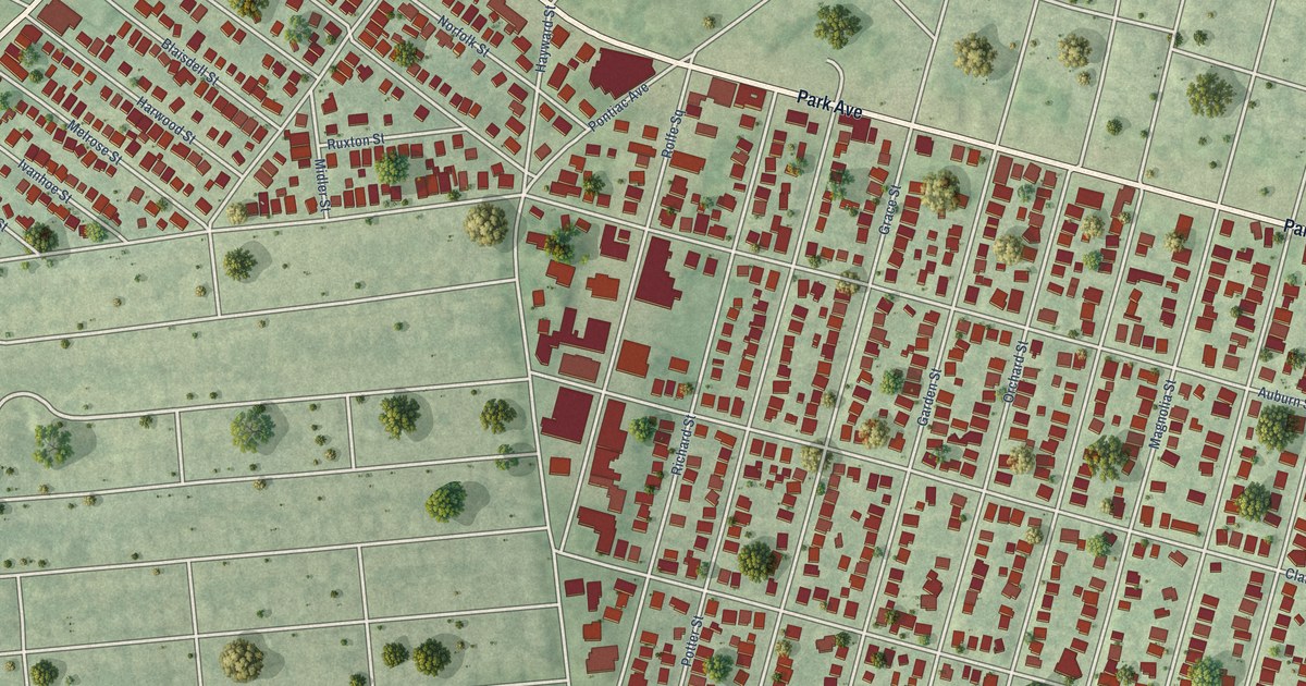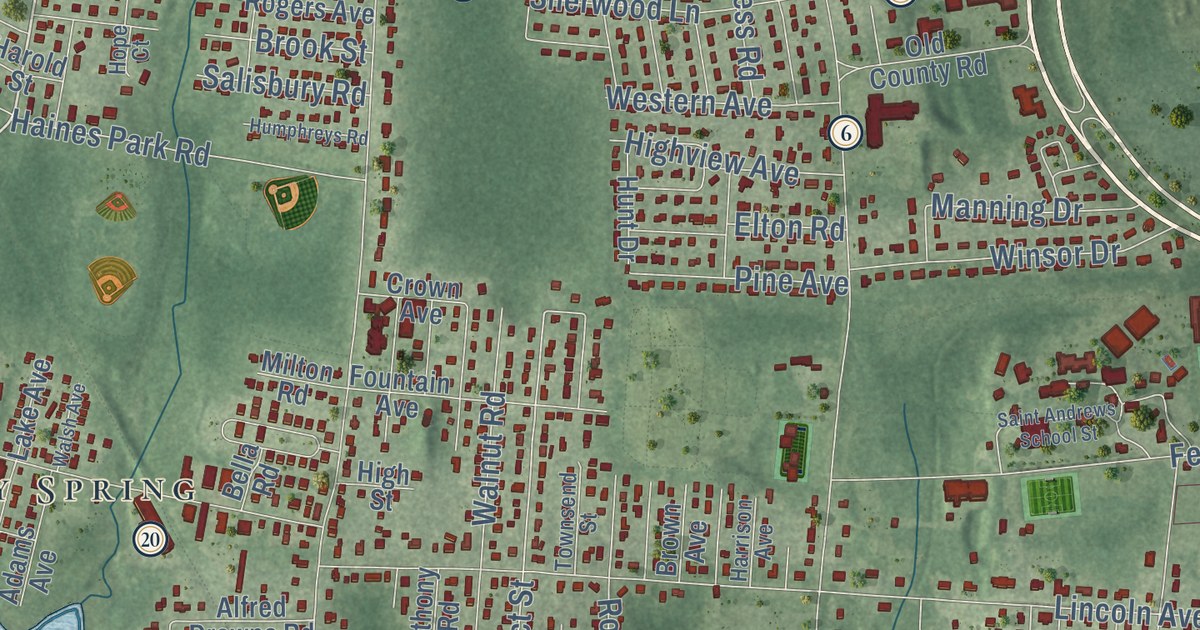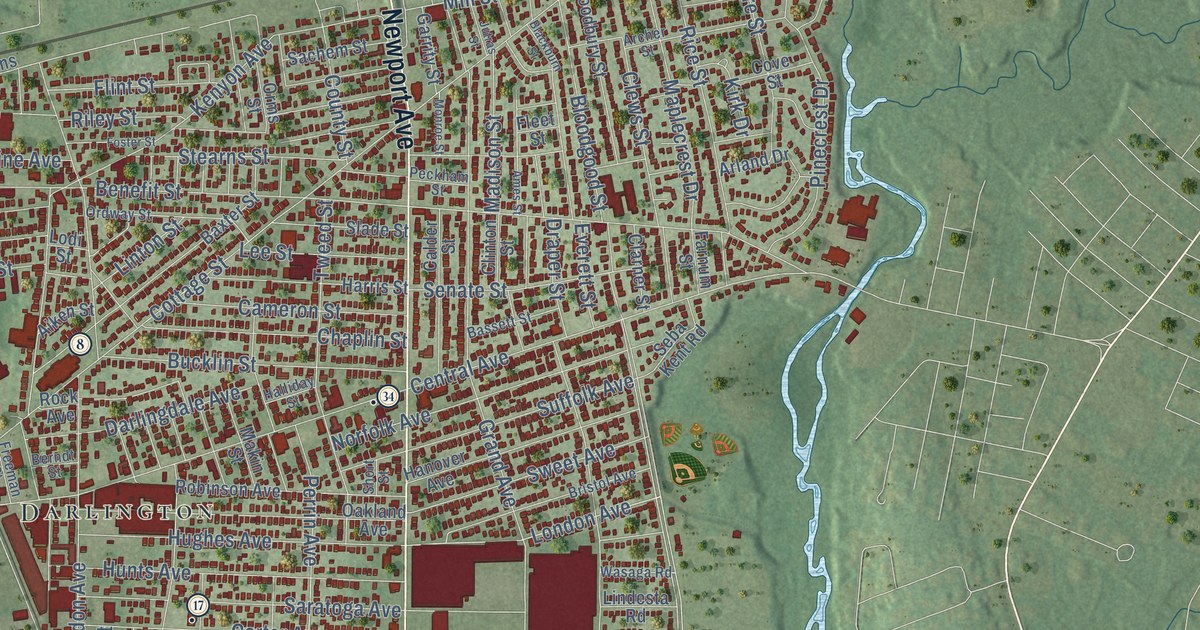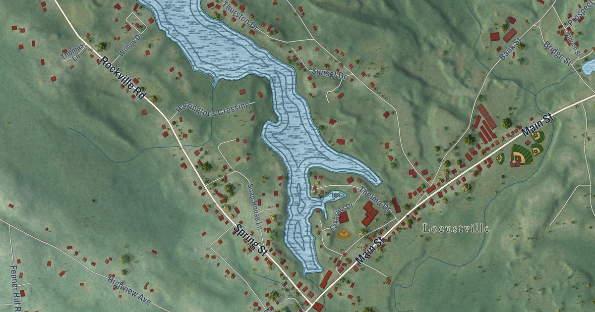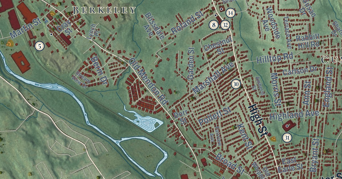
This beautifully detailed map of Cumberland, Rhode Island was created in 2026 using aerial imagery combined with modern topographical, census, street and landmark data. It’s a one-of-a-kind view of Cumberland that combines accurate data with a vintage aesthetic. The map shows every building in its true location, many of the roads carry their names, and the shaded topographic relief shows the shape of the land.
See the Cumberland, Rhode Island map on a wall
The Cumberland map as an 18 x 24 inch print in a black frame.

Explore an aerial view of Cumberland, Rhode Island
On the map you’ll find Happy Hollow, Valley Falls, Grants Mills, Cumberland Monastery, Abbott Run, Arnold Mills, Lippitt Estate, Berkeley, Cumberland Mills, Diamond Hill, Ashton, Monastery Heights, and more. If you look closely you can even find your house accurately drawn in its correct location. Zoom in on the preview to look for yours.
Did you know this piece of Cumberland, Rhode Island history?
The town was named for Prince William, Duke of Cumberland. Its first European settler was William Blackstone, who had earlier lived in Boston. He moved on after a dispute with the Puritans over religion. On his Cumberland farm in Lonsdale, he grew the Yellow Sweeting, the first American apple variety.
Take a closer look at the Cumberland map
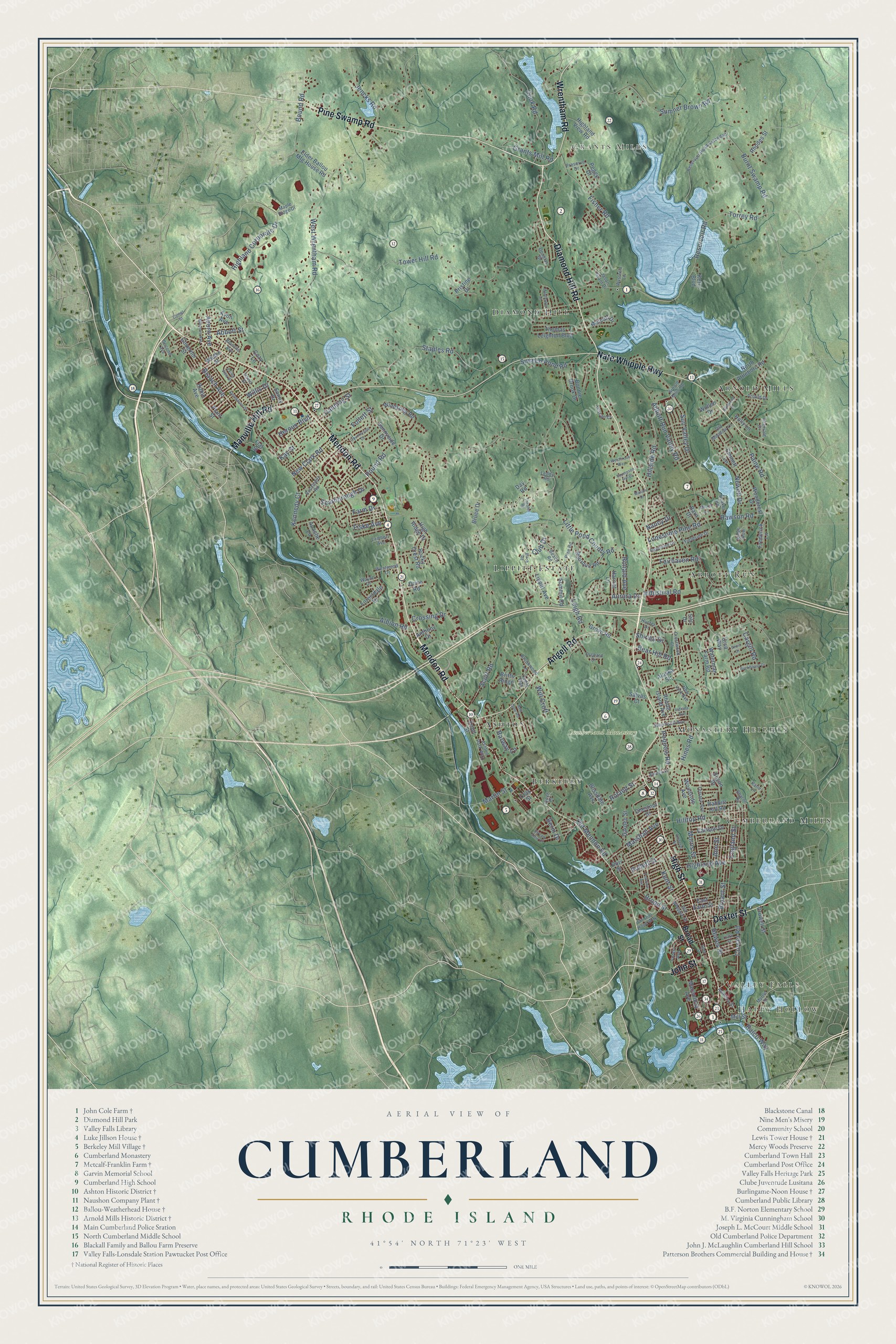
Click to explore a larger preview. The digital watermark does not appear on printed maps.
Street and place names on the Cumberland, Rhode Island map
These names are printed on the map of Cumberland, Rhode Island.
Places: Happy Hollow, Valley Falls, Grants Mills, Cumberland Monastery, Abbott Run, Arnold Mills, Lippitt Estate, Berkeley, Cumberland Mills, Diamond Hill, Ashton and Monastery Heights.
Streets and roads: Mendon Road, Diamond Hill Road, High Street, John Street, Dexter Street, Pine Swamp Road, Wrentham Road, Nate Whipple Highway, Angell Road, Manville Hill Road, Bear Hill Road, Highland Corporate Drive.
More street names, A to Z
Abbott Run Valley Road, Abbott Street, Aborn Avenue, Alaska Street, Albion Road, America Street, Amherst Street, Ann and Hope Way, Ann Street, Anthony Drive, Anvil Drive, Apache Lane, Arnold Drive, Arnold Mills Road, Ashton Park Way, Aurora Drive, Avon Avenue, Barn Drive, Barway Lane, Beach Road, Berm Drive, Biltmore Avenue, Birch Road, Blanche Avenue, Blissdale Avenue, Bonnie Brook Drive, Bound Road, Bourque Road, Branch Avenue, Britts Ridge, Broad Street, Brookwood Lane, Bruce Drive, Bryant Street, Buckboard Drive, Burnt Swamp Road, Canning Street, Cargill Road, Carlson Drive, Cedar Way, Chestnut Street, Clark Street, Club Drive, Comet Street, Cook Road, Countryside Drive, Cozy Lane, Cray Street, Crestwood Court, Crossing Drive, Crowell Street, Curran Road, David Street, Day Road, Desmarais Street, Doire Road, Dorr Street, Douglas Drive, East Earle Street, Eddy Street, Elder Ballou Mtg House Road, Elmwood Drive, Emmett Lane, England Street, Fairhaven Road, Fairview Avenue, Farm Drive, Fieldside Drive, Fisher Road, Fiske Avenue, Flat Street, Follett Street, Forest Avenue, Forestdale Drive, Frederick Lane, Front Street, Garden Street, Governor Street, Grants Mill Road, Grove Road, Harriet Lane, Heroux Boulevard, Hewes Street, Highland Avenue, Highland View Road, High Ridge Drive, Hillside Road, Hilltop Road, Hines Road, Holly Lane, Hunter Drive, Indiana Avenue, Industrial Road, Intervale Drive, Iroquois Road, Jason Grant Drive, Jencks Road, Katie Lane, Kay Street, Kennedy Court, Kent Street, Kern Boulevard, Kings Row, Lambert Avenue, Leddy Road, Leigh Road, Lippitt Avenue, Little Pond County Road, Lonesome Pine Road, Lynch Place, Macondray Avenue, Maple Ridge Drive, Marshall Avenue, Martin Street, Mason Drive, Mayflower Drive, Merrill Lane, Metcalf Drive, Mill Street, Morris Street, Myrtle Street, Nancy Drive, New Clark Road, Newell Drive, New York Avenue, North Attleboro Road, Old Meadow Lane, Old Mendon Road, Old Whipple Street, Orchard Drive, Paine Road, Peggy Drive, Pine Road, Plant Street, Pollett Street, Pound Road, Preserve Drive, Pristine Drive, Quaker Road, Rabbitt Hill Road, Ralco Way, Rawson Road, Raymond Drive, Red Gate Road, Reservoir Road, Reservoir Road Extended, Rhode Island Avenue, Rhodes Street, Robin Avenue, Rocky Crest Road, Roland Street, Ronald Avenue, Roosevelt Road, Salvas Court, Scarborough Drive, Scott Road, Second Avenue, Seneca Street, Sharon Drive, Shirley Drive, Silo Drive, Sneech Pond Road, Sonny Drive, Staples Road, Stream View Drive, Summit Road, Sumner Brown Road, Sunnyside Drive, Sun Valley Drive, Susan Drive, Terrace Avenue, Theater Road, Thomas Leighton Boulevard, Thompson Hill Drive, Torrey Road, Tower Hill Road, Tuscan Court, Ursa Way, Valley View Drive, Waterman Farm Road, Waumsett Avenue, Wayne Drive, Weeks Street, Westbrook Way, Westwood Drive, West Wrentham Road, Will Croft, Willis Drive, Windsong Road, Wollen Drive, Woodcrest Drive, Woodside Avenue, Wysteria Lane.
This beautifully detailed map of Cumberland makes an attractive addition to your office, library, or den, and it can even be used to teach children the geography and history of the area. It also makes a great gift for anyone with Cumberland roots. When you’re done exploring, click here to get your copy of the Cumberland map.